Linegar Wood
Wood, Forest in Gloucestershire Forest of Dean
England
Linegar Wood
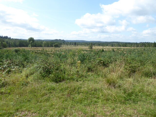
Linegar Wood is a picturesque woodland located in Gloucestershire, England. It is part of the Forest of Dean, which is known for its ancient woodlands and natural beauty. The wood covers an area of approximately 200 acres and is a designated Site of Special Scientific Interest (SSSI) due to its rich biodiversity.
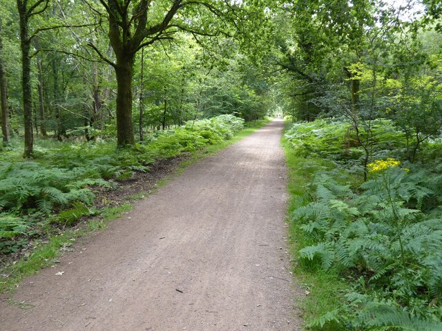
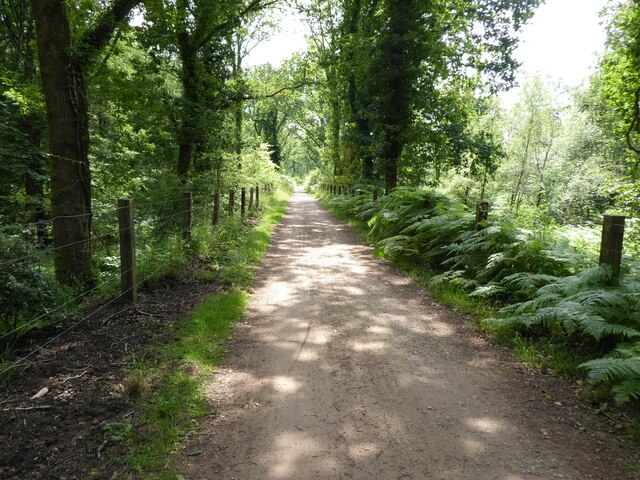
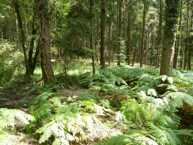
Linegar Wood is predominantly made up of broadleaved trees, such as oak, beech, and ash, creating a dense and lush canopy. The woodland floor is covered with a variety of flora, including bluebells, wood anemones, and wild garlic, which create a vibrant carpet of colors during the spring months.
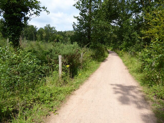
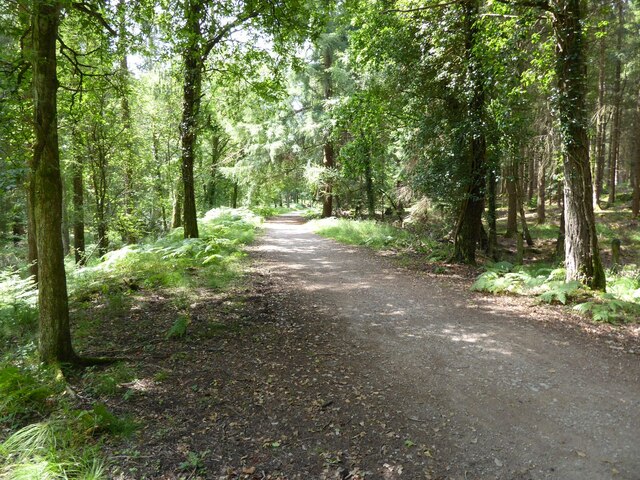
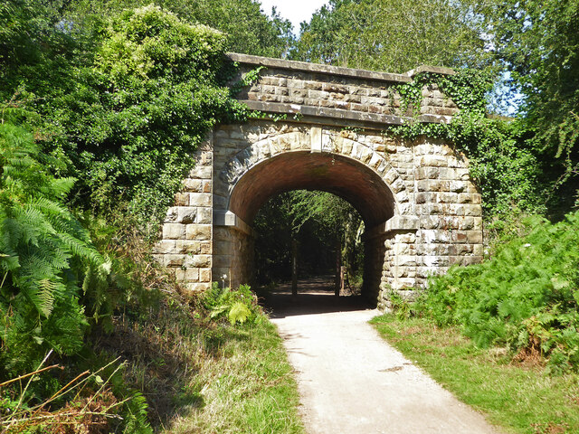
The wood is intersected by several footpaths, making it easily accessible for visitors who wish to explore its natural wonders. These paths meander through the trees, allowing visitors to immerse themselves in the peaceful and tranquil environment. The wood also provides habitat for a range of wildlife, including deer, badgers, and a variety of bird species, making it a haven for nature enthusiasts and wildlife photographers.
Linegar Wood is managed by the Forestry Commission, which ensures the preservation of its natural heritage. The commission also conducts regular surveys to monitor and protect the diverse range of plant and animal species found within the wood.
Overall, Linegar Wood in Gloucestershire is a stunning example of ancient woodland, offering visitors a chance to escape the hustle and bustle of everyday life and immerse themselves in the beauty of nature.
If you have any feedback on the listing, please let us know in the comments section below.
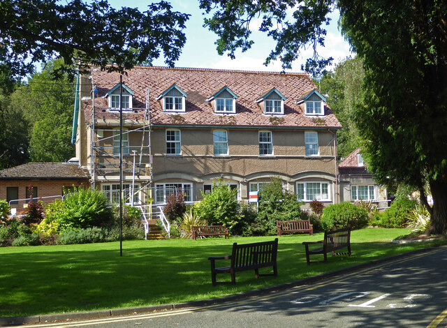
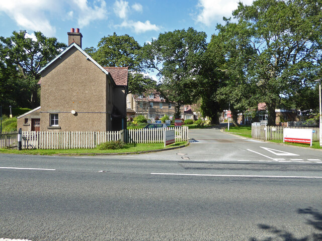
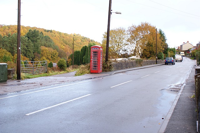
Linegar Wood Images
Images are sourced within 2km of 51.804712/-2.5019493 or Grid Reference SO6511. Thanks to Geograph Open Source API. All images are credited.


Linegar Wood is located at Grid Ref: SO6511 (Lat: 51.804712, Lng: -2.5019493)
Administrative County: Gloucestershire
District: Forest of Dean
Police Authority: Gloucestershire
What 3 Words
///coining.processes.uniform. Near Cinderford, Gloucestershire
Nearby Locations
Related Wikis
Ruspidge
Ruspidge is a village in the Forest of Dean district of west Gloucestershire, England. The civil parish includes Soudley It is located near the town of...

Buckshraft Mine & Bradley Hill Railway Tunnel
Buckshaft Mine & Bradley Hill Railway Tunnel (SO655121 and SO662104) is a 5.66-hectare (14.0-acre) biological Site of Special Scientific Interest in Gloucestershire...
Staple Edge Halt railway station
Staple Edge Halt railway station is a disused railway station opened by the Great Western Railway (GWR) on the former Bullo Pill Railway, later known as...

Eastern United Colliery
Eastern United Colliery was a drift mine in the Forest of Dean, Gloucestershire, England served by the Great Western Railway's Forest of Dean Branch. The...

Ruspidge Halt railway station
Ruspidge Halt railway station is a disused railway station opened by the Great Western Railway (GWR) on the former Bullo Pill Railway, later known as the...

Soudley Ponds
Lying close to the village of Soudley in the Forest of Dean, west Gloucestershire, Soudley Ponds (grid reference SO662112), also known as Sutton Ponds...

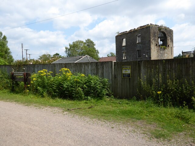
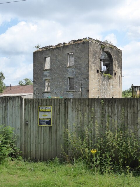
Cinderford Ironworks
Cinderford Ironworks, also known as Cinderford Furnace, was a coke-fired blast furnace, built in 1795, just west of Cinderford, in the Forest of Dean,...

Soudley
Soudley, including Upper Soudley, is a village to the west of Cinderford, in the Forest of Dean, Gloucestershire, England. It joins with Ruspidge to form...
Nearby Amenities
Located within 500m of 51.804712,-2.5019493Have you been to Linegar Wood?
Leave your review of Linegar Wood below (or comments, questions and feedback).