Long Green
Wood, Forest in Gloucestershire Forest of Dean
England
Long Green
Long Green is a small village located in the county of Gloucestershire, England. Situated within the picturesque Forest of Dean, it is known for its stunning natural beauty and tranquil surroundings. The village is nestled amidst rolling hills and dense woodlands, providing a haven for nature lovers and outdoor enthusiasts.
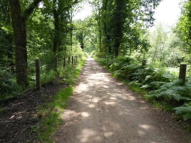
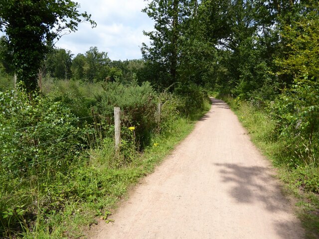
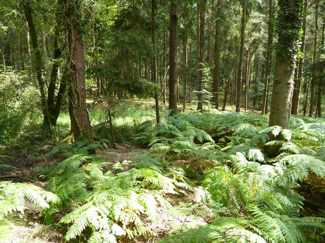
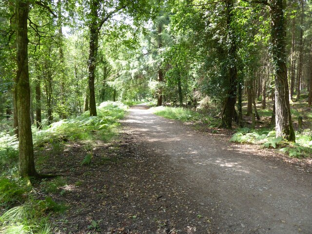
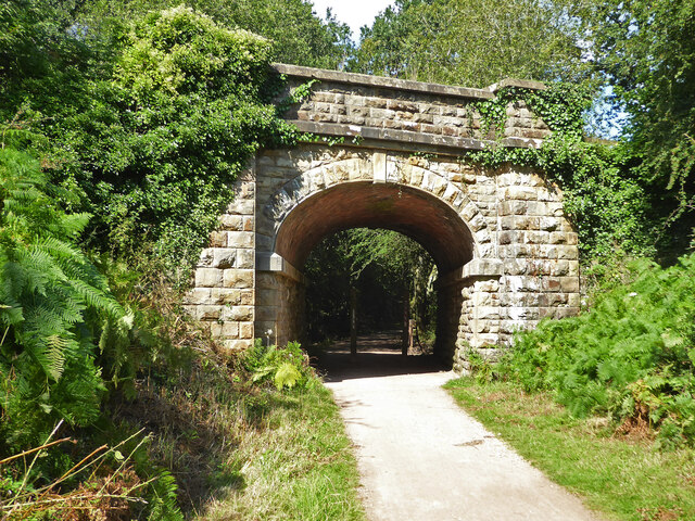
The area is renowned for its ancient woodlands, which are home to a diverse range of flora and fauna. Visitors to Long Green can explore the numerous walking trails and enjoy the peacefulness of the forest. The woodlands are particularly famous for their bluebells, which create a vibrant carpet of color during the springtime.
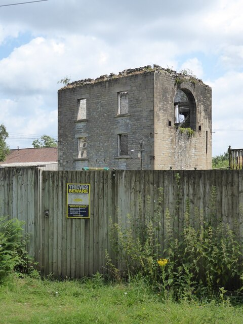
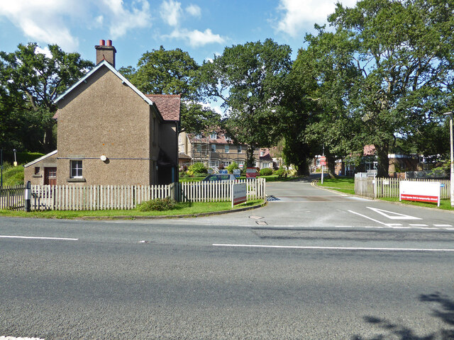
Long Green itself is a quaint village with a close-knit community. It features a small number of traditional stone cottages that add to its charm. The village has a rich history, with evidence of human settlement dating back to Roman times. It has managed to maintain its rural character over the years, with a lack of modern development and a focus on preserving the natural environment.
While Long Green may not have many amenities, it offers a peaceful retreat away from the hustle and bustle of city life. Visitors can enjoy the tranquility of the woodlands, indulge in outdoor activities such as hiking or birdwatching, or simply relax in the serenity of the village. Long Green truly embodies the idyllic countryside setting that Gloucestershire is known for, making it a popular destination for those seeking a rural escape.
If you have any feedback on the listing, please let us know in the comments section below.
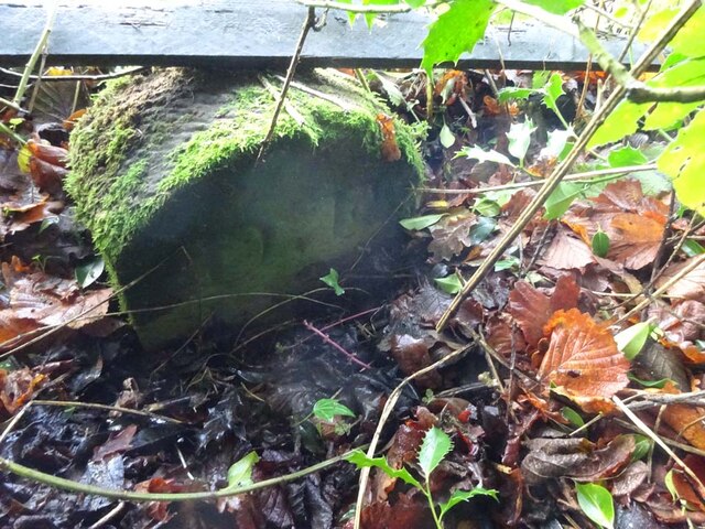
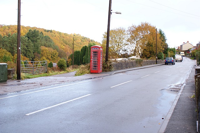
Long Green Images
Images are sourced within 2km of 51.801863/-2.5016131 or Grid Reference SO6511. Thanks to Geograph Open Source API. All images are credited.


Long Green is located at Grid Ref: SO6511 (Lat: 51.801863, Lng: -2.5016131)
Administrative County: Gloucestershire
District: Forest of Dean
Police Authority: Gloucestershire
What 3 Words
///yoga.sway.superbly. Near Cinderford, Gloucestershire
Nearby Locations
Related Wikis
Ruspidge
Ruspidge is a village in the Forest of Dean district of west Gloucestershire, England. The civil parish includes Soudley It is located near the town of...

Buckshraft Mine & Bradley Hill Railway Tunnel
Buckshaft Mine & Bradley Hill Railway Tunnel (SO655121 and SO662104) is a 5.66-hectare (14.0-acre) biological Site of Special Scientific Interest in Gloucestershire...
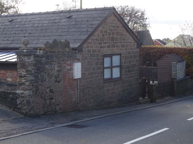
Staple Edge Halt railway station
Staple Edge Halt railway station is a disused railway station opened by the Great Western Railway (GWR) on the former Bullo Pill Railway, later known as...

Eastern United Colliery
Eastern United Colliery was a drift mine in the Forest of Dean, Gloucestershire, England served by the Great Western Railway's Forest of Dean Branch. The...

Soudley Ponds
Lying close to the village of Soudley in the Forest of Dean, west Gloucestershire, Soudley Ponds (grid reference SO662112), also known as Sutton Ponds...

Soudley
Soudley, including Upper Soudley, is a village to the west of Cinderford, in the civil parish of Ruspidge and Soudley, in the Forest of Dean district,...
Upper Soudley Halt railway station
Upper Soudley Halt railway station is a disused railway station that was opened by the Great Western Railway (GWR) on the former Bullo Pill Railway, later...

Ruspidge Halt railway station
Ruspidge Halt railway station is a disused railway station opened by the Great Western Railway (GWR) on the former Bullo Pill Railway, later known as the...
Nearby Amenities
Located within 500m of 51.801863,-2.5016131Have you been to Long Green?
Leave your review of Long Green below (or comments, questions and feedback).