Sleeper's Hill
Hill, Mountain in Gloucestershire Forest of Dean
England
Sleeper's Hill
Sleeper's Hill is a picturesque hill located in Gloucestershire, England. Standing at an elevation of around 300 meters, it is considered a prominent landmark in the region. The hill is situated within the Cotswolds, a designated Area of Outstanding Natural Beauty, which further adds to its appeal.
The hill derives its name from the legend that claims it was once a burial ground for ancient warriors who slept eternally under its gentle slopes. This folklore has added an air of mystique to Sleeper's Hill, attracting visitors and locals alike.
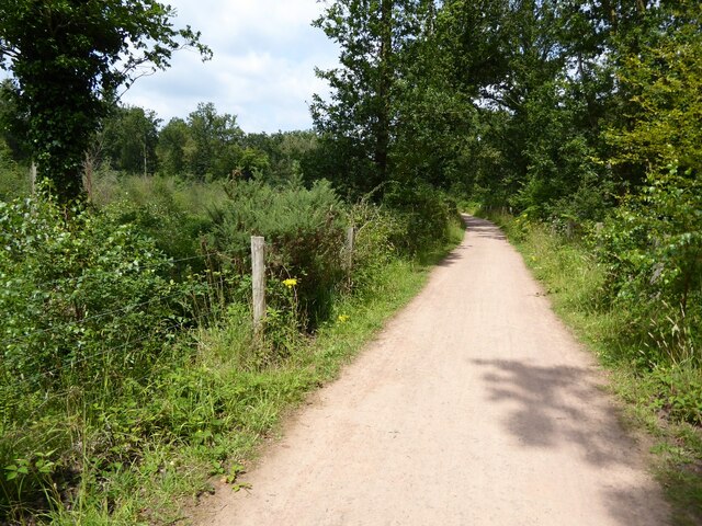
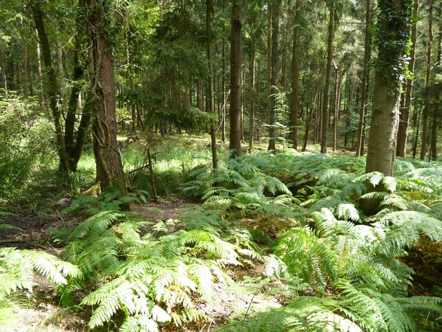
The landscape surrounding Sleeper's Hill is breathtaking, characterized by rolling green fields, scattered woodlands, and charming villages. The hill offers panoramic views of the surrounding countryside, including the Cotswold Hills, which are renowned for their quintessential English charm.
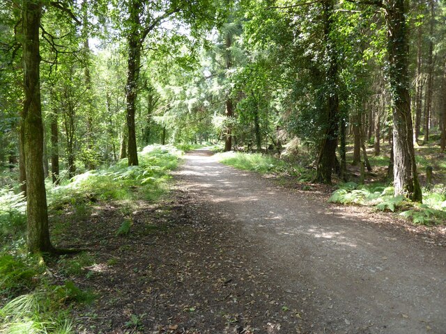
Hiking and walking trails are available for outdoor enthusiasts, providing an opportunity to explore the natural beauty of the area. The hill is also a popular spot for picnicking, offering a peaceful and serene setting for visitors to unwind and enjoy the scenery.
Sleeper's Hill is easily accessible by road, with parking facilities available nearby. It is a short distance from the town of Cheltenham, which offers a range of amenities and attractions for visitors.
In summary, Sleeper's Hill in Gloucestershire is a captivating natural landmark, offering stunning views and a sense of tranquility. Its rich history, coupled with the surrounding beauty of the Cotswolds, makes it an idyllic destination for nature lovers and those seeking a peaceful escape.
If you have any feedback on the listing, please let us know in the comments section below.
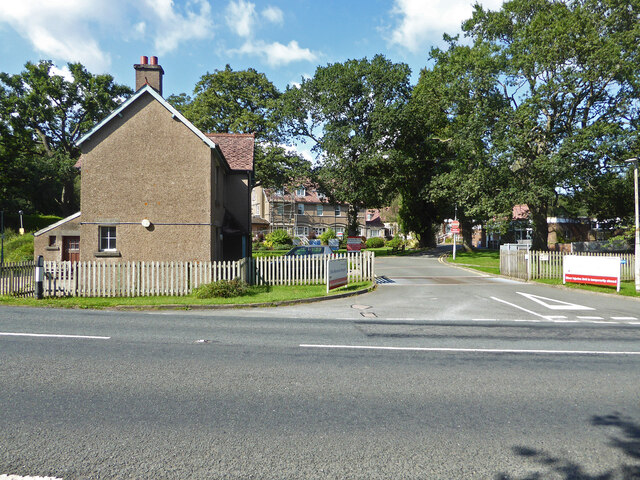
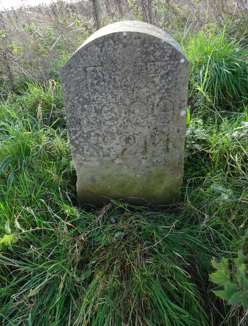
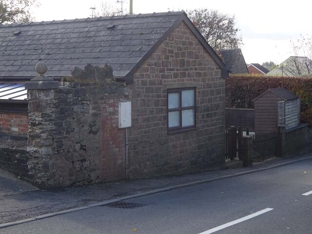
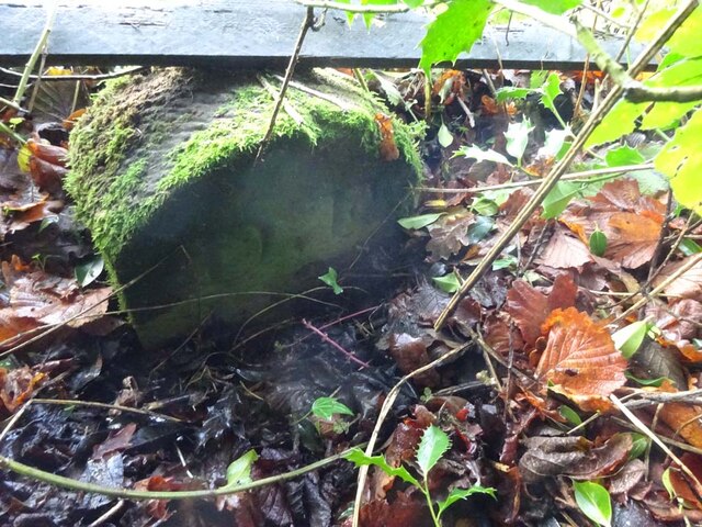
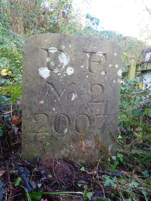
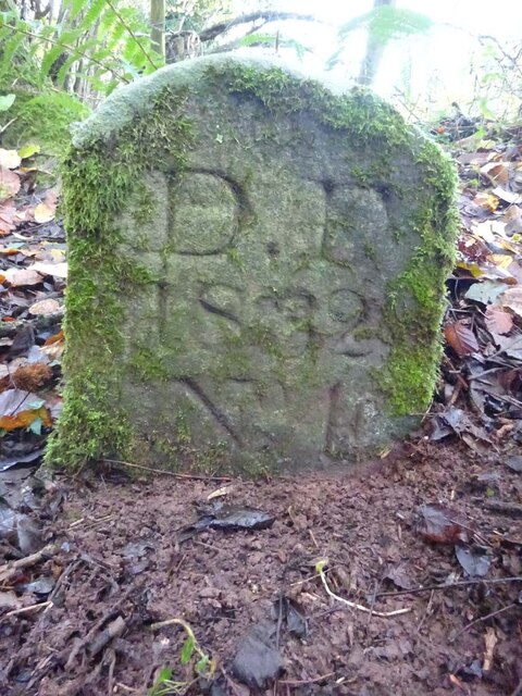
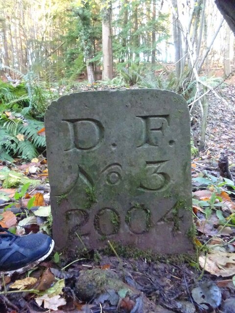
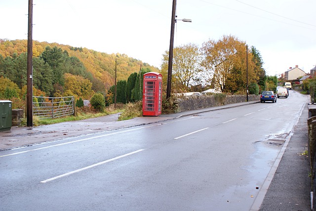
Sleeper's Hill Images
Images are sourced within 2km of 51.801691/-2.4998564 or Grid Reference SO6511. Thanks to Geograph Open Source API. All images are credited.


Sleeper's Hill is located at Grid Ref: SO6511 (Lat: 51.801691, Lng: -2.4998564)
Administrative County: Gloucestershire
District: Forest of Dean
Police Authority: Gloucestershire
What 3 Words
///punt.interlude.miles. Near Cinderford, Gloucestershire
Nearby Locations
Related Wikis
Ruspidge
Ruspidge is a village in the Forest of Dean district of west Gloucestershire, England. The civil parish includes Soudley It is located near the town of...

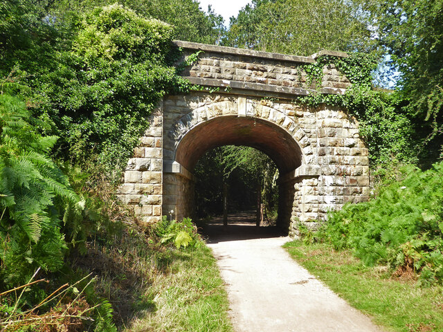
Buckshraft Mine & Bradley Hill Railway Tunnel
Buckshaft Mine & Bradley Hill Railway Tunnel (SO655121 and SO662104) is a 5.66-hectare (14.0-acre) biological Site of Special Scientific Interest in Gloucestershire...

Soudley Ponds
Lying close to the village of Soudley in the Forest of Dean, west Gloucestershire, Soudley Ponds (grid reference SO662112), also known as Sutton Ponds...
Staple Edge Halt railway station
Staple Edge Halt railway station is a disused railway station opened by the Great Western Railway (GWR) on the former Bullo Pill Railway, later known as...

Eastern United Colliery
Eastern United Colliery was a drift mine in the Forest of Dean, Gloucestershire, England served by the Great Western Railway's Forest of Dean Branch. The...

Soudley
Soudley, including Upper Soudley, is a village to the west of Cinderford, in the Forest of Dean, Gloucestershire, England. It joins with Ruspidge to form...
Upper Soudley Halt railway station
Upper Soudley Halt railway station is a disused railway station that was opened by the Great Western Railway (GWR) on the former Bullo Pill Railway, later...

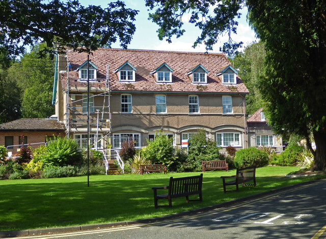
Dean Heritage Centre
The Dean Heritage Centre is located in the valley of Soudley, Gloucestershire, England in the Forest of Dean and exists to record and preserve the social...
Nearby Amenities
Located within 500m of 51.801691,-2.4998564Have you been to Sleeper's Hill?
Leave your review of Sleeper's Hill below (or comments, questions and feedback).