Half Moon Coppice

Wood, Forest in Dorset

England

Half Moon Coppice

Old Pucksey Brook Railway Bridge Bridge on the disused Abbotsbury railway.
Old Pucksey Brook Railway Bridge Credit: Thomas McCabe

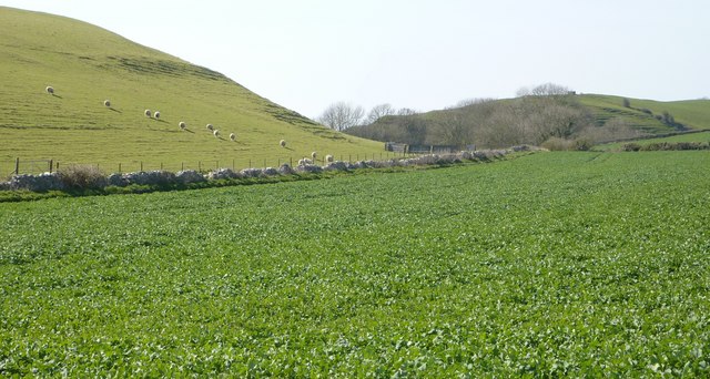
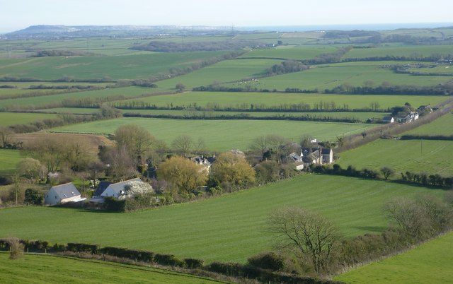
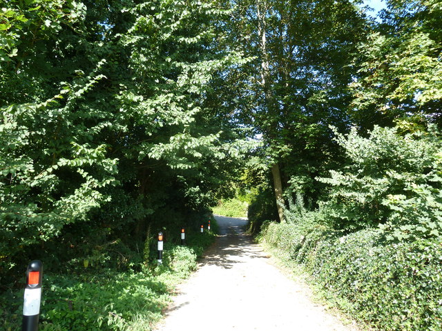
Half Moon Coppice is a beautiful woodland located in Dorset, England. Spanning over several acres, it is a perfect destination for nature enthusiasts and those seeking tranquility. The coppice is characterized by its dense forest cover, consisting primarily of oak, ash, and beech trees.

The woodland is renowned for its rich biodiversity. It provides a habitat for a wide range of plant and animal species, including badgers, foxes, and various species of birds. The diverse vegetation found within the coppice supports a thriving ecosystem, offering a serene environment for visitors to explore.

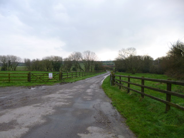
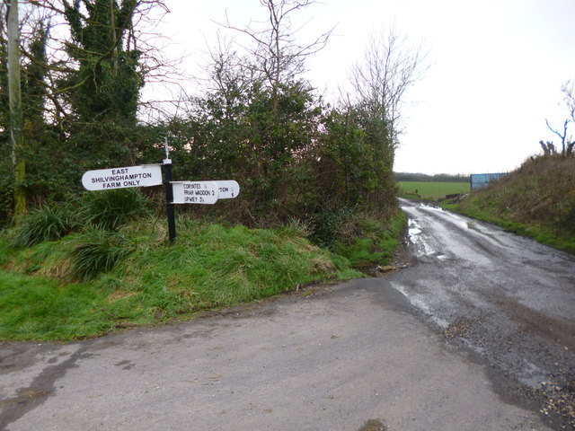
Visitors to Half Moon Coppice can enjoy a variety of recreational activities. There are numerous walking trails that wind through the woodland, allowing visitors to immerse themselves in the natural beauty of the area. Birdwatching and wildlife spotting are also popular activities, with many visitors coming equipped with binoculars and cameras to capture the beauty of the local fauna.

The coppice is well-maintained, with designated picnic areas and benches scattered throughout the woodland for visitors to relax and enjoy a picnic lunch amidst the peaceful surroundings. Additionally, there are several information boards located at key points along the trails, providing educational insights into the local flora and fauna.

Half Moon Coppice is easily accessible, with ample parking facilities available for visitors. The woodland is open to the public throughout the year, with no admission fee. Whether one seeks a peaceful stroll through nature, a family picnic, or an opportunity to connect with the local wildlife, Half Moon Coppice offers a truly enchanting experience for all.

If you have any feedback on the listing, please let us know in the comments section below.

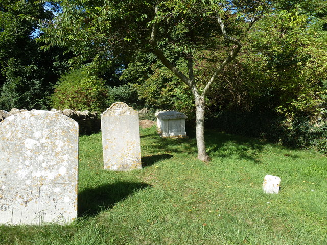
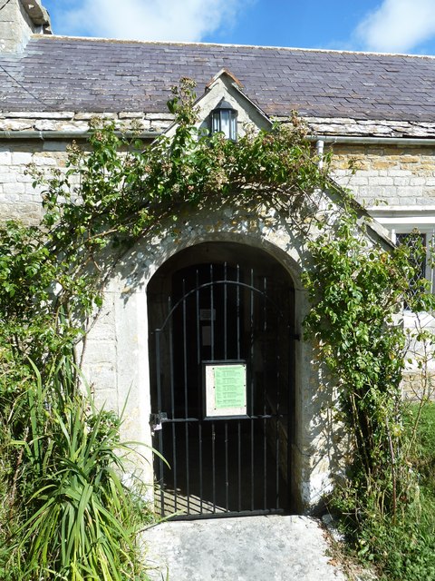
Half Moon Coppice Images

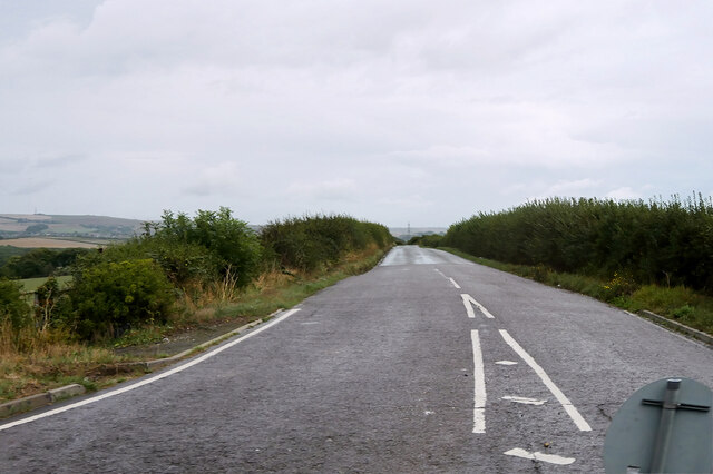
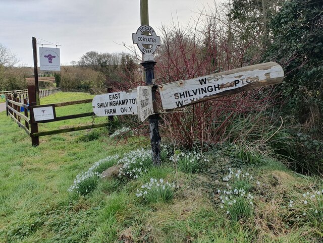
Images are sourced within 2km of 50.652823/-2.5105578 or Grid Reference SY6483. Thanks to Geograph Open Source API. All images are credited.

Old Pucksey Brook Railway Bridge Bridge on the disused Abbotsbury railway.
Old Pucksey Brook Railway Bridge
Bridge on the disused Abbotsbury railway.
Nottington Lane
Nottington Lane
Direction Sign - Signpost on Cheese Lane near Coryates Located south of Coryates on the southwest side of the junction of Cheese Lane and the road to East Shilvinghampton Farm in Portesham parish. 3 arms and annulus & bar finial. See <a title="https://www.geograph.org.uk/photo/6099271" href="https://www.geograph.org.uk/photo/6099271">Link</a> to compare with its condition in 2013, and <a title="https://www.geograph.org.uk/photo/3308110" href="https://www.geograph.org.uk/photo/3308110">Link</a> and <a title="https://www.geograph.org.uk/photo/1092395" href="https://www.geograph.org.uk/photo/1092395">Link</a> for alternative views

Milestone Society National ID: DO_SY6284
Direction Sign - Signpost on Cheese Lane near Coryates
Located south of Coryates on the southwest side of the junction of Cheese Lane and the road to East Shilvinghampton Farm in Portesham parish. 3 arms and annulus & bar finial. See Link to compare with its condition in 2013, and Link and Link for alternative views Milestone Society National ID: DO_SY6284
Sheep on Corton Hill
Coryates and Portland
Coryates, farm road Farm road and footpath, from the Portesham to Shilvinghampton road; leading to East Shilvinghampton Farm.
Coryates, farm road
Farm road and footpath, from the Portesham to Shilvinghampton road; leading to East Shilvinghampton Farm.
Coryates, fingerpost Dorset gridded fingerpost, at the junction of the Portesham to Broadwey road, and the road to East Shilvinghampton Farm; bearing grid number "628 847".
Coryates, fingerpost
Dorset gridded fingerpost, at the junction of the Portesham to Broadwey road, and the road to East Shilvinghampton Farm; bearing grid number "628 847".
Corton, Blackacre Farm
St Nicholas, Buckland Ripers: September 2013
Rush hour in Buckland Ripers
St Nicholas, Buckland Ripers: churchyard (a)
St Nicholas, Buckland Ripers: churchyard (b)
Rush hour in Buckland Ripers (2) Looking north-west down Church Lane
Rush hour in Buckland Ripers (2)
Looking north-west down Church Lane
St Nicholas, Buckland Ripers: churchyard (c)
St Nicholas, Buckland Ripers: churchyard (d)
St Nicholas, Buckland Ripers: churchyard (e)
St Nicholas, Buckland Ripers: churchyard (f)
St Nicholas, Buckland Ripers: entrance
Show me another place!

Half Moon Coppice is located at Grid Ref: SY6483 (Lat: 50.652823, Lng: -2.5105578)

Unitary Authority: Dorset

Police Authority: Dorset

What 3 Words

///brimmed.keyboard.distilled. Near Chickerell, Dorset

Related Wikis

Buckland Ripers

Buckland Ripers is a hamlet in Dorset, England, situated four miles north west of Weymouth. == External links == Dorset OPC Buckland Ripers Parish page...

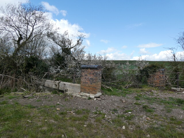
Coryates Halt railway station

Coryates Halt was a small railway station on the Abbotsbury branch railway in the west of the English county of Dorset. It consisted of a single platform...

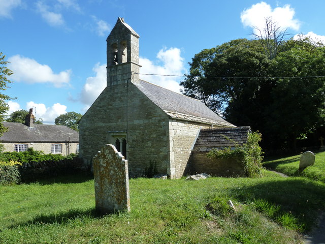
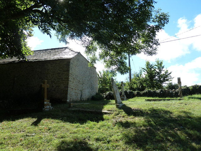
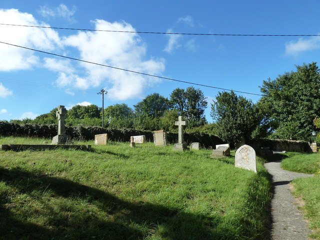
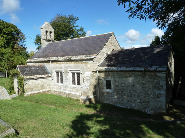
St Bartholomew's Chapel, Corton

St Bartholomew's Chapel is a Church of England chapel in Corton, near Weymouth, Dorset, England. The chapel has early 13th century origins, with later...

Corton Cutting

Corton Cutting (grid reference SY637855) is a 0.24 hectare geological Site of Special Scientific Interest in Dorset, England, notified in 1997. The site...

Nearby Amenities

Located within 500m of 50.652823,-2.5105578
Power: tower
Lat/Long: 50.649369/-2.508041
Design: barrel
Power: tower
Lat/Long: 50.6565237/-2.5091746
Power: tower
Lat/Long: 50.6518222/-2.5045027
Design: barrel
Power: tower
Lat/Long: 50.6514655/-2.5102828
Design: barrel
Power: tower
Lat/Long: 50.6545062/-2.5095866
Power: tower
Lat/Long: 50.6520442/-2.5089844
Power: tower
Lat/Long: 50.6531697/-2.5093763
Power: tower
Source: bing
Lat/Long: 50.654871/-2.510098
Power: tower
Lat/Long: 50.6550911/-2.5064067
Power: tower
Lat/Long: 50.65622/-2.5105629
Power: tower
Lat/Long: 50.6537951/-2.5056637
The data included in this document is from www.openstreetmap.org. The data is made available under ODbL.

Have you been to Half Moon Coppice?

Leave your review of Half Moon Coppice below (or comments, questions and feedback).