Square Coppice
Wood, Forest in Dorset
England
Square Coppice
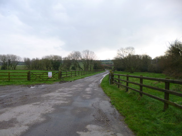
Square Coppice is a small woodland located in the county of Dorset, England. It covers an area of approximately 10 hectares and is situated near the village of Broadmayne, about 5 miles east of the town of Dorchester.
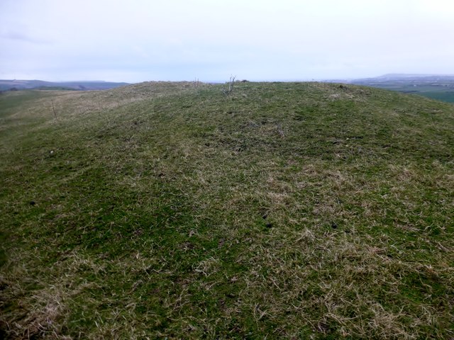
The woodland is characterized by its dense and diverse vegetation, consisting mainly of deciduous trees such as oak, beech, and ash. These trees form a canopy that provides shade and shelter for a variety of plant and animal species. The forest floor is covered with a rich carpet of ferns, mosses, and wildflowers, creating a vibrant and picturesque environment.
Square Coppice is a popular destination for nature enthusiasts and walkers who can explore the numerous footpaths and trails that wind through the woodland. These paths offer stunning views of the surrounding countryside and provide opportunities for birdwatching and wildlife spotting.
The woodland is also home to a variety of wildlife, including deer, badgers, foxes, and a wide range of bird species. The presence of such diverse habitats makes Square Coppice an important conservation area, attracting researchers and environmentalists who study and monitor the flora and fauna.
Square Coppice is managed by the local authorities in partnership with conservation organizations to ensure its preservation and protection. Regular maintenance activities such as tree felling and coppicing are carried out to maintain the health and vitality of the woodland.
Overall, Square Coppice is a beautiful and ecologically significant woodland that offers visitors a peaceful and immersive experience in nature.
If you have any feedback on the listing, please let us know in the comments section below.
Square Coppice Images
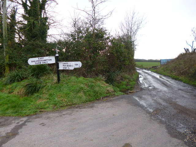
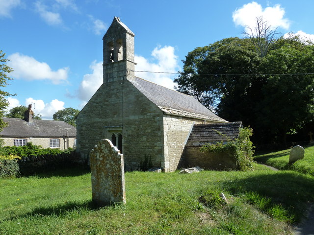
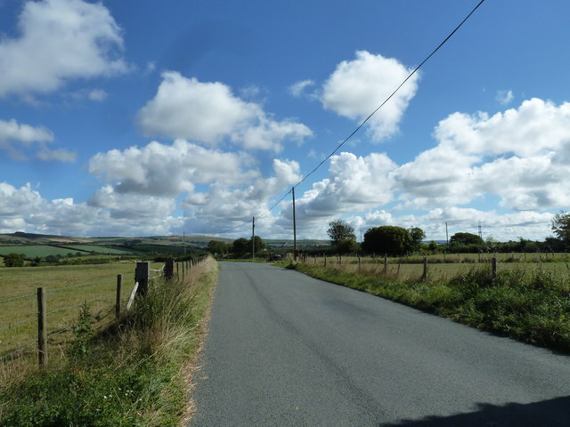
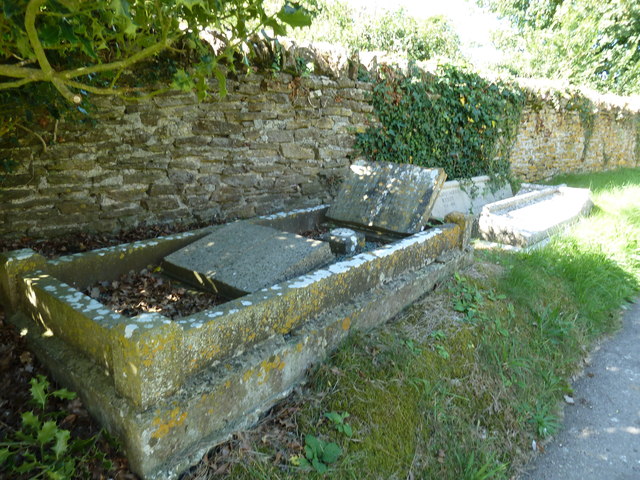
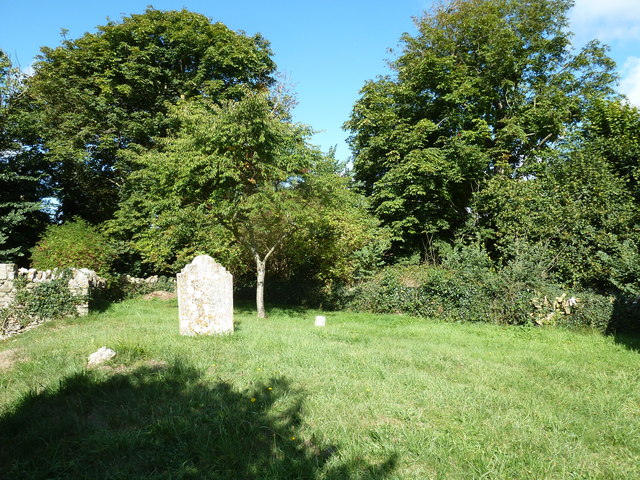
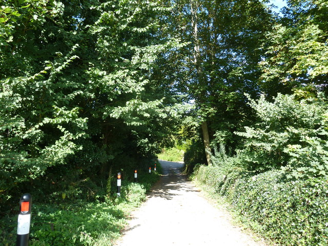
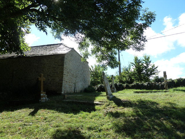
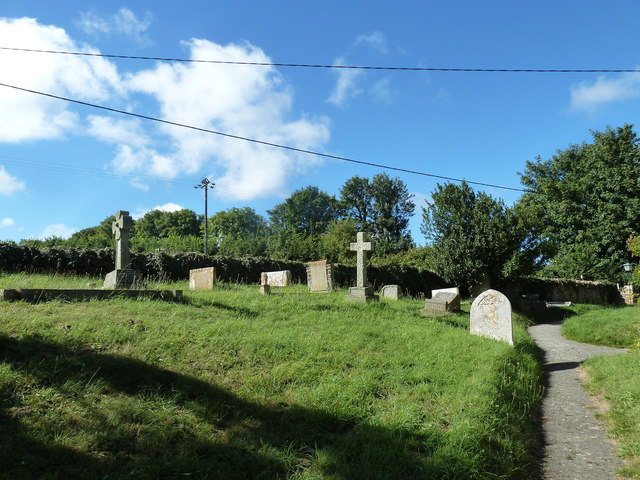
Images are sourced within 2km of 50.65144/-2.5059598 or Grid Reference SY6483. Thanks to Geograph Open Source API. All images are credited.
Square Coppice is located at Grid Ref: SY6483 (Lat: 50.65144, Lng: -2.5059598)
Unitary Authority: Dorset
Police Authority: Dorset
What 3 Words
///scooters.gent.protected. Near Chickerell, Dorset
Nearby Locations
Related Wikis

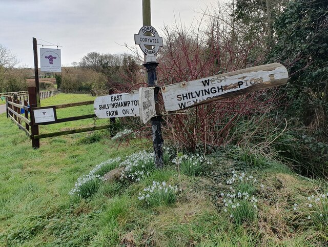
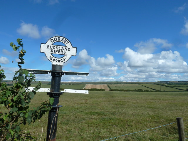
Buckland Ripers
Buckland Ripers is a hamlet in Dorset, England, situated four miles north west of Weymouth. == External links == Dorset OPC Buckland Ripers Parish page...

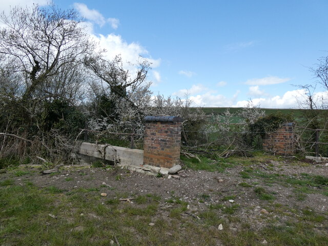
Coryates Halt railway station
Coryates Halt was a small railway station on the Abbotsbury branch railway in the west of the English county of Dorset. It consisted of a single platform...

Corton Cutting
Corton Cutting (grid reference SY637855) is a 0.24 hectare geological Site of Special Scientific Interest in Dorset, England, notified in 1997. The site...

St Bartholomew's Chapel, Corton
St Bartholomew's Chapel is a Church of England chapel in Corton, near Weymouth, Dorset, England. The chapel has early 13th century origins, with later...
Nearby Amenities
Located within 500m of 50.65144,-2.5059598Have you been to Square Coppice?
Leave your review of Square Coppice below (or comments, questions and feedback).