Ash Bed
Wood, Forest in Dorset
England
Ash Bed
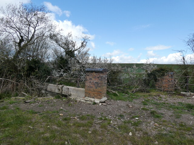
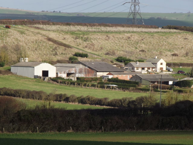
Ash Bed is a well-known woodland area located in the county of Dorset, England. This ancient forest, also referred to as Ash Bed Wood, covers an approximate area of 500 acres and is situated within the larger landscape of the Cranborne Chase and West Wiltshire Downs Area of Outstanding Natural Beauty.
The woodland is predominantly made up of ash trees, hence its name, although other tree species such as oak, beech, birch, and hawthorn can also be found within its boundaries. The forest boasts a diverse range of flora and fauna, including various wildflowers, ferns, and mosses, as well as a variety of bird species, small mammals, and insects.
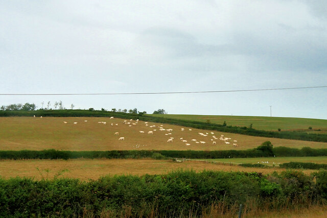
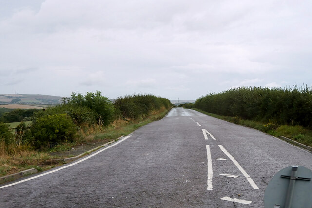
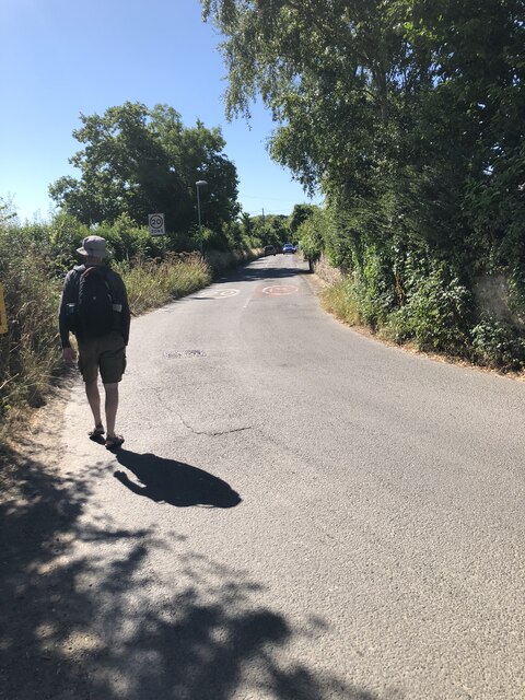
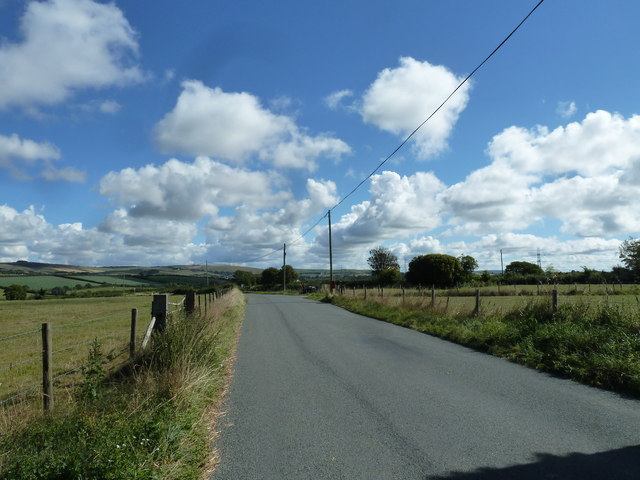
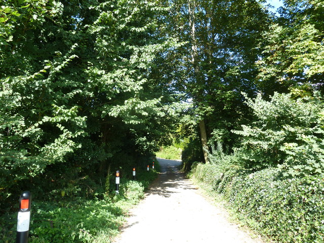
Ash Bed is surrounded by rolling hills and offers visitors breathtaking views of the surrounding countryside. It is crisscrossed by a network of well-maintained footpaths, making it an ideal destination for nature lovers, hikers, and dog walkers. The woodland is particularly popular during the spring and summer months when the trees are in full bloom and the forest floor is teeming with life.
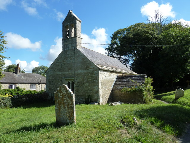
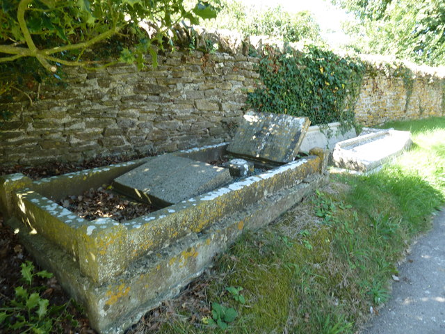
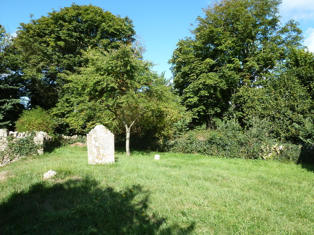
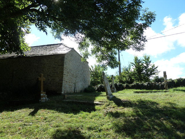
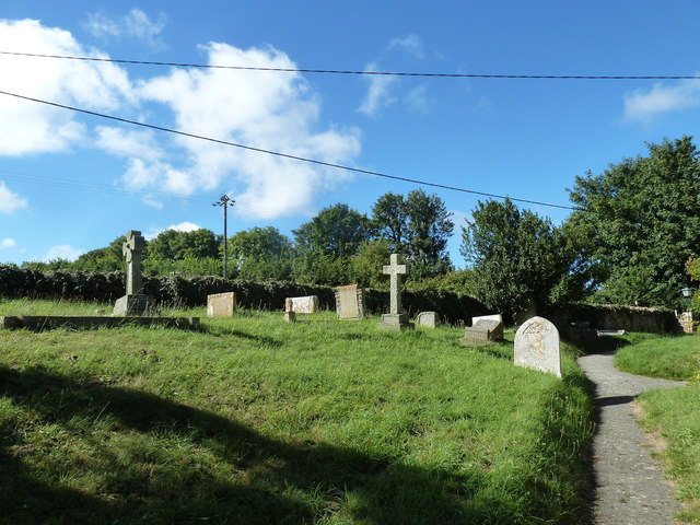
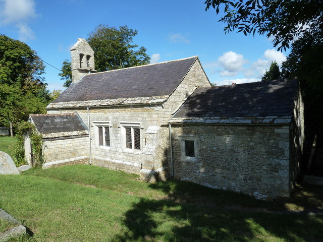
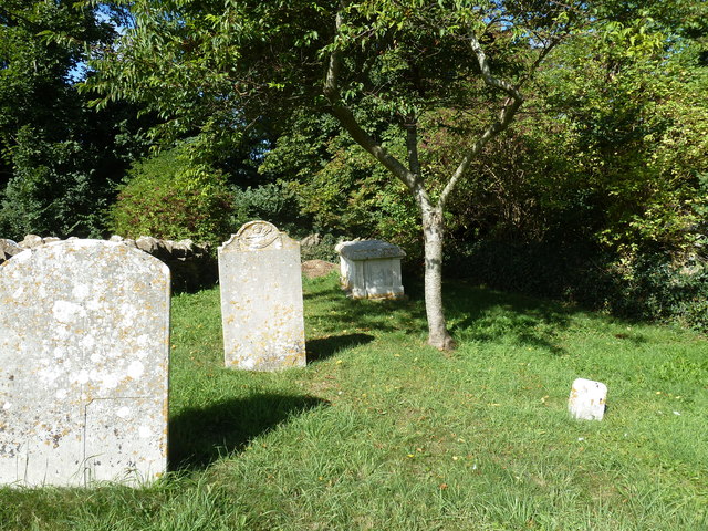
In addition to its natural beauty, Ash Bed also has historical significance. The woodland is believed to have been in existence for centuries, and remnants of ancient settlements and burial mounds can still be found within its boundaries. These archaeological features contribute to the area's appeal and provide a glimpse into its rich past.
Overall, Ash Bed in Dorset is a stunning and ecologically diverse woodland, offering visitors a tranquil escape into nature and a glimpse into the area's historical heritage.
If you have any feedback on the listing, please let us know in the comments section below.
Ash Bed Images
Images are sourced within 2km of 50.646257/-2.5067951 or Grid Reference SY6483. Thanks to Geograph Open Source API. All images are credited.
Ash Bed is located at Grid Ref: SY6483 (Lat: 50.646257, Lng: -2.5067951)
Unitary Authority: Dorset
Police Authority: Dorset
What 3 Words
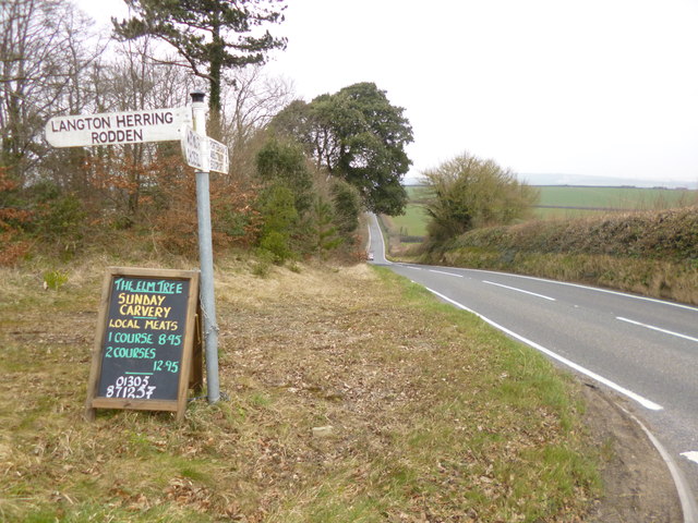
///lined.dices.innocence. Near Chickerell, Dorset
Nearby Locations
Related Wikis

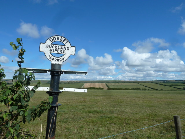
Buckland Ripers
Buckland Ripers is a hamlet in Dorset, England, situated four miles north west of Weymouth. == External links == Dorset OPC Buckland Ripers Parish page...

Nottington
Nottington is a village within the Dorset unitary authority area of the county of Dorset, England. Its nearest town is Weymouth, which lies approximately...

Coryates Halt railway station
Coryates Halt was a small railway station on the Abbotsbury branch railway in the west of the English county of Dorset. It consisted of a single platform...

Chickerell
Chickerell is a town and parish in Dorset, England. In the 2011 census the parish and the electoral ward had a population of 5,515. == History == Although...
Nearby Amenities
Located within 500m of 50.646257,-2.5067951Have you been to Ash Bed?
Leave your review of Ash Bed below (or comments, questions and feedback).