Moor Coppice
Wood, Forest in Dorset
England
Moor Coppice
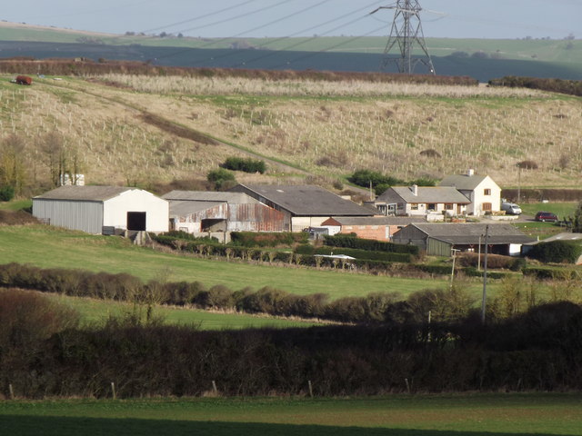
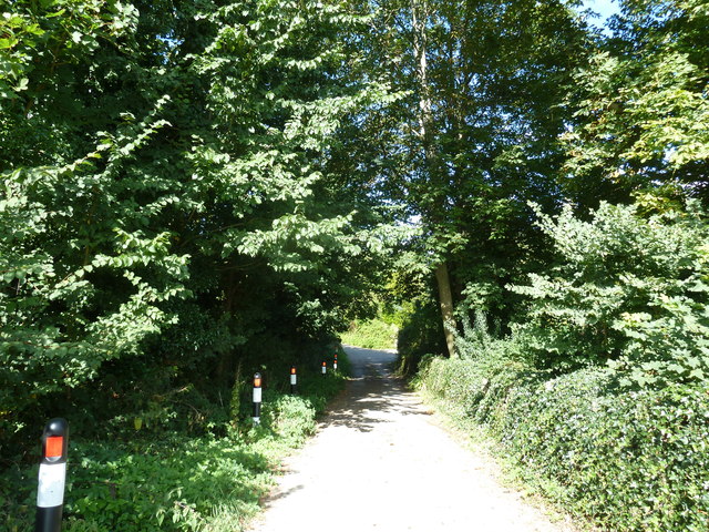
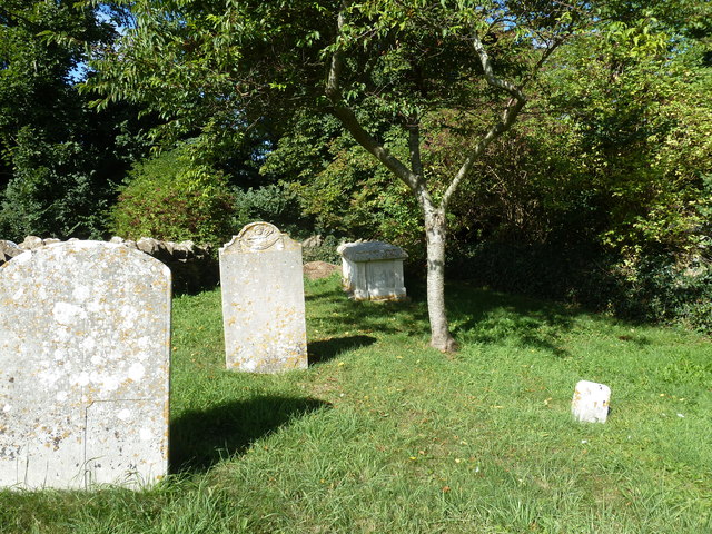
Moor Coppice is a picturesque woodland located in Dorset, England. Spanning over a vast area, it is known for its diverse range of flora and fauna, making it a popular destination for nature enthusiasts and hikers alike.
The forest is primarily composed of a mixture of deciduous and coniferous trees, including oak, beech, pine, and birch. These towering trees provide a dense canopy that creates a cool and peaceful atmosphere within the woods. The forest floor is covered with a thick layer of moss and ferns, adding to its enchanting appeal.
Moor Coppice is home to a variety of wildlife, including deer, foxes, badgers, and numerous species of birds. Birdwatchers can spot woodpeckers, owls, and various songbirds in the area. The forest also has several ponds and streams, attracting a plethora of aquatic creatures such as frogs, newts, and dragonflies.
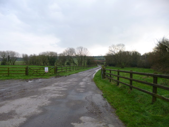
For outdoor enthusiasts, Moor Coppice offers a network of well-maintained trails, allowing visitors to explore its beauty at their own pace. These trails cater to both casual walkers and more experienced hikers, providing a range of difficulty levels and distances. Along the trails, there are designated picnic areas, providing a perfect spot to relax and enjoy the natural surroundings.
Moor Coppice is a true haven for nature lovers, offering a serene and tranquil escape from the hustle and bustle of daily life. Its rich biodiversity and stunning scenery make it a must-visit destination for anyone seeking to immerse themselves in the beauty of nature.
If you have any feedback on the listing, please let us know in the comments section below.
Moor Coppice Images
Images are sourced within 2km of 50.650361/-2.5101067 or Grid Reference SY6483. Thanks to Geograph Open Source API. All images are credited.
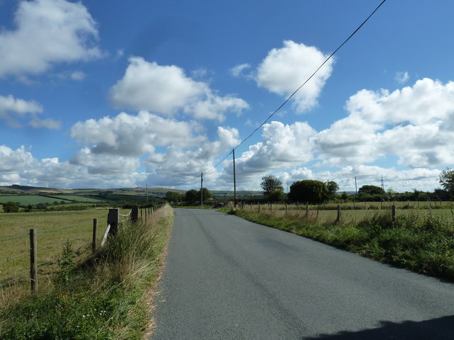
Moor Coppice is located at Grid Ref: SY6483 (Lat: 50.650361, Lng: -2.5101067)
Unitary Authority: Dorset
Police Authority: Dorset
What 3 Words
///pirates.rushed.though. Near Chickerell, Dorset
Nearby Locations
Related Wikis

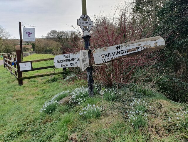
Buckland Ripers
Buckland Ripers is a hamlet in Dorset, England, situated four miles north west of Weymouth. == External links == Dorset OPC Buckland Ripers Parish page...

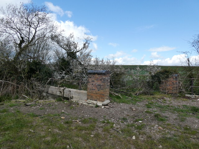
Coryates Halt railway station
Coryates Halt was a small railway station on the Abbotsbury branch railway in the west of the English county of Dorset. It consisted of a single platform...

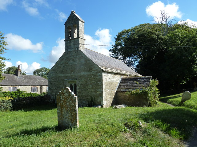
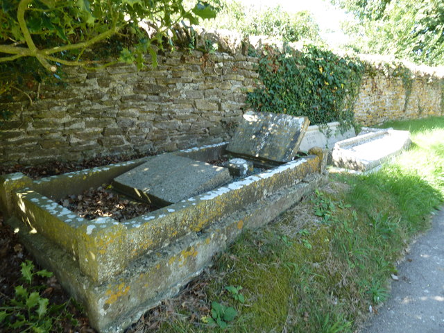
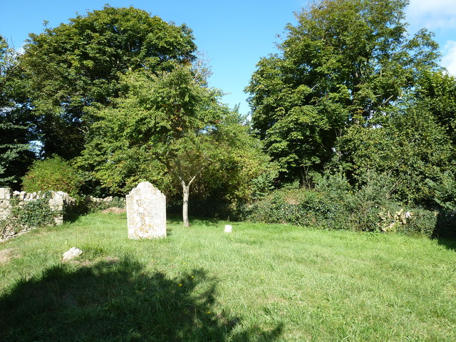
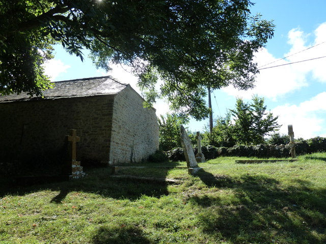
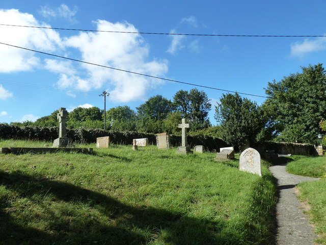
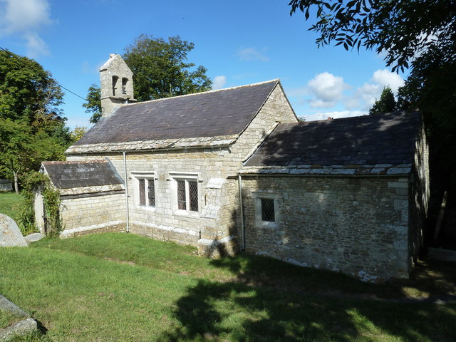
St Bartholomew's Chapel, Corton
St Bartholomew's Chapel is a Church of England chapel in Corton, near Weymouth, Dorset, England. The chapel has early 13th century origins, with later...

Corton Cutting
Corton Cutting (grid reference SY637855) is a 0.24 hectare geological Site of Special Scientific Interest in Dorset, England, notified in 1997. The site...
Nearby Amenities
Located within 500m of 50.650361,-2.5101067Have you been to Moor Coppice?
Leave your review of Moor Coppice below (or comments, questions and feedback).