Clapper's Coppice
Wood, Forest in Dorset
England
Clapper's Coppice
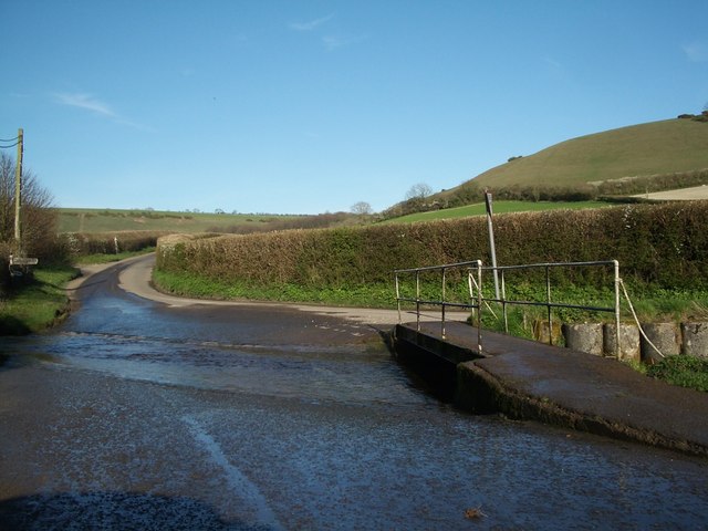
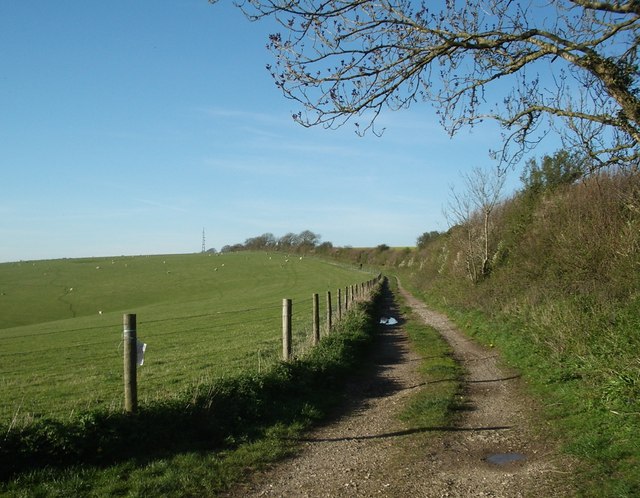
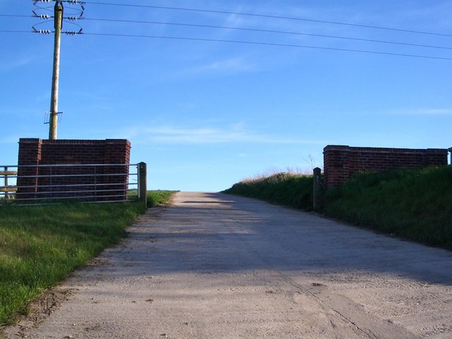
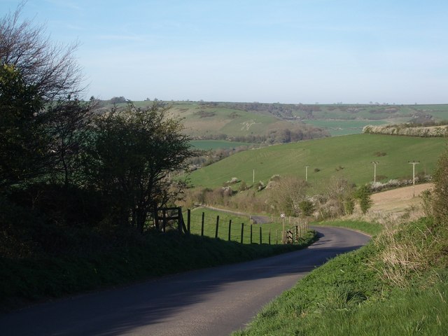
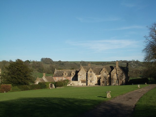
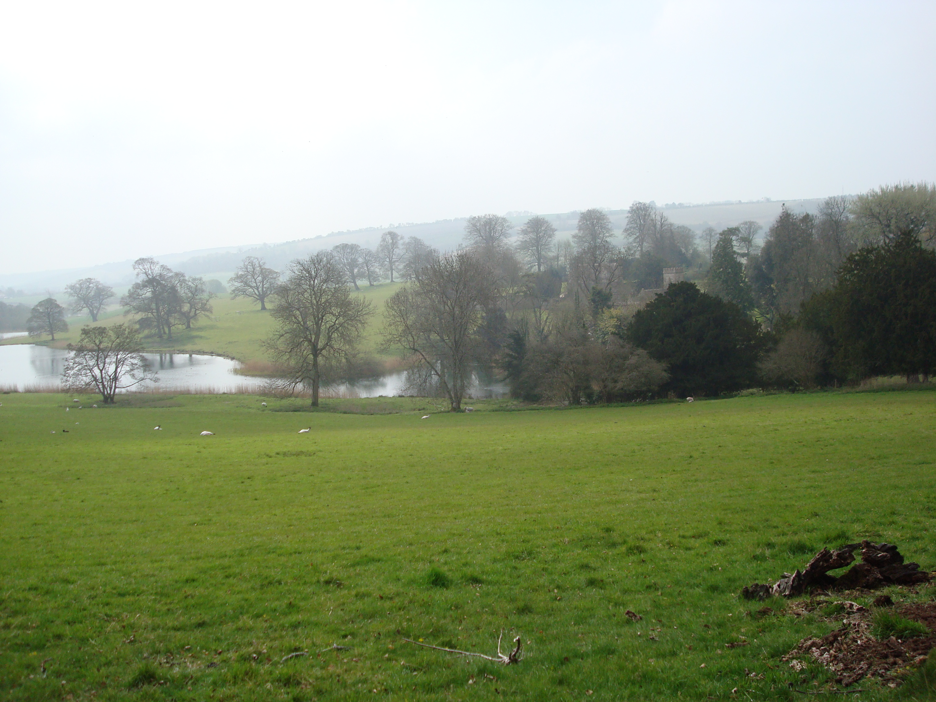
Clapper's Coppice is a lush woodland located in the county of Dorset, England. Situated near the village of Clapper's Green, this forest covers an area of approximately 100 acres, making it a notable natural attraction in the region.
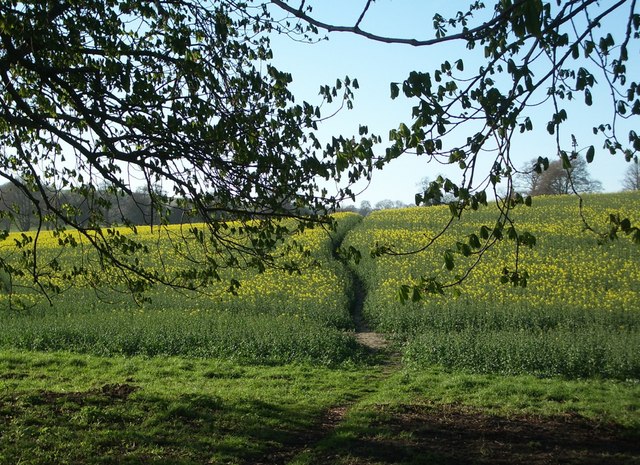
The coppice is primarily composed of native broadleaf trees, including oak, beech, ash, and hazel. These trees form a dense canopy that provides shelter and habitat for a diverse range of wildlife. The forest floor is adorned with a rich carpet of ferns, mosses, and wildflowers, adding to the area's natural beauty.
As one explores the woodland, they will come across a network of footpaths and trails that meander through the trees, inviting visitors to immerse themselves in the peaceful surroundings. The paths are well-maintained, allowing for easy access and providing opportunities for nature walks, jogging, or simply enjoying a serene stroll.
Clapper's Coppice is renowned for its biodiversity, attracting birdwatchers and nature enthusiasts from far and wide. The forest is home to numerous bird species, including woodpeckers, owls, and various songbirds. It is also a haven for mammals such as deer, squirrels, and badgers, which can often be spotted by the observant visitor.
This woodland gem offers a tranquil escape from the hustle and bustle of everyday life, providing a perfect setting for picnics, photography, or nature-inspired art. With its serene ambiance and abundance of flora and fauna, Clapper's Coppice is a cherished natural treasure in Dorset, inviting visitors to connect with the beauty and tranquility of the natural world.
If you have any feedback on the listing, please let us know in the comments section below.
Clapper's Coppice Images
Images are sourced within 2km of 50.81346/-2.508433 or Grid Reference ST6401. Thanks to Geograph Open Source API. All images are credited.


Clapper's Coppice is located at Grid Ref: ST6401 (Lat: 50.81346, Lng: -2.508433)
Unitary Authority: Dorset
Police Authority: Dorset
What 3 Words
///points.talked.joints. Near Maiden Newton, Dorset
Nearby Locations
Related Wikis

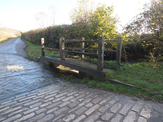
Sydling Water
The Sydling Water is an 8 km (5 mi) long river in Dorset, England, which flows from north to south from Up Sydling until it joins the River Frome near...
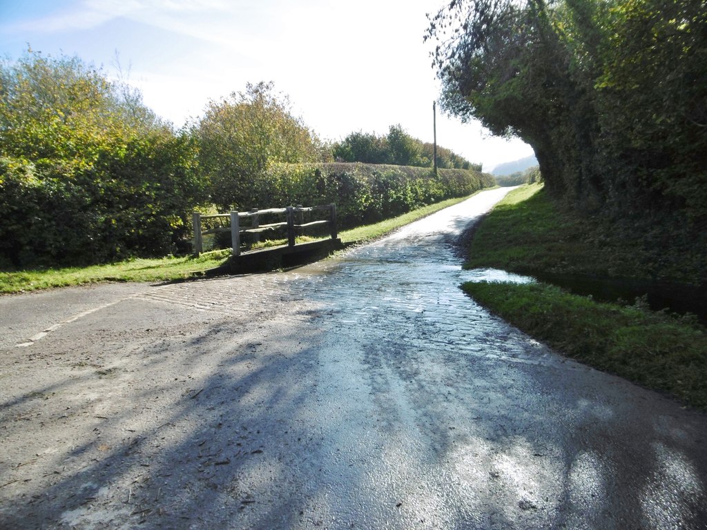
Up Sydling
Up Sydling is a hamlet in west Dorset, England. It is situated at the head of Sydling Water, a tributary of the River Frome, ten miles north of Dorchester...
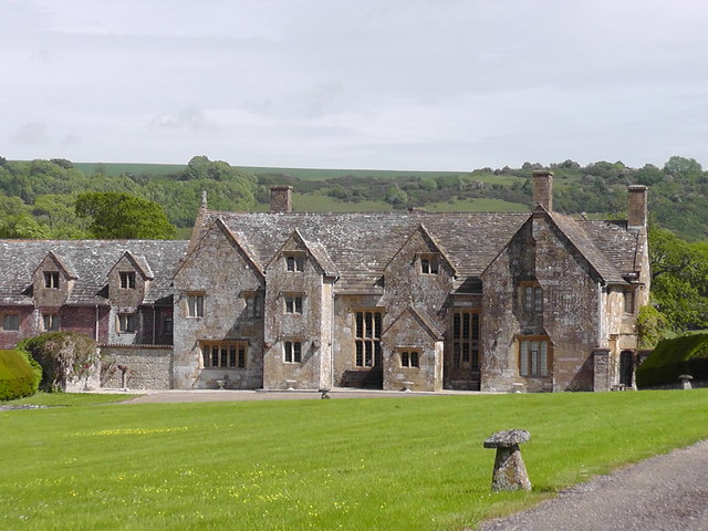
Up Cerne
Up Cerne is a hamlet lying to the west of the River Cerne between Minterne Magna and Cerne Abbas in Dorset, England. It was the birthplace of John Mount...

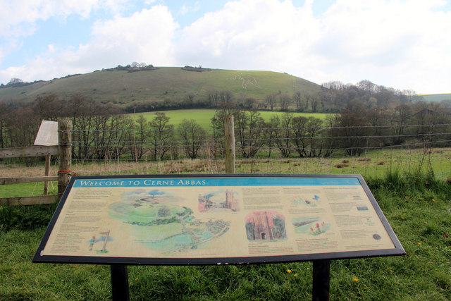
Cerne Abbas
Cerne Abbas () is a village and civil parish in the county of Dorset in southern England. It lies in the Dorset Council administrative area in the Cerne...
Nearby Amenities
Located within 500m of 50.81346,-2.508433Have you been to Clapper's Coppice?
Leave your review of Clapper's Coppice below (or comments, questions and feedback).