Redding Coppice

Wood, Forest in Herefordshire

England

Redding Coppice

St Andrew's Church, Pixley Much of the church building is thought to date from the thirteenth century. It is built of local red sandstone on a mound which until fairly recently was surrounded by a moat. The church was extensively restored in 1865. Additional repairs were carried out in the 1980s and again in 2005 when the roof and Victorian turret were renovated.
St Andrew's Church, Pixley Credit: Eirian Evans

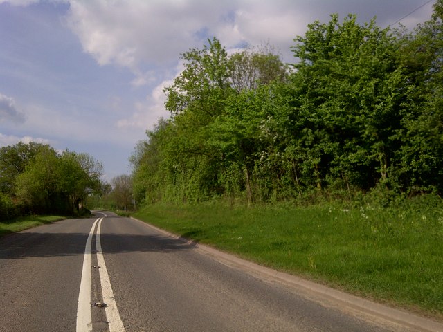
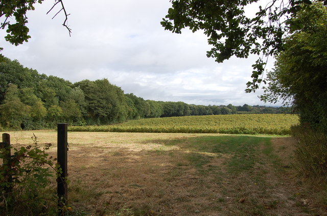
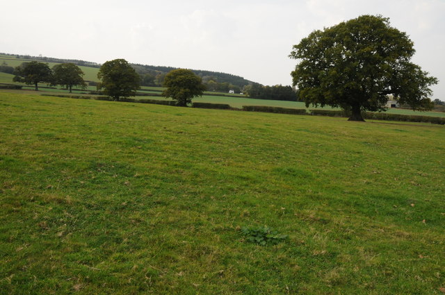
Redding Coppice is a picturesque woodland located in the county of Herefordshire, England. Covering an area of approximately 50 hectares, it is nestled within the stunning Herefordshire countryside, offering visitors a tranquil and serene environment to explore.

The coppice is characterized by a diverse range of tree species, including oak, ash, beech, and birch. These towering trees create a dense canopy, providing shelter for a variety of wildlife, such as deer, foxes, and numerous bird species. The forest floor is adorned with a carpet of wildflowers and ferns, adding to the area's natural beauty.

Visitors to Redding Coppice can enjoy a network of well-maintained walking trails that wind their way through the woodland. These trails offer an opportunity to immerse oneself in the sights and sounds of nature, with the gentle rustling of leaves and the occasional bird song creating a peaceful ambiance.

The coppice also holds historical significance, as it was traditionally managed for the practice of coppicing, a method of wood production dating back centuries. This sustainable forestry practice involves periodically cutting back certain trees to encourage new growth, providing a renewable source of timber.

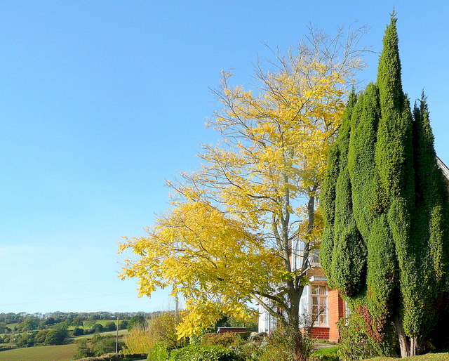
For nature enthusiasts, Redding Coppice is a haven where one can reconnect with the natural world. Whether it be observing the changing colors of the leaves in autumn, spotting woodland creatures, or simply enjoying a leisurely stroll, this woodland gem offers a truly enchanting experience for visitors of all ages.

If you have any feedback on the listing, please let us know in the comments section below.

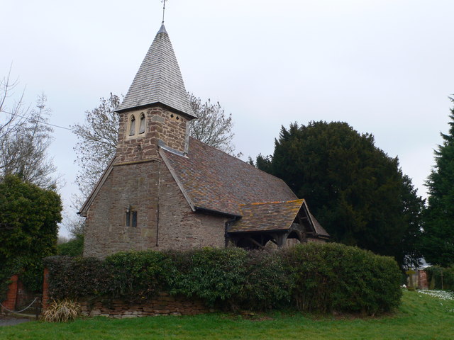
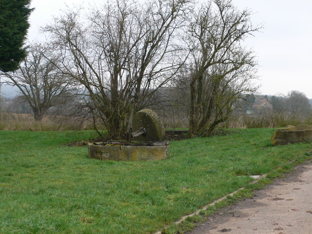
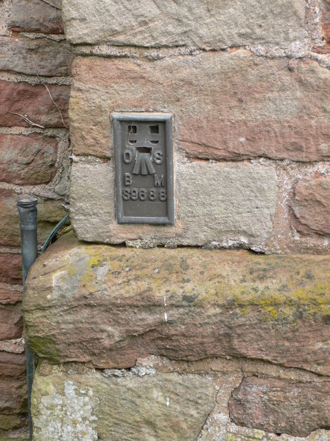
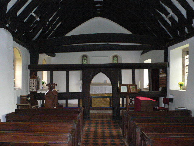
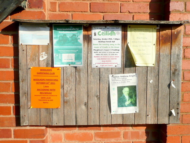
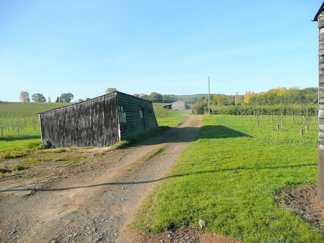
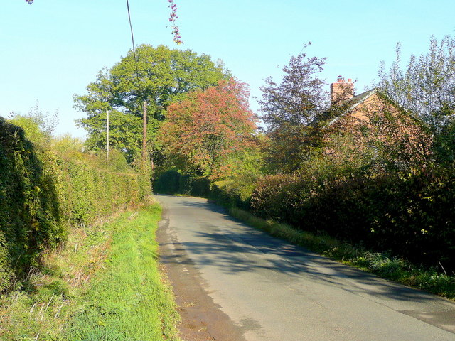
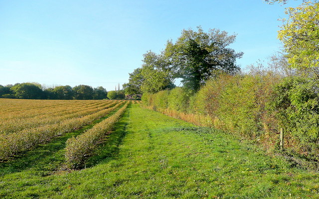
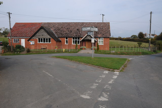
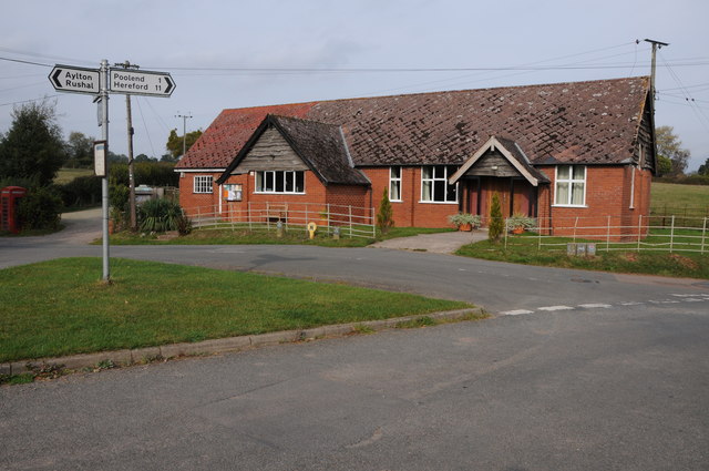
Redding Coppice Images

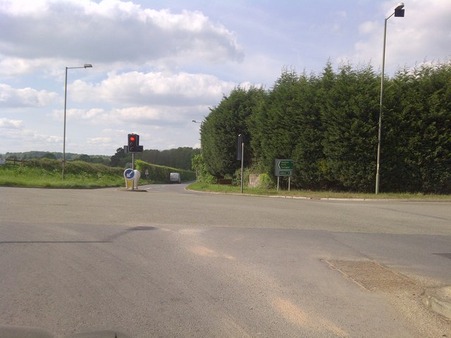
Images are sourced within 2km of 52.047588/-2.5215967 or Grid Reference SO6438. Thanks to Geograph Open Source API. All images are credited.

St Andrew's Church, Pixley Much of the church building is thought to date from the thirteenth century. It is built of local red sandstone on a mound which until fairly recently was surrounded by a moat. The church was extensively restored in 1865. Additional repairs were carried out in the 1980s and again in 2005 when the roof and Victorian turret were renovated.
St Andrew's Church, Pixley
Much of the church building is thought to date from the thirteenth century. It is built of local red sandstone on a mound which until fairly recently was surrounded by a moat. The church was extensively restored in 1865. Additional repairs were carried out in the 1980s and again in 2005 when the roof and Victorian turret were renovated.
Relics of a cider mill An old millstone from the cider mill which used to be at Pixley Court Farm.
Relics of a cider mill
An old millstone from the cider mill which used to be at Pixley Court Farm.
Benchmark on Pixley Church Flush bracket S9688 on the western face of St Andrew's Church.
Benchmark on Pixley Church
Flush bracket S9688 on the western face of St Andrew's Church.
Inside St Andrew's Church, Pixley The little white-washed nave is divided from the white-washed chancel by a screen, its entrance arch (only six feet high) made of naturally curved timbers from some great tree. The screen has three bays and the cross-beam has a patch of neat carving; So have the roof beams which match these venerable timbers. There are no iron nails in the screen, which is fastened together with pegs.
Inside St Andrew's Church, Pixley
The little white-washed nave is divided from the white-washed chancel by a screen, its entrance arch (only six feet high) made of naturally curved timbers from some great tree. The screen has three bays and the cross-beam has a patch of neat carving; So have the roof beams which match these venerable timbers. There are no iron nails in the screen, which is fastened together with pegs.
A4172 at Pixley
A4172 at Pixley
Trumpet Crossroads
Trumpet Crossroads
Land near Birchall
Land near Birchall
Cottage at Putley Common Compare with <a href="https://www.geograph.org.uk/photo/55999">SO6338 : Cottage at Putley Common</a>
Cottage at Putley Common
Autumn colour A laburnum and conifer by The Fosbury against a clear October sky.
Autumn colour
A laburnum and conifer by The Fosbury against a clear October sky.
That should read Pool End Someone has had fun scraping the 'L' off this country sign.
That should read Pool End
Someone has had fun scraping the 'L' off this country sign.
Village notice board On the wall of Putley Green village hall.
Village notice board
On the wall of Putley Green village hall.
Fruit growing at Birchall The predominant crop here is cider apples.
Fruit growing at Birchall
The predominant crop here is cider apples.
Lane at Birchall Looking north towards Poolend.
Lane at Birchall
Looking north towards Poolend.
Fruit crop by Birchall Lane The rows are of blackcurrants, probably for processing.
Fruit crop by Birchall Lane
The rows are of blackcurrants, probably for processing.
Cottage at Durlow Common Cottage at Durlow Common viewed from a footpath from Putley.
Cottage at Durlow Common
Cottage at Durlow Common viewed from a footpath from Putley.
Farmland near Alder's End Farmland near Alder's End above the village of Tarrington.
Farmland near Alder's End
Farmland near Alder's End above the village of Tarrington.
Putley Village Hall Putley Village Hall at Putley Green, when I last passed through here this was also a Post Office though it now appears to have closed.
Putley Village Hall
Putley Village Hall at Putley Green, when I last passed through here this was also a Post Office though it now appears to have closed.
Show me another place!

Redding Coppice is located at Grid Ref: SO6438 (Lat: 52.047588, Lng: -2.5215967)

Unitary Authority: County of Herefordshire

Police Authority: West Mercia

What 3 Words

///couches.rescuer.resurgent. Near Ledbury, Herefordshire

Related Wikis

Trumpet, Herefordshire

Trumpet or The Trumpet is a village in Herefordshire, England. The village is named after the timber-framed Trumpet Inn. The inn is located at a major...

Ashperton railway station

Ashperton railway station was a railway station serving the village of Ashperton in Herefordshire, England. It was located on what is now known as the...

Putley

Putley is a village and civil parish 8 miles (13 km) east of Hereford, in the county of Herefordshire, England. In 2011 the parish had a population of...

Pixley, Herefordshire

Pixley is a village and civil parish in Herefordshire, England. The population of the civil parish at the 2011 census was 258. The village consists of...

Aylton

Aylton is a village in eastern Herefordshire, England. It is 5.5 km (3.4 mi) west of Ledbury. The population of this parish at the 2011 Census was 144...

Alder's End

Alder's End is a small village in Herefordshire, England. It is about 8 miles (13 km) east of Hereford and is near the A438 road. The village falls within...

Ashperton

Ashperton is a small village, parish and former manor about twelve miles east of the City of Hereford, in Herefordshire, England. The village is on the...

Munsley

Munsley is a village and civil parish 9 miles (14 km) east of Hereford, in the county of Herefordshire, England. In 2001 the parish had a population of...

Nearby Amenities

Located within 500m of 52.047588,-2.5215967
Generator Method: photovoltaic
Generator Output Electricity: yes
Generator Source: solar
Generator Type: solar_photovoltaic_panel
Location: roof
Power: generator
Lat/Long: 52.0501961/-2.5252864
Generator Method: photovoltaic
Generator Output Electricity: yes
Generator Source: solar
Generator Type: solar_photovoltaic_panel
Location: roof
Power: generator
Lat/Long: 52.0503462/-2.5259596
Power: pole
Lat/Long: 52.0494778/-2.5183207
Power: pole
Lat/Long: 52.0495173/-2.516997
Power: pole
Lat/Long: 52.0503685/-2.5160958
Power: pole
Lat/Long: 52.0498448/-2.517406
Power: pole
Lat/Long: 52.0490398/-2.516368
Poolend Farm
Power: pole
Transformer: distribution
Voltage Primary: 11000
Lat/Long: 52.0485515/-2.5154997
Power: pole
Lat/Long: 52.0482988/-2.5150209
Power: pole
Lat/Long: 52.0479561/-2.5146065
Tipsgrove Farm
Power: pole
Transformer: distribution
Voltage Primary: 11000
Lat/Long: 52.0511384/-2.5254433
Power: pole
Lat/Long: 52.0507945/-2.5239553
Power: pole
Lat/Long: 52.050566/-2.5230038
Power: pole
Lat/Long: 52.0502918/-2.5218344
Power: pole
Lat/Long: 52.0500217/-2.5206891
Power: pole
Lat/Long: 52.0497466/-2.5195297
The data included in this document is from www.openstreetmap.org. The data is made available under ODbL.

Have you been to Redding Coppice?

Leave your review of Redding Coppice below (or comments, questions and feedback).