Brainge

Heritage Site in Herefordshire

England

Brainge

St Andrew's Church, Pixley Much of the church building is thought to date from the thirteenth century. It is built of local red sandstone on a mound which until fairly recently was surrounded by a moat. The church was extensively restored in 1865. Additional repairs were carried out in the 1980s and again in 2005 when the roof and Victorian turret were renovated.
St Andrew's Church, Pixley Credit: Eirian Evans

Brainge is a small village located in the county of Herefordshire, England. Situated in the picturesque countryside, it is renowned for its historical significance and charming heritage. With a population of around 500 residents, the village offers a peaceful and tranquil setting for visitors seeking a retreat from the hustle and bustle of city life.

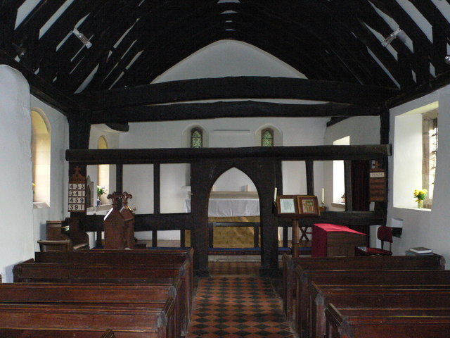
The origins of Brainge can be traced back to the medieval period, as evidenced by the presence of several well-preserved timber-framed buildings from that era. These architectural gems provide a glimpse into the village's rich past and offer a unique opportunity for history enthusiasts to explore and appreciate the traditional craftsmanship of the time.

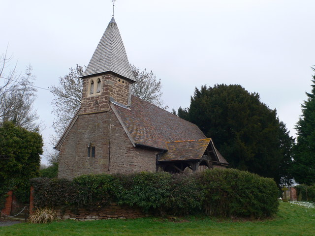
One of the standout attractions in Brainge is the St. Mary's Church, a stunning example of Norman architecture. Dating back to the 12th century, the church boasts intricate stone carvings and beautiful stained glass windows, making it a must-visit destination for admirers of religious and historical sites.

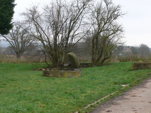
The village also offers ample opportunities for outdoor activities, with its surrounding countryside providing numerous walking and cycling trails. Visitors can take leisurely strolls through the meandering lanes, enjoying the scenic beauty of the rolling hills and lush greenery that characterize the area.

In terms of amenities, Brainge boasts a cozy village pub where visitors can savor traditional English cuisine and sample locally brewed ales. The warm and welcoming atmosphere ensures a delightful experience for both locals and tourists alike.

Overall, Brainge, Herefordshire, is a hidden gem that offers a blend of natural beauty, historical significance, and traditional charm. It is a perfect destination for those seeking a peaceful retreat and an opportunity to immerse themselves in the rich heritage of the English countryside.

If you have any feedback on the listing, please let us know in the comments section below.
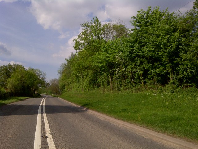
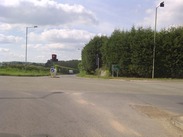
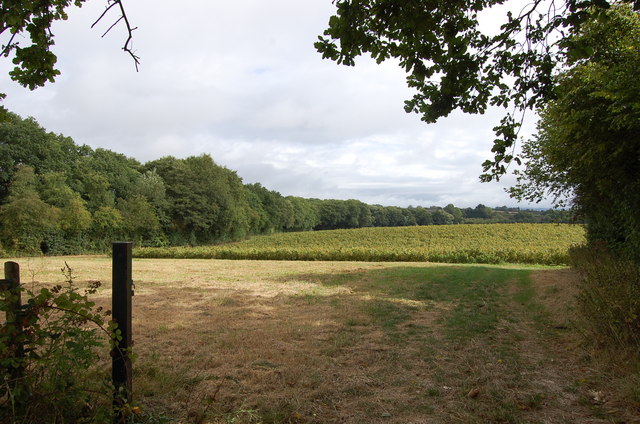
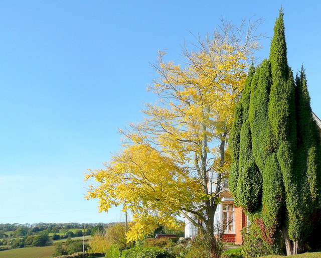
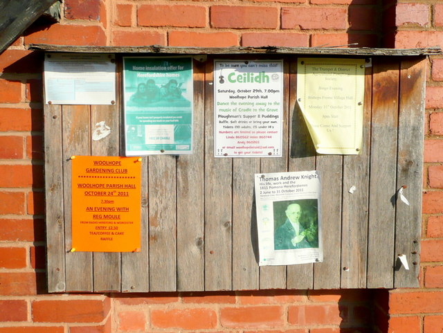
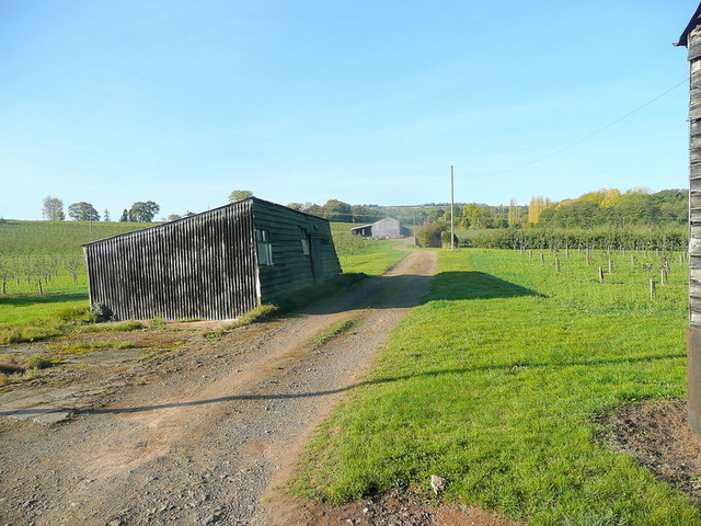
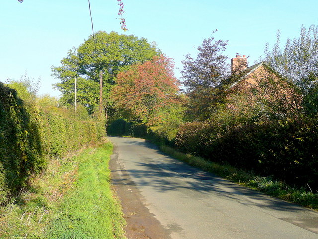
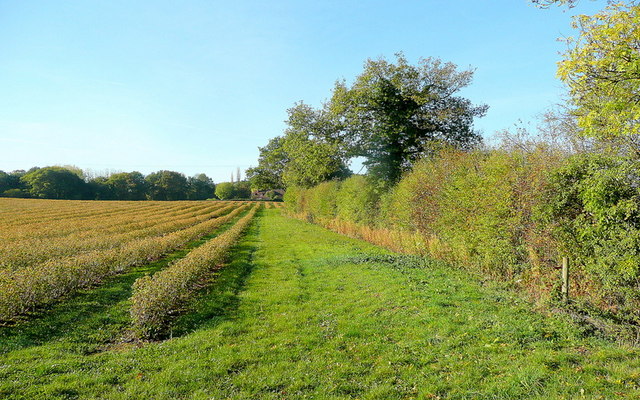
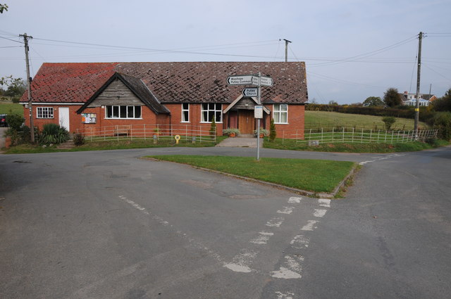
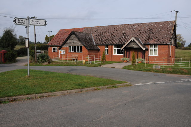
Brainge Images

Images are sourced within 2km of 52.043/-2.517 or Grid Reference SO6438. Thanks to Geograph Open Source API. All images are credited.

St Andrew's Church, Pixley Much of the church building is thought to date from the thirteenth century. It is built of local red sandstone on a mound which until fairly recently was surrounded by a moat. The church was extensively restored in 1865. Additional repairs were carried out in the 1980s and again in 2005 when the roof and Victorian turret were renovated.
St Andrew's Church, Pixley
Much of the church building is thought to date from the thirteenth century. It is built of local red sandstone on a mound which until fairly recently was surrounded by a moat. The church was extensively restored in 1865. Additional repairs were carried out in the 1980s and again in 2005 when the roof and Victorian turret were renovated.
Relics of a cider mill An old millstone from the cider mill which used to be at Pixley Court Farm.
Relics of a cider mill
An old millstone from the cider mill which used to be at Pixley Court Farm.
Benchmark on Pixley Church Flush bracket S9688 on the western face of St Andrew's Church.
Benchmark on Pixley Church
Flush bracket S9688 on the western face of St Andrew's Church.
Inside St Andrew's Church, Pixley The little white-washed nave is divided from the white-washed chancel by a screen, its entrance arch (only six feet high) made of naturally curved timbers from some great tree. The screen has three bays and the cross-beam has a patch of neat carving; So have the roof beams which match these venerable timbers. There are no iron nails in the screen, which is fastened together with pegs.
Inside St Andrew's Church, Pixley
The little white-washed nave is divided from the white-washed chancel by a screen, its entrance arch (only six feet high) made of naturally curved timbers from some great tree. The screen has three bays and the cross-beam has a patch of neat carving; So have the roof beams which match these venerable timbers. There are no iron nails in the screen, which is fastened together with pegs.
A4172 at Pixley
A4172 at Pixley
Trumpet Crossroads
Trumpet Crossroads
Land near Birchall
Land near Birchall
Oast cowl at the White House A typical Herefordshire pointed cowl
Oast cowl at the White House
A typical Herefordshire pointed cowl
Cottage at Putley Common Compare with <a href="https://www.geograph.org.uk/photo/55999">SO6338 : Cottage at Putley Common</a>
Cottage at Putley Common
Autumn colour A laburnum and conifer by The Fosbury against a clear October sky.
Autumn colour
A laburnum and conifer by The Fosbury against a clear October sky.
That should read Pool End Someone has had fun scraping the 'L' off this country sign.
That should read Pool End
Someone has had fun scraping the 'L' off this country sign.
Village notice board On the wall of Putley Green village hall.
Village notice board
On the wall of Putley Green village hall.
Fruit growing at Birchall The predominant crop here is cider apples.
Fruit growing at Birchall
The predominant crop here is cider apples.
Lane at Birchall Looking north towards Poolend.
Lane at Birchall
Looking north towards Poolend.
Fruit crop by Birchall Lane The rows are of blackcurrants, probably for processing.
Fruit crop by Birchall Lane
The rows are of blackcurrants, probably for processing.
Cottage at Durlow Common Cottage at Durlow Common viewed from a footpath from Putley.
Cottage at Durlow Common
Cottage at Durlow Common viewed from a footpath from Putley.
Putley Village Hall Putley Village Hall at Putley Green, when I last passed through here this was also a Post Office though it now appears to have closed.
Putley Village Hall
Putley Village Hall at Putley Green, when I last passed through here this was also a Post Office though it now appears to have closed.
Show me another place!

Brainge is located at Grid Ref: SO6438 (Lat: 52.043, Lng: -2.517)

Unitary Authority: County of Herefordshire

Police Authority: West Mercia

What 3 Words

///agrees.quitter.scared. Near Ledbury, Herefordshire

Related Wikis

Putley

Putley is a village and civil parish 8 miles (13 km) east of Hereford, in the county of Herefordshire, England. In 2011 the parish had a population of...

Pixley, Herefordshire

Pixley is a village and civil parish in Herefordshire, England. The population of the civil parish at the 2011 census was 258. The village consists of...

Trumpet, Herefordshire

Trumpet or The Trumpet is a village in Herefordshire, England. The village is named after the timber-framed Trumpet Inn. The inn is located at a major...

Aylton

Aylton is a village in eastern Herefordshire, England. It is 5.5 km (3.4 mi) west of Ledbury. The population of this parish at the 2011 Census was 144...

Ashperton railway station

Ashperton railway station was a railway station serving the village of Ashperton in Herefordshire, England. It was located on what is now known as the...

Alder's End

Alder's End is a small village in Herefordshire, England. It is about 8 miles (13 km) east of Hereford and is near the A438 road. The village falls within...

Munsley

Munsley is a village and civil parish 9 miles (14 km) east of Hereford, in the county of Herefordshire, England. In 2001 the parish had a population of...

Little Marcle

Little Marcle is a village and civil parish 10 miles (16 km) east of Hereford, in the county of Herefordshire, England. In 2011 the parish had a population...

Nearby Amenities

Located within 500m of 52.043,-2.517
Barrier: stile
Lat/Long: 52.042131/-2.5167422
Generator Method: photovoltaic
Generator Output Electricity: yes
Generator Source: solar
Generator Type: solar_photovoltaic_panel
Location: roof
Power: generator
Lat/Long: 52.0420139/-2.5138119
Generator Method: photovoltaic
Generator Output Electricity: yes
Generator Source: solar
Generator Type: solar_photovoltaic_panel
Location: roof
Power: generator
Lat/Long: 52.0437594/-2.5118297
The Twerne
Power: pole
Transformer: distribution
Voltage Primary: 11000
Lat/Long: 52.0419455/-2.5205027
Power: pole
Lat/Long: 52.0425262/-2.5198147
Power: pole
Lat/Long: 52.0426994/-2.5188987
Power: pole
Lat/Long: 52.0428594/-2.518023
Power: pole
Lat/Long: 52.0429889/-2.517276
Power: pole
Lat/Long: 52.0431251/-2.5164217
Power: pole
Lat/Long: 52.0431349/-2.5155365
The Brainge
Power: pole
Transformer: distribution
Voltage Primary: 11000
Lat/Long: 52.0420445/-2.5148056
Power: pole
Lat/Long: 52.0425984/-2.5148231
Power: pole
Lat/Long: 52.0431382/-2.5148338
Power: pole
Lat/Long: 52.0431514/-2.513714
Power: pole
Lat/Long: 52.0466017/-2.512629
Power: pole
Lat/Long: 52.0460565/-2.5116782
Copes Pool
Power: pole
Transformer: distribution
Voltage Primary: 11000
Lat/Long: 52.0454833/-2.5111498
Power: pole
Lat/Long: 52.0455563/-2.5115508
Power: pole
Lat/Long: 52.0459617/-2.5117647
Power: pole
Lat/Long: 52.0451369/-2.5125754
Power: pole
Lat/Long: 52.0444687/-2.5125606
The Sladd Fruit Farm
Power: pole
Transformer: distribution
Voltage Primary: 11000
Lat/Long: 52.0437998/-2.5125848
Power: pole
Lat/Long: 52.0432628/-2.5101279
The Sladd
Power: pole
Transformer: distribution
Voltage Primary: 11000
Lat/Long: 52.0422754/-2.510899
Power: pole
Lat/Long: 52.0427357/-2.5109044
Power: pole
Lat/Long: 52.0432422/-2.5109211
Power: pole
Lat/Long: 52.043203/-2.5116936
Power: pole
Lat/Long: 52.0431861/-2.5125821
Power: pole
Lat/Long: 52.0424049/-2.5125486
Power: pole
Lat/Long: 52.0417042/-2.5125124
Power: pole
Lat/Long: 52.0409677/-2.5122545
Power: pole
Lat/Long: 52.0401593/-2.5119716
The data included in this document is from www.openstreetmap.org. The data is made available under ODbL.

Have you been to Brainge?

Leave your review of Brainge below (or comments, questions and feedback).