Braikie Castle

Heritage Site in Angus

Scotland

Braikie Castle

Former Kinnell Parish Church In a charter dated 2 June 1509, Master Geo. Sterling of Esterbrekky and Patrick Sterling, his brother-german, with the consent of Lord Ogilvie of Airlie, and of David Sterling, give to St Mary the Virgin, to St Peter and Paul the Apostles and to St Malrubius the Confessor, and to a chaplain serving in the Parish Church of Kynnell at the altar of the blessed Virgin, an annual rent of L.10 from the lands of Esterbrekky.   Charter confirmed by James IV 12 March 1512-13.

Wm Reeves, Saint Maelrubha: His History and Churches
Former Kinnell Parish Church Credit: Alpin Stewart

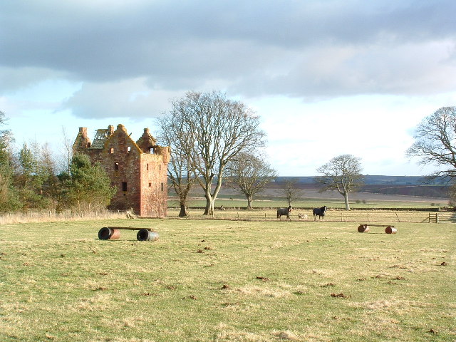
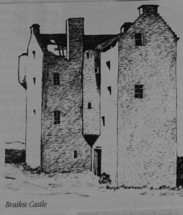
Braikie Castle, located in Angus, Scotland, is a historic heritage site that dates back to the 16th century. This magnificent castle sits on a prominent hilltop overlooking the picturesque countryside. It is a fine example of Scottish Renaissance architecture, showcasing its grandeur and rich history.

The castle was originally built as a fortified tower house by the Ogilvy family, who were prominent in the area. Over the centuries, it underwent several modifications and expansions, reflecting the changing needs and tastes of its various owners.

One of the most notable features of Braikie Castle is its distinctive crowstepped gables, a characteristic architectural style of Scottish castles. The exterior walls are made of local stone, giving it a rugged and sturdy appearance.

Inside, the castle boasts a range of rooms, each with its own unique charm and historical significance. Visitors can explore the Great Hall, adorned with intricate woodwork and ornate ceilings, or the elegant drawing room, which offers breathtaking views of the surrounding landscape.

The castle's grounds are equally captivating, with beautifully manicured gardens and a tranquil loch nearby. There are also remnants of a once-thriving estate, including a stable block and a walled garden, which provide a glimpse into the castle's past as a self-sustaining community.

Today, Braikie Castle is open to the public, allowing visitors to immerse themselves in its rich history and architectural splendor. It serves as a testament to the enduring legacy of Scotland's medieval past and offers a captivating experience for all who visit.

If you have any feedback on the listing, please let us know in the comments section below.

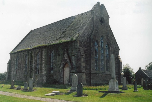
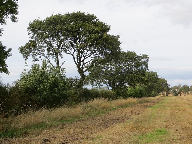
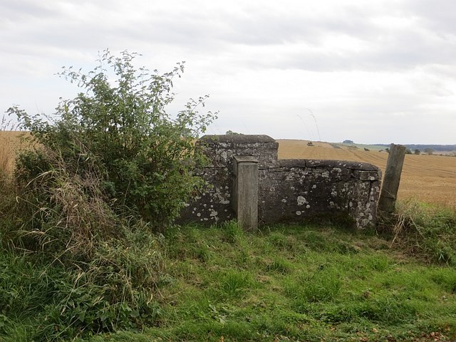
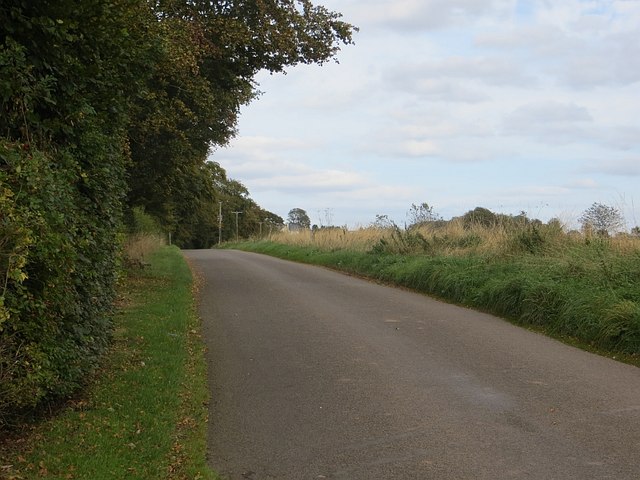
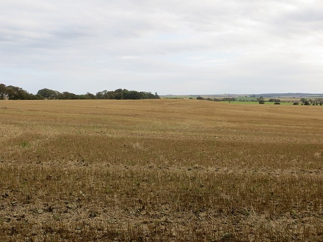
Braikie Castle Images

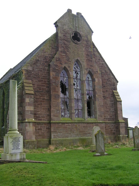
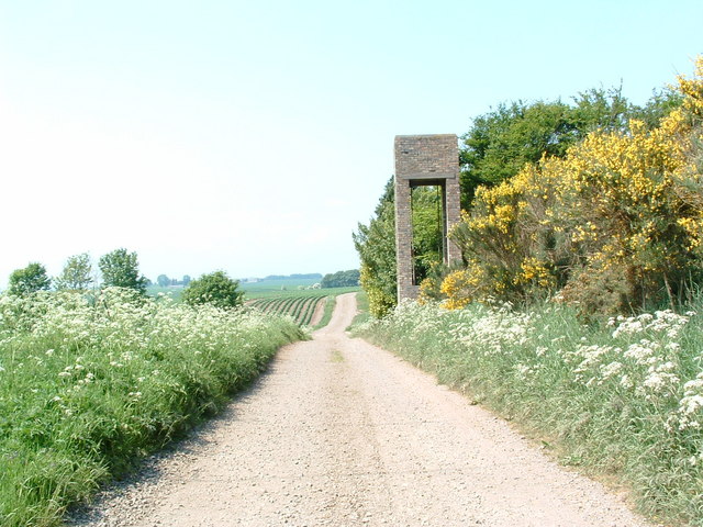
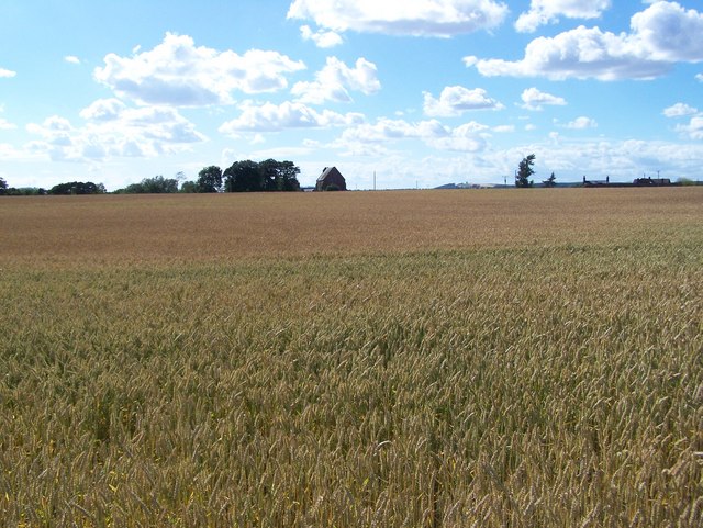
Images are sourced within 2km of 56.645/-2.612 or Grid Reference NO6250. Thanks to Geograph Open Source API. All images are credited.

Former Kinnell Parish Church In a charter dated 2 June 1509, Master Geo. Sterling of Esterbrekky and Patrick Sterling, his brother-german, with the consent of Lord Ogilvie of Airlie, and of David Sterling, give to St Mary the Virgin, to St Peter and Paul the Apostles and to St Malrubius the Confessor, and to a chaplain serving in the Parish Church of Kynnell at the altar of the blessed Virgin, an annual rent of L.10 from the lands of Esterbrekky.   Charter confirmed by James IV 12 March 1512-13.

Wm Reeves, Saint Maelrubha: His History and Churches
Former Kinnell Parish Church
In a charter dated 2 June 1509, Master Geo. Sterling of Esterbrekky and Patrick Sterling, his brother-german, with the consent of Lord Ogilvie of Airlie, and of David Sterling, give to St Mary the Virgin, to St Peter and Paul the Apostles and to St Malrubius the Confessor, and to a chaplain serving in the Parish Church of Kynnell at the altar of the blessed Virgin, an annual rent of L.10 from the lands of Esterbrekky. Charter confirmed by James IV 12 March 1512-13. Wm Reeves, Saint Maelrubha: His History and Churches
Bolshan, Angus A chapel, dedicated to St Malruib (Maelrubha: d. 722), stood at Bolshan, but its site and that of the surrounding graveyard were ploughed before 1767. In c. 1834 foundations and human remains were found in draining a field in the vicinity of the farmhouse.
Bolshan, Angus
A chapel, dedicated to St Malruib (Maelrubha: d. 722), stood at Bolshan, but its site and that of the surrounding graveyard were ploughed before 1767. In c. 1834 foundations and human remains were found in draining a field in the vicinity of the farmhouse.
Road, Gightyburn A road climbs away from Gightyburn.
Road, Gightyburn
A road climbs away from Gightyburn.
Kinnell It's a long downhill straight.
Kinnell
It's a long downhill straight.
Hedge by Kinnell Ploughing had just started on the other side.
Hedge by Kinnell
Ploughing had just started on the other side.
Pump, Mainsbank Opposite the cottage by Mainsbank.
Pump, Mainsbank
Opposite the cottage by Mainsbank.
Road, Mainsbank A road climbs Wuddy Law past Mainsbank.
Road, Mainsbank
A road climbs Wuddy Law past Mainsbank.
Stubble, Easter Braikie Hilltop arable.
Stubble, Easter Braikie
Hilltop arable.
Poole The top of a long gentle climb from Kinnell.
Poole
The top of a long gentle climb from Kinnell.
Oilseed rape, Wuddy Law The 2015 crop will sit quietly through the winter before rapid growth in the Spring.
Oilseed rape, Wuddy Law
The 2015 crop will sit quietly through the winter before rapid growth in the Spring.
New hedge, Wuddy Law A couple of parallel fences either side of a newly planted hedge.
New hedge, Wuddy Law
A couple of parallel fences either side of a newly planted hedge.
Field and Mainsbank Hidden in the Trees
Poole Cottages and Storm Clouds
Wester Braikie This castle stands on an elevated position overlooking a large area of the Angus countryside
Wester Braikie
This castle stands on an elevated position overlooking a large area of the Angus countryside
Kinnell Kirk The rotting remains of Kinnell kirk.
Kinnell Kirk
The rotting remains of Kinnell kirk.
Newbigging An old water tower at Newbigging on Hodgeton Farm. Behind the tower and amongst
the trees is the ruins of a cottage
Newbigging
An old water tower at Newbigging on Hodgeton Farm. Behind the tower and amongst the trees is the ruins of a cottage
More Tree Lined Barley Fields
Barley Fields Looking Towards Kinnell Church This was taken from  the road to Hatton Mill
Barley Fields Looking Towards Kinnell Church
This was taken from the road to Hatton Mill
Show me another place!

Braikie Castle is located at Grid Ref: NO6250 (Lat: 56.645, Lng: -2.612)

What 3 Words

///club.condense.loss. Near Friockheim, Angus

Nearby Locations

Braikie Castle

Related Wikis

Braikie Castle

Braikie Castle is a late 16th century Scottish tower house, midway between Arbroath and Brechin, east of the village of Friockheim in the parish of Kinnell...

Boysack

Boysack is a village in Angus, Scotland, four miles north of Arbroath. == Notable residents == John Carnegie (c. 1679/80 – by May 1750), lawyer, politician...

RAF Kinnell

Royal Air Force Kinnell or more simply RAF Kinnell is a former Royal Air Force satellite station located near to Friockheim, Angus, Scotland. == History... ==

Glasterlaw railway station

Glasterlaw railway station served the area of Glasterlaw, Angus, Scotland from 1848 to 1956 on the Aberdeen Railway. == History == The station opened on...

Nearby Amenities

Located within 500m of 56.645,-2.612
Braikie Castle
Historic: castle
Ruins: yes
Wikidata: Q17576127
Wikimedia Commons: Category:Braikie Castle
Wikipedia: en:Braikie Castle
Lat/Long: 56.6483423/-2.6075358
Gightyburn
Place: isolated_dwelling
Lat/Long: 56.6423166/-2.6135545
Power: pole
Lat/Long: 56.6411229/-2.611413
Power: pole
Lat/Long: 56.641779/-2.6118093
Power: pole
Lat/Long: 56.6418303/-2.6123334
Power: pole
Lat/Long: 56.6419255/-2.6134161
The data included in this document is from www.openstreetmap.org. The data is made available under ODbL.

Have you been to Braikie Castle?

Leave your review of Braikie Castle below (or comments, questions and feedback).