Heckley Wood

Wood, Forest in Somerset Mendip

England

Heckley Wood

George Inn, Gurney Slade Public house on the Aa37
George Inn, Gurney Slade Credit: Eirian Evans

Heckley Wood is a picturesque woodland located in Somerset, England. Covering an area of approximately 500 acres, it is a cherished natural asset for the local community and visitors alike. The wood is situated on the outskirts of the small village of Heckley, nestled amidst the rolling hills and lush green meadows of the Somerset countryside.

The wood is predominantly composed of deciduous trees, including oak, beech, and ash, which create a diverse and vibrant ecosystem. The dense canopy of foliage provides a haven for numerous bird species, such as woodpeckers, owls, and warblers, making it a popular spot for birdwatching enthusiasts.

A well-maintained network of walking trails crisscrosses the wood, offering visitors the opportunity to explore its enchanting beauty. These trails lead through ancient woodland, carpeted with bluebells in the spring and offering breathtaking displays of autumn colors in the fall. Along the way, visitors may stumble upon charming glades, babbling brooks, and hidden ponds, adding to the sense of tranquility and natural splendor.

Heckley Wood is also home to a rich variety of wildlife, including deer, foxes, badgers, and squirrels. The wood provides a vital habitat for these creatures, and conservation efforts are in place to protect and enhance their natural environment.

In addition to its natural beauty, Heckley Wood also holds historical significance. The wood is believed to have been used as a hunting ground by medieval nobility, and remnants of ancient boundary walls and earthworks can still be seen today.

Overall, Heckley Wood is a cherished woodland in Somerset, offering a haven of natural beauty and tranquility, as well as a glimpse into the region's rich history.

If you have any feedback on the listing, please let us know in the comments section below.
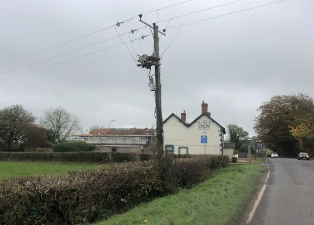
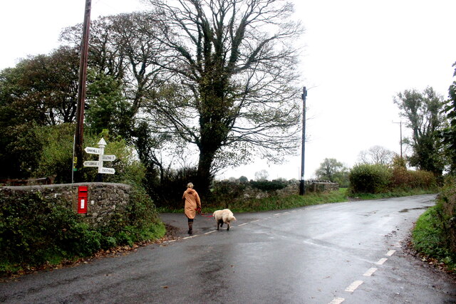
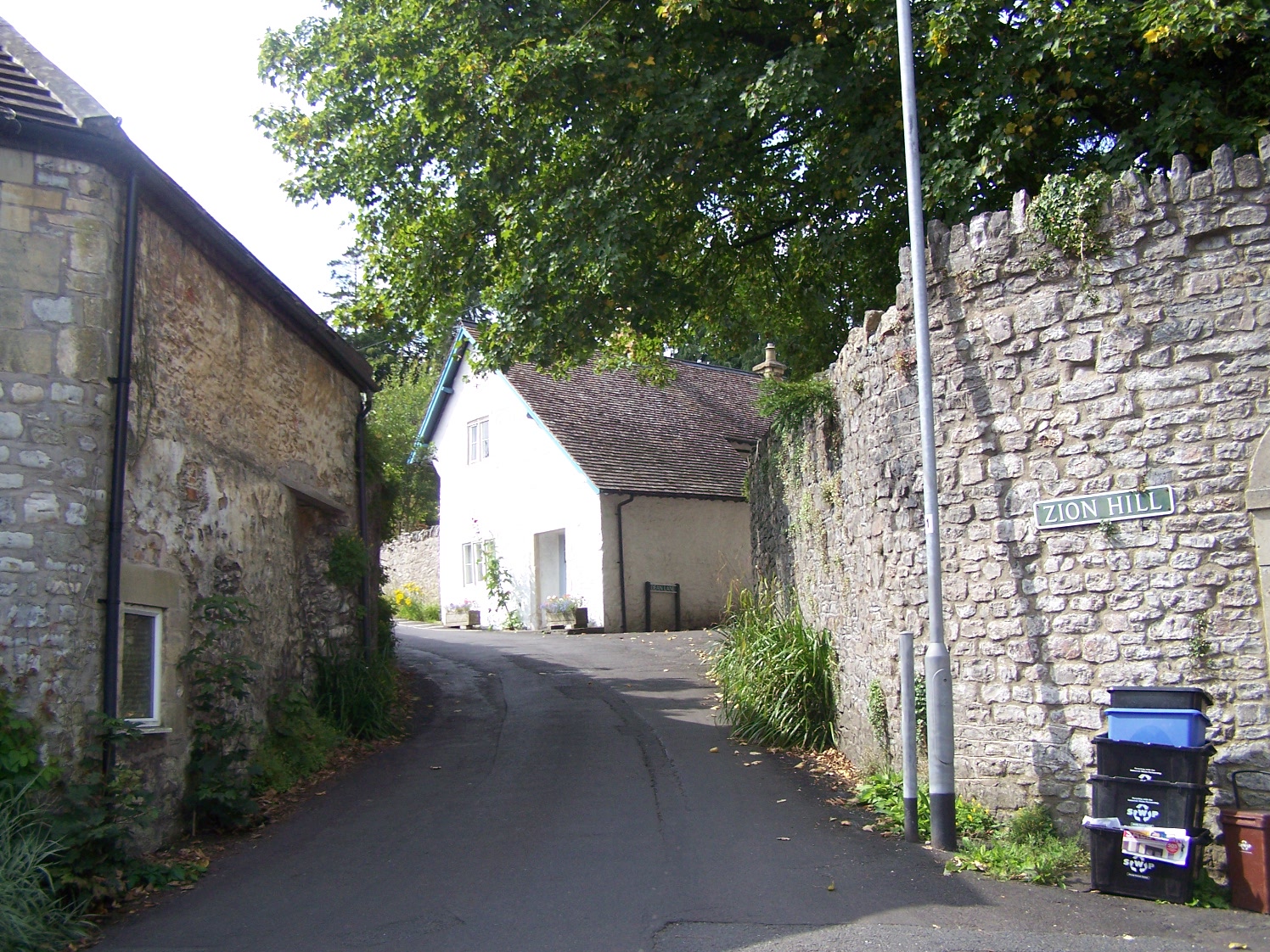
Heckley Wood Images

Images are sourced within 2km of 51.234063/-2.5169816 or Grid Reference ST6448. Thanks to Geograph Open Source API. All images are credited.

George Inn, Gurney Slade Public house on the Aa37
George Inn, Gurney Slade
Public house on the Aa37
The Mendip Inn Public house on the A37
The Mendip Inn
Public house on the A37
Wet Saturday Dog Walking near Withybrook The dog walker passing the box-in-the-wall post box is turning off the Fosse Road into the minor road that runs down to Stoke Bottom. The Fosse Rd carries on to Stoke St Michael. The road she is heading down is signposted to Nettlebridge.
Wet Saturday Dog Walking near Withybrook
The dog walker passing the box-in-the-wall post box is turning off the Fosse Road into the minor road that runs down to Stoke Bottom. The Fosse Rd carries on to Stoke St Michael. The road she is heading down is signposted to Nettlebridge.
Industrial Buildings at Stoke Bottom These buildings are heavily protected with large metal fences and razor wire but have no signage to indicate their use.
Industrial Buildings at Stoke Bottom
These buildings are heavily protected with large metal fences and razor wire but have no signage to indicate their use.
Old Milestone by A367, Fosse Way, outside front of "The George at Nettlebridge" PH The Milestone is located against front wall of inn on the East of the road.  Parish of Stratton On The Fosse (Mendip District). Cast iron post, plated iron casting design, erected by the Shepton Mallet turnpike trust in the 19th century. An earlier photograph can be found here: <a title="https://www.geograph.org.uk/photo/6037563" href="https://www.geograph.org.uk/photo/6037563">Link</a> 

Inscription reads:- 
SHEPTON / MALLET / 4 : : BATH / 13 : : CHELT.M / 50  

Grade II listed. List Entry Number: 1178363 <span class="nowrap"><a title="https://historicengland.org.uk/listing/the-list/list-entry/1178363" rel="nofollow ugc noopener" href="https://historicengland.org.uk/listing/the-list/list-entry/1178363">Link</a><img style="margin-left:2px;" alt="External link" title="External link - shift click to open in new window" src="https://s1.geograph.org.uk/img/external.png" width="10" height="10"/></span> 

Milestone Society National ID: SO_CMSM50
Old Milestone by A367, Fosse Way, outside front of "The George at Nettlebridge" PH
The Milestone is located against front wall of inn on the East of the road.  Parish of Stratton On The Fosse (Mendip District). Cast iron post, plated iron casting design, erected by the Shepton Mallet turnpike trust in the 19th century. An earlier photograph can be found here: Link  Inscription reads:- SHEPTON / MALLET / 4 : : BATH / 13 : : CHELT.M / 50 Grade II listed. List Entry Number: 1178363 LinkExternal link Milestone Society National ID: SO_CMSM50
2011 : Ashwick Court from Blackley Lane Blackley Lane follows the bottom of a small valley from Benter west to Badger's Cross. About half way along we see Ashwick Court at the top of the hill to the south.
2011 : Ashwick Court from Blackley Lane
Blackley Lane follows the bottom of a small valley from Benter west to Badger's Cross. About half way along we see Ashwick Court at the top of the hill to the south.
2011 : Crossroads with tractor at Badger's Cross A tractor with trailer waits to emerge carefully onto the minor road between Gurney Slade and Oakhill.
The signpost indicates Moorwood and Benter to the left and Shepton Mallet to the right.
2011 : Crossroads with tractor at Badger's Cross
A tractor with trailer waits to emerge carefully onto the minor road between Gurney Slade and Oakhill. The signpost indicates Moorwood and Benter to the left and Shepton Mallet to the right.
2011 : A37 heading north toward Gurney Slade On to Ston Easton, Farrington Gurney, Pensford and Bristol.
A few yards behind the camera position the B3135 begins its journey west over the high Mendips to Cheddar.
2011 : A37 heading north toward Gurney Slade
On to Ston Easton, Farrington Gurney, Pensford and Bristol. A few yards behind the camera position the B3135 begins its journey west over the high Mendips to Cheddar.
2011 : View north from Blackey Lane On the other side of Blackey Lane from <a href="https://www.geograph.org.uk/photo/2308116">ST6348 : 2011 : Ashwick Court from Blackley Lane</a> looking up the northern slope of the valley in the direction of West Farm which is out of shot to the right.
2011 : View north from Blackey Lane
On the other side of Blackey Lane from ST6348 : 2011 : Ashwick Court from Blackley Lane looking up the northern slope of the valley in the direction of West Farm which is out of shot to the right.
2011 : Blackey Lane heading east Down the valley toward Benter.
The footpath (see sign) to the right takes the walker to Ashwick, less than half a mile, another path to the left climbs the side of the valley to West Farm and T'other Side The Hill.
2011 : Blackey Lane heading east
Down the valley toward Benter. The footpath (see sign) to the right takes the walker to Ashwick, less than half a mile, another path to the left climbs the side of the valley to West Farm and T'other Side The Hill.
2011 : Up Blackley Lane toward Badger's Cross The lane follows the valley floor between Benter and Badger's Cross becoming steeper further on.
2011 : Up Blackley Lane toward Badger's Cross
The lane follows the valley floor between Benter and Badger's Cross becoming steeper further on.
2011 : Blackey Lane heading east from Badger's Cross Soon to drop into a small valley which it follows to Benter.
2011 : Blackey Lane heading east from Badger's Cross
Soon to drop into a small valley which it follows to Benter.
2011 : Bay's Lane or Simbriss Road Somewhere around here Bay's Lane, from the north, becomes Simbriss Road heading south, or it could be Blackey Lane from the east - who cares.
One thing is for sure, it is near Badger's Cross.
2011 : Bay's Lane or Simbriss Road
Somewhere around here Bay's Lane, from the north, becomes Simbriss Road heading south, or it could be Blackey Lane from the east - who cares. One thing is for sure, it is near Badger's Cross.
2011 : Minor road to Gurney Slade At Badger's Cross.
2011 : Minor road to Gurney Slade
At Badger's Cross.
2011 : The Old Mendip Inn, refurbished On the A37 south of Gurney Slade.
Seen prior to redecoration in <a href="https://www.geograph.org.uk/photo/137661">ST6247 : A37 - The Old Mendip Inn</a> now recruiting.
Unable to find the suggested website, hope this will do <span class="nowrap"><a title="http://www.southwestbusiness.co.uk/news/Pair-old-pub-new-lease-life/article-1000712-detail/article.html" rel="nofollow ugc noopener" href="http://www.southwestbusiness.co.uk/news/Pair-old-pub-new-lease-life/article-1000712-detail/article.html">Link</a><img style="margin-left:2px;" alt="External link" title="External link - shift click to open in new window" src="https://s1.geograph.org.uk/img/external.png" width="10" height="10"/></span>
2011 : The Old Mendip Inn, refurbished
On the A37 south of Gurney Slade. Seen prior to redecoration in ST6247 : A37 - The Old Mendip Inn now recruiting. Unable to find the suggested website, hope this will do LinkExternal link
2011 : A37 looking south toward Shepton Mallet Then on to Ilchester and Yeovil.
The turning to the right immediate foreground is the B3135 heading across the Mendips to Cheddar Gorge.
2011 : A37 looking south toward Shepton Mallet
Then on to Ilchester and Yeovil. The turning to the right immediate foreground is the B3135 heading across the Mendips to Cheddar Gorge.
2011 : B3135 Roemead Lane, the first few yards The A37 crosses.
The B3135 begins here (or ends) and heads off across the Mendips for a more spectacular finish at the bottom end of Cheddar Gorge.
Excellent road, passes through nowhere in particular on the way.
2011 : B3135 Roemead Lane, the first few yards
The A37 crosses. The B3135 begins here (or ends) and heads off across the Mendips for a more spectacular finish at the bottom end of Cheddar Gorge. Excellent road, passes through nowhere in particular on the way.
Show me another place!

Heckley Wood is located at Grid Ref: ST6448 (Lat: 51.234063, Lng: -2.5169816)

Administrative County: Somerset

District: Mendip

Police Authority: Avon and Somerset

What 3 Words

///went.puzzle.trickster. Near Chilcompton, Somerset

Related Wikis

Ashwick

Ashwick is a village in Somerset, England, about three miles north of Shepton Mallet and seven miles east from Wells. It has also been a civil parish since...

Ashwick Court

Ashwick Court is Grade II listed house on Heckley Lane northwest of Ashwick, in Mendip district, eastern Somerset, England, adjacent to the Church of St...

Harridge Wood

Harridge Wood is an area of woodland in Somerset, England. From about 1300 AD part of the wood was the scene of coal mining, which continued until around...

Oakhill

Oakhill is a village in the Mendip district of Somerset, England, in Ashwick parish approximately 2.5 miles (4 km) north of Shepton Mallet. It lies between...

Blacker's Hill

Blacker's Hill is an Iron Age hill fort at Chilcompton, 4.5 kilometres (3 mi) south west of Radstock, Somerset, England. It has been designated as a Scheduled...

Gurney Slade quarry

Gurney Slade quarry, grid reference ST626497 is a limestone quarry near Gurney Slade between Binegar and Holcombe, on the Mendip Hills, Somerset, England...

Christ Church, Downside

Christ Church is a former Church of England church in Downside, Somerset, England. Designed by John Pinch the younger, it was built in 1837–38 and closed...

Balch Cave

Balch Cave (grid reference ST65734753) is a cave in Fairy Cave Quarry, near Stoke St Michael in the limestone of the Mendip Hills, in Somerset, England...

Nearby Amenities

Located within 500m of 51.234063,-2.5169816
Ashwick
Is In: Somerset, England, UK
Place: hamlet
Wikidata: Q2215512
Wikipedia: en:Ashwick
Lat/Long: 51.2334253/-2.5208257
Barrier: stile
Foot: yes
Lat/Long: 51.2354782/-2.5129547
Barrier: stile
Foot: yes
Lat/Long: 51.2372117/-2.5143251
Barrier: stile
Foot: yes
Lat/Long: 51.2372938/-2.5144862
Neighbourne
Place: hamlet
Lat/Long: 51.2328628/-2.5123539
Power: pole
Lat/Long: 51.2380751/-2.5175428
Power: pole
Lat/Long: 51.2374907/-2.5187552
Power: pole
Lat/Long: 51.2369281/-2.5198817
Power: pole
Lat/Long: 51.2362345/-2.5213382
Power: pole
Lat/Long: 51.2356216/-2.522572
Power: pole
Lat/Long: 51.2350035/-2.5238943
The data included in this document is from www.openstreetmap.org. The data is made available under ODbL.

Have you been to Heckley Wood?

Leave your review of Heckley Wood below (or comments, questions and feedback).