Stockbridge Wood
Wood, Forest in Dorset
England
Stockbridge Wood
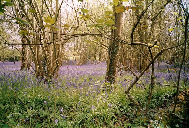
Stockbridge Wood is a picturesque forest located in the county of Dorset, England. Covering an area of approximately 100 acres, it is a popular destination for nature lovers and outdoor enthusiasts. The wood is situated near the village of Stockbridge, which is known for its charming rural setting.
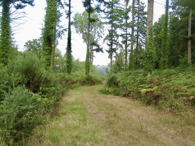
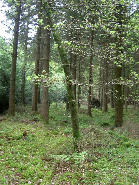
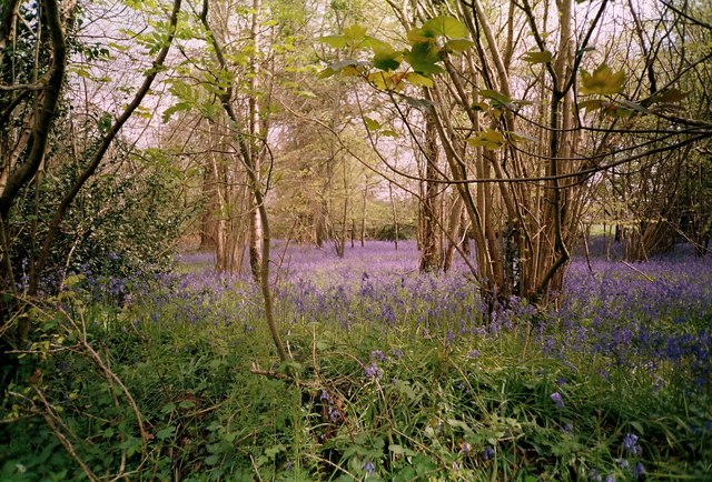
The woodland is characterized by its diverse range of tree species, including oak, beech, and ash trees. These towering giants create a lush canopy that provides shelter to a variety of wildlife. Visitors can expect to encounter numerous bird species, such as woodpeckers and owls, as well as small mammals like squirrels and foxes.
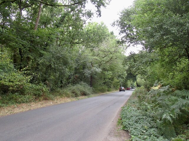
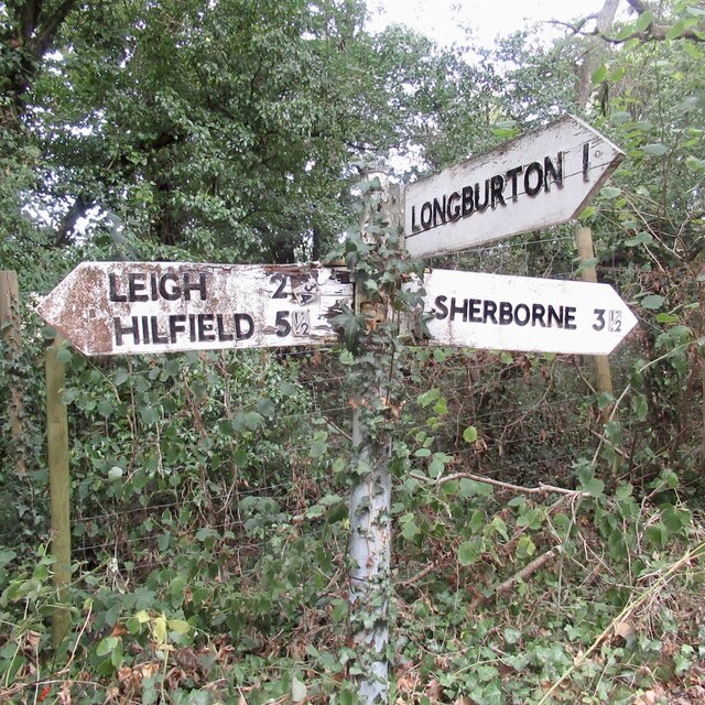
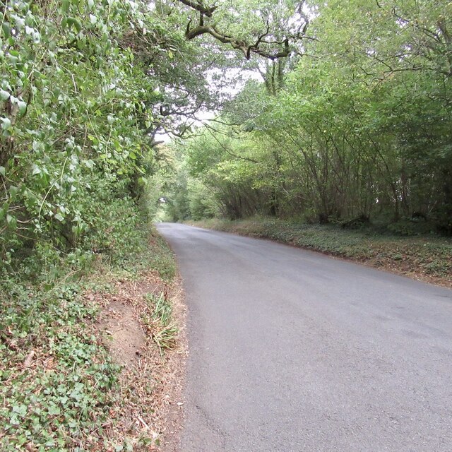
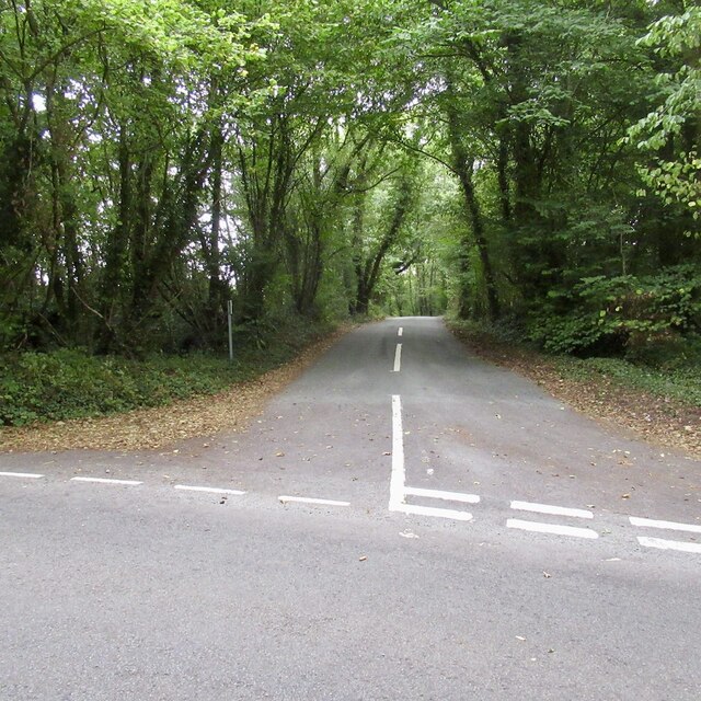
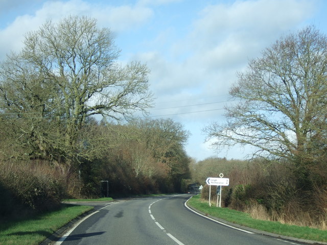
Within the wood, there are several well-marked footpaths and trails that allow visitors to explore and immerse themselves in the natural beauty of the area. These paths meander through the forest, offering glimpses of tranquil streams and vibrant wildflowers. The wood also boasts a small picnic area, where visitors can enjoy a peaceful lunch surrounded by the sights and sounds of nature.
One of the highlights of Stockbridge Wood is its rich history. The area has long been associated with the timber industry, and remnants of old saw pits and charcoal hearths can still be seen among the trees. Additionally, the wood is home to an ancient iron-age hillfort, adding an element of archaeological interest to the site.
Overall, Stockbridge Wood is a captivating destination that showcases the natural splendor and cultural heritage of Dorset. Whether it's a leisurely stroll, birdwatching, or a family picnic, this enchanting woodland offers something for everyone to enjoy.
If you have any feedback on the listing, please let us know in the comments section below.
Stockbridge Wood Images
Images are sourced within 2km of 50.899452/-2.5133368 or Grid Reference ST6311. Thanks to Geograph Open Source API. All images are credited.

Stockbridge Wood is located at Grid Ref: ST6311 (Lat: 50.899452, Lng: -2.5133368)
Unitary Authority: Dorset
Police Authority: Dorset
What 3 Words
///giants.warns.tanked. Near Yetminster, Dorset
Nearby Locations
Related Wikis
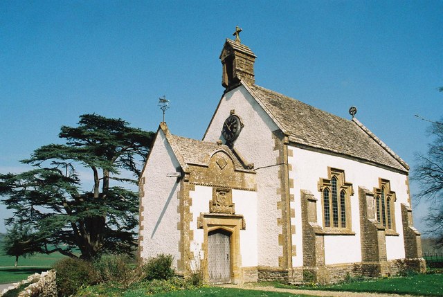
Leweston School
Leweston School is an independent day and boarding school near Sherborne in Dorset, England. The school is co-educational in the Nursery and Preparatory...
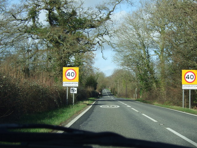
Longburton
Longburton or Long Burton is a village in Dorset, England, three miles (5 km) south of Sherborne. It is sited on a narrow outcrop of Cornbrash limestone...

Lillington, Dorset
Lillington is a hamlet and civil parish in north west Dorset, England, situated 3 miles (4.8 km) south of Sherborne. Dorset County Council estimate that...

Holnest
Holnest is a village and civil parish in the county of Dorset in southern England. It lies in the Blackmore Vale 4 miles (6.4 km) south of Sherborne. It...
Nearby Amenities
Located within 500m of 50.899452,-2.5133368Have you been to Stockbridge Wood?
Leave your review of Stockbridge Wood below (or comments, questions and feedback).