Nettlebridge
Settlement in Somerset Mendip
England
Nettlebridge
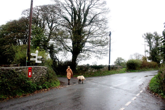
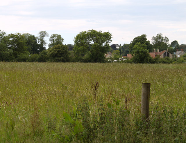
Nettlebridge is a picturesque village located in the county of Somerset, England. Situated in the Mendip Hills, it is nestled amidst rolling green countryside and offers stunning views of the surrounding landscapes. The village is part of the Mendip district and falls within the civil parish of Doulting.
Nettlebridge is a small and tight-knit community with a population of around 300 residents. It is known for its peaceful and idyllic atmosphere, making it an attractive destination for those seeking a tranquil retreat. The village is characterized by charming stone cottages, quaint gardens, and narrow lanes that add to its quaint appeal.
One of the main landmarks in Nettlebridge is the Nettlebridge House, a historic country house that dates back to the 18th century. This grand mansion is surrounded by expansive gardens and provides a glimpse into the area's rich heritage. Additionally, the village boasts a traditional pub, the Nettlebridge Inn, which serves as a popular gathering spot for both locals and visitors.
Nettlebridge is blessed with an abundance of natural beauty and offers several opportunities for outdoor activities. The nearby Mendip Hills, an Area of Outstanding Natural Beauty, provide ample opportunities for hiking, cycling, and exploring the diverse flora and fauna. The village is also close to the River Sheppey, which is a popular spot for fishing and picnicking.
In conclusion, Nettlebridge is a charming village in Somerset that offers a peaceful and scenic retreat. With its historic landmarks, natural beauty, and close-knit community, it is a hidden gem that attracts those seeking a tranquil escape from the hustle and bustle of everyday life.
If you have any feedback on the listing, please let us know in the comments section below.
Nettlebridge Images
Images are sourced within 2km of 51.234257/-2.507588 or Grid Reference ST6448. Thanks to Geograph Open Source API. All images are credited.


Nettlebridge is located at Grid Ref: ST6448 (Lat: 51.234257, Lng: -2.507588)
Administrative County: Somerset
District: Mendip
Police Authority: Avon and Somerset
What 3 Words
///boast.drove.duty. Near Chilcompton, Somerset
Nearby Locations
Related Wikis

Harridge Wood
Harridge Wood is an area of woodland in Somerset, England. From about 1300 AD part of the wood was the scene of coal mining, which continued until around...

Ashwick
Ashwick is a village in Somerset, England, about three miles north of Shepton Mallet and seven miles east from Wells. It has also been a civil parish since...

Ashwick Court
Ashwick Court is Grade II listed house on Heckley Lane northwest of Ashwick, in Mendip district, eastern Somerset, England, adjacent to the Church of St...

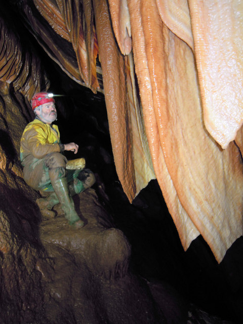
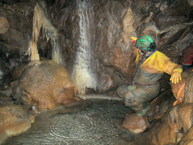
W/L Cave
W/L Cave is part of the Fairy Cave Quarry group of caves between Stoke St Michael and Oakhill in the limestone of the Mendip Hills, in Somerset, England...

Balch Cave
Balch Cave (grid reference ST65734753) is a cave in Fairy Cave Quarry, near Stoke St Michael in the limestone of the Mendip Hills, in Somerset, England...

Hillier's Cave
Hillier's Cave (grid reference ST65734753) is a cave in Fairy Cave Quarry, near Stoke St Michael in the limestone of the Mendip Hills, in Somerset, England...
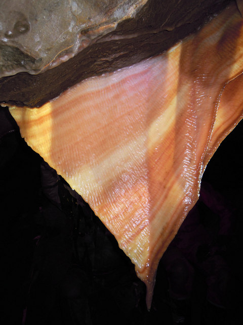
Shatter Cave
Shatter Cave is a cave in Fairy Cave Quarry, near Stoke St Michael in the limestone of the Mendip Hills, in Somerset, England. It falls within the St....

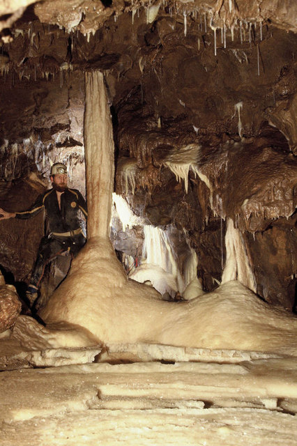
Fairy Cave Quarry
Fairy Cave Quarry (grid reference ST65734753) is between Stoke St Michael and Oakhill in the limestone of the Mendip Hills, in Somerset, England. Quarrying...
Nearby Amenities
Located within 500m of 51.234257,-2.507588Have you been to Nettlebridge?
Leave your review of Nettlebridge below (or comments, questions and feedback).