Jordan Wood

Wood, Forest in Westmorland South Lakeland

England

Jordan Wood

Stangerthwaite Ford This ford on the River Lune is found on the track to Stangerthwaite.
Stangerthwaite Ford Credit: John Walton

Jordan Wood is a dense forest located in the county of Westmorland, England. Spanning over a significant area of land, this woodland is known for its rich biodiversity and natural beauty. The forest is situated in close proximity to the town of Westmorland, making it easily accessible for both locals and tourists.

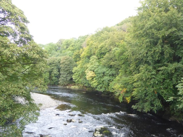
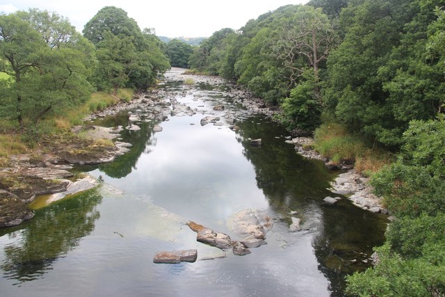
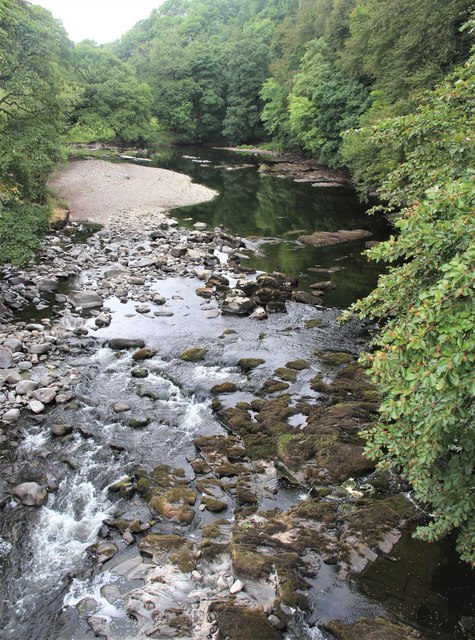
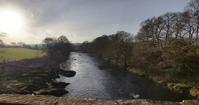
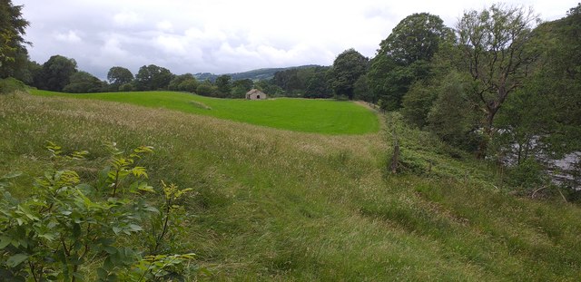
Covering a variety of terrain, Jordan Wood features rolling hills, gentle slopes, and meandering streams that add to its picturesque charm. The dominant tree species found within the woodland include oak, beech, and birch, which create a dense canopy overhead. This lush vegetation provides a habitat for a diverse range of wildlife, including deer, foxes, rabbits, and numerous bird species.

The forest is a popular destination for outdoor enthusiasts, offering a range of activities such as hiking, cycling, and birdwatching. There are several well-marked trails that allow visitors to explore the woodland at their own pace, immersing themselves in the natural surroundings. The tranquil atmosphere of Jordan Wood also makes it an ideal spot for nature lovers seeking solitude and relaxation.

In addition to its recreational appeal, Jordan Wood also plays an important ecological role. The forest acts as a carbon sink, absorbing and storing significant amounts of carbon dioxide from the atmosphere. It also helps to regulate local temperatures, reduce soil erosion, and enhance water quality in nearby streams and rivers.

Overall, Jordan Wood in Westmorland is a captivating natural haven that offers a range of recreational opportunities while contributing to the environmental well-being of the region.

If you have any feedback on the listing, please let us know in the comments section below.
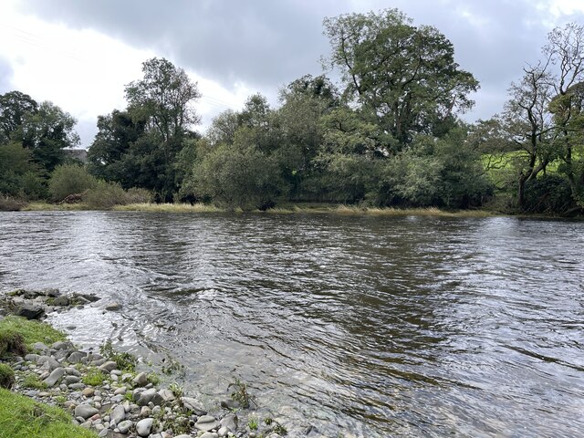
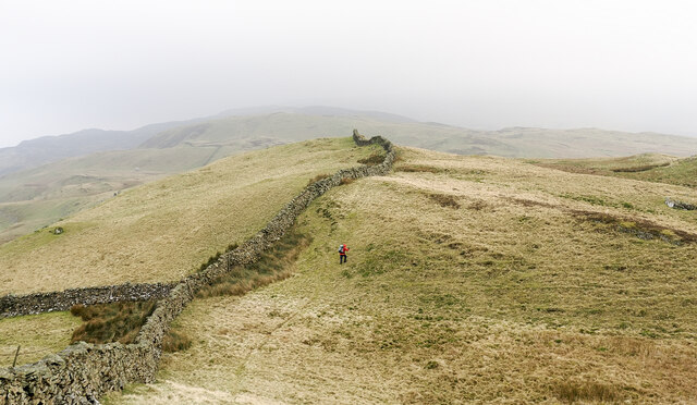
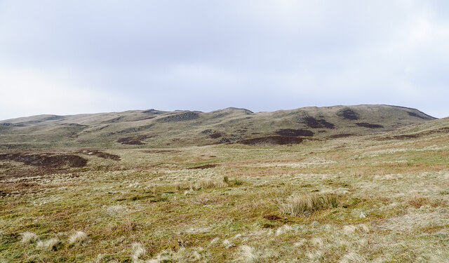
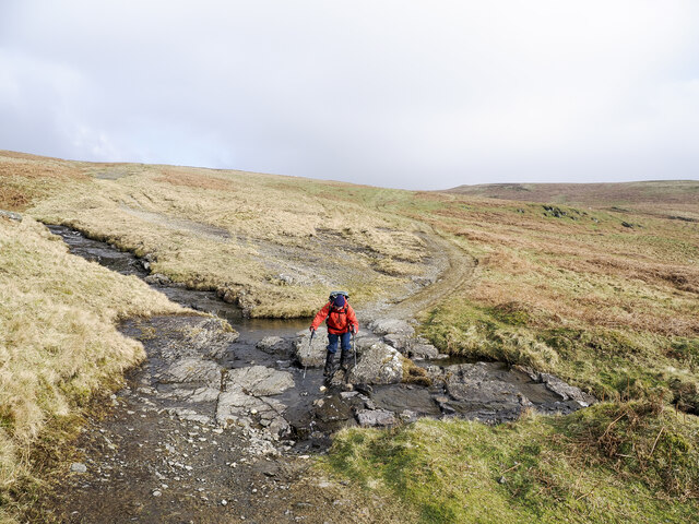
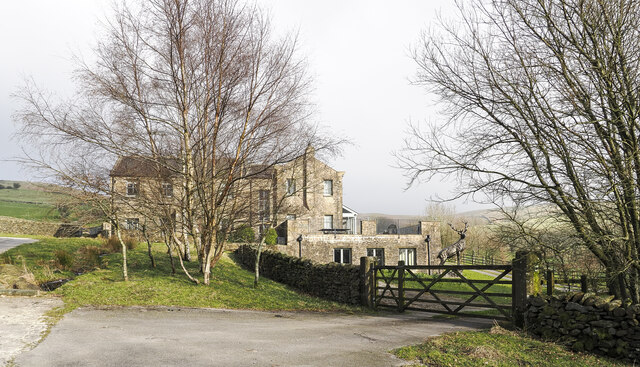
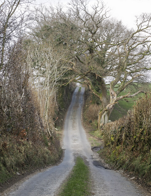
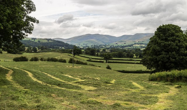
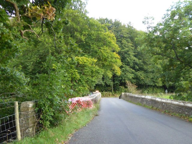
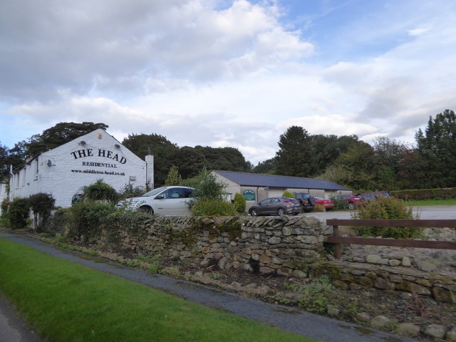
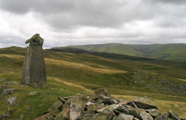
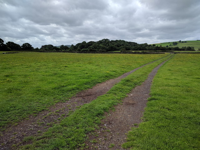
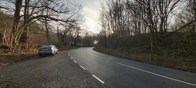
Jordan Wood Images

Images are sourced within 2km of 54.302478/-2.5581061 or Grid Reference SD6389. Thanks to Geograph Open Source API. All images are credited.

Stangerthwaite Ford This ford on the River Lune is found on the track to Stangerthwaite.
Stangerthwaite Ford
This ford on the River Lune is found on the track to Stangerthwaite.
Hill walker traversing Knolls of Holme Knott Holme Knott is named on OS maps as a series of knolls behind the camera position, there's a trig point there. The hill walker is climbing to a slightly higher point, one at 370 metres, which is also named as Holme Knott in a listing on the Hillbagging website.
Hill walker traversing Knolls of Holme Knott
Holme Knott is named on OS maps as a series of knolls behind the camera position, there's a trig point there. The hill walker is climbing to a slightly higher point, one at 370 metres, which is also named as Holme Knott in a listing on the Hillbagging website.
Moorland of southern slope of Holme Knott The moorland is cut through by Middleton Hall Beck the groove of which can be discerned in the image.
The skyline knolls are those of Holme Knott, the highest of them rising to 370 metres.
Moorland of southern slope of Holme Knott
The moorland is cut through by Middleton Hall Beck the groove of which can be discerned in the image. The skyline knolls are those of Holme Knott, the highest of them rising to 370 metres.
Walker on track crossing Ridding Beck The hill track descends to Fellside where it meets a narrow public road.
Walker on track crossing Ridding Beck
The hill track descends to Fellside where it meets a narrow public road.
High Fellside Hall This large property, close to the edge of moorland is at the end of a minor, winding public road rising from the A683 on the east side of the River Lune.
High Fellside Hall
This large property, close to the edge of moorland is at the end of a minor, winding public road rising from the A683 on the east side of the River Lune.
Jordan Lane heading north The lane is a minor public road. Here it's following the line of a Roman road below Holme Knott. The route of the Roman road is also used by the A683, south of this location.
Jordan Lane heading north
The lane is a minor public road. Here it's following the line of a Roman road below Holme Knott. The route of the Roman road is also used by the A683, south of this location.
Yeat Flatts Silage ready for collection on fields at Yeat Flatts Farm.
Yeat Flatts
Silage ready for collection on fields at Yeat Flatts Farm.
Middleton Bridge, over the River Rawthey
The River Rawthey from Middleton Bridge
The Head Inn at Middleton Head Formerly the Railway Tavern; the LNWR line ran parallel to the road here
The Head Inn at Middleton Head
Formerly the Railway Tavern; the LNWR line ran parallel to the road here
Trig point at summit of Holme Knott Part of the summit area of Holme Knott with Calf Top in the distance.
Trig point at summit of Holme Knott
Part of the summit area of Holme Knott with Calf Top in the distance.
Track heading across a field
River Rawthey At Middleton Bridge.
River Rawthey
At Middleton Bridge.
River Rawthey At Middleton Bridge.
River Rawthey
At Middleton Bridge.
Old Milestone by the A683, south of Middleton Bridge, Middleton parish Carved stone post by the A683, in parish of MIDDLETON (SOUTH LAKELAND District), 320m South of Middleton Bridge, half mile South of Four Lane Ends, on the verge, on West side of road. Sedbergh SKL stone, erected by the Sedbergh turnpike trust in the 19th century. 

Inscription reads:-
: S / 3 : :  K.L. / 7¾ :
(To Sedbergh and Kirkby Lonsdale)
Carved benchmark and rivet on top left.

Grade II listed.  
List Entry Number: 1086863 <span class="nowrap"><a title="https://historicengland.org.uk/listing/the-list/list-entry/1086863" rel="nofollow ugc noopener" href="https://historicengland.org.uk/listing/the-list/list-entry/1086863">Link</a><img style="margin-left:2px;" alt="External link" title="External link - shift click to open in new window" src="https://s1.geograph.org.uk/img/external.png" width="10" height="10"/></span>

Milestone Society National ID: WE_SBKL03.
Old Milestone by the A683, south of Middleton Bridge, Middleton parish
Carved stone post by the A683, in parish of MIDDLETON (SOUTH LAKELAND District), 320m South of Middleton Bridge, half mile South of Four Lane Ends, on the verge, on West side of road. Sedbergh SKL stone, erected by the Sedbergh turnpike trust in the 19th century. Inscription reads:- : S / 3 : : K.L. / 7¾ : (To Sedbergh and Kirkby Lonsdale) Carved benchmark and rivet on top left. Grade II listed. List Entry Number: 1086863 LinkExternal link Milestone Society National ID: WE_SBKL03.
The River Rawthey from Middleton Bridge
Layby at the Jordan Lane road junction
Near Middleton Bridge Stone barn in field near Middleton Bridge.
Near Middleton Bridge
Stone barn in field near Middleton Bridge.
Show me another place!

Jordan Wood is located at Grid Ref: SD6389 (Lat: 54.302478, Lng: -2.5581061)

Administrative County: Cumbria

District: South Lakeland

Police Authority: Cumbria

What 3 Words

///widen.hedgehog.crush. Near Sedbergh, Cumbria

Related Wikis

River Rawthey

The River Rawthey is a river in Cumbria in northwest England. The headwaters of the Rawthey are at Rawthey Gill Foot, where Rawthey Gill meets Haskhaw...

Brigflatts Meeting House

Brigflatts Meeting House or Briggflatts Meeting House is a Friends Meeting House of the Religious Society of Friends (Quakers), near Sedbergh, Cumbria...

River Dee, Cumbria

The River Dee is a river running through the extreme south east of Cumbria, a part of the Craven region traditionally part of the West Riding of Yorkshire...

Middleton-on-Lune railway station

Middleton-on-Lune railway station was located in Westmorland, England, (now in Cumbria), serving the hamlet and rural locale of Middleton on the Ingleton...

Nearby Amenities

Located within 500m of 54.302478,-2.5581061
Natural: spring
Lat/Long: 54.3013508/-2.5571164
Natural: spring
Lat/Long: 54.2986837/-2.560614
Natural: spring
Lat/Long: 54.2990469/-2.560378
Natural: spring
Lat/Long: 54.3005995/-2.5582751
Natural: spring
Lat/Long: 54.2997355/-2.5629743
Newclose Wood
Natural: woodland
Source: OS OpenData StreetView
Lat/Long: 54.3010057/-2.5586295
Jordan Wood
Natural: woodland
Source: OS OpenData StreetView
Lat/Long: 54.3027837/-2.5599813
Power: pole
Lat/Long: 54.3052851/-2.5585887
Power: pole
Lat/Long: 54.2987461/-2.5618342
Power: pole
Lat/Long: 54.2995647/-2.5615338
Power: pole
Lat/Long: 54.3002127/-2.5612789
Power: pole
Lat/Long: 54.3008998/-2.5610215
Power: pole
Lat/Long: 54.3016808/-2.5607264
Power: pole
Lat/Long: 54.3026543/-2.5603697
Power: pole
Lat/Long: 54.3035824/-2.560021
Power: pole
Lat/Long: 54.3045746/-2.5596669
Power: pole
Lat/Long: 54.3059001/-2.5576741
Power: pole
Lat/Long: 54.3066216/-2.5565797
Power: pole
Lat/Long: 54.3021237/-2.5636822
Power: pole
Lat/Long: 54.3013928/-2.5640121
Power: pole
Lat/Long: 54.3003536/-2.5644627
Power: pole
Lat/Long: 54.3029375/-2.5640385
The data included in this document is from www.openstreetmap.org. The data is made available under ODbL.

Have you been to Jordan Wood?

Leave your review of Jordan Wood below (or comments, questions and feedback).