Milson Wood
Wood, Forest in Shropshire
England
Milson Wood
Milson Wood is a picturesque forest located in the county of Shropshire, England. Covering an area of approximately 100 acres, this wood is known for its natural beauty and tranquil ambiance. It is situated near the village of Milson and is easily accessible to visitors.
The wood consists of a mix of deciduous and coniferous trees, creating a diverse and vibrant landscape throughout the year. Oak, beech, and birch trees dominate the woodland, providing a rich habitat for various wildlife species. The forest floor is adorned with a carpet of bluebells in the spring, painting the area in a sea of color.
Milson Wood offers a range of activities for nature enthusiasts and outdoor lovers. There are several well-maintained walking trails that meander through the forest, allowing visitors to explore the diverse flora and fauna. Birdwatchers will delight in the opportunity to spot various species, including woodpeckers, nuthatches, and buzzards.
The wood also serves as a popular spot for picnics and family outings, with designated areas equipped with picnic tables and benches. It provides a peaceful escape from the hustle and bustle of everyday life, offering a sanctuary for relaxation and contemplation.
Managed by a local conservation organization, Milson Wood is committed to preserving its natural beauty and biodiversity. The forest is open to the public throughout the year, free of charge, although visitors are encouraged to adhere to conservation guidelines and respect the wildlife and vegetation.
If you have any feedback on the listing, please let us know in the comments section below.
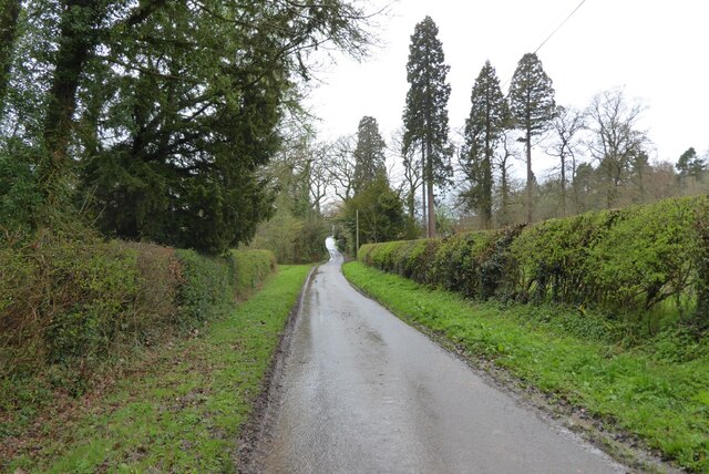
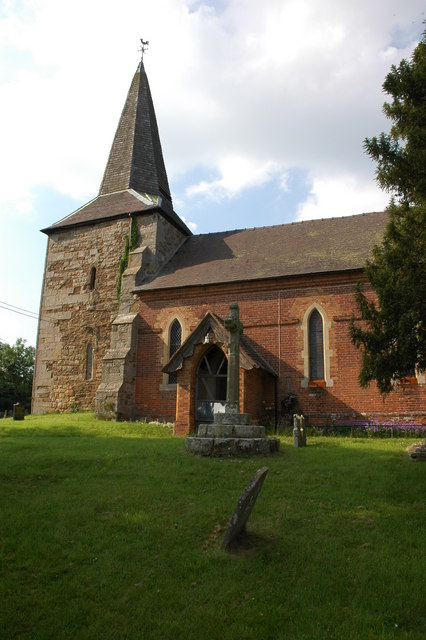
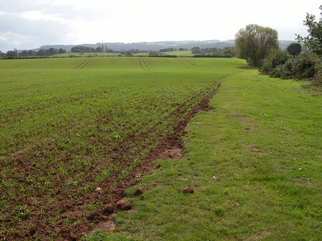
Milson Wood Images
Images are sourced within 2km of 52.345724/-2.533027 or Grid Reference SO6372. Thanks to Geograph Open Source API. All images are credited.


Milson Wood is located at Grid Ref: SO6372 (Lat: 52.345724, Lng: -2.533027)
Unitary Authority: Shropshire
Police Authority: West Mercia
What 3 Words
///segregate.lists.ocean. Near Cleobury Mortimer, Shropshire
Nearby Locations
Related Wikis

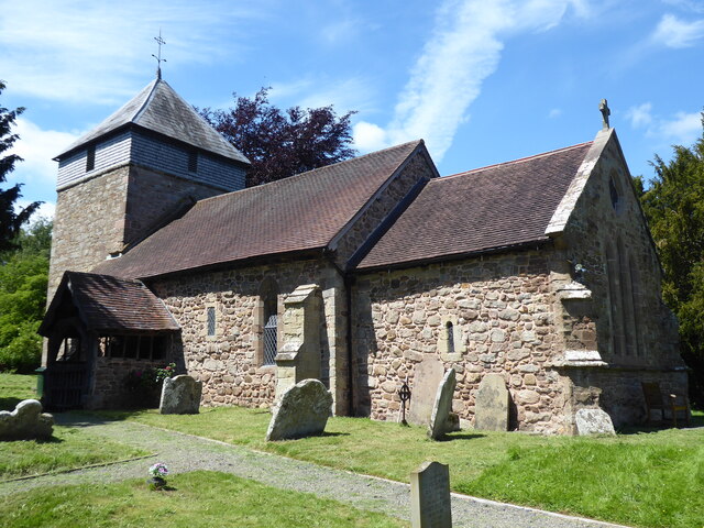
Milson, Shropshire
Milson is a small village and civil parish in Shropshire, England. The Church of England parish church is dedicated to Saint George and is in the Diocese...

Knighton on Teme
Knighton on Teme is a village and civil parish once in the hundred of Doddingtree and now in the Malvern Hills District of the county of Worcestershire...

Neen Sollars
Neen Sollars is a village and civil parish in south east Shropshire, England. It is situated close to the border with Worcestershire, three miles south...

Neen Sollars railway station
Neen Sollars railway station was a station on the Tenbury & Bewdley railway in Neen Sollars, Shropshire, England. The station opened on 13 August 1864...
Coreley
Coreley is a small, dispersed village and civil parish in south Shropshire, England, near to Clee Hill Village. It is situated approximately 30 miles...

Newnham Bridge
Newnham Bridge is a village in the parish of Knighton on Teme, near Tenbury Wells, Worcestershire, England, United Kingdom. The village derives part of...

Newnham Bridge railway station
Newnham Bridge railway station was a station on the Tenbury and Bewdley Railway in Newnham Bridge, Worcestershire, England. The station was named 'Newnham...
Marlbrook, Shropshire
Marlbrook is a hamlet in Shropshire, England, right on the border with Worcestershire. == References == The geographic coordinates are from the Ordnance...
Nearby Amenities
Located within 500m of 52.345724,-2.533027Have you been to Milson Wood?
Leave your review of Milson Wood below (or comments, questions and feedback).