Trapnell Coppice

Wood, Forest in Shropshire

England

Trapnell Coppice

Milson, St George
Milson, St George Credit: Dave Kelly

Trapnell Coppice is a serene woodland located in the picturesque county of Shropshire, England. Covering an area of approximately 50 acres, this enchanting forest is nestled within the heart of the county, offering visitors a remarkable escape into nature.

The coppice is predominantly composed of a diverse range of tree species, including oak, beech, birch, and ash, creating a rich and vibrant ecosystem. The lush undergrowth is adorned with a variety of wildflowers, providing a colorful and captivating backdrop to the woodland. Visitors can enjoy leisurely walks along the well-maintained paths, immersing themselves in the tranquility of the surroundings.

The forest is home to a multitude of wildlife, making it a haven for nature enthusiasts and birdwatchers. Visitors may be lucky enough to spot elusive creatures such as deer, badgers, and foxes, while an array of bird species, including woodpeckers and owls, can be heard and seen throughout the day.

Trapnell Coppice offers a range of facilities to enhance visitors' experiences. A visitor center provides information about the woodland's history, flora, and fauna, ensuring that visitors can gain a deeper understanding of the forest's importance. Picnic areas are scattered throughout the woods, inviting families and groups to savor a peaceful lunch amidst the natural beauty.

Overall, Trapnell Coppice is a captivating woodland retreat that allows visitors to connect with nature and explore the diverse ecosystems that thrive within it. Whether it's a leisurely walk, wildlife spotting, or simply enjoying the tranquility, this enchanting forest offers something for everyone.

If you have any feedback on the listing, please let us know in the comments section below.

Trapnell Coppice Images

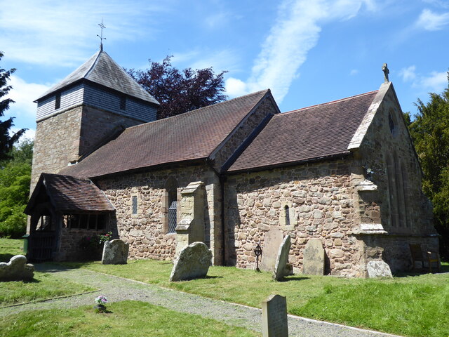
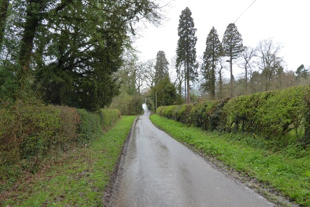
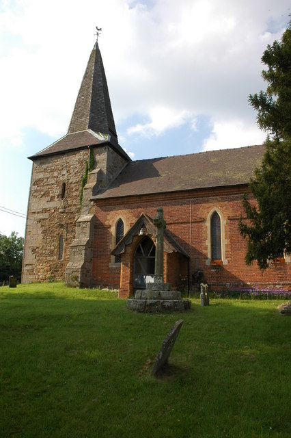
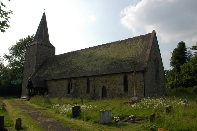
Images are sourced within 2km of 52.346542/-2.5429311 or Grid Reference SO6372. Thanks to Geograph Open Source API. All images are credited.

Milson, St George
Milson, St George
No through road at Bickley No through road giving access to Bickley House.
No through road at Bickley
No through road giving access to Bickley House.
Millbrook, Haybridge The Mill Brook runs off Clee Hill to the Teme via the Rea Brook.
Millbrook, Haybridge
The Mill Brook runs off Clee Hill to the Teme via the Rea Brook.
Tenbury to Cleobury road Unclassified but well used road. I used to find it a useful route, although hilly it avoids the 375m pass over Clee Hill when heading towards The Midlands from the west.
Tenbury to Cleobury road
Unclassified but well used road. I used to find it a useful route, although hilly it avoids the 375m pass over Clee Hill when heading towards The Midlands from the west.
Grown out lane, Milson It looks like a strip wood, and probably serves as a shelter belt, but the map and close examination suggest that this was once a lane between two hedges, which ceased to be used. In these parts, stop using a road and it soon becomes a jungle, one which would gladden the black heart of the Sleeping Beauty's evil fairy.
Grown out lane, Milson
It looks like a strip wood, and probably serves as a shelter belt, but the map and close examination suggest that this was once a lane between two hedges, which ceased to be used. In these parts, stop using a road and it soon becomes a jungle, one which would gladden the black heart of the Sleeping Beauty's evil fairy.
Woodland near Milson A small wood on one of the steep small hills that are a distinctive feature of the Teme Valley downstream of Tenbury.
Woodland near Milson
A small wood on one of the steep small hills that are a distinctive feature of the Teme Valley downstream of Tenbury.
A rough field  near Boraston Hilly country with watercourses cutting deep valleys as they descend off Clee Hill down to the Teme.
A rough field near Boraston
Hilly country with watercourses cutting deep valleys as they descend off Clee Hill down to the Teme.
Field entrance Grassland north of Boraston.
Field entrance
Grassland north of Boraston.
Haybridge Bridge over the Mill Brook.
Haybridge
Bridge over the Mill Brook.
Snowy day at the Bower Looking across a snow covered landscape at Bower Cottage Bower from the upstairs window of the neighbouring house.
Snowy day at the Bower
Looking across a snow covered landscape at Bower Cottage Bower from the upstairs window of the neighbouring house.
Snow on a green lane in Coreley Looking down the green lane which used to be a through route to the Trapnell but is now a dead end due to a landowner forcing through its closure!  Taken on a snowy walk with more snow just about to fall.
Snow on a green lane in Coreley
Looking down the green lane which used to be a through route to the Trapnell but is now a dead end due to a landowner forcing through its closure! Taken on a snowy walk with more snow just about to fall.
Brookfield House in Coreley
Sign and notice board in Coreley
Coreley Farm
Coreley Farm
Lane to Milson
Lane to Milson
Farmland near Coreley
Lane near Milson Airstrip The fence in the middle of the view is the entrance to the airstrip.
Lane near Milson Airstrip
The fence in the middle of the view is the entrance to the airstrip.
Farmland and cattle near Milson
Show me another place!

Trapnell Coppice is located at Grid Ref: SO6372 (Lat: 52.346542, Lng: -2.5429311)

Unitary Authority: Shropshire

Police Authority: West Mercia

What 3 Words

///tilt.technical.removal. Near Tenbury Wells, Worcestershire

Related Wikis

Milson, Shropshire

Milson is a small village and civil parish in Shropshire, England. The Church of England parish church is dedicated to Saint George and is in the Diocese...

Coreley

Coreley is a small, dispersed village and civil parish in south Shropshire, England, near to Clee Hill Village. It is situated approximately 30 miles...

Knighton on Teme

Knighton on Teme is a village and civil parish once in the hundred of Doddingtree and now in the Malvern Hills District of the county of Worcestershire...

Nash, south Shropshire

Nash is a small village and civil parish located in Shropshire, England, situated south east of Ludlow and north of Tenbury Wells. The parish had a population...

Nearby Amenities

Located within 500m of 52.346542,-2.5429311
Natural: spring
Source: OS 1:25k
Lat/Long: 52.3462854/-2.5390205
Man Made: water_well
Source: OS 1:25k
Lat/Long: 52.348648/-2.5390845
The data included in this document is from www.openstreetmap.org. The data is made available under ODbL.

Have you been to Trapnell Coppice?

Leave your review of Trapnell Coppice below (or comments, questions and feedback).