Lowe Wood
Wood, Forest in Shropshire
England
Lowe Wood
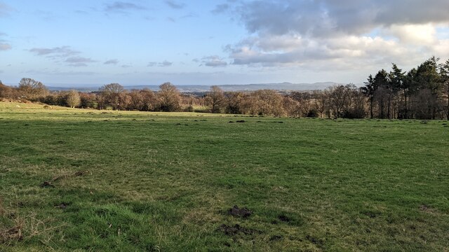
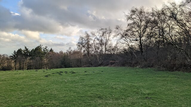
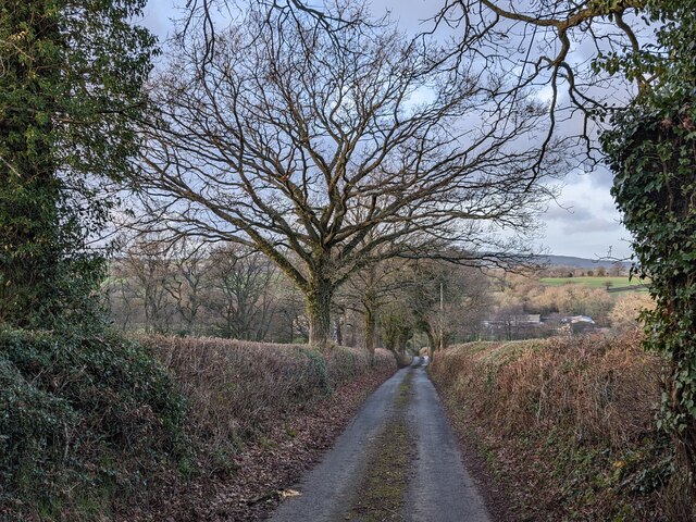
Lowe Wood is a picturesque forest located in the county of Shropshire, England. Nestled in the heart of the countryside, this woodland area covers approximately 100 acres and is known for its natural beauty and diverse array of flora and fauna.
The wood is predominantly composed of various deciduous tree species, such as oak, beech, and birch, creating a dense and leafy canopy during the warmer months. The forest floor is adorned with a carpet of bluebells, wildflowers, and ferns, adding to its enchanting appeal. The wood is also home to a number of ancient trees, some of which are believed to be over 500 years old, adding a sense of history to the landscape.
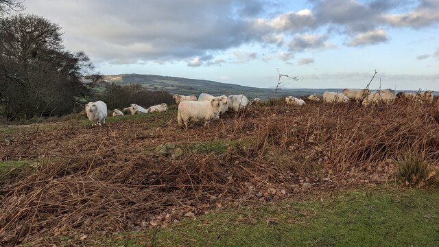
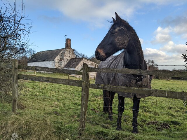
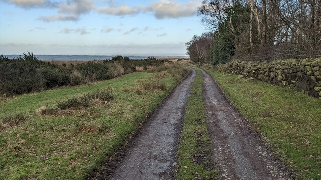
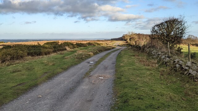
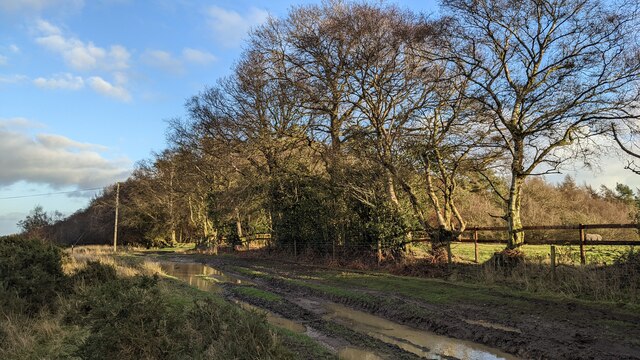
Lowe Wood offers a tranquil retreat for nature lovers and outdoor enthusiasts alike. It is a popular destination for hiking and walking, with well-maintained trails that wind through the forest, allowing visitors to explore its hidden nooks and crannies. The wood is also home to a wide variety of wildlife, including deer, foxes, badgers, and a plethora of bird species, making it a haven for wildlife enthusiasts and birdwatchers.
The wood is easily accessible, with a designated parking area located nearby, and there are information boards throughout the area providing details about the flora and fauna found within. The peaceful atmosphere, combined with the stunning natural surroundings, make Lowe Wood a beloved destination for locals and tourists seeking a serene escape in the heart of Shropshire.
If you have any feedback on the listing, please let us know in the comments section below.
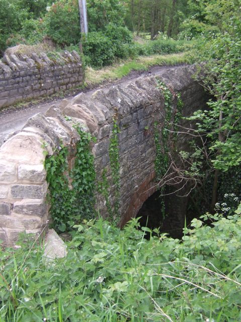
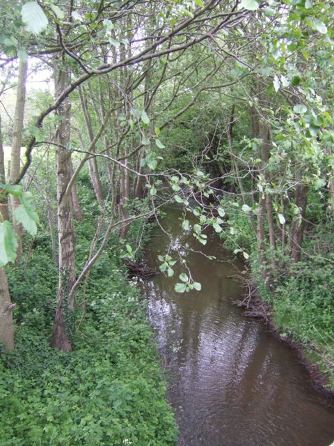
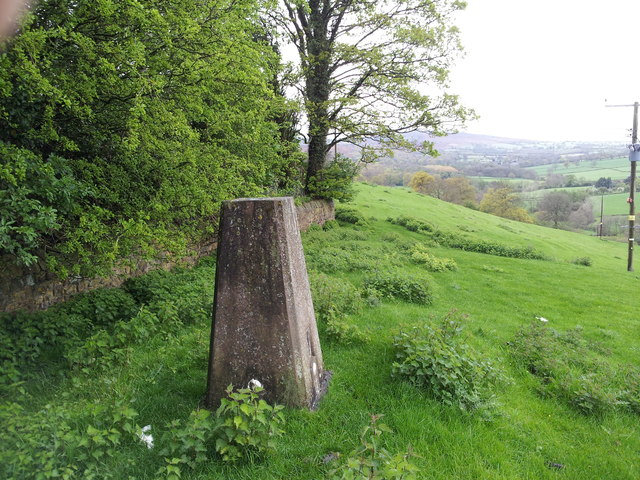
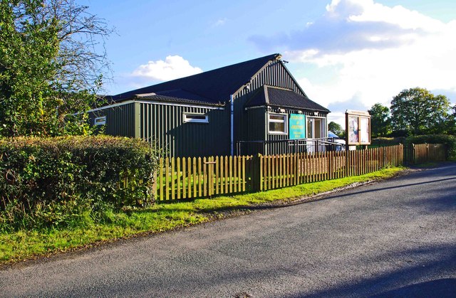
Lowe Wood Images
Images are sourced within 2km of 52.416473/-2.5438488 or Grid Reference SO6379. Thanks to Geograph Open Source API. All images are credited.

Lowe Wood is located at Grid Ref: SO6379 (Lat: 52.416473, Lng: -2.5438488)
Unitary Authority: Shropshire
Police Authority: West Mercia
What 3 Words
///thinks.albatross.riding. Near Cleobury Mortimer, Shropshire
Nearby Locations
Related Wikis

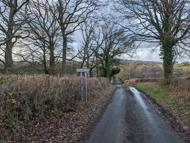
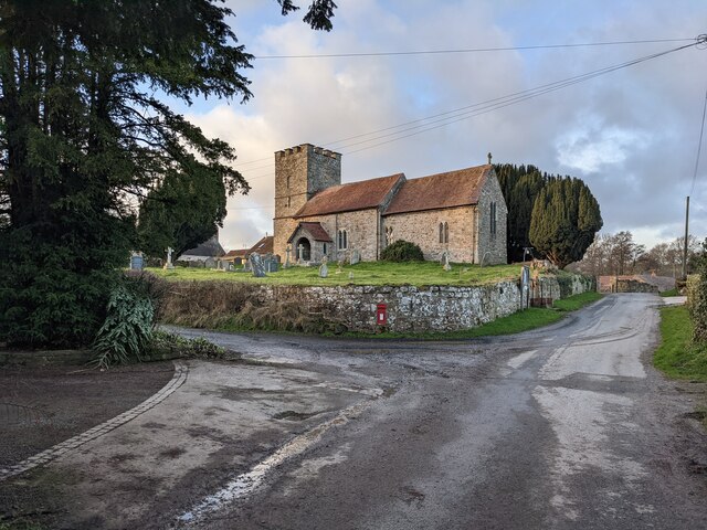
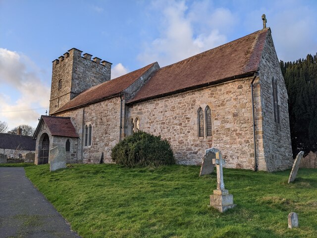
Silvington
Silvington is a village and former civil parish, now in the parish of Wheathill, in Shropshire, England. The church is dedicated to Saint Michael and is...

Farlow, Shropshire
Farlow is a small village and civil parish in Shropshire, England. The population at the 2011 census was 445.The chapelry of Farlow was an exclave of Herefordshire...

Wheathill, Shropshire
Wheathill is a village and civil parish 21 miles (34 km) south east of Shrewsbury, in the Shropshire district, in the ceremonial county of Shropshire,...

Catherton Common
Catherton Common is a nature reserve of the Shropshire Wildlife Trust, between Cleehill and Cleobury Mortimer in Shropshire, England. It is heathland...
Nearby Amenities
Located within 500m of 52.416473,-2.5438488Have you been to Lowe Wood?
Leave your review of Lowe Wood below (or comments, questions and feedback).