Hill Houses

Settlement in Shropshire

England

Hill Houses

Farlow trig point Trig point just outside Farlow church grave yard
Farlow trig point Credit: John Horner

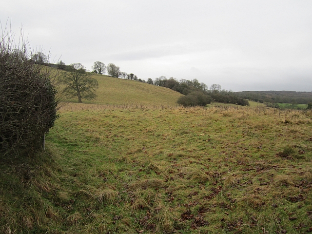
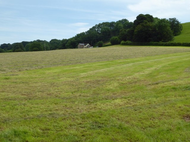
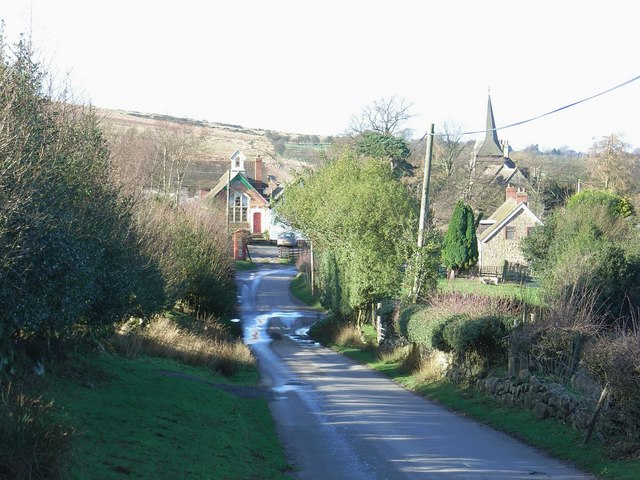
Hill Houses is a picturesque village located in the county of Shropshire, England. Situated in the heart of the rolling countryside, it is renowned for its idyllic setting and charming character. The village is situated on a gentle slope, offering breathtaking panoramic views of the surrounding landscape.

Hill Houses is home to a small but close-knit community, with a population of approximately 500 residents. The village is known for its peaceful atmosphere, making it an ideal place to escape the hustle and bustle of city life. Residents enjoy a close proximity to nature, with numerous walking trails and green spaces on their doorstep.

The architectural style of the village is predominantly traditional, with many historic buildings dating back to the 17th and 18th centuries. These well-preserved structures add to the village's timeless charm and provide an insight into its rich heritage.

Despite its small size, Hill Houses boasts a range of amenities to cater to residents' needs. These include a village hall, a post office, a local shop, and a pub, providing a sense of community and convenience.

The village is also within easy reach of larger towns and cities, with excellent transport links. This allows residents to enjoy the benefits of a rural lifestyle while still having access to urban amenities.

Overall, Hill Houses in Shropshire offers a peaceful and picturesque place to live, with its stunning natural surroundings, rich history, and strong community spirit.

If you have any feedback on the listing, please let us know in the comments section below.
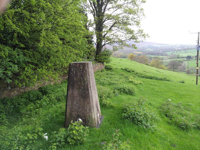
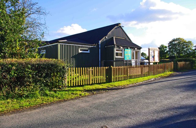
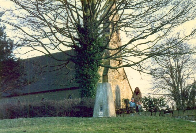
Hill Houses Images

Images are sourced within 2km of 52.409895/-2.540527 or Grid Reference SO6379. Thanks to Geograph Open Source API. All images are credited.

Farlow trig point Trig point just outside Farlow church grave yard
Farlow trig point
Trig point just outside Farlow church grave yard
Farlow & Oreton Village Hall, near Farlow The hall serves the villages of Farlow and Oreton and is a little way from both. It seems to date from the early 1950's.
Farlow & Oreton Village Hall, near Farlow
The hall serves the villages of Farlow and Oreton and is a little way from both. It seems to date from the early 1950's.
Trig point and St Giles Church Information on the Ordnance Survey trig point can be found at <span class="nowrap"><a title="http://trigpointinguk.com/trigs/trig-details.php?t=3118" rel="nofollow ugc noopener" href="http://trigpointinguk.com/trigs/trig-details.php?t=3118">Link</a><img style="margin-left:2px;" alt="External link" title="External link - shift click to open in new window" src="https://s1.geograph.org.uk/img/external.png" width="10" height="10"/></span>
Trig point and St Giles Church
Information on the Ordnance Survey trig point can be found at LinkExternal link
Steep slopes beneath Farlow Grass fields fall away from beneath Farlow.
Steep slopes beneath Farlow
Grass fields fall away from beneath Farlow.
Field, Silvington Farmland on the eastern slopes of Clee Hill.
Field, Silvington
Farmland on the eastern slopes of Clee Hill.
Glebe Farm Lane Farlow A regular feature in the area is the narrow lanes. This one leads from Farlow down to the dwellings around the Farlow Brook.
Glebe Farm Lane Farlow
A regular feature in the area is the narrow lanes. This one leads from Farlow down to the dwellings around the Farlow Brook.
An Unusual Headstone The Headstone of William Sutton in the Churchyard at Farlow in Shropshire is of Baked Clay which is exactly the same process as Brick making. I believe it is also known which Kiln it was baked in in the area.
An Unusual Headstone
The Headstone of William Sutton in the Churchyard at Farlow in Shropshire is of Baked Clay which is exactly the same process as Brick making. I believe it is also known which Kiln it was baked in in the area.
A Fine Veteran Yew Under the shadow of Clee Hill this veteran Yew seems to live a quiet unassuming life.
A Fine Veteran Yew
Under the shadow of Clee Hill this veteran Yew seems to live a quiet unassuming life.
The Old-New Yew This stand alone Yew next to the footpath has the unusual appearance of all the new growth going on inside the rotted centre of the original tree. This normally happens the other way round. Come back in a few years and the dead wood of the original tree is gone and the new growth would make you think this is nothing other than a young tree.
The Old-New Yew
This stand alone Yew next to the footpath has the unusual appearance of all the new growth going on inside the rotted centre of the original tree. This normally happens the other way round. Come back in a few years and the dead wood of the original tree is gone and the new growth would make you think this is nothing other than a young tree.
Farlow church Farlow church is dedicated to St Giles and is Grade II listed. see: <span class="nowrap"><a title="https://historicengland.org.uk/listing/the-list/list-entry/1188651" rel="nofollow ugc noopener" href="https://historicengland.org.uk/listing/the-list/list-entry/1188651">Link</a><img style="margin-left:2px;" alt="External link" title="External link - shift click to open in new window" src="https://s1.geograph.org.uk/img/external.png" width="10" height="10"/></span>.  The church was rebuilt in 1857-1858 by Robert Griffiths and includes a font and a 12th century doorway from the earlier church.
Farlow church
Farlow church is dedicated to St Giles and is Grade II listed. see: LinkExternal link. The church was rebuilt in 1857-1858 by Robert Griffiths and includes a font and a 12th century doorway from the earlier church.
Hillhead farmhouse The farm is still worked but to farmhouse appears to be unoccupied.  The farm in the village of Farlow stands on a ridge of high ground just to the west of the parish church.
Hillhead farmhouse
The farm is still worked but to farmhouse appears to be unoccupied. The farm in the village of Farlow stands on a ridge of high ground just to the west of the parish church.
Farmhouse and buildings, Hillhead Though the farm appears to be worked some of the farm buildings are in a sorry state and the house appears to be unoccupied.
Farmhouse and buildings, Hillhead
Though the farm appears to be worked some of the farm buildings are in a sorry state and the house appears to be unoccupied.
Hillhead Farm Farm buildings at Hillhead Farm.  The farm in situated on the top of a ridge just to the west of the parish church.
Hillhead Farm
Farm buildings at Hillhead Farm. The farm in situated on the top of a ridge just to the west of the parish church.
War grave of W. Jordan War grave in the churchyard of St Giles church, Farlow.  A look at the Commonwealth War Graves Commission website informs this is the grave of William Jordan who was the son of William and Harriet Jordan, of Factory Farm, Oreton.  He was a driver and died aged 22 on 10 February 1921.
War grave of W. Jordan
War grave in the churchyard of St Giles church, Farlow. A look at the Commonwealth War Graves Commission website informs this is the grave of William Jordan who was the son of William and Harriet Jordan, of Factory Farm, Oreton. He was a driver and died aged 22 on 10 February 1921.
Road approaching Farlow Just a little further along this road climbs very steeply, negotiating a couple of hairpin bends, to the village of Farlow.
Road approaching Farlow
Just a little further along this road climbs very steeply, negotiating a couple of hairpin bends, to the village of Farlow.
Country road at Farlow
Field at Farlow The village school and Farlow church are situated on hilltop to the right.
Field at Farlow
The village school and Farlow church are situated on hilltop to the right.
Farmland below Hillhead Farmland below Hillhead at Farlow, the farm buildings of Hillhead can be seen on the hilltop.
Farmland below Hillhead
Farmland below Hillhead at Farlow, the farm buildings of Hillhead can be seen on the hilltop.
Show me another place!

Hill Houses is located at Grid Ref: SO6379 (Lat: 52.409895, Lng: -2.540527)

Unitary Authority: Shropshire

Police Authority: West Mercia

What 3 Words

///compelled.cactus.cult. Near Cleobury Mortimer, Shropshire

Nearby Locations

Hill Houses Lowe Wood

Related Wikis

Silvington

Silvington is a village and former civil parish, now in the parish of Wheathill, in Shropshire, England. The church is dedicated to Saint Michael and is...

Farlow, Shropshire

Farlow is a small village and civil parish in Shropshire, England. The population at the 2011 census was 445. The chapelry of Farlow was an exclave of...

Catherton Common

Catherton Common is a nature reserve of the Shropshire Wildlife Trust, between Cleehill and Cleobury Mortimer in Shropshire, England. It is heathland...

Cleeton St Mary

Cleeton St Mary (or Cleeton) is a small village in south Shropshire, England. It lies on the northeast slope of Titterstone Clee Hill, at an elevation...

Nearby Amenities

Located within 500m of 52.409895,-2.540527
Hill Houses
Place: hamlet
Lat/Long: 52.4086881/-2.5400092
Barrier: cattle_grid
Source: survey
Lat/Long: 52.4061212/-2.5399138
The data included in this document is from www.openstreetmap.org. The data is made available under ODbL.

Have you been to Hill Houses?

Leave your review of Hill Houses below (or comments, questions and feedback).