Middleton Fell

Hill, Mountain in Westmorland South Lakeland

England

Middleton Fell

The Middleton Head A pub on the A683 south of Sedbergh. Named as the Railway Tavern, a 'beer house', on the 1899 map.  There was a railway station nearby on the Ingleton and Tebay line until passenger services ceased in 1931, but the fact that the tavern was several hundred metres away suggests it pre-dates the opening of the railway in 1861.
The Middleton Head Credit: Stephen Craven

Middleton Fell, located in the historic county of Westmorland in northwest England, is a prominent hill/mountain that offers stunning panoramic views of the surrounding countryside. It is situated on the eastern fringe of the Lake District National Park, near the villages of Middleton and Barbon.

Standing at an elevation of approximately 1,926 feet (587 meters), Middleton Fell is characterized by its gentle slopes and smooth, grassy terrain. The hill/mountain is predominantly made up of limestone, which gives it a distinct pale appearance amidst the greenery.

The summit of Middleton Fell provides visitors with breathtaking vistas across the rolling hills and valleys of Westmorland. On clear days, one can see as far as the Yorkshire Dales to the southeast and the Cumbrian Mountains to the northwest. The area is particularly popular among hikers and walkers due to its accessibility and scenic beauty.

Aside from its natural splendor, Middleton Fell also boasts a rich history. The hill/mountain was once the site of medieval settlements, and remnants of ancient stone walls and enclosures can still be found scattered across the landscape. These archaeological remains provide a glimpse into the lives of the people who once inhabited this remote part of Westmorland.

Middleton Fell, with its captivating views, lush vegetation, and historical significance, is a must-visit destination for nature enthusiasts and history buffs alike. Whether one chooses to undertake a challenging hike to the summit or simply soak in the tranquility of the surroundings, Middleton Fell offers a memorable experience in the heart of the beautiful Westmorland countryside.

If you have any feedback on the listing, please let us know in the comments section below.

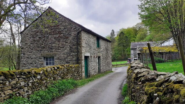
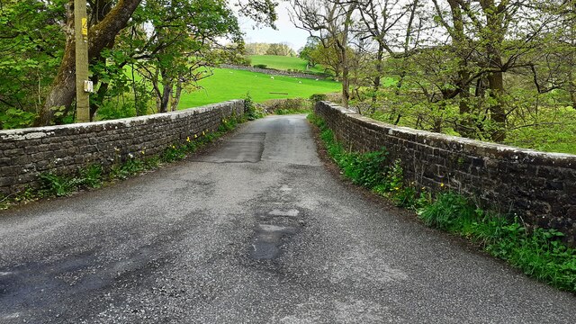
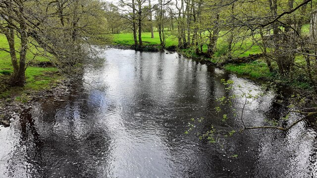
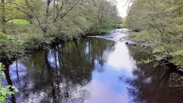
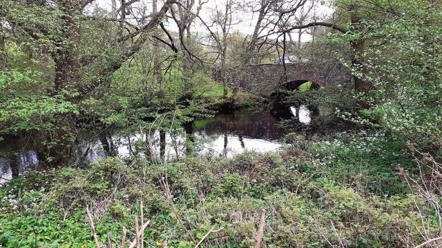
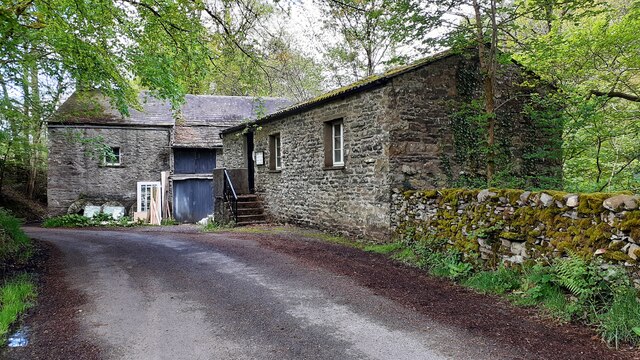
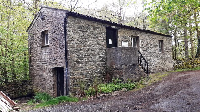
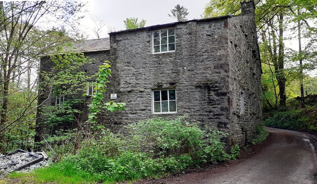
Middleton Fell Images

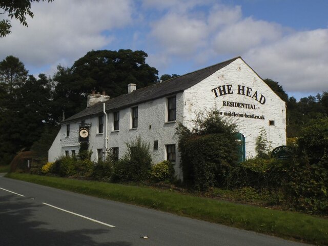
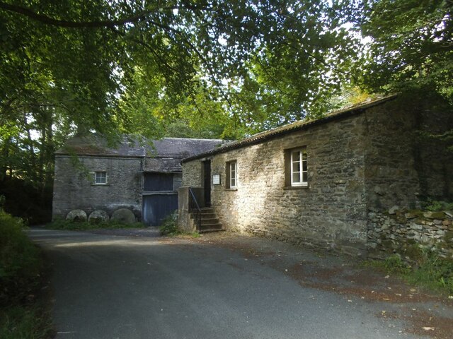
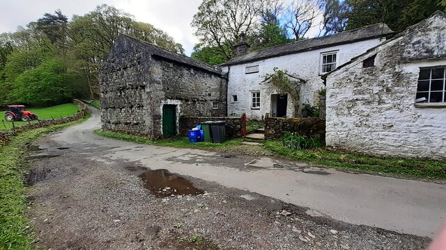
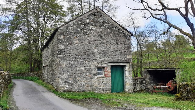
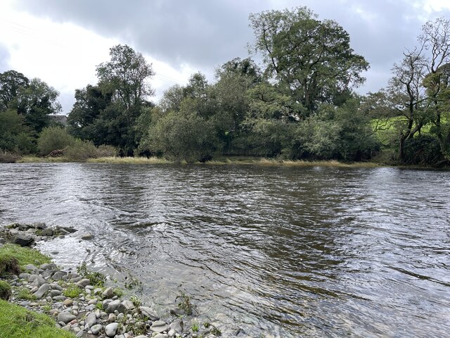
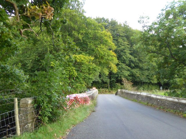
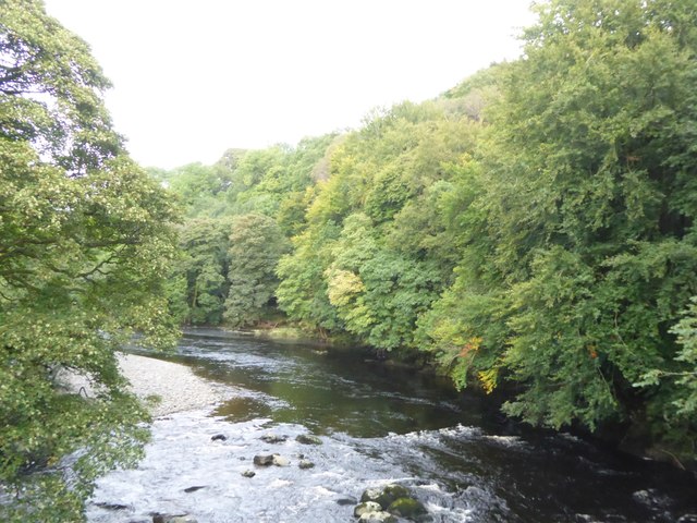
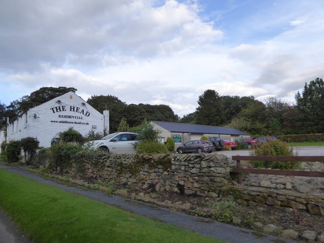
Images are sourced within 2km of 54.299725/-2.5547959 or Grid Reference SD6389. Thanks to Geograph Open Source API. All images are credited.

The Middleton Head A pub on the A683 south of Sedbergh. Named as the Railway Tavern, a 'beer house', on the 1899 map.  There was a railway station nearby on the Ingleton and Tebay line until passenger services ceased in 1931, but the fact that the tavern was several hundred metres away suggests it pre-dates the opening of the railway in 1861.
The Middleton Head
A pub on the A683 south of Sedbergh. Named as the Railway Tavern, a 'beer house', on the 1899 map. There was a railway station nearby on the Ingleton and Tebay line until passenger services ceased in 1931, but the fact that the tavern was several hundred metres away suggests it pre-dates the opening of the railway in 1861.
Rash Mill and chapel A grade II listed 18th century water-powered corn mill (left) with at right a Methodist chapel. See <a href="https://www.geograph.org.uk/photo/4500266">SD6589 : Rash Bridge</a> for a closer view of the mill.   The chapel was closed, and from the amount of cobweb across the door I expect it had not been opened since the start of the Covid-19 pandemic some 17 months earlier.
Rash Mill and chapel
A grade II listed 18th century water-powered corn mill (left) with at right a Methodist chapel. See SD6589 : Rash Bridge for a closer view of the mill. The chapel was closed, and from the amount of cobweb across the door I expect it had not been opened since the start of the Covid-19 pandemic some 17 months earlier.
Rash Mill Cottage and outbuildings
Farm building SE of Rash Bridge
Farm buildings beside road SE of Rash Bridge
Bridge taking Mill Lane over River Dee
Rash Mill Cottage and outbuildings
Looking southeast along River Dee from Rash Bridge
Looking northwest along River Dee from Rash Bridge
View to Rash Bridge from road on SW side of River Dee
Dent Foot Methodist Chapel and Rash Mill
Dent Foot Methodist Chapel The notice on the door reports 'chapel now closed'
Dent Foot Methodist Chapel
The notice on the door reports 'chapel now closed'
Northwest face of Rash Mill
Dent Foot Methodist Chapel A sign on the door reads 'CHAPEL NOW CLOSED'
Dent Foot Methodist Chapel
A sign on the door reads 'CHAPEL NOW CLOSED'
Stangerthwaite Ford This ford on the River Lune is found on the track to Stangerthwaite.
Stangerthwaite Ford
This ford on the River Lune is found on the track to Stangerthwaite.
Middleton Bridge, over the River Rawthey
The River Rawthey from Middleton Bridge
The Head Inn at Middleton Head Formerly the Railway Tavern; the LNWR line ran parallel to the road here
The Head Inn at Middleton Head
Formerly the Railway Tavern; the LNWR line ran parallel to the road here
Show me another place!

Middleton Fell is located at Grid Ref: SD6389 (Lat: 54.299725, Lng: -2.5547959)

Administrative County: Cumbria

District: South Lakeland

Police Authority: Cumbria

What 3 Words

///reminder.vies.essential. Near Sedbergh, Cumbria

Related Wikis

River Rawthey

The River Rawthey is a river in Cumbria in northwest England. The headwaters of the Rawthey are at Rawthey Gill Foot, where Rawthey Gill meets Haskhaw...

Brigflatts Meeting House

Brigflatts Meeting House or Briggflatts Meeting House is a Friends Meeting House of the Religious Society of Friends (Quakers), near Sedbergh, Cumbria...

River Dee, Cumbria

The River Dee is a river running through the extreme south east of Cumbria, a part of the Craven region traditionally part of the West Riding of Yorkshire...

Middleton-on-Lune railway station

Middleton-on-Lune railway station was located in Westmorland, England, (now in Cumbria), serving the hamlet and rural locale of Middleton on the Ingleton...

Nearby Amenities

Located within 500m of 54.299725,-2.5547959
Natural: spring
Lat/Long: 54.3015386/-2.5480612
Natural: spring
Lat/Long: 54.3013508/-2.5571164
Natural: spring
Lat/Long: 54.2986837/-2.560614
Natural: spring
Lat/Long: 54.2990469/-2.560378
Natural: spring
Lat/Long: 54.3005995/-2.5582751
Newclose Wood
Natural: woodland
Source: OS OpenData StreetView
Lat/Long: 54.3010057/-2.5586295
Jordan Wood
Natural: woodland
Source: OS OpenData StreetView
Lat/Long: 54.3027837/-2.5599813
Power: pole
Lat/Long: 54.2987461/-2.5618342
Power: pole
Lat/Long: 54.2995647/-2.5615338
Power: pole
Lat/Long: 54.3002127/-2.5612789
Power: pole
Lat/Long: 54.3008998/-2.5610215
Power: pole
Lat/Long: 54.3016808/-2.5607264
Power: pole
Lat/Long: 54.3026543/-2.5603697
The data included in this document is from www.openstreetmap.org. The data is made available under ODbL.

Have you been to Middleton Fell?

Leave your review of Middleton Fell below (or comments, questions and feedback).