Newclose Wood
Wood, Forest in Westmorland South Lakeland
England
Newclose Wood
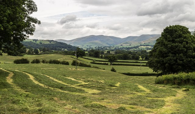
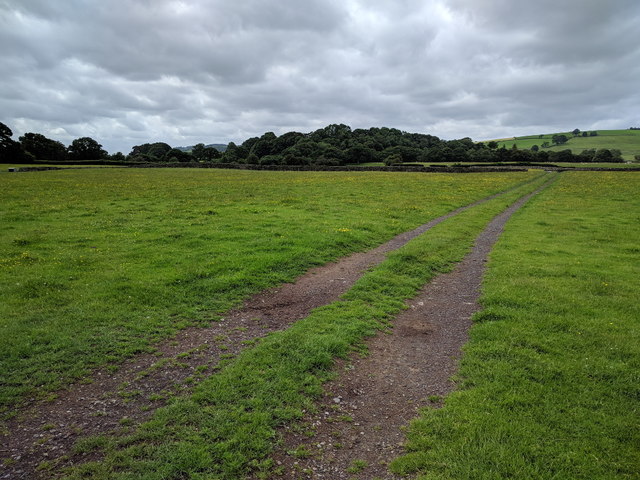
Newclose Wood is a picturesque woodland located in the region of Westmorland, England. It covers an area of approximately 50 acres and is known for its natural beauty and diverse wildlife. The wood is situated in a rural setting, surrounded by rolling hills and farmland, providing a tranquil and peaceful environment for visitors.
The wood is primarily composed of broadleaf trees, including oak, beech, and ash, which create a dense canopy overhead. This canopy allows for limited sunlight to penetrate the forest floor, resulting in a unique ecosystem of shade-loving plants and mosses. The undergrowth is rich in ferns, bluebells, and wood anemones, adding a splash of color to the woodland.
Newclose Wood is home to a variety of animal species, making it a popular spot for nature lovers and birdwatchers. Visitors may have the chance to spot woodland birds such as great spotted woodpeckers, nuthatches, and treecreepers. The wood is also a haven for mammals, including roe deer, foxes, and badgers, which can often be seen foraging or playing in the undergrowth.
The wood is crisscrossed with a network of footpaths, providing ample opportunities for leisurely strolls and nature walks. There are several benches scattered throughout the wood, allowing visitors to rest and take in the peaceful surroundings. The wood is open to the public year-round, and there is no admission fee, making it an accessible and enjoyable destination for nature enthusiasts and families alike.
Overall, Newclose Wood in Westmorland is a charming and biodiverse woodland that offers a serene escape from the hustle and bustle of everyday life.
If you have any feedback on the listing, please let us know in the comments section below.
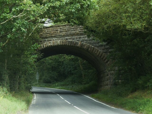
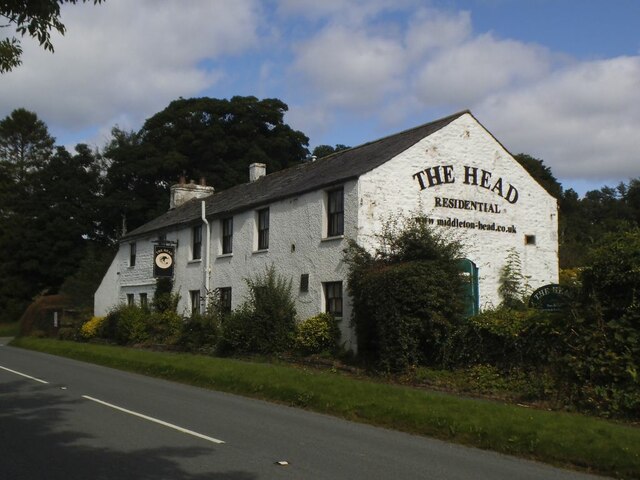
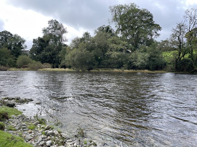
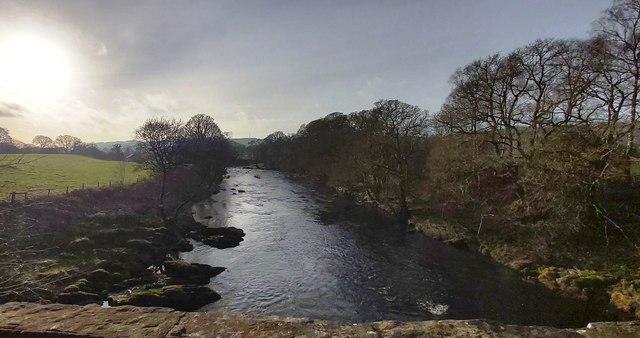
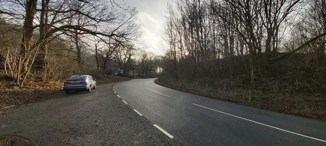
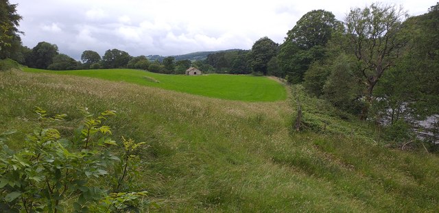
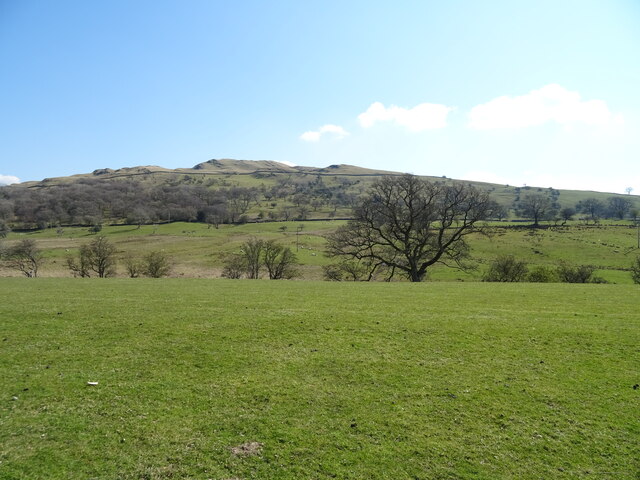
Newclose Wood Images
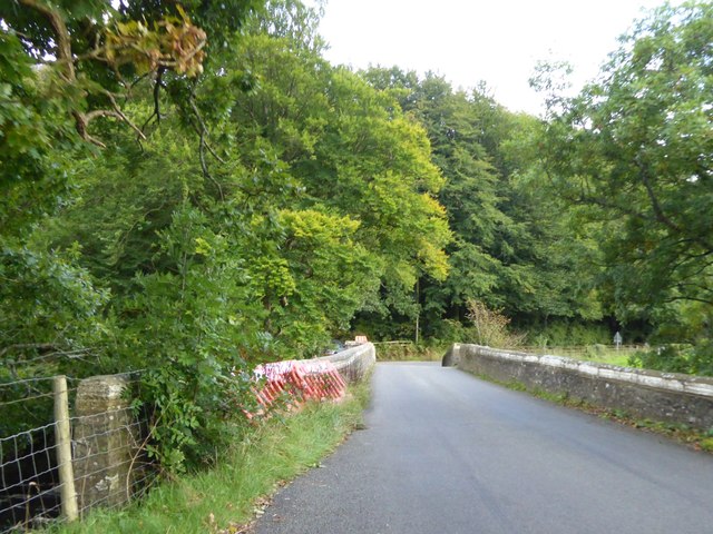
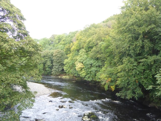
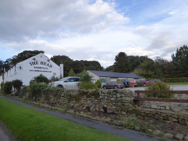
Images are sourced within 2km of 54.301029/-2.5585014 or Grid Reference SD6389. Thanks to Geograph Open Source API. All images are credited.


Newclose Wood is located at Grid Ref: SD6389 (Lat: 54.301029, Lng: -2.5585014)
Administrative County: Cumbria
District: South Lakeland
Police Authority: Cumbria
What 3 Words
///weeded.punctuate.parts. Near Sedbergh, Cumbria
Nearby Locations
Related Wikis

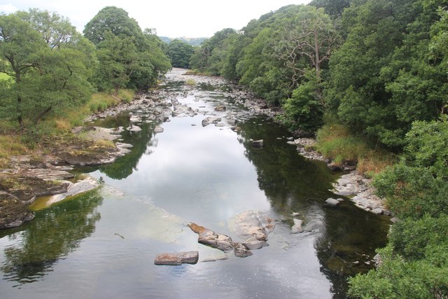
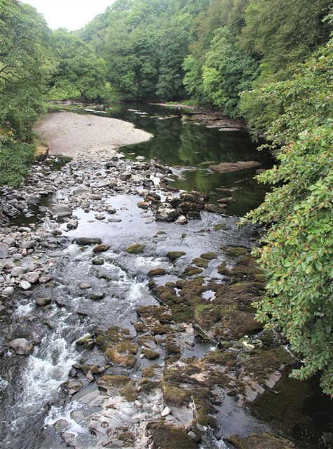
River Rawthey
The River Rawthey is a river in Cumbria in northwest England. The headwaters of the Rawthey are at Rawthey Gill Foot, where Rawthey Gill meets Haskhaw...

Brigflatts Meeting House
Brigflatts Meeting House or Briggflatts Meeting House is a Friends Meeting House of the Religious Society of Friends (Quakers), near Sedbergh, Cumbria...

River Dee, Cumbria
The River Dee is a river running through the extreme south east of Cumbria, a part of the Craven region traditionally part of the West Riding of Yorkshire...

Middleton-on-Lune railway station
Middleton-on-Lune railway station was located in Westmorland, England, (now in Cumbria), serving the hamlet and rural locale of Middleton on the Ingleton...
Nearby Amenities
Located within 500m of 54.301029,-2.5585014Have you been to Newclose Wood?
Leave your review of Newclose Wood below (or comments, questions and feedback).