Sandiford Wood
Wood, Forest in Lancashire Ribble Valley
England
Sandiford Wood
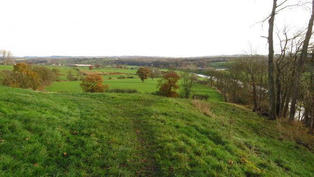
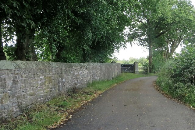
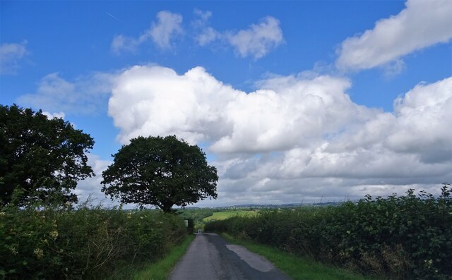
Sandiford Wood is a picturesque woodland located in Lancashire, England. Covering an area of approximately 100 acres, this enchanting forest is a haven for nature lovers and outdoor enthusiasts alike. The wood is situated near the village of Sandiford, which gives it its name, and is easily accessible by both car and public transportation.
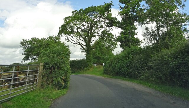
The woodland is predominantly made up of native tree species such as oak, beech, and birch, creating a diverse and vibrant ecosystem. Walking through the forest, visitors can enjoy the peaceful ambiance and observe the abundant wildlife that calls Sandiford Wood its home. Squirrels scurrying up trees, birds chirping in the canopy, and the occasional deer grazing in clearings are just some of the sights one may encounter.
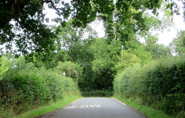
There are several well-maintained walking trails that wind through the wood, allowing visitors to explore its beauty at their own pace. These trails range in difficulty, making them suitable for both casual strollers and more experienced hikers. Along the way, informative signs provide interesting facts about the local flora and fauna, enhancing the educational aspect of the woodland experience.
For those seeking a tranquil escape from the hustle and bustle of everyday life, Sandiford Wood offers the perfect retreat. Whether it's a leisurely stroll, a family picnic, or birdwatching, this idyllic forest has something to offer for everyone. With its natural beauty and serene atmosphere, Sandiford Wood is an enchanting destination that should not be missed by nature enthusiasts visiting Lancashire.
If you have any feedback on the listing, please let us know in the comments section below.
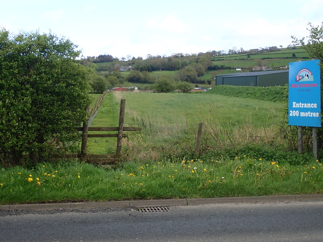
Sandiford Wood Images
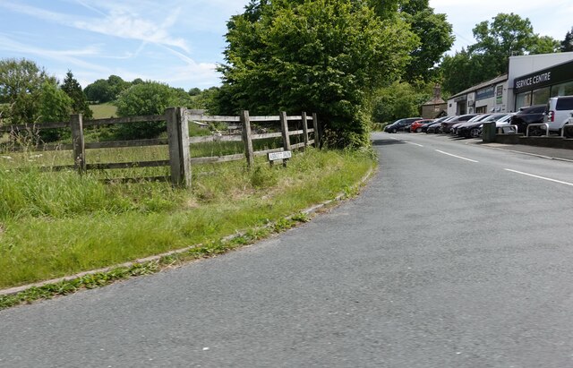
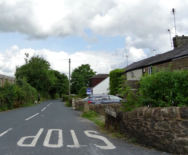
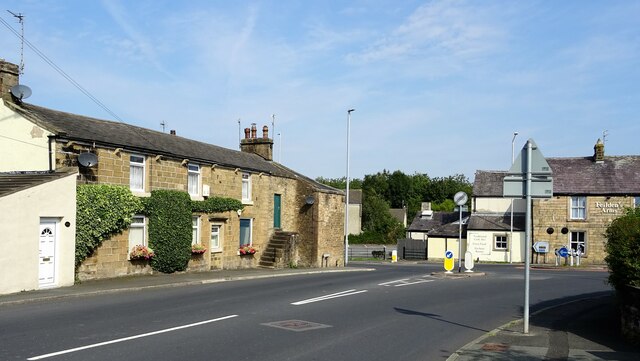
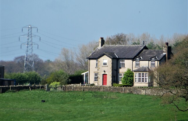
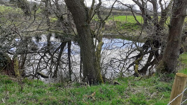
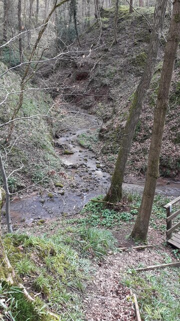
Images are sourced within 2km of 53.793219/-2.5517909 or Grid Reference SD6333. Thanks to Geograph Open Source API. All images are credited.

Sandiford Wood is located at Grid Ref: SD6333 (Lat: 53.793219, Lng: -2.5517909)
Administrative County: Lancashire
District: Ribble Valley
Police Authority: Lancashire
What 3 Words
///gathering.majoring.droplet. Near Longridge, Lancashire
Nearby Locations
Related Wikis

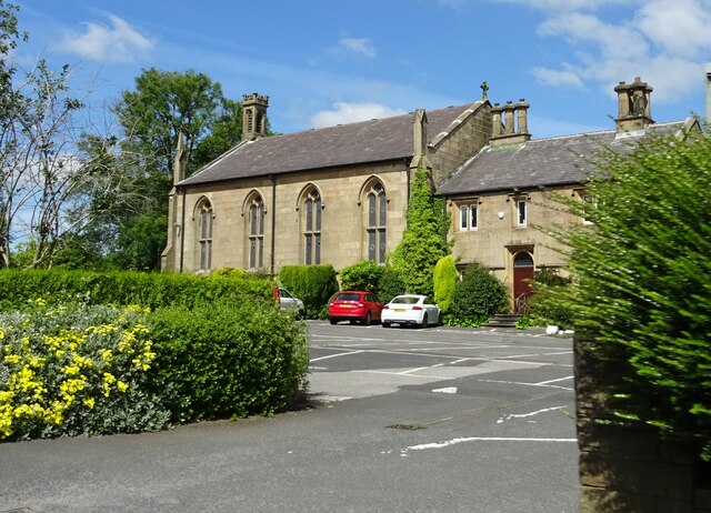
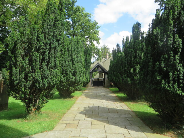
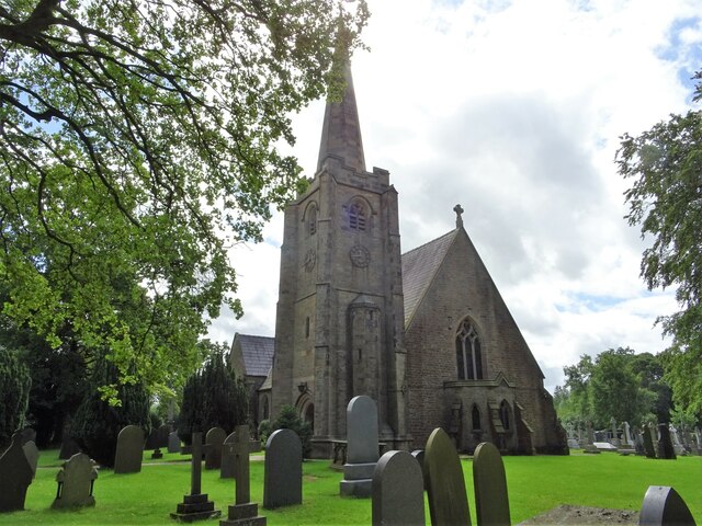
St Leonard's Church, Balderstone
St Leonard's Church is in the village of Balderstone, Lancashire, England. It is an active Anglican parish church in the deanery of Whalley, the archdeaconry...

Balderstone, Lancashire
Balderstone is a village and civil parish in the Ribble Valley district of Lancashire, England. The population of the Civil Parish taken at the 2021 census...

Osbaldeston
Osbaldeston is a village and civil parish in Lancashire, England about 3+1⁄4 miles (5.2 km) north-west of Blackburn and 7 miles (11.3 km) east of Preston...

Mellor Brook
Mellor Brook is a village which straddles the borders of the Boroughs of Ribble Valley and South Ribble in Lancashire, England. The village population...
Nearby Amenities
Located within 500m of 53.793219,-2.5517909Have you been to Sandiford Wood?
Leave your review of Sandiford Wood below (or comments, questions and feedback).