Mercyfield Wood
Wood, Forest in Lancashire Ribble Valley
England
Mercyfield Wood
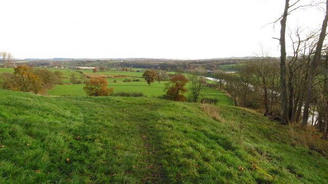
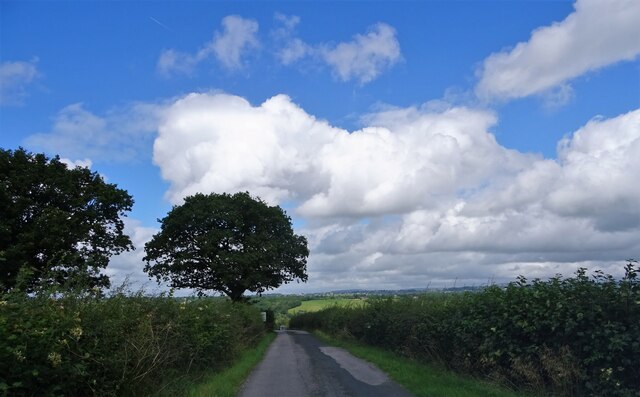
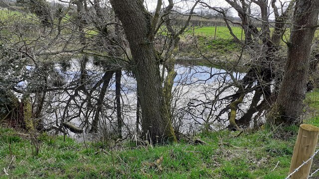
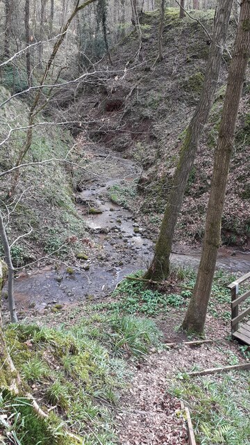
Mercyfield Wood, located in the county of Lancashire, is a charming forest that spans over a vast area. It is a popular destination for nature lovers, hikers, and wildlife enthusiasts alike. The wood is situated in a picturesque landscape with rolling hills, meandering streams, and a diverse range of flora and fauna.
The wood is predominantly made up of deciduous trees such as oak, beech, and birch, which create a stunning display of colors during the autumn season. The canopy formed by the trees provides a peaceful and serene atmosphere, making it an ideal spot for relaxation and meditation.
Mercyfield Wood is home to a variety of wildlife species. Visitors may spot deer, foxes, badgers, and a plethora of bird species, including woodpeckers, owls, and songbirds. The wood also hosts several nature trails and walking paths, allowing visitors to explore the area and appreciate the natural beauty.
In addition to its natural wonders, Mercyfield Wood offers recreational activities for visitors of all ages. There are picnic areas, designated camping spots, and even a small visitor center where tourists can learn more about the wood's history and conservation efforts. The wood is also equipped with basic facilities such as toilets and parking spaces to ensure a comfortable visit for all.
Overall, Mercyfield Wood is a haven for nature enthusiasts seeking tranquility and an opportunity to immerse themselves in the beauty of the Lancashire countryside. Its stunning landscapes, diverse wildlife, and recreational facilities make it a must-visit destination for locals and tourists alike.
If you have any feedback on the listing, please let us know in the comments section below.
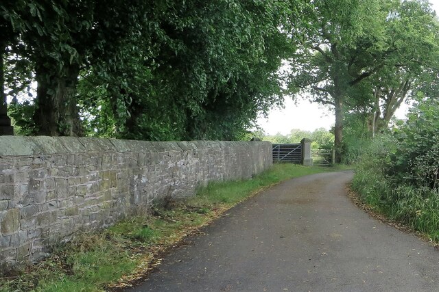
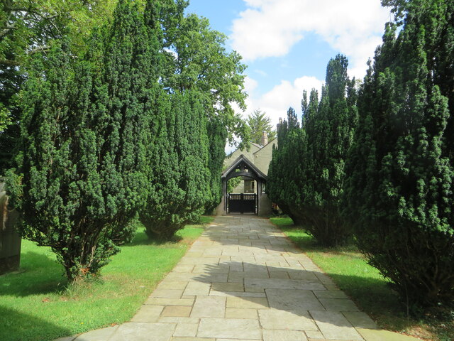
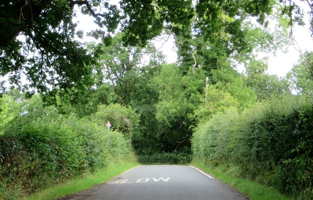
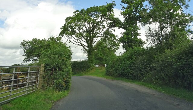
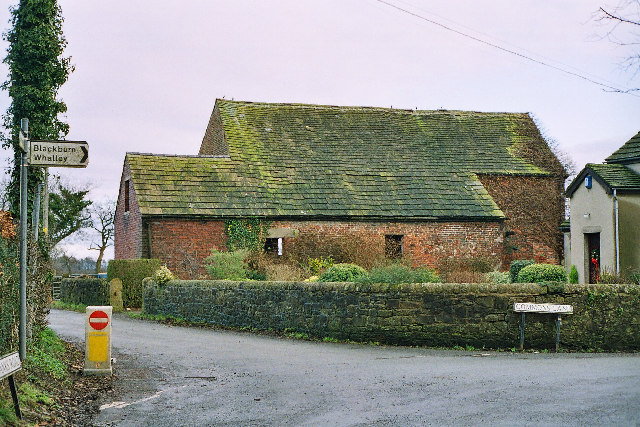
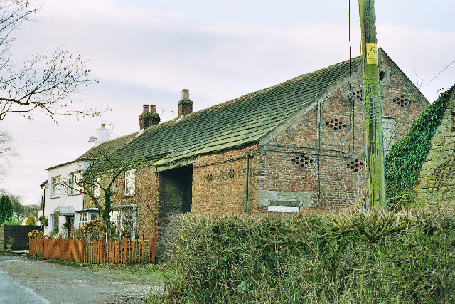
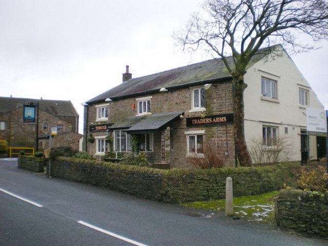
Mercyfield Wood Images
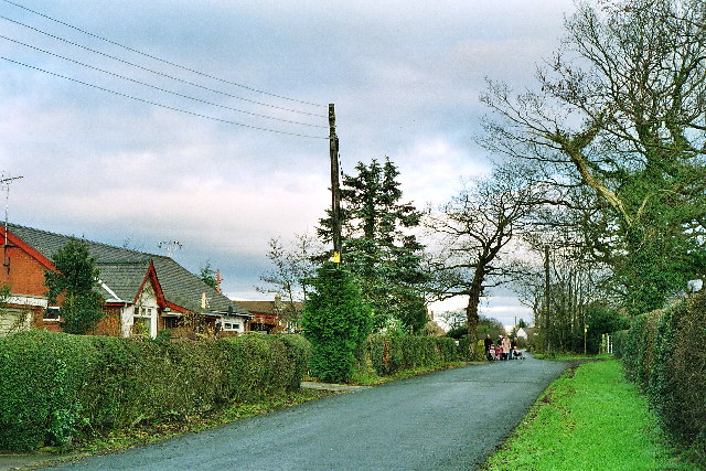
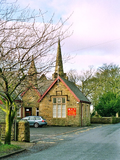
Images are sourced within 2km of 53.793915/-2.5567793 or Grid Reference SD6333. Thanks to Geograph Open Source API. All images are credited.
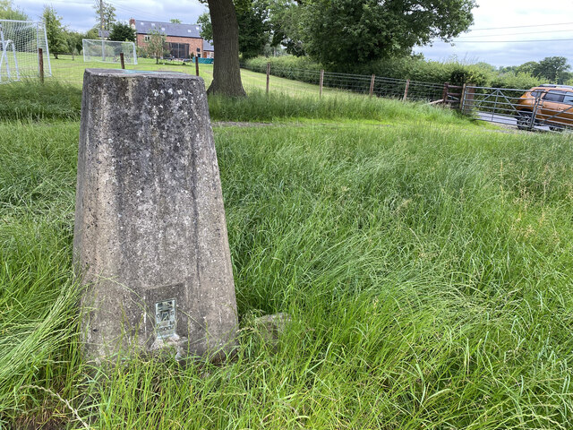
Mercyfield Wood is located at Grid Ref: SD6333 (Lat: 53.793915, Lng: -2.5567793)
Administrative County: Lancashire
District: Ribble Valley
Police Authority: Lancashire
What 3 Words
///sues.lives.resembles. Near Longridge, Lancashire
Nearby Locations
Related Wikis

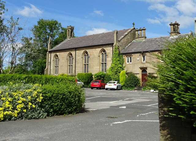
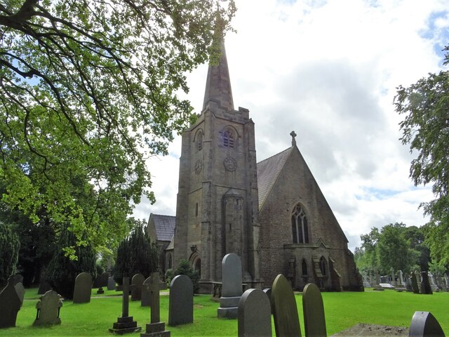
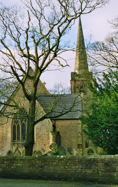
St Leonard's Church, Balderstone
St Leonard's Church is in the village of Balderstone, Lancashire, England. It is an active Anglican parish church in the deanery of Whalley, the archdeaconry...

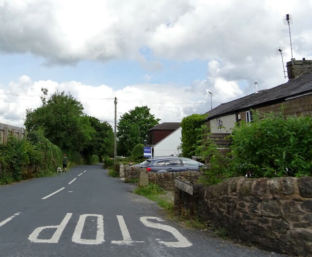
Balderstone, Lancashire
Balderstone is a village and civil parish in the Ribble Valley district of Lancashire, England. The population of the Civil Parish taken at the 2021 census...

Osbaldeston
Osbaldeston is a village and civil parish in Lancashire, England about 3+1⁄4 miles (5.2 km) north-west of Blackburn and 7 miles (11.3 km) east of Preston...

Mellor Brook
Mellor Brook is a village which straddles the borders of the Boroughs of Ribble Valley and South Ribble in Lancashire, England. The village population...
Mellor, Lancashire
Mellor is a village situated in the Borough of Ribble Valley in Lancashire, England. The population of the civil parish at the census of 2011 was 2,262...

St Wilfrid's Church, Ribchester
St Wilfrid's Church is an Anglican church in the village of Ribchester in Lancashire, England that is situated close to the site of a Roman fort. It is...

Ribchester Roman Museum
Ribchester Roman Museum (officially the Ribchester Roman Museum of Roman Antiquities) is located in the village of Ribchester, Lancashire, England. It...

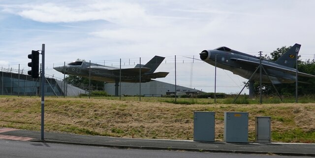
Samlesbury Aerodrome
Samlesbury Aerodrome is a disused airfield at Balderstone near Samlesbury and Blackburn in the Ribble Valley district of Lancashire. The aerodrome is owned...
Nearby Amenities
Located within 500m of 53.793915,-2.5567793Have you been to Mercyfield Wood?
Leave your review of Mercyfield Wood below (or comments, questions and feedback).