Cassey Grove

Wood, Forest in Gloucestershire

England

Cassey Grove

Fingerpost over a village pump At the bottom of the High St, Thornbury. The location is also called  "The Plain". This fingerpost hangs over a village pump within a horseshoe of iron railings. Context (reverse) view see <a href="https://www.geograph.org.uk/photo/7020690">ST6390 : Village Pump & fingerpost, High Street</a>

Inscription: To Gloucester ☛

Milestone Society National ID: GL_ST6390
Fingerpost over a village pump Credit: Mr Red

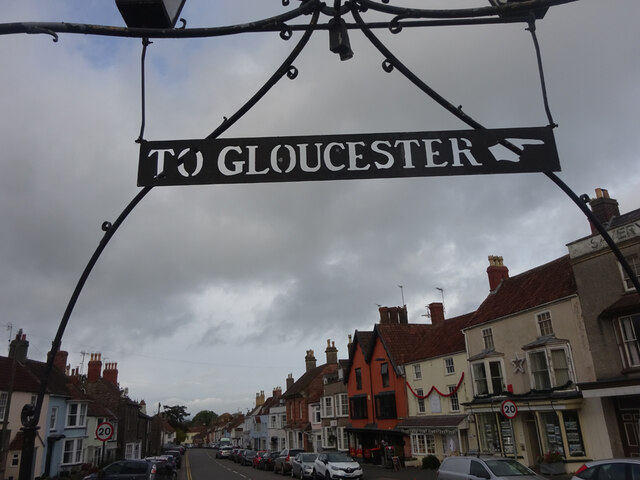
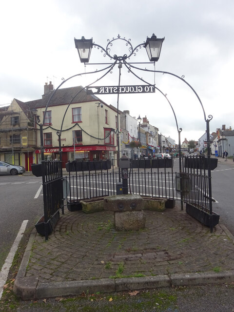
Cassey Grove is a small village located in the county of Gloucestershire, England. Situated in the heart of the Forest of Dean, it is renowned for its picturesque woodland setting and rich natural beauty. The village is nestled amongst dense trees and is surrounded by a tranquil and serene environment, offering residents and visitors a peaceful retreat from the hustle and bustle of city life.

The area is characterized by its dense forest cover, with towering oak, beech, and pine trees dominating the landscape. This lush woodland provides a habitat for a diverse range of wildlife, including deer, badgers, and various bird species. Nature enthusiasts and outdoor lovers are drawn to Cassey Grove for its numerous walking trails and cycling routes that wind through the forest, allowing visitors to immerse themselves in nature and take in the stunning surroundings.

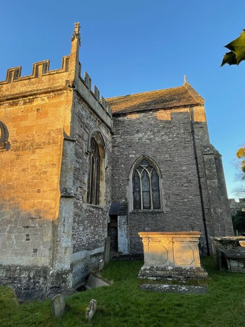
Despite its small size, Cassey Grove boasts a strong community spirit, with a close-knit population that takes pride in its village. The village center is quaint and charming, with a handful of local shops, a village hall, and a historic pub serving as gathering places for residents. The pub, in particular, is a popular spot for locals and visitors alike, offering a warm and friendly atmosphere where people can relax and socialize.

Overall, Cassey Grove is a hidden gem within the Forest of Dean, offering a peaceful and idyllic setting for those seeking an escape into nature. Its natural beauty, coupled with its strong community spirit, makes it a delightful place to visit or call home.

If you have any feedback on the listing, please let us know in the comments section below.
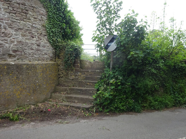
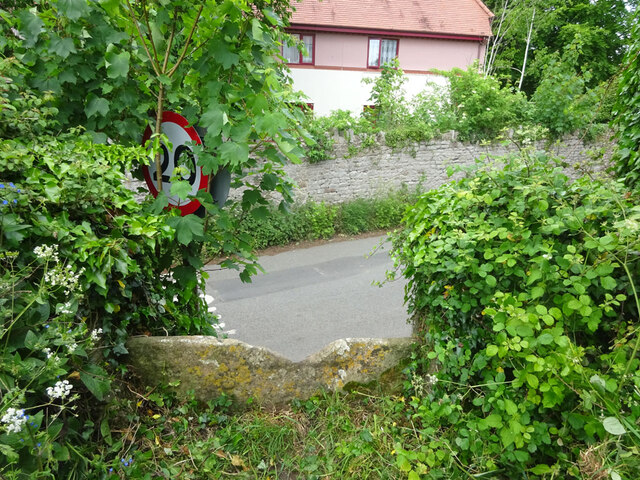
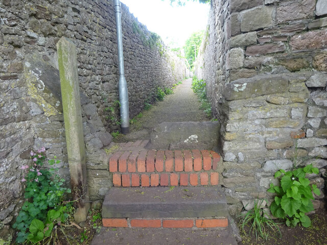
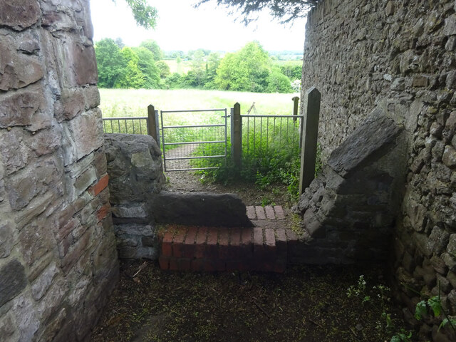
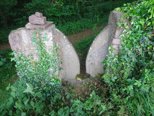
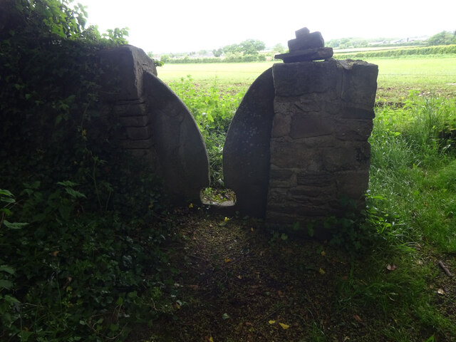
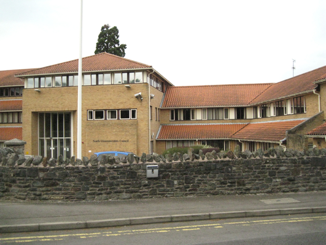
Cassey Grove Images

Images are sourced within 2km of 51.598656/-2.5295011 or Grid Reference ST6389. Thanks to Geograph Open Source API. All images are credited.

Fingerpost over a village pump At the bottom of the High St, Thornbury. The location is also called  "The Plain". This fingerpost hangs over a village pump within a horseshoe of iron railings. Context (reverse) view see <a href="https://www.geograph.org.uk/photo/7020690">ST6390 : Village Pump & fingerpost, High Street</a>

Inscription: To Gloucester ☛

Milestone Society National ID: GL_ST6390
Fingerpost over a village pump
At the bottom of the High St, Thornbury. The location is also called "The Plain". This fingerpost hangs over a village pump within a horseshoe of iron railings. Context (reverse) view see ST6390 : Village Pump & fingerpost, High Street Inscription: To Gloucester ☛ Milestone Society National ID: GL_ST6390
Village Pump & fingerpost, High Street Bottom of the High Street, Thornbury. The location is also called  "The Plain". Surrounded by railings in a horseshoe pattern, with a fingerpost sign hanging above. Twin, old fashioned style lamps above. Obverse view of fingerpost see <a href="https://www.geograph.org.uk/photo/7020649">ST6390 : Fingerpost over a village pump</a>

Inscription: To Gloucester ☛

Milestone Society National ID: GL_ST6390
Village Pump & fingerpost, High Street
Bottom of the High Street, Thornbury. The location is also called "The Plain". Surrounded by railings in a horseshoe pattern, with a fingerpost sign hanging above. Twin, old fashioned style lamps above. Obverse view of fingerpost see ST6390 : Fingerpost over a village pump Inscription: To Gloucester ☛ Milestone Society National ID: GL_ST6390
Flush Bracket OSBM 102: Thornbury, St. Mary's Church This Ordnance Survey benchmark is located on a small buttress in an internal angle near the south-east corner of the church.  See <a title="https://www.geograph.org.uk/photo/7074287" href="https://www.geograph.org.uk/photo/7074287">Link</a> for a wider view and <span class="nowrap"><a title="https://www.bench-marks.org.uk/bm9770" rel="nofollow ugc noopener" href="https://www.bench-marks.org.uk/bm9770">Link</a><img style="margin-left:2px;" alt="External link" title="External link - shift click to open in new window" src="https://s1.geograph.org.uk/img/external.png" width="10" height="10"/></span> for details of the mark.
Flush Bracket OSBM 102: Thornbury, St. Mary's Church
This Ordnance Survey benchmark is located on a small buttress in an internal angle near the south-east corner of the church. See Link for a wider view and LinkExternal link for details of the mark.
Part of Thornbury Church An Ordnance Survey benchmark is located on the small buttress in the internal angle shown near the south-east corner of the church.  See <a title="https://www.geograph.org.uk/photo/7074281" href="https://www.geograph.org.uk/photo/7074281">Link</a> for a closer view and <span class="nowrap"><a title="https://www.bench-marks.org.uk/bm9770" rel="nofollow ugc noopener" href="https://www.bench-marks.org.uk/bm9770">Link</a><img style="margin-left:2px;" alt="External link" title="External link - shift click to open in new window" src="https://s1.geograph.org.uk/img/external.png" width="10" height="10"/></span> for details of the mark.
Part of Thornbury Church
An Ordnance Survey benchmark is located on the small buttress in the internal angle shown near the south-east corner of the church. See Link for a closer view and LinkExternal link for details of the mark.
Stone Stile, Thornbury Of Kington Lane on Gloucestershire footpath OTH/43 leading ultimately to Munday Playing Fields. The view looking back to the road is <a href="https://www.geograph.org.uk/photo/7175478">ST6389 : Stone Stile, Thornbury</a>.
Stone Stile, Thornbury
Of Kington Lane on Gloucestershire footpath OTH/43 leading ultimately to Munday Playing Fields. The view looking back to the road is ST6389 : Stone Stile, Thornbury.
Stone Stile, Thornbury Of Kington Lane on Gloucestershire footpath OTH/43 leading ultimately to Munday Playing Fields. The view looking from the road is <a href="https://www.geograph.org.uk/photo/7175482">ST6390 : Stone Stile, Thornbury</a>.
Stone Stile, Thornbury
Of Kington Lane on Gloucestershire footpath OTH/43 leading ultimately to Munday Playing Fields. The view looking from the road is ST6390 : Stone Stile, Thornbury.
Stone Stile, Thornbury From Castle Street on Gloucestershire walled footpath OTH/46 as it enters the field. This is looking into the path, the view looking out is <a href="https://www.geograph.org.uk/photo/7175500">ST6390 : Stone Stile, Thornbury</a>.
Stone Stile, Thornbury
From Castle Street on Gloucestershire walled footpath OTH/46 as it enters the field. This is looking into the path, the view looking out is ST6390 : Stone Stile, Thornbury.
Stone Stile, Thornbury From Castle Street on Gloucestershire walled footpath OTH/46 as it enters the field. This is looking from the path, the view looking back is <a href="https://www.geograph.org.uk/photo/7175499">ST6390 : Stone Stile, Thornbury</a>.
Stone Stile, Thornbury
From Castle Street on Gloucestershire walled footpath OTH/46 as it enters the field. This is looking from the path, the view looking back is ST6390 : Stone Stile, Thornbury.
Stone Stile, Thornbury Beside Gloucestershire footpath OTH/35 looking SE in a copse. The view looking out of the woods is <a href="https://www.geograph.org.uk/photo/7175556">ST6290 : Stone Stile, Thornbury</a>.
Stone Stile, Thornbury
Beside Gloucestershire footpath OTH/35 looking SE in a copse. The view looking out of the woods is ST6290 : Stone Stile, Thornbury.
Stone Stile, Thornbury Beside Gloucestershire footpath OTH/35 looking NW from a copse. The view looking into the woods is <a href="https://www.geograph.org.uk/photo/7175553">ST6290 : Stone Stile, Thornbury</a>.
Stone Stile, Thornbury
Beside Gloucestershire footpath OTH/35 looking NW from a copse. The view looking into the woods is ST6290 : Stone Stile, Thornbury.
Thornbury Castle from the walled garden
Stone Stile, Thornbury On Gloucestershire footpath OTH/45 looking from the direction of Kington Lane and Hollow Meadow View.
The view looking back is <a href="https://www.geograph.org.uk/photo/7346341">ST6390 : Stone Stile, Thornbury</a>.
Stone Stile, Thornbury
On Gloucestershire footpath OTH/45 looking from the direction of Kington Lane and Hollow Meadow View. The view looking back is ST6390 : Stone Stile, Thornbury.
Stone Stile, Thornbury On Gloucestershire footpath OTH/45 looking in the direction of Kington Lane and Hollow Meadow View.
The view looking back is <a href="https://www.geograph.org.uk/photo/7346339">ST6390 : Stone Stile, Thornbury</a>.
Stone Stile, Thornbury
On Gloucestershire footpath OTH/45 looking in the direction of Kington Lane and Hollow Meadow View. The view looking back is ST6390 : Stone Stile, Thornbury.
Thornbury High Street Pedestrian friendly town centre (under construction).
Thornbury High Street
Pedestrian friendly town centre (under construction).
Raglan Place, Thornbury
Alveston church St Helens. 
Looking SW from position
Alveston church
St Helens. Looking SW from position
Dutch Barn on New Lane A side lane leading from a layby on the A38 near Alveston crosses a countryside footpath near this dutch barn, used for storing cattle fodder.
Dutch Barn on New Lane
A side lane leading from a layby on the A38 near Alveston crosses a countryside footpath near this dutch barn, used for storing cattle fodder.
Village in the Mist Small community on the section of Shellards Lane between the end of New Lane and the A38, on the outskirts of Alveston
Village in the Mist
Small community on the section of Shellards Lane between the end of New Lane and the A38, on the outskirts of Alveston
Show me another place!

Cassey Grove is located at Grid Ref: ST6389 (Lat: 51.598656, Lng: -2.5295011)

Unitary Authority: South Gloucestershire

Police Authority: Avon and Somerset

What 3 Words

///roadblock.whizzing.lobster. Near Alveston, Gloucestershire

Nearby Locations

Filnore Woods Cassey Grove

Related Wikis

Thornbury (Gloucestershire) railway station

Thornbury railway station served the town of Thornbury in Gloucestershire. The station was the terminus of a short 7.5-mile (12 km) branch from Yate on...

Thornbury Town F.C.

Thornbury Town Football Club is a football club located in Thornbury, South Gloucestershire, England. They are currently members of the Hellenic League...
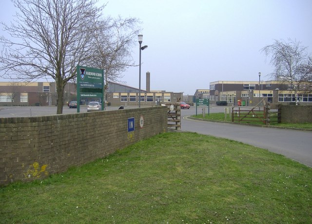
Marlwood School

Marlwood School (founded 1606) is a state-funded secondary school currently part of the CSET academy chain. Located at Alveston, South Gloucestershire...

Northavon

Northavon was a district in the English county of Avon from 1974 to 1996. The district was formed by the Local Government Act 1972 on 1 April 1974 as part...

Northavon (UK Parliament constituency)

Northavon was, from 1983 until 2010, a constituency represented in the House of Commons of the Parliament of the United Kingdom. It elected one Member...

Thornbury Town Hall

Thornbury Town Hall, is a municipal building in the High Street, Thornbury, Gloucestershire, England. The building, which is the meeting place of Thornbury...

Thornbury Rural District

Thornbury Rural District was a rural district council centred on Thornbury in the south of Gloucestershire. It was originally formed as a Poor Law Union...

Alveston

Alveston is a village, civil parish and former royal manor in South Gloucestershire, England, inhabited in 2014 by about 3,000 people. The village lies...

Nearby Amenities

Located within 500m of 51.598656,-2.5295011
Bus Stop
Thornbury Leisure Centre
Bench: yes
Bin: yes
Lit: yes
Naptan AtcoCode: 0170SGP90923
Naptan Bearing: SE
Naptan CommonName: Thornbury Leisure Centre
Naptan NaptanCode: sgldgap
Naptan Street: N/A
Naptan Verified: no
Shelter: yes
Source: naptan_import
Tactile Paving: no
Lat/Long: 51.6015128/-2.5271427
Bus Stop
Thornbury Leisure Centre
Bench: no
Bin: no
Lit: no
Naptan AtcoCode: 0170SGP90924
Naptan Bearing: N
Naptan CommonName: Thornbury Leisure Centre
Naptan NaptanCode: sgldgat
Naptan Street: Bristol Road
Naptan Verified: no
Shelter: no
Source: naptan_import
Tactile Paving: no
Lat/Long: 51.6024931/-2.5270963
Power: tower
Source: Bing
Lat/Long: 51.6007899/-2.5265009
Power: tower
Source: Bing
Lat/Long: 51.6022796/-2.5301787
Barrier: stile
Material: wood
Step Count: 2
Stile: stepover
Lat/Long: 51.6013973/-2.5287232
Power: pole
Source: Bing
Lat/Long: 51.5950784/-2.5257448
Power: pole
Source: Bing
Lat/Long: 51.5951619/-2.5262805
Power: pole
Source: Bing
Lat/Long: 51.5955281/-2.5249601
Power: pole
Source: Bing
Lat/Long: 51.5957056/-2.5262182
Power: pole
Source: Bing
Lat/Long: 51.5958451/-2.5277421
Power: pole
Source: Bing
Lat/Long: 51.5959807/-2.5288107
Power: pole
Source: Bing
Lat/Long: 51.5961068/-2.5298917
Power: pole
Source: Bing
Lat/Long: 51.5973919/-2.523867
Power: pole
Source: Bing
Lat/Long: 51.597995/-2.5244241
Noexit: yes
Lat/Long: 51.6007277/-2.5279805
Entrance: main
Lat/Long: 51.600747/-2.527425
Crossing
Crossing: uncontrolled
Crossing Ref: zebra
Lat/Long: 51.6007752/-2.526725
Barrier: kissing_gate
Bicycle: no
Foot: yes
Horse: no
Motor Vehicle: no
Lat/Long: 51.5945352/-2.5320556
Cafe
Cafe: Re
Addr City: Bristol
Addr Postcode: BS35 3JB
Fhrs Id: 144704
Lat/Long: 51.6006551/-2.5276442
Barrier: stile
Material: wood
Step Count: 2
Stile: stepover
Lat/Long: 51.6015492/-2.5288495
Barrier: stile
Material: wood
Step Count: 4
Stile: stepover
Lat/Long: 51.6010886/-2.5283379
The data included in this document is from www.openstreetmap.org. The data is made available under ODbL.

Have you been to Cassey Grove?

Leave your review of Cassey Grove below (or comments, questions and feedback).