Long Dingle

Valley in Lancashire Ribble Valley

England

Long Dingle

On the Ribble Way descending east from Red Bank near Ribchester
On the Ribble Way descending east from Red Bank near Ribchester Credit: Colin Park

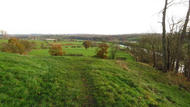
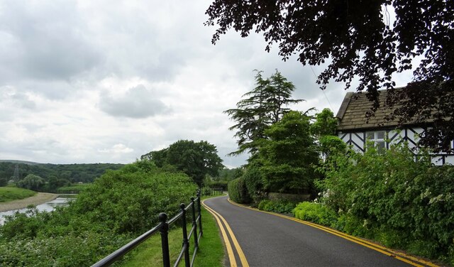
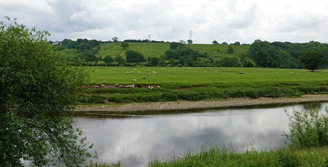
Long Dingle is a picturesque valley located in the county of Lancashire, in the northwest of England. Nestled amidst the rolling hills and verdant countryside, this idyllic valley offers breathtaking natural beauty and a peaceful retreat from the hustle and bustle of city life.

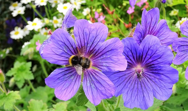
Stretching over several miles, Long Dingle is renowned for its lush green meadows, meandering streams, and dense woodlands. The valley is flanked by gentle slopes, providing stunning panoramic views of the surrounding countryside. The landscape is a haven for wildlife, with an abundance of diverse flora and fauna thriving in the area.

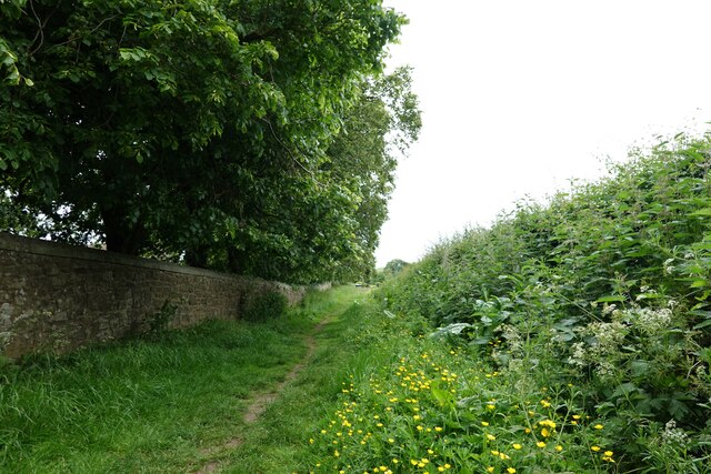
The tranquility of Long Dingle is enhanced by the absence of major roads or bustling urban developments. It is a place where visitors can truly connect with nature, enjoy long walks, and immerse themselves in the serene ambience. The valley is crisscrossed by a network of footpaths and trails, making it a popular destination for hikers, nature enthusiasts, and dog walkers.

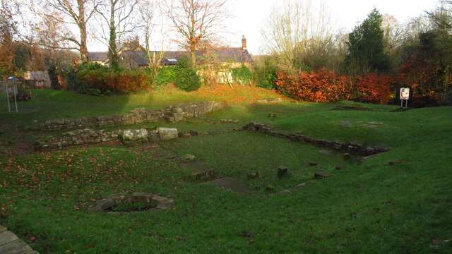
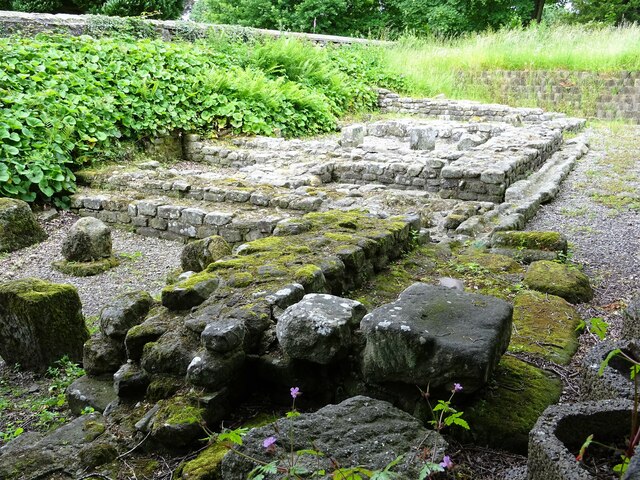
History also weaves its way through Long Dingle, with ancient ruins and remnants of past civilizations scattered throughout the valley. These archaeological sites offer a glimpse into the area's rich and storied past, adding another layer of intrigue to this already enchanting landscape.

Long Dingle is a haven for those seeking solace in nature, where the beauty of Lancashire's countryside is on full display. Whether it's exploring the wooded trails, picnicking by the babbling brooks, or simply taking in the breathtaking vistas, Long Dingle offers an unforgettable experience for visitors of all ages.

If you have any feedback on the listing, please let us know in the comments section below.
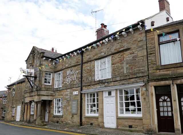
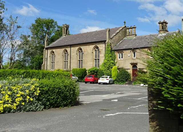
Long Dingle Images

Images are sourced within 2km of 53.797783/-2.5482376 or Grid Reference SD6333. Thanks to Geograph Open Source API. All images are credited.

On the Ribble Way descending east from Red Bank near Ribchester
Ribchester - St Wilfrid's Church
Ribchester - Roman Bath House
White Bull Hotel With its porch supported by its Roman Tuscan columns reportedly
White Bull Hotel
With its porch supported by its Roman Tuscan columns reportedly
St Wilfrid's Church The west tower
St Wilfrid's Church
The west tower
The Granaries, Ribchester Roman remains behind St. Wilfrid's church. The granary here (or horreum in Latin) were over 100 feet long and stored grain for use by the Roman Garrison.
The Granaries, Ribchester
Roman remains behind St. Wilfrid's church. The granary here (or horreum in Latin) were over 100 feet long and stored grain for use by the Roman Garrison.
St. Wilfrid's church The projection with the arched window is the Dutton Choir. Originally one of the Lady Chapels, it was erected in the 14th century and contains a medieval wall painting depicting St. Christopher carrying Christ.
St. Wilfrid's church
The projection with the arched window is the Dutton Choir. Originally one of the Lady Chapels, it was erected in the 14th century and contains a medieval wall painting depicting St. Christopher carrying Christ.
Bee on a cranesbill In St. Wilfrid's churchyard.
Bee on a cranesbill
In St. Wilfrid's churchyard.
Pulpit in St. Wilfrid's church Built in 1636 the pulpit bears the initials of the then Rector, Christopher Hindle. The lectern was dedicated in 1993.
Pulpit in St. Wilfrid's church
Built in 1636 the pulpit bears the initials of the then Rector, Christopher Hindle. The lectern was dedicated in 1993.
Road by the river On the bank of the Ribble.
Road by the river
On the bank of the Ribble.
Well trodden stone steps Outside 62, Church Street in Ribchester. The house was built in 1798 and is Grade II listed.
Well trodden stone steps
Outside 62, Church Street in Ribchester. The house was built in 1798 and is Grade II listed.
Footpath in Ribchester The stone wall on the left encloses St. Wilfrid's churchyard.
Footpath in Ribchester
The stone wall on the left encloses St. Wilfrid's churchyard.
Gate to St. Wilfrid's churchyard
St. Wilfrid's in Ribchester From the chancel, showing the nave and organ loft.
St. Wilfrid's in Ribchester
From the chancel, showing the nave and organ loft.
Sheep grazing On the bank of the River Ribble in Ribchester.
Sheep grazing
On the bank of the River Ribble in Ribchester.
The rectory at St. Wilfrid's On Church Street in Ribchester.
The rectory at St. Wilfrid's
On Church Street in Ribchester.
The White Bull A grade II listed pub in Ribchester.
The White Bull
A grade II listed pub in Ribchester.
St. Mary's Church, Osbaldeston On the A59.
St. Mary's Church, Osbaldeston
On the A59.
Show me another place!

Long Dingle is located at Grid Ref: SD6333 (Lat: 53.797783, Lng: -2.5482376)

Administrative County: Lancashire

District: Ribble Valley

Police Authority: Lancashire

What 3 Words

///wager.tequila.timed. Near Longridge, Lancashire

Related Wikis

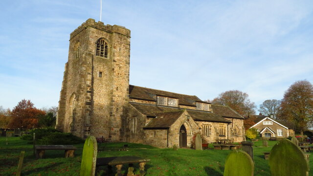
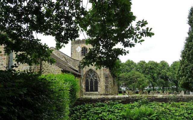
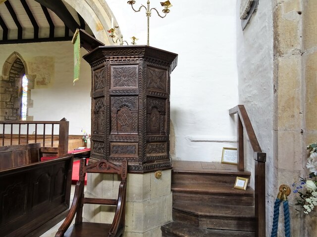
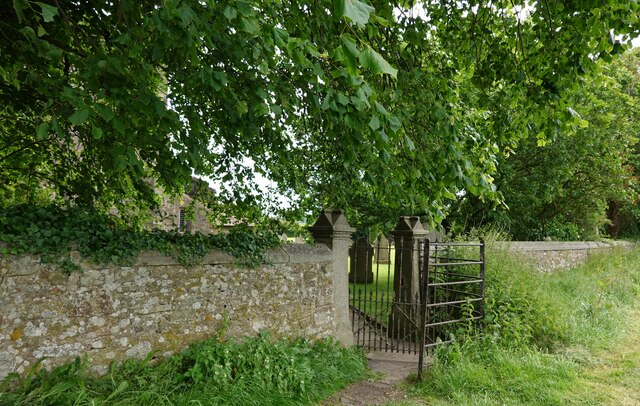
St Leonard's Church, Balderstone

St Leonard's Church is in the village of Balderstone, Lancashire, England. It is an active Anglican parish church in the deanery of Whalley, the archdeaconry...

Balderstone, Lancashire

Balderstone is a village and civil parish in the Ribble Valley district of Lancashire, England. The population of the Civil Parish taken at the 2021 census...

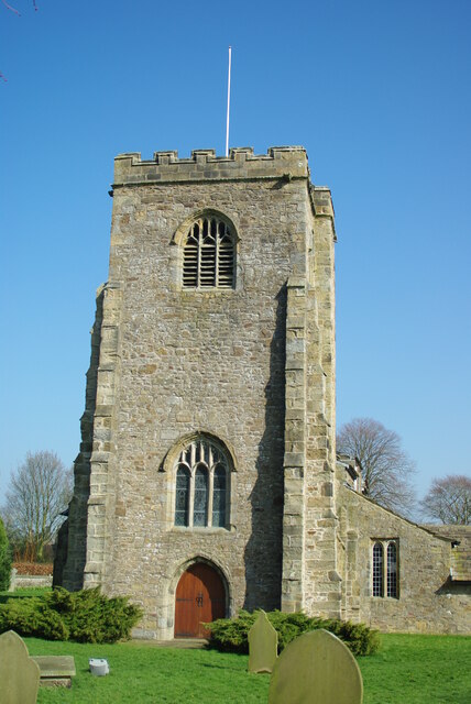
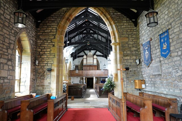
St Wilfrid's Church, Ribchester

St Wilfrid's Church is an Anglican church in the village of Ribchester in Lancashire, England that is situated close to the site of a Roman fort. It is...

Ribchester Roman Museum

Ribchester Roman Museum (officially the Ribchester Roman Museum of Roman Antiquities) is located in the village of Ribchester, Lancashire, England. It...

Nearby Amenities

Located within 500m of 53.797783,-2.5482376
Long Dingle
Natural: wood
Lat/Long: 53.7963456/-2.5457295
The data included in this document is from www.openstreetmap.org. The data is made available under ODbL.

Have you been to Long Dingle?

Leave your review of Long Dingle below (or comments, questions and feedback).