Green Clough
Valley in Yorkshire Ribble Valley
England
Green Clough
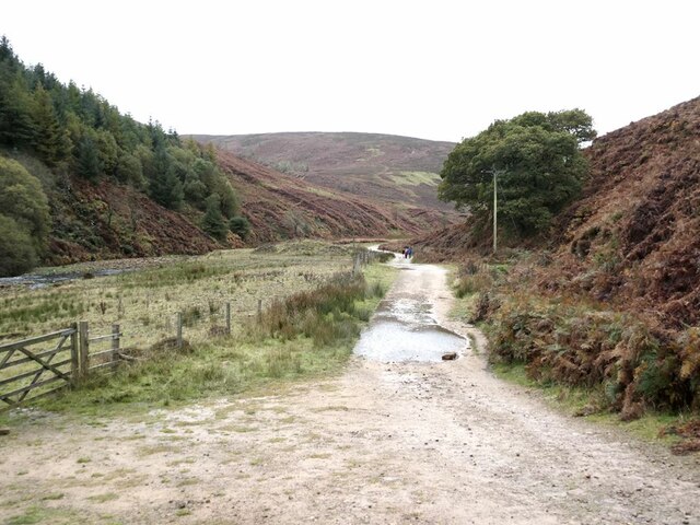
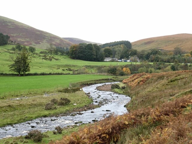
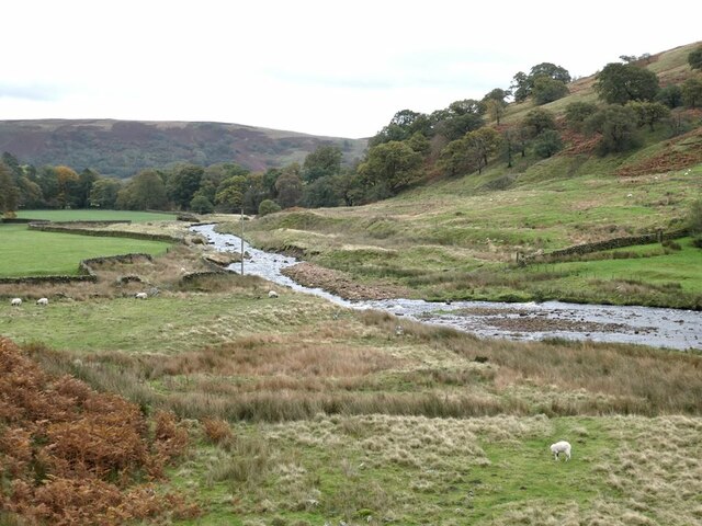
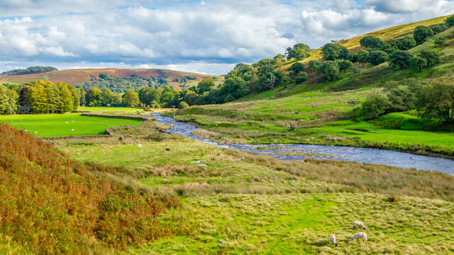
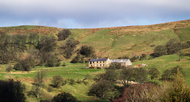
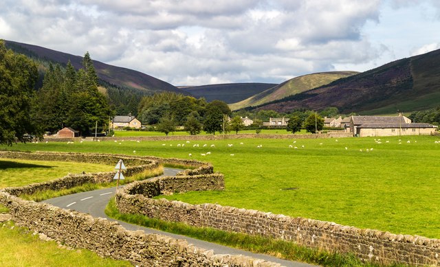
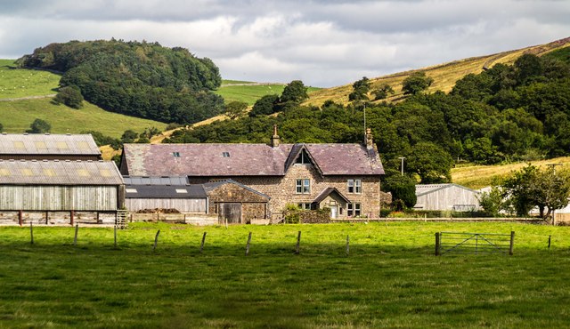
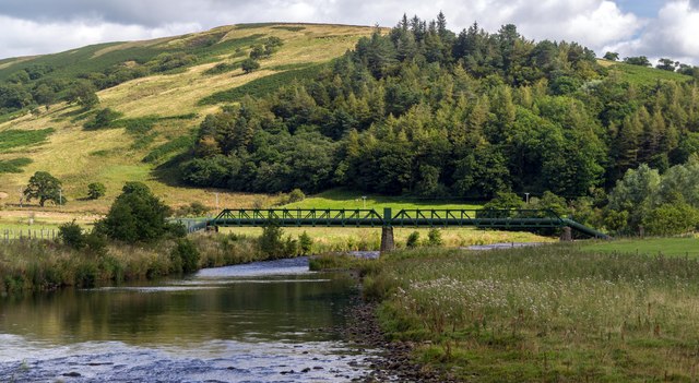
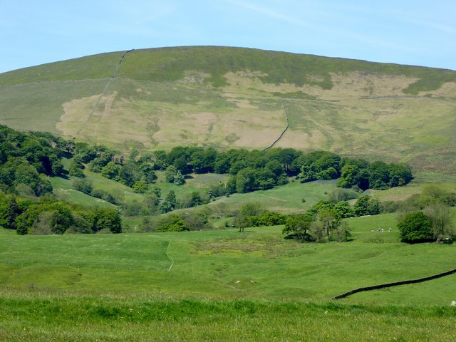
Green Clough is a picturesque valley located in the county of Yorkshire, England. Situated amidst the rolling hills and scenic landscapes, it is a popular destination for nature enthusiasts and hikers alike. The valley is named after the green meadows that adorn its surroundings, offering breathtaking views throughout the year.
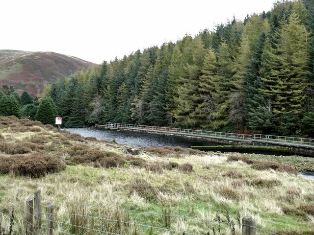
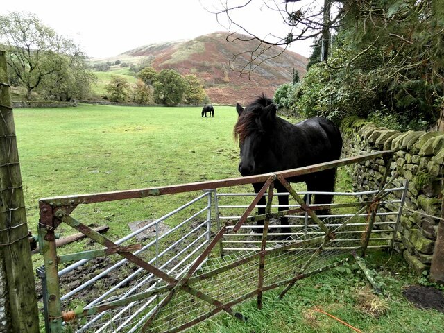
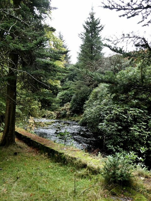
Covered in lush greenery, Green Clough is home to a diverse range of flora and fauna. The valley boasts an array of wildflowers, including bluebells and daffodils, which create a vibrant tapestry of colors during the springtime. The meandering streams and small waterfalls flowing through the valley add a touch of tranquility to the area, making it an ideal spot for relaxation and contemplation.
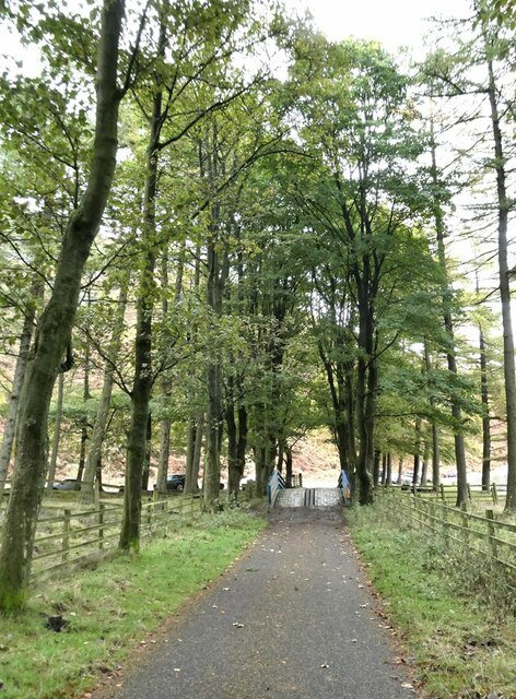
Green Clough offers numerous walking trails, catering to different skill levels and preferences. From leisurely strolls along the valley floor to more challenging hikes up the surrounding hills, there is something for everyone. The trails provide visitors with an opportunity to explore the breathtaking landscapes, spot wildlife such as birds and deer, and appreciate the natural beauty of the area.
The valley is also home to a variety of wildlife, including rabbits, foxes, and even the occasional badger. Birdwatchers will delight in the diverse avian species that inhabit the area, with sightings of owls, woodpeckers, and various songbirds being common.
Overall, Green Clough offers a serene and captivating experience for those seeking a retreat in the heart of Yorkshire's countryside. Its natural beauty, diverse wildlife, and well-maintained walking trails make it a must-visit destination for nature lovers and outdoor enthusiasts.
If you have any feedback on the listing, please let us know in the comments section below.
Green Clough Images
Images are sourced within 2km of 53.940437/-2.5508078 or Grid Reference SD6349. Thanks to Geograph Open Source API. All images are credited.


Green Clough is located at Grid Ref: SD6349 (Lat: 53.940437, Lng: -2.5508078)
Division: West Riding
Administrative County: Lancashire
District: Ribble Valley
Police Authority: Lancashire
What 3 Words
///only.perfumes.weeknight. Near Waddington, Lancashire
Nearby Locations
Related Wikis

Sykes Smelt Mill
Sykes Smelt Mill was a mediaeval mill located between Sykes and Hareden in Bowland Forest High, Lancashire, England. It stood on the banks of Langden Brook...

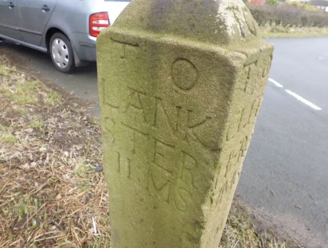
Bowland Forest High milestone
The Bowland Forest High milestone is an historic milestone marker in the English parish of Bowland Forest High, in the Trough of Bowland, Lancashire. A...

Dunsop Bridge (structure)
Dunsop Bridge is a bridge in the English village of the same name. The structure, which dates to the early 19th century, crosses the River Dunsop. A Grade...

Bowland Forest High
Bowland Forest High is a civil parish in the Ribble Valley district of Lancashire, England, covering some 20,000 acres (80 km2) of the Forest of Bowland...
Nearby Amenities
Located within 500m of 53.940437,-2.5508078Have you been to Green Clough?
Leave your review of Green Clough below (or comments, questions and feedback).