Burrell Wood
Wood, Forest in Worcestershire Malvern Hills
England
Burrell Wood
Burrell Wood is a picturesque woodland located in Worcestershire, England. Situated on the outskirts of the village of Burrell Green, the wood is an area of natural beauty that attracts visitors from near and far.
Covering an area of approximately 100 acres, Burrell Wood is predominantly made up of deciduous trees such as oak, beech, and birch, creating a diverse and vibrant landscape. The wood is known for its rich biodiversity, providing habitats for a variety of wildlife including birds, small mammals, and insects.
A network of well-maintained footpaths crisscrosses through Burrell Wood, making it easily accessible to walkers, hikers, and nature enthusiasts. These paths wind their way through the wood, leading visitors on a journey of discovery. Along the way, there are numerous benches and picnic areas where visitors can take a break and immerse themselves in the tranquility of the surroundings.
Burrell Wood also features a small pond, which adds to the beauty and charm of the area. This water source attracts a range of aquatic and semi-aquatic species, including frogs, newts, and dragonflies. It is a popular spot for children and families to explore and observe the fascinating wildlife.
The wood is managed by a local conservation organization, which ensures the preservation of its natural features and safeguards the delicate ecosystems within. They regularly organize guided walks and educational events to promote awareness and appreciation of the wood's unique environment.
Overall, Burrell Wood is a true gem in Worcestershire, offering visitors a peaceful retreat from the hustle and bustle of everyday life. With its stunning scenery, diverse wildlife, and well-maintained trails, it is a haven for nature lovers and a must-visit destination for anyone seeking solace in the beauty of the great outdoors.
If you have any feedback on the listing, please let us know in the comments section below.
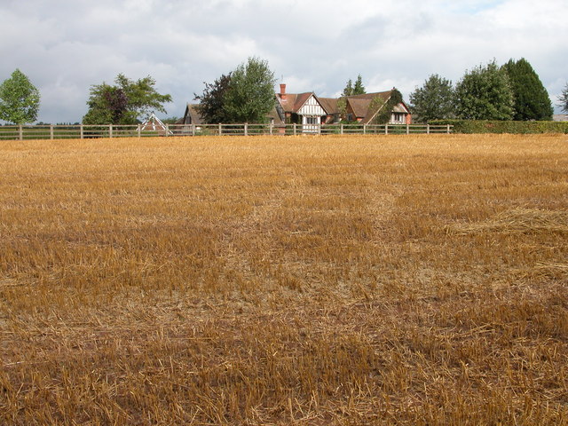
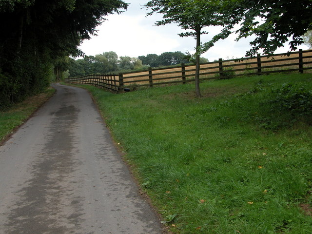
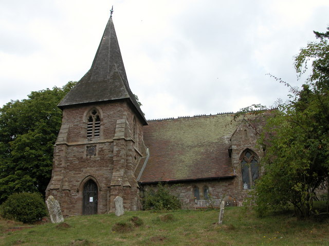
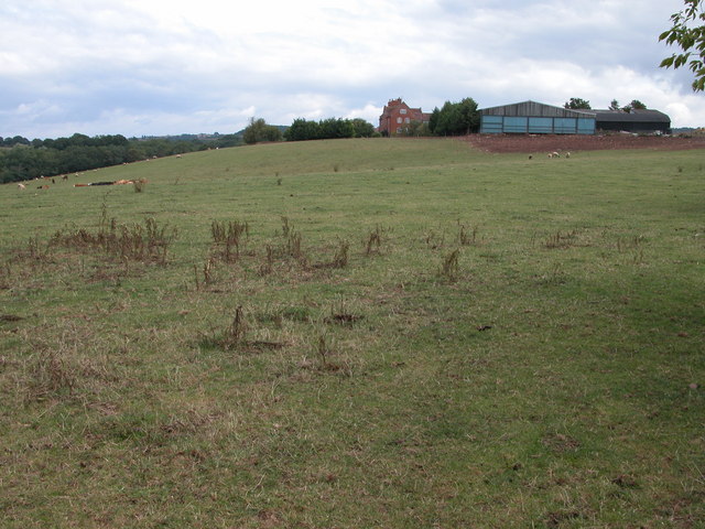
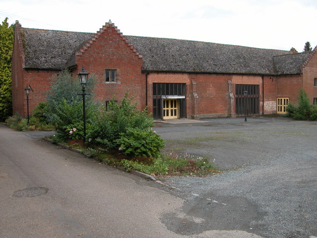
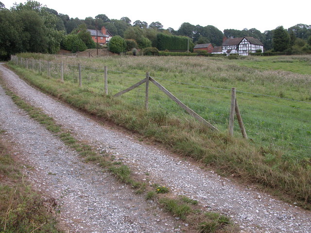
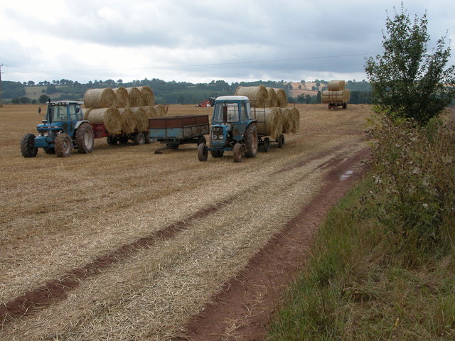
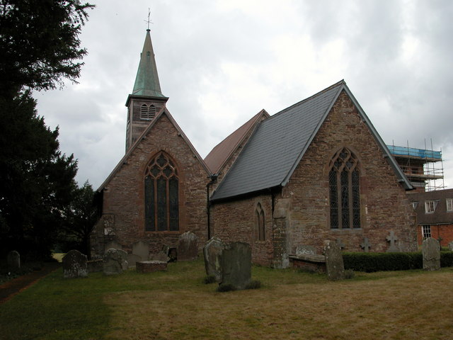
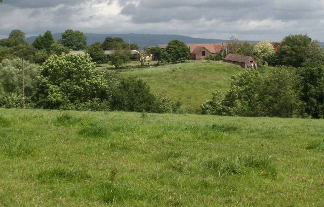
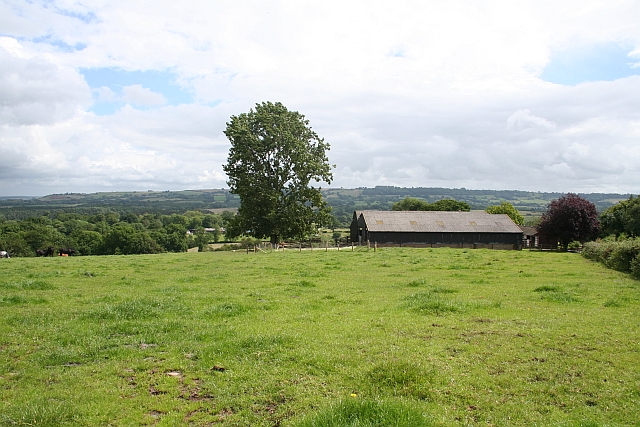
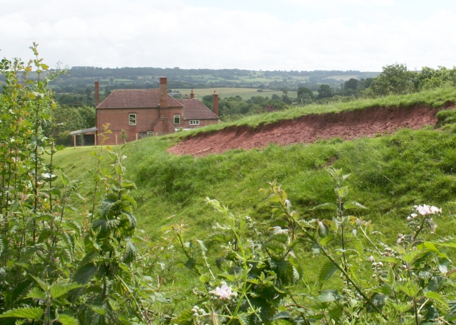
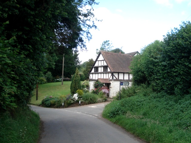
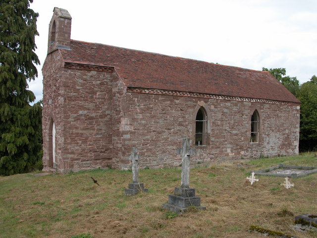
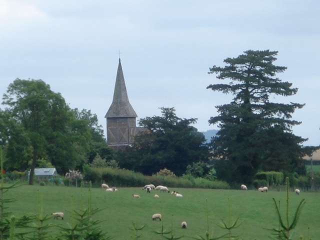
Burrell Wood Images
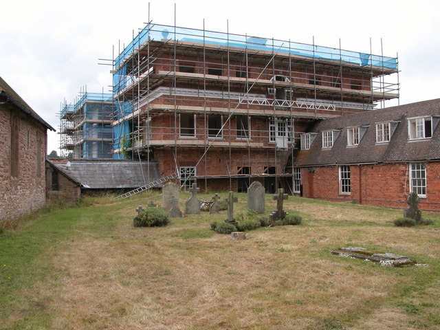
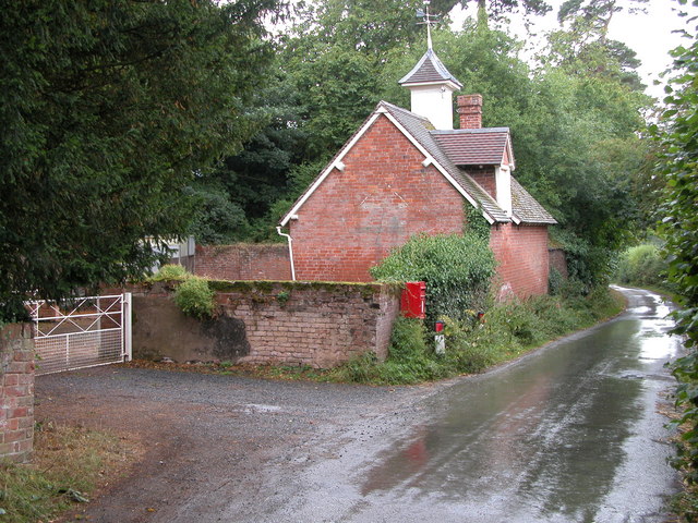
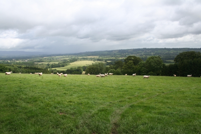
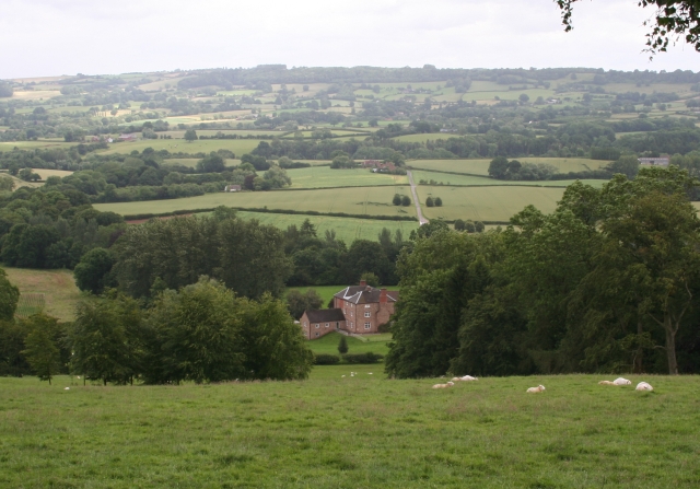
Images are sourced within 2km of 52.25652/-2.5373477 or Grid Reference SO6362. Thanks to Geograph Open Source API. All images are credited.


Burrell Wood is located at Grid Ref: SO6362 (Lat: 52.25652, Lng: -2.5373477)
Administrative County: Worcestershire
District: Malvern Hills
Police Authority: West Mercia
What 3 Words
///gulped.feasts.marinated. Near Collington, Herefordshire
Nearby Locations
Related Wikis

Bank Street, Worcestershire
Bank Street is a village in Malvern Hills District, Worcestershire, England.

Kyre
Kyre is a small village and civil parish in the Malvern Hills district of the county of Worcestershire, England, and shares its parish council with neighbouring...

Collington, Herefordshire
Collington is a village and civil parish 15 miles (24 km) north east of Hereford, in the county of Herefordshire, England. In 2001 the parish had a population...

Stoke Bliss
Stoke Bliss is a small village and civil parish (with a shared parish council with neighbouring Kyre and Bockleton) in the Malvern Hills district of the...
Thornbury, Herefordshire
Thornbury is a village in Herefordshire, England, 5.5 km (3.4 mi) north of the town of Bromyard. The population of the village as taken at the 2011 census...

Hampton Charles, Herefordshire
Hampton Charles is a dispersed hamlet and civil parish in Herefordshire, England, and approximately 5 miles (8 km) north-west from Bromyard. The Herefordshire...
Hanley Child
Hanley Child is a village and former civil parish, now in the parish of Hanley, in the Malvern Hills district, in the county of Worcestershire, England...
Wolferlow
Wolferlow is a village and civil parish in northern Herefordshire, England, about 4 miles (6.4 kilometres) north of Bromyard. In the fourteenth century...
Nearby Amenities
Located within 500m of 52.25652,-2.5373477Have you been to Burrell Wood?
Leave your review of Burrell Wood below (or comments, questions and feedback).