Park Wood
Wood, Forest in Westmorland South Lakeland
England
Park Wood
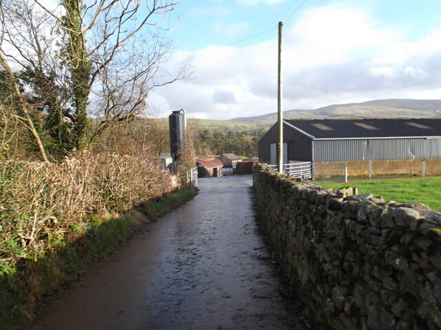
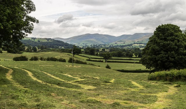
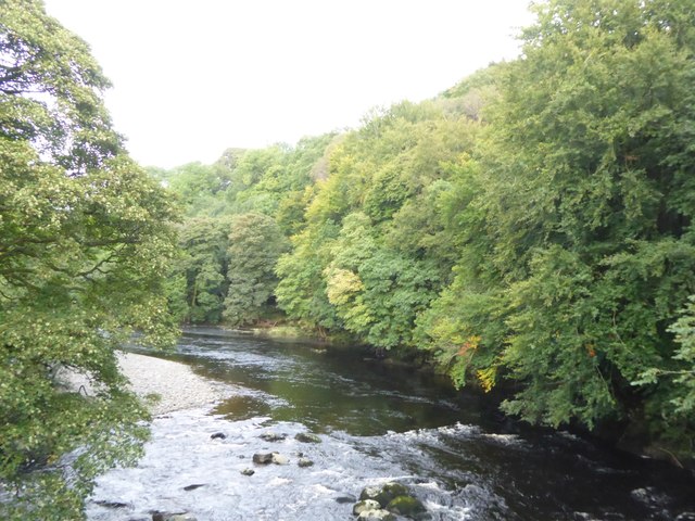
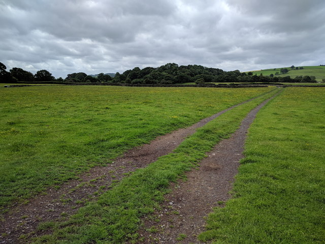
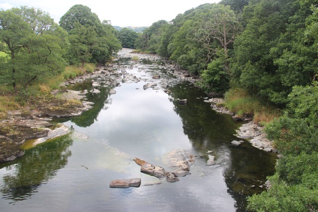
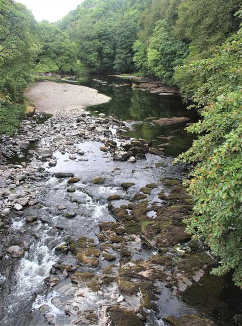
Park Wood is a picturesque forest located in Westmorland, a historic county in the northwest of England. Covering an area of approximately 50 acres, it is known for its natural beauty and rich biodiversity. The wood is situated near the village of Park, surrounded by gently rolling hills and lush green meadows.
The forest is characterized by a diverse range of tree species, including oak, beech, ash, and birch. These towering trees create a dense canopy that provides shade and shelter for many woodland creatures. The forest floor is carpeted with a variety of wildflowers, ferns, and mosses, adding to the enchanting atmosphere.
Park Wood is a haven for wildlife, attracting a wide array of species. It is home to numerous birds, such as woodpeckers, owls, and song thrushes, which fill the air with their melodic tunes. Squirrels can be spotted scampering along the branches, while rabbits and deer occasionally make an appearance, adding to the charm of the woodland.
The forest offers visitors the opportunity to explore its network of walking trails, allowing them to immerse themselves in nature and enjoy the tranquility of the surroundings. The paths meander through the wood, leading to hidden clearings and viewpoints that offer breathtaking vistas of the surrounding countryside.
Park Wood is not only a place of natural beauty but also holds historical significance. It is believed to have been part of a medieval deer park, once owned by the local lord. Today, it stands as a testament to the enduring beauty of the English countryside and offers a peaceful retreat for both locals and tourists alike.
If you have any feedback on the listing, please let us know in the comments section below.
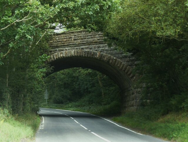
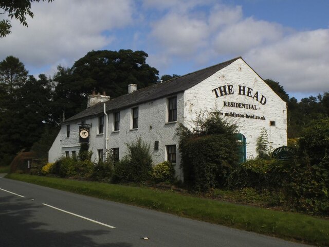
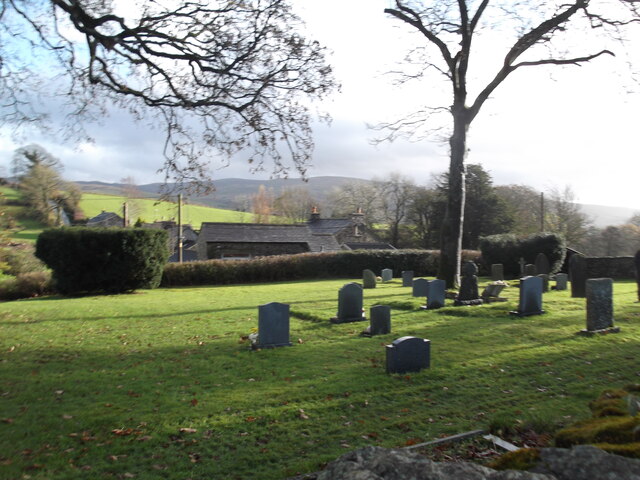
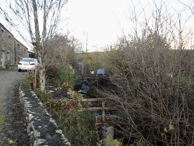
Park Wood Images
Images are sourced within 2km of 54.300702/-2.5690229 or Grid Reference SD6389. Thanks to Geograph Open Source API. All images are credited.


Park Wood is located at Grid Ref: SD6389 (Lat: 54.300702, Lng: -2.5690229)
Administrative County: Cumbria
District: South Lakeland
Police Authority: Cumbria
What 3 Words
///spins.disco.scanning. Near Sedbergh, Cumbria
Nearby Locations
Related Wikis

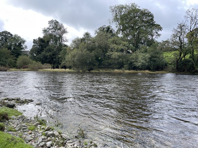
River Rawthey
The River Rawthey is a river in Cumbria in northwest England. The headwaters of the Rawthey are at Rawthey Gill Foot, where Rawthey Gill meets Haskhaw...

Middleton-on-Lune railway station
Middleton-on-Lune railway station was located in Westmorland, England, (now in Cumbria), serving the hamlet and rural locale of Middleton on the Ingleton...

Brigflatts Meeting House
Brigflatts Meeting House or Briggflatts Meeting House is a Friends Meeting House of the Religious Society of Friends (Quakers), near Sedbergh, Cumbria...

Killington, Cumbria
Killington is a village and civil parish in the South Lakeland district of the county of Cumbria, England. It had a population of 152 in 2001, At the...
Beckside
Beckside is a village in Cumbria, England.

River Dee, Cumbria
The River Dee is a river running through the extreme south east of Cumbria, a part of the Craven region traditionally part of the West Riding of Yorkshire...

Ingmire Hall
Ingmire Hall is a grade II listed 16th century country house built around the remains of a pele tower some 2 miles west of Sedbergh, Cumbria, England.The...

St Gregory's Church, Vale of Lune
St Gregory's Church, Vale of Lune, also known as the Vale of Lune Chapel, is a redundant Anglican church situated on the A684 road about 1.5 miles (2 km...
Nearby Amenities
Located within 500m of 54.300702,-2.5690229Have you been to Park Wood?
Leave your review of Park Wood below (or comments, questions and feedback).