Peacock Plantation
Wood, Forest in Dorset
England
Peacock Plantation
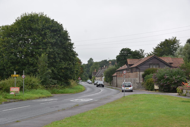
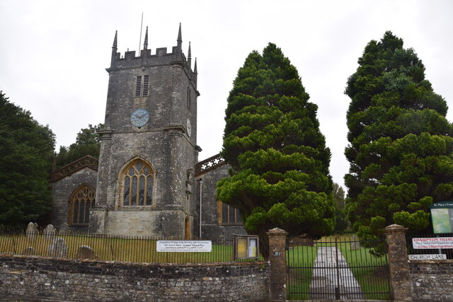
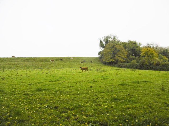
Peacock Plantation is a charming woodland area located in the county of Dorset, England. Spanning over a vast area, this plantation is a haven for nature enthusiasts and offers a serene retreat from the bustling city life.
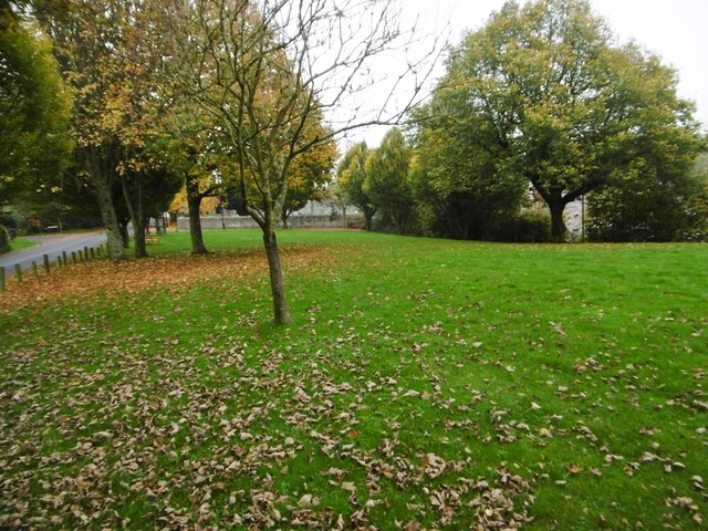
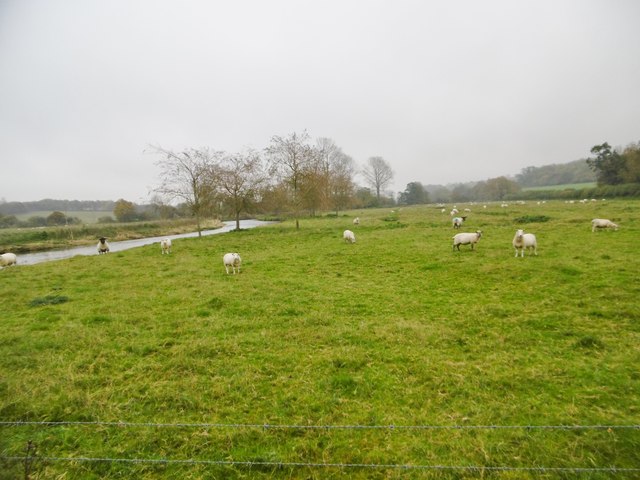
The plantation is primarily composed of a dense forest, characterized by its lush greenery and towering trees. The diverse range of flora and fauna found here adds to the plantation's natural beauty and provides a habitat for various species of birds, butterflies, and small animals.
Visitors to Peacock Plantation can indulge in a variety of activities such as hiking, walking trails, and birdwatching. The well-maintained paths wind through the forest, allowing visitors to explore the plantation's hidden gems and discover its peaceful corners. The scenic views and tranquil atmosphere make it an ideal spot for photographers and nature lovers alike.
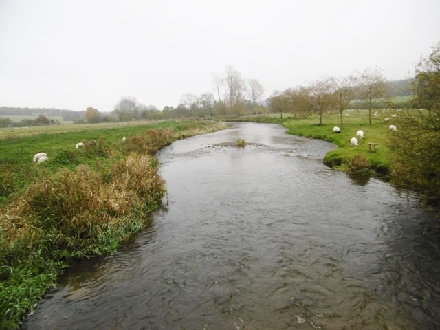
At the heart of the plantation, there is a picturesque lake, surrounded by vibrant wildflowers and ancient trees. This serene water body serves as a perfect spot for picnics or simply a place to relax and soak in the natural beauty. Fishing enthusiasts can also try their luck in the lake, as it is home to a variety of fish species.
Peacock Plantation offers a unique opportunity to reconnect with nature and escape the stresses of modern life. Whether it's for a leisurely stroll or a day spent exploring the wilderness, this woodland retreat is sure to leave visitors feeling refreshed and rejuvenated.
If you have any feedback on the listing, please let us know in the comments section below.
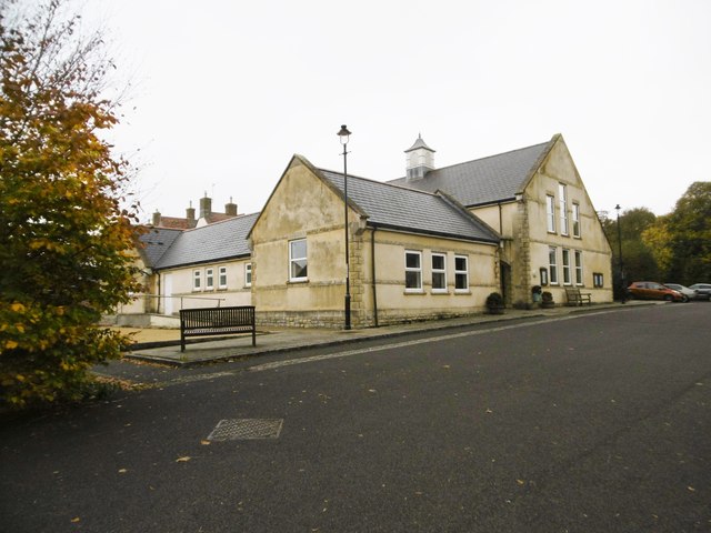
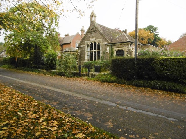
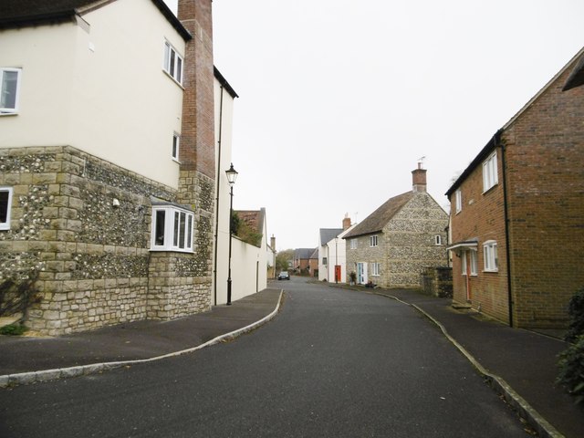
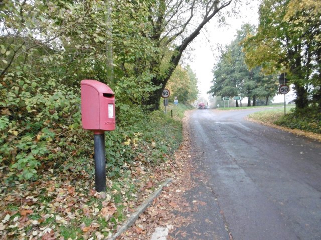
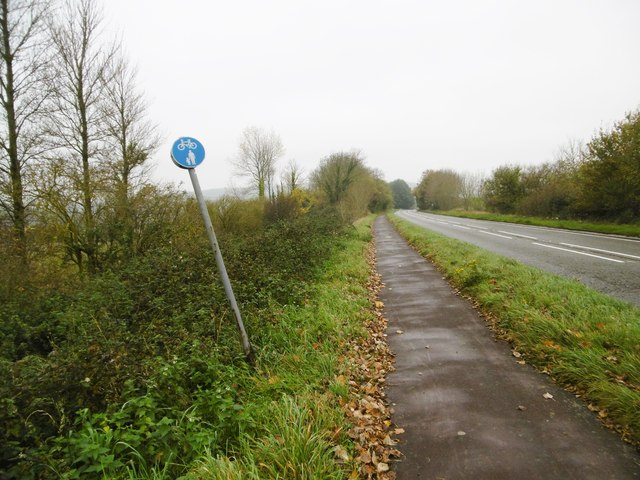
Peacock Plantation Images
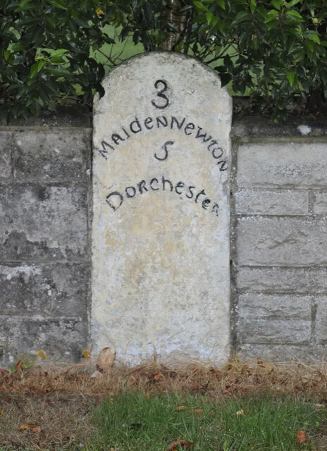
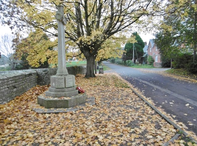
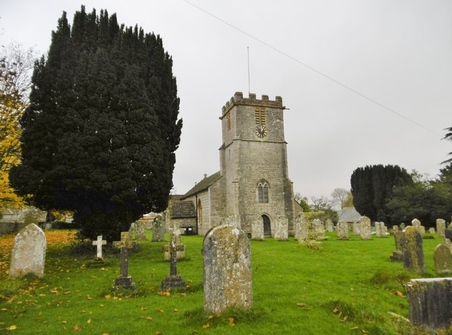
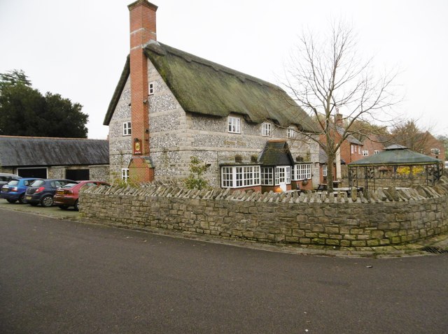
Images are sourced within 2km of 50.749737/-2.5148294 or Grid Reference SY6394. Thanks to Geograph Open Source API. All images are credited.

Peacock Plantation is located at Grid Ref: SY6394 (Lat: 50.749737, Lng: -2.5148294)
Unitary Authority: Dorset
Police Authority: Dorset
What 3 Words
///incurs.readily.mailers. Near Charminster, Dorset
Nearby Locations
Related Wikis
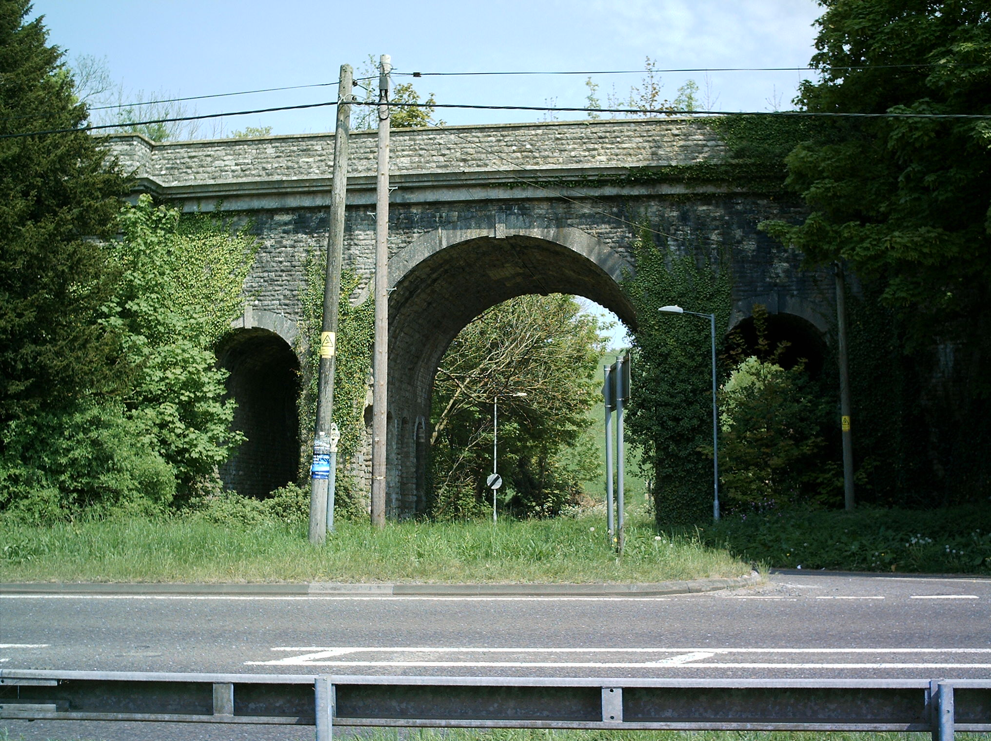
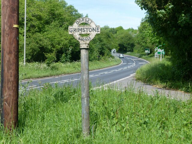
Grimstone Viaduct
The Grimstone Viaduct is a railway bridge on the Castle Cary-Weymouth "Heart of Wessex" line in Dorset, England. It is directly north of the site of Grimstone...

Grimstone and Frampton railway station
Grimstone and Frampton railway station was a station on the Wiltshire, Somerset & Weymouth Railway, part of the Great Western Railway between Maiden Newton...

Frampton Priory
Frampton Priory was a Benedictine priory in England, near the village of Frampton in Dorset and mentioned in the Domesday Book. The priory was subordinate...
Frampton (liberty)
Frampton Liberty was a liberty in the county of Dorset, England, which contained the following parishes: Bettiscombe Bincombe Burton Bradstock Compton...
Nearby Amenities
Located within 500m of 50.749737,-2.5148294Have you been to Peacock Plantation?
Leave your review of Peacock Plantation below (or comments, questions and feedback).