Lower Ninnes

Settlement in Cornwall

England

Lower Ninnes

Chysauster - 3D plan of village This little relief model of the ancient village of Chysauster can be found just to the east of the EH entry cabin.
If you look carefully you can make out the numbers of each of the nine houses. The Fogou is not depicted.
Chysauster - 3D plan of village Credit: Rob Farrow

Lower Ninnes is a small village located in the county of Cornwall, in southwestern England. Situated in the rural countryside, it is nestled amidst rolling hills and picturesque landscapes. The village falls within the civil parish of St. Clether and is part of the North Cornwall District.

Lower Ninnes is characterized by its tranquil and idyllic setting, making it a popular destination for those seeking a peaceful retreat from the hustle and bustle of city life. The village is dotted with traditional stone cottages, giving it a quintessential Cornish charm.

Despite its small size, Lower Ninnes boasts a strong sense of community, with residents actively involved in local initiatives and events. The village is home to a close-knit population, fostering a friendly and welcoming atmosphere.

Nature enthusiasts are drawn to Lower Ninnes due to its proximity to the stunning Bodmin Moor, a designated Area of Outstanding Natural Beauty. The area offers opportunities for hiking, bird-watching, and other outdoor activities.

While Lower Ninnes primarily serves as a residential area, it is conveniently located near larger towns such as Launceston and Bodmin, which provide essential amenities, including shops, schools, and healthcare facilities.

Overall, Lower Ninnes offers a peaceful and picturesque setting, with its rural charm and close-knit community. It serves as an ideal location for those looking to escape the urban environment and immerse themselves in the natural beauty of Cornwall.

If you have any feedback on the listing, please let us know in the comments section below.
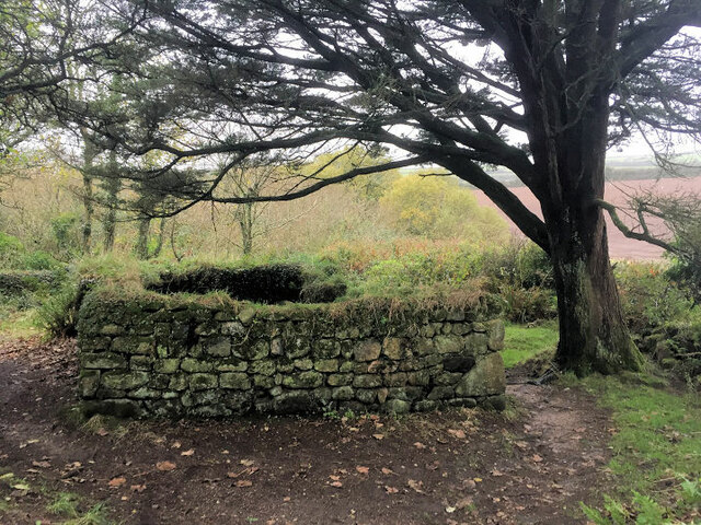
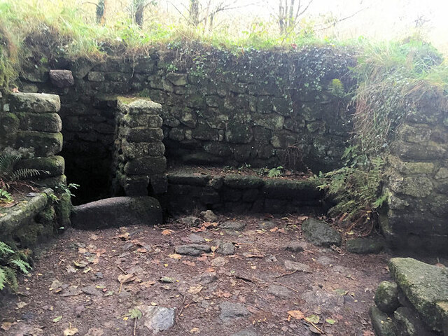
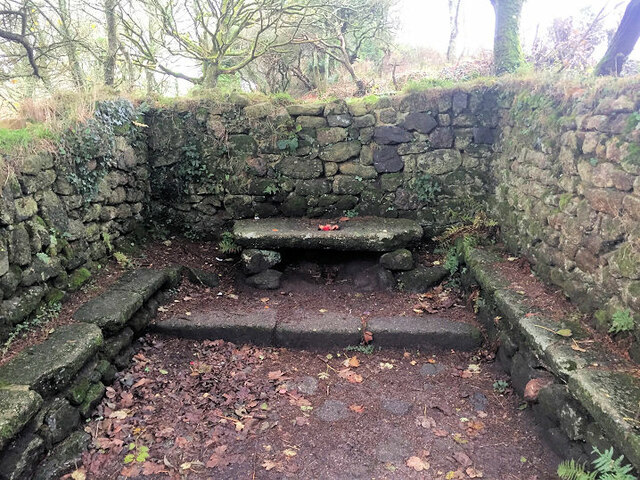
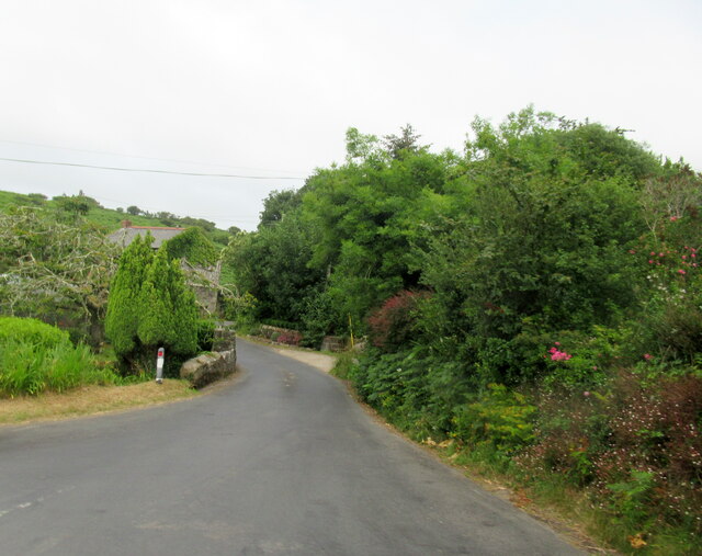
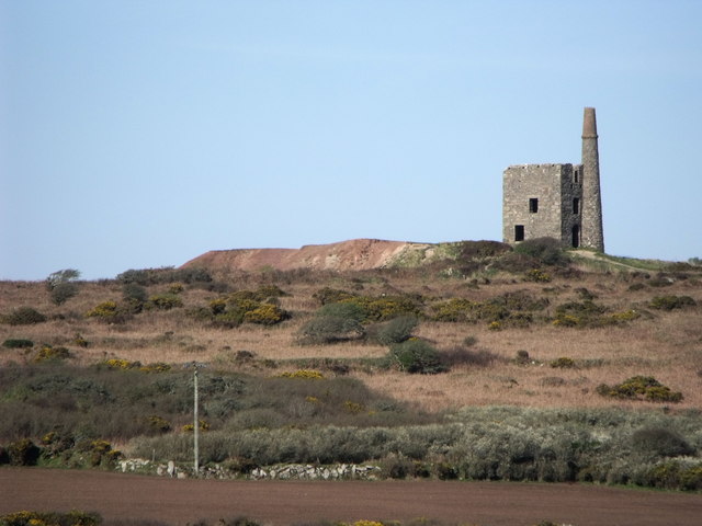
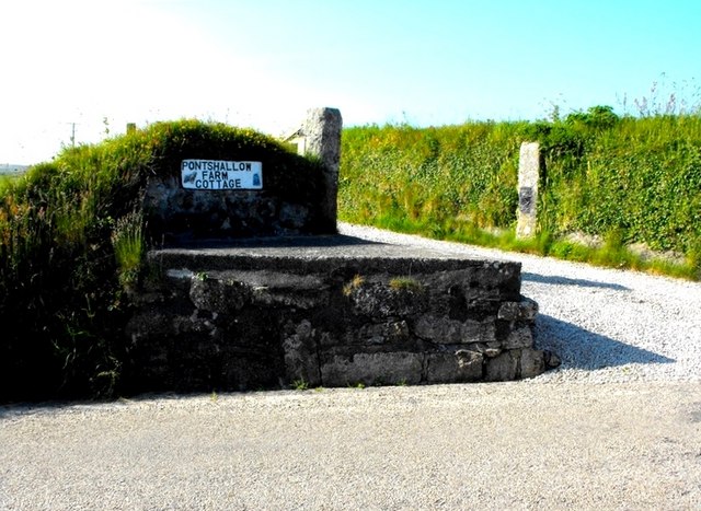
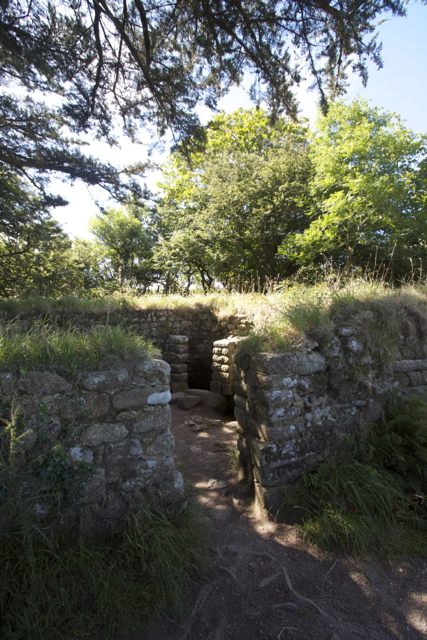
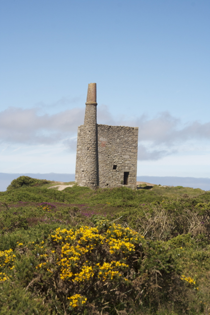
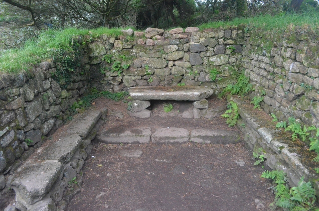
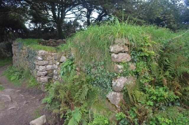
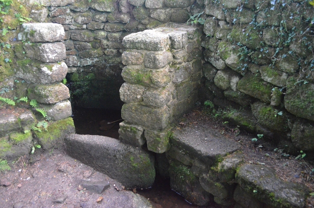
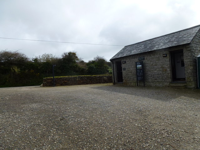
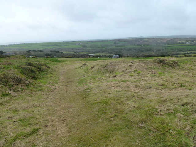
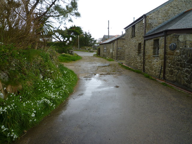
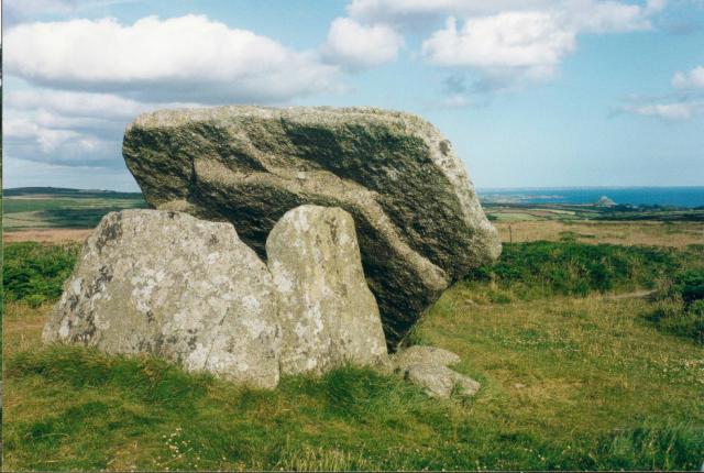
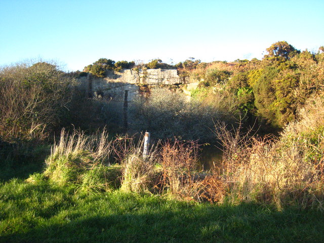
Lower Ninnes Images

Images are sourced within 2km of 50.152977/-5.5673593 or Grid Reference SW4534. Thanks to Geograph Open Source API. All images are credited.

Chysauster - 3D plan of village This little relief model of the ancient village of Chysauster can be found just to the east of the EH entry cabin.
If you look carefully you can make out the numbers of each of the nine houses. The Fogou is not depicted.
Chysauster - 3D plan of village
This little relief model of the ancient village of Chysauster can be found just to the east of the EH entry cabin. If you look carefully you can make out the numbers of each of the nine houses. The Fogou is not depicted.
Footpath near Holy Madron Well
Ding Dong mines in Penwith
Chimney and shaft buildings as part of Ding Dong Mines in Penwith
Madron Well Chapel
Madron Well Chapel
Inside Madron Well Chapel
Madron Well Chapel
Madron Well Chapel
Road junction and bridge over stream, Newmill
Engine house at Ding Dong mine, Cornwall
Standing out Another redundant milk-churn stand in Penwith.
Standing out
Another redundant milk-churn stand in Penwith.
Madron Chapel
Madron Chapel
Ding Dong Mine Engine House
Madron Chapel An ancient chapel with the altar stone in situ.
Madron Chapel
An ancient chapel with the altar stone in situ.
Madron Chapel A view of the pre-Christian chapel and well.
Madron Chapel
A view of the pre-Christian chapel and well.
Madron Chapel Madron Chapel, a pre-Christian chapel in the middle of nowhere.
Madron Chapel
Madron Chapel, a pre-Christian chapel in the middle of nowhere.
Car park and facilities at Chysauster
Hillside looking towards the ticket office and shop at Chysauster
Show me another place!

Lower Ninnes is located at Grid Ref: SW4534 (Lat: 50.152977, Lng: -5.5673593)

Unitary Authority: Cornwall

Police Authority: Devon and Cornwall

What 3 Words

///lifted.costs.mason. Near Penzance, Cornwall

Related Wikis

Mulfra

Mulfra is a hamlet in the parish of Madron, Cornwall, England and is on the southern slope of Mulfra Hill. Nearby is the Scheduled monument, Mulfra Quoit...

New Mill, Cornwall

New Mill (Newmill on Ordnance Survey maps) is a small settlement in west Cornwall, England. It is approximately 2 miles (3.2 km) north of Penzance on the...

Carfury

Carfury is a hamlet in west Cornwall, England, United Kingdom. It is situated in Penwith approximately three miles (5 km) northwest of Penzance. It is...

Bodrifty

Bodrifty is the modern name of an Iron Age village, now in ruins, in Cornwall, England, United Kingdom. It is 700 yards west of Mulfra Hill in Penwith...

Nearby Amenities

Located within 500m of 50.152977,-5.5673593
Higher Ninnes
Is In: Cornwall, England, UK
Is In Country: England
Is In Country Code: GB
Is In County: Cornwall
Name Kw: Enys Wartha
Place: hamlet
Source: npe
Lat/Long: 50.155888/-5.5720052
Lower Ninnes
Is In: Cornwall, England, UK
Name Kw: Enys Woles
Place: hamlet
Lat/Long: 50.1529576/-5.5690299
Bay of Biscay
Is In: Cornwall, England, UK
Name Kw: Baya an Vaskes
Place: hamlet
Lat/Long: 50.1535351/-5.5639087
All Saints Trythall
Disused Amenity: place_of_worship
Lat/Long: 50.1527873/-5.567497
Power: pole
Lat/Long: 50.1567018/-5.5639717
Power: pole
Lat/Long: 50.1563659/-5.5649976
Power: pole
Lat/Long: 50.1558778/-5.5664447
Power: pole
Lat/Long: 50.1553872/-5.5678019
Power: pole
Lat/Long: 50.1550297/-5.5688211
Power: pole
Lat/Long: 50.1548596/-5.5693308
Power: pole
Lat/Long: 50.1546121/-5.5699798
Power: pole
Lat/Long: 50.1542117/-5.5706826
Power: pole
Lat/Long: 50.1538405/-5.5713424
Power: pole
Lat/Long: 50.1533318/-5.572257
Power: pole
Lat/Long: 50.1528334/-5.5730791
Power: pole
Lat/Long: 50.1524923/-5.5736652
Power: pole
Lat/Long: 50.152567/-5.5641621
Power: pole
Lat/Long: 50.1529537/-5.5618233
Power: pole
Transformer: distribution
Lat/Long: 50.1528059/-5.5608939
Power: pole
Lat/Long: 50.1543483/-5.5679856
Power: pole
Lat/Long: 50.153685/-5.5671823
Power: pole
Transformer: distribution
Lat/Long: 50.1532201/-5.5666257
Power: pole
Lat/Long: 50.1524751/-5.5664273
Power: pole
Lat/Long: 50.1517576/-5.5661698
Power: pole
Transformer: distribution
Lat/Long: 50.1511079/-5.5659217
Power: pole
Lat/Long: 50.1505107/-5.5657379
Power: pole
Lat/Long: 50.1498103/-5.5655207
Power: pole
Lat/Long: 50.1492801/-5.5653249
The data included in this document is from www.openstreetmap.org. The data is made available under ODbL.

Have you been to Lower Ninnes?

Leave your review of Lower Ninnes below (or comments, questions and feedback).