Lower Morden

Settlement in Surrey

England

Lower Morden

West Morden Crematorium One of several Places of Worship at the Crematorium.
West Morden Crematorium Credit: Jay Pea

Lower Morden is a suburban area located in the London Borough of Merton, in the county of Surrey, England. It is situated approximately 11 miles southwest of central London and is part of the larger Morden district.

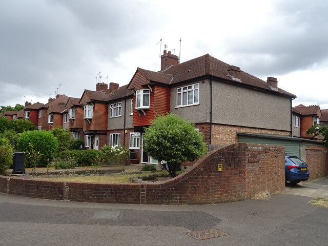
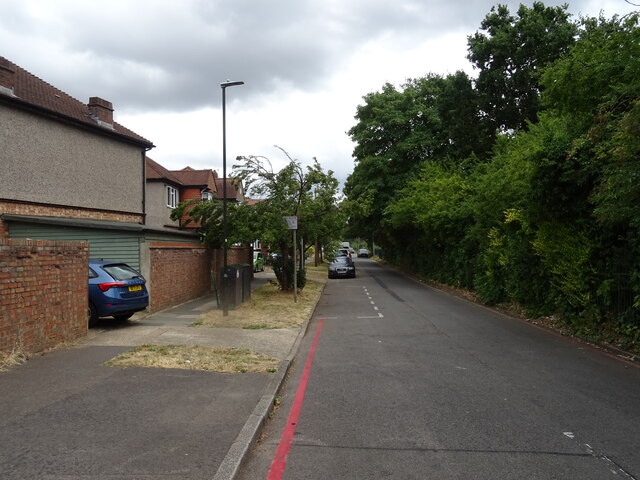
Primarily a residential area, Lower Morden boasts a peaceful and tranquil atmosphere, making it an ideal place for families and individuals seeking a quieter lifestyle. The neighborhood is characterized by its leafy streets, well-maintained houses, and spacious gardens, providing residents with ample outdoor space to enjoy.

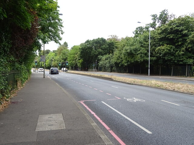
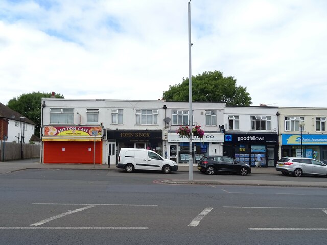
Lower Morden benefits from its close proximity to various amenities and facilities. The nearby Morden town center offers a wide range of shops, supermarkets, restaurants, and cafes, providing convenient access to everyday necessities. The area is also well-served by public transportation, with the Morden Underground station providing direct links to central London via the Northern Line.

The neighborhood is home to several green spaces, including Morden Park, which offers extensive recreational facilities such as sports fields, playgrounds, and a leisure center. Morden Hall Park, a National Trust property, is another notable attraction, featuring beautiful gardens, a river, and historic buildings.

Lower Morden is served by several well-regarded schools, including primary and secondary institutions, ensuring excellent educational opportunities for families with children. The area also benefits from a low crime rate, contributing to its reputation as a safe and secure place to live.

Overall, Lower Morden offers a pleasant suburban lifestyle with easy access to both urban amenities and natural beauty, making it an attractive place to reside within the Surrey countryside.

If you have any feedback on the listing, please let us know in the comments section below.
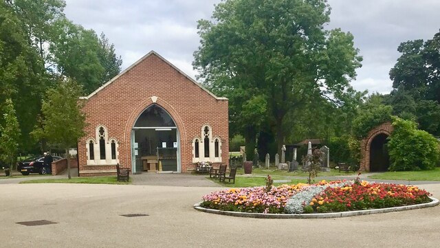
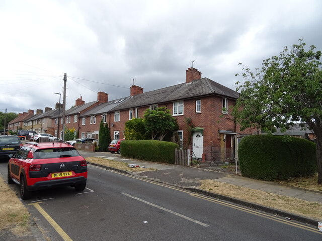
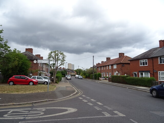
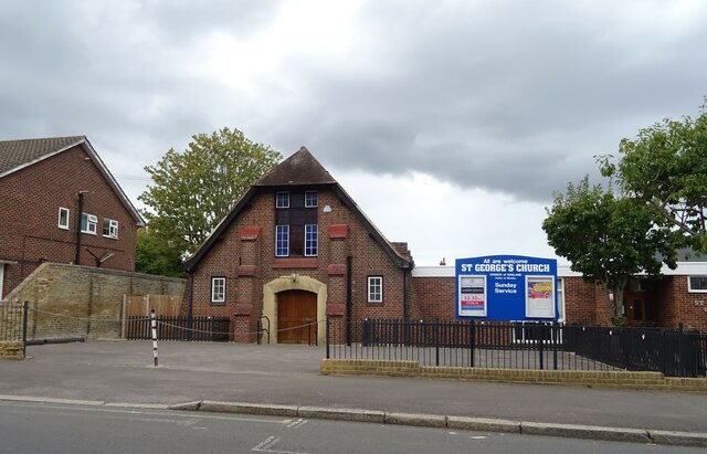
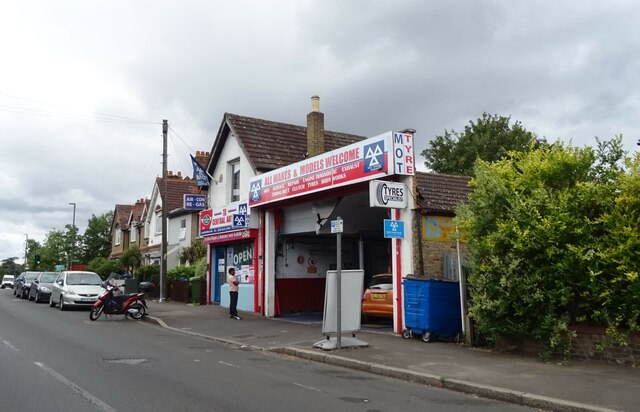
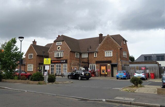
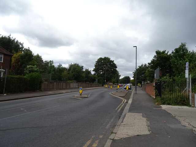
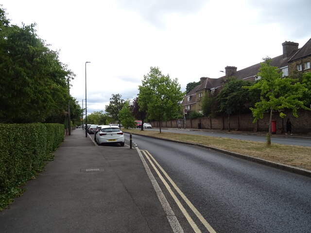
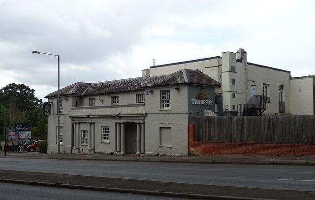
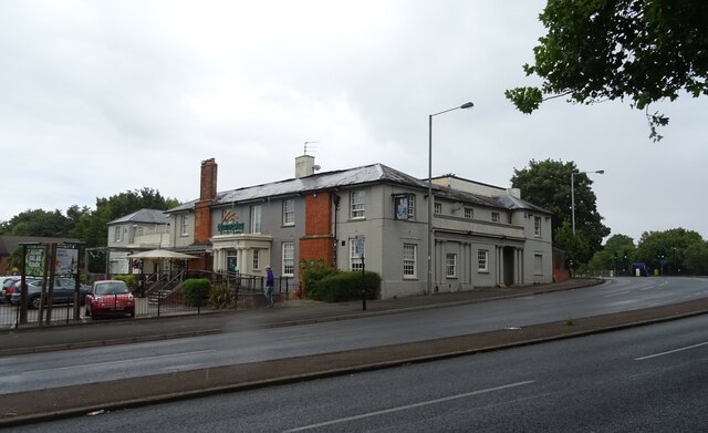
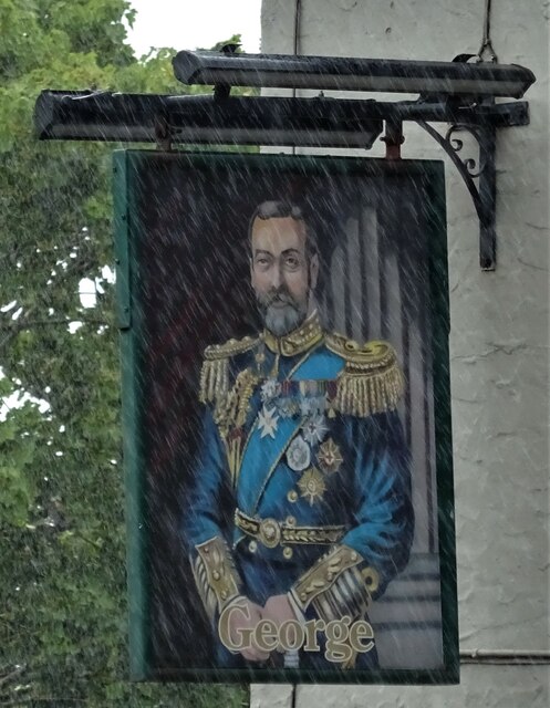
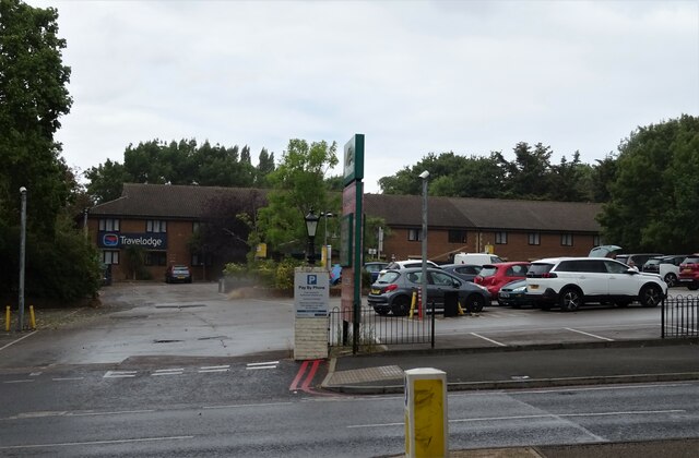
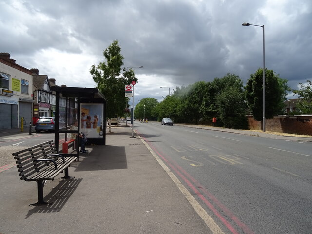
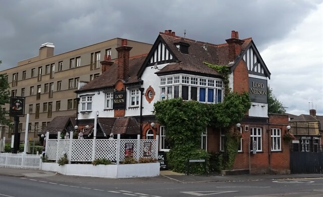
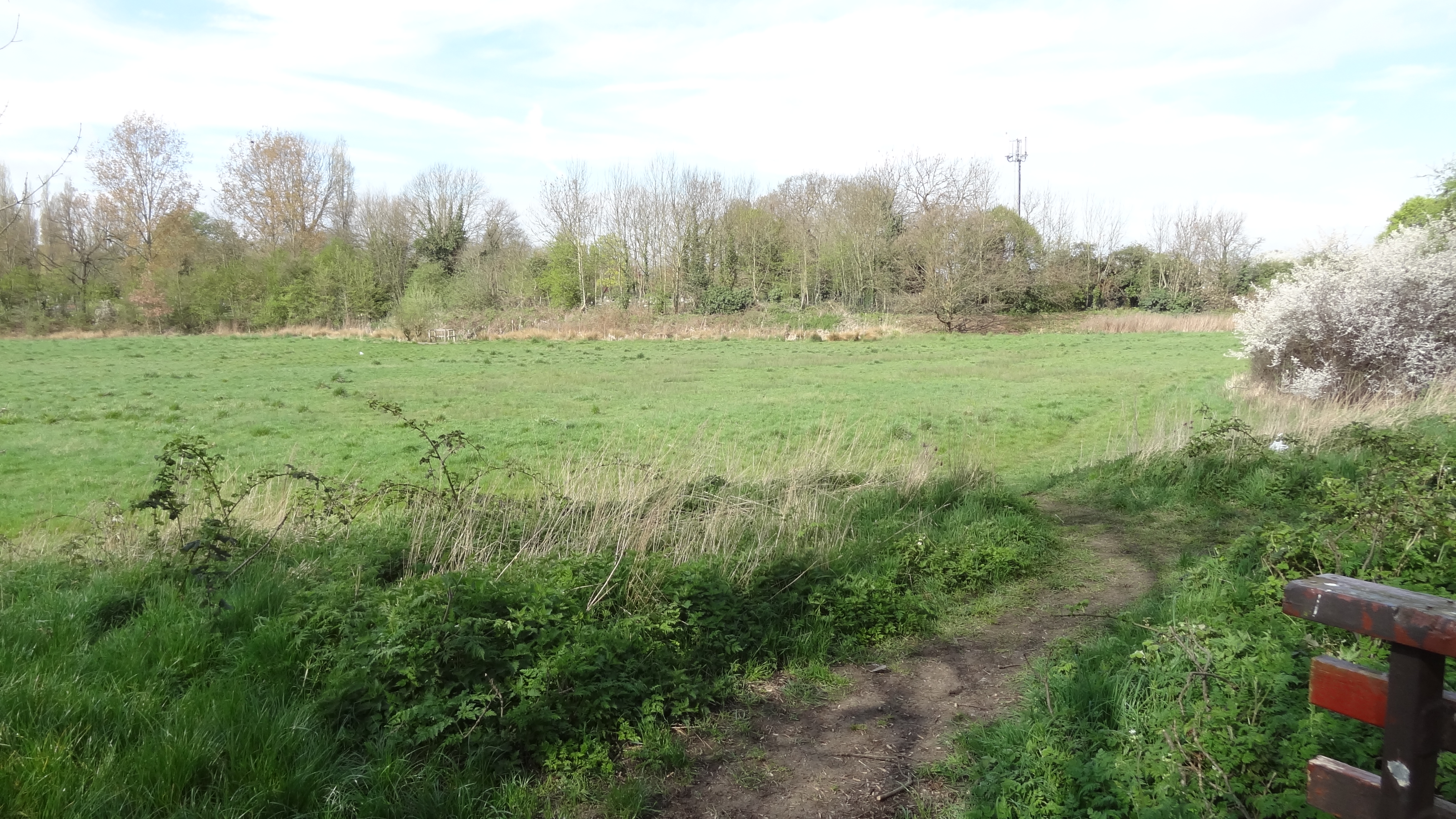
Lower Morden Images

Images are sourced within 2km of 51.388027/-0.21508522 or Grid Reference TQ2466. Thanks to Geograph Open Source API. All images are credited.

West Morden Crematorium One of several Places of Worship at the Crematorium.
West Morden Crematorium
One of several Places of Worship at the Crematorium.
Houses on Blanchland Road, Morden
Buckfast Road, Morden Junction with Blanchland Road.
Buckfast Road, Morden
Junction with Blanchland Road.
St George's Church, Morden
Garage on Central Road, Morden
Sainsbury's Local on Central Road, Morden The former Morden Tavern public house.
Sainsbury's Local on Central Road, Morden
The former Morden Tavern public house.
Central Road (A239), Morden
Green Lane (B278), Morden
The George Inn (Harvester), Morden On Epsom Road.
See <a href="https://www.geograph.org.uk/photo/7242630">TQ2567 : Sign for the George Inn (Harvester), Morden</a> for sign.
The George Inn (Harvester), Morden
The George Inn (Harvester), Morden On Epsom Road.
See <a href="https://www.geograph.org.uk/photo/7242630">TQ2567 : Sign for the George Inn (Harvester), Morden</a> for sign.
The George Inn (Harvester), Morden
Sign for the George Inn (Harvester), Morden See <a href="https://www.geograph.org.uk/photo/7242629">TQ2567 : The George Inn (Harvester), Morden</a> and <a href="https://www.geograph.org.uk/photo/7242628">TQ2567 : The George Inn (Harvester), Morden</a> for context.
Sign for the George Inn (Harvester), Morden
Travelodge London Wimbledon, Morden On Epsom Road.
Travelodge London Wimbledon, Morden
On Epsom Road.
Houses on Epsom Road, Morden
Epsom Road (A24), Morden
Holne Chase, Morden Off Epsom Road.
Holne Chase, Morden
Off Epsom Road.
Shops on Stonecot Hill
Bus stop and shelter on Stonecot Hill (A24)
The Lord Nelson public house, Sutton On London Road.
The Lord Nelson public house, Sutton
On London Road.
Show me another place!

Lower Morden is located at Grid Ref: TQ2466 (Lat: 51.388027, Lng: -0.21508522)

Unitary Authority: Merton

Police Authority: Metropolitan

What 3 Words

///record.hooks.note. Near Morden, London

Nearby Locations

Lower Morden

Related Wikis

Lower Morden

Lower Morden is an area within the district of Morden in south west corner of the London Borough of Merton, to the west of Morden Park and south of Raynes...

Morden Park (park)

Morden Park is a 50-hectare (120-acre) public park and Site of Borough Importance for Nature Conservation, Grade 1, in the district of Morden Park in the...

Pyl Brook

Pyl Brook is a small stream in southwest London. It is a tributary of Beverley Brook, which is a tributary of the River Thames. Pyl Brook has two sources...

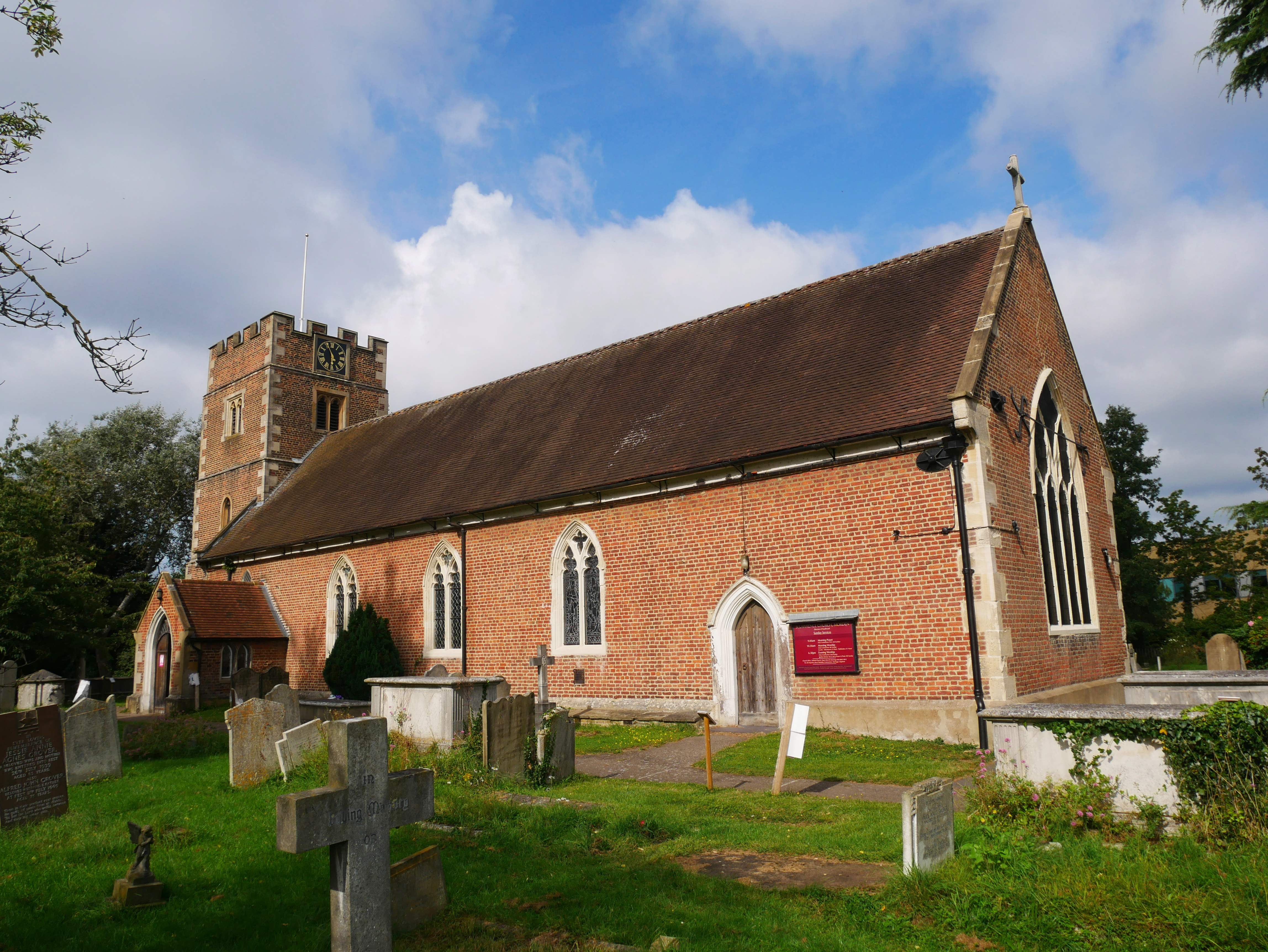
St Lawrence Church, Morden

St Lawrence Church is the Church of England parish church for Morden in the London Borough of Merton. The building is Grade I listed, and located on London...

Derwent Floodwash

Derwent Floodwash is a 1.8 hectare Local Nature Reserve and Site of Borough Importance for Nature Conservation, Grade II, in Morden Park in the London...

Morden Park

Morden Park is an area within the district of Morden in the London Borough of Merton, and includes the Park itself, an area of green space in an otherwise...

East Pyl Brook

East Pyl Brook is a 3.9 km (2.4 mi) long stream (brook) in Greater London, England, that is a tributary to Pyl Brook, itself a tributary of Beverley Brook...

St Anthony's Hospital, North Cheam

Spire St Anthony's Hospital is a private hospital in North Cheam, formerly in the county of Surrey, now in the London Borough of Sutton. The hospital is...

Related Videos

CHRISTMAS HOLIDAY SPECIAL | PART ONE

Hey guys! It's KweenBerli here. Just wanted to thank y'all so much for tuning into my Christmas holiday special at St Ives. Can we ...

4k virtual trail walk#nature #relaxing#asmr#dji pocket 2

Edited by VideoGuru:https://videoguru.page.link/Best.

2020 Easter Holiday

Quarantined Easter Holiday.

Nearby Amenities

Located within 500m of 51.388027,-0.21508522
Crossing
Crossing: unmarked
Crossing Island: no
Kerb: lowered
Tactile Paving: no
Lat/Long: 51.3852804/-0.2199596
Crossing
Crossing: unmarked
Crossing Island: no
Kerb: lowered
Tactile Paving: no
Lat/Long: 51.3853177/-0.2141077
Turning Circle
Lat/Long: 51.3862784/-0.2142494
Crossing
Crossing: uncontrolled
Crossing Island: no
Crossing Ref: zebra
Kerb: lowered
Tactile Paving: yes
Lat/Long: 51.3886938/-0.2165417
Turning Circle
Lat/Long: 51.3900462/-0.2196905
Traffic Calming: painted_table
Lat/Long: 51.3875449/-0.2199555
Crossing
Crossing: unmarked
Crossing Island: yes
Kerb: lowered
Tactile Paving: yes
Lat/Long: 51.3837313/-0.2139797
Man Made: street_box
Operator: Royal Mail
Lat/Long: 51.3839551/-0.2138498
Post Box
Collection Times: Mo-Fr 16:00; Sa 12:15
Operator: Royal Mail
Operator Wikidata: Q638098
Post Box Type: pillar
Ref: SM3 58
Royal Cypher: EVIIR
Royal Cypher Wikidata: Q33102324
Lat/Long: 51.3850266/-0.2121269
Telephone
Booth: KX100
Covered: booth
Lat/Long: 51.3846121/-0.212783
Turning Circle
Lat/Long: 51.3886973/-0.2146493
Library
Aragon Public Library
Lat/Long: 51.3881527/-0.2199633
Crossing
Crossing: unmarked
Crossing Island: yes
Kerb: lowered
Tactile Paving: yes
Lat/Long: 51.3872496/-0.2138921
Crossing
Crossing: uncontrolled
Crossing Island: no
Crossing Ref: zebra
Kerb: lowered
Tactile Paving: yes
Lat/Long: 51.388641/-0.2165715
Crossing
Crossing: unmarked
Crossing Island: no
Kerb: lowered
Tactile Paving: yes
Lat/Long: 51.3881997/-0.2154259
Crossing
Crossing: unmarked
Crossing Island: no
Kerb: lowered
Tactile Paving: yes
Lat/Long: 51.3882535/-0.2153625
Post Box
Collection Times: Mo-Fr 09:00; Sa 07:00
Operator: Royal Mail
Operator Wikidata: Q638098
Post Box Design: type_b
Post Box Type: pillar
Ref: SM4 209D
Royal Cypher: EIIR
Royal Cypher Wikidata: Q33102113
Lat/Long: 51.3889192/-0.2173038
Crossing
Crossing: unmarked
Crossing Island: yes
Kerb: lowered
Tactile Paving: yes
Lat/Long: 51.3891522/-0.2189711
Bicycle Parking
Capacity: 2
Lat/Long: 51.3849783/-0.2121864
Bicycle Parking
Capacity: 2
Lat/Long: 51.3850387/-0.2126301
Bicycle Parking
Capacity: 2
Lat/Long: 51.3844817/-0.2127924
Bus Stop
Ash Road
Bench: yes
Bin: no
Bus: yes
Bus Bay: no
Kerb: normal
Local Ref: SJ
Naptan AtcoCode: 490003448S
Naptan Bearing: S
Naptan CommonName: Ash Road
Naptan Indicator: Stop SJ
Naptan Street: STONECOT HILL
Passenger Information Display: no
Public Transport: platform
Shelter: yes
Lat/Long: 51.3840516/-0.2134806
Bus Stop
King George's Field
Bench: yes
Bin: yes
Bus: yes
Bus Bay: no
Kerb: normal
Local Ref: TC
Naptan AtcoCode: 490008751E
Naptan Bearing: E
Naptan CommonName: King Georges Field
Naptan Indicator: Stop TC
Naptan Street: TUDOR DRIVE
Passenger Information Display: no
Public Transport: platform
Ref: 75303
Shelter: yes
Source Ref: naptan
Lat/Long: 51.3876816/-0.2143902
Bus Stop
King George's Field
Bench: yes
Bin: yes
Local Ref: TM
Naptan AtcoCode: 490008751W
Naptan Bearing: W
Naptan CommonName: King Georges Field
Naptan Indicator: Stop TM
Naptan Street: TUDOR DRIVE
Naptan Verified: no
Public Transport: platform
Shelter: yes
Lat/Long: 51.3876268/-0.2146415
Bus Stop
Lower Morden Lane
Bench: yes
Bin: yes
Bus: yes
Bus Bay: no
Kerb: raised
Local Ref: ME
Naptan AtcoCode: 490009426N
Naptan Bearing: N
Naptan CommonName: Lower Morden Lane (SM3)
Naptan Indicator: Stop ME
Naptan Street: EPSOM ROAD
Public Transport: platform
Ref: 53170
Shelter: yes
Source Ref: naptan
Lat/Long: 51.3869992/-0.2100457
Bus Stop
Dudley Drive
Bench: yes
Bin: yes
Bus: yes
Bus Bay: no
Kerb: normal
Local Ref: TD
Naptan AtcoCode: 490013829E
Naptan Bearing: E
Naptan CommonName: Tudor Drive The Woodstock
Naptan Indicator: Stop TD
Naptan Street: TUDOR DRIVE
Passenger Information Display: no
Public Transport: platform
Ref: 58643
Shelter: yes
Source Ref: naptan
Lat/Long: 51.3862412/-0.2121277
Bus Stop
Aragon School
Bench: yes
Bin: yes
Bus: yes
Bus Bay: no
Kerb: normal
Local Ref: TB
Naptan AtcoCode: 490013830E
Naptan Bearing: E
Naptan CommonName: Aragon School
Naptan Indicator: Stop TB
Naptan Street: TUDOR DRIVE
Passenger Information Display: no
Public Transport: platform
Ref: 59190
Shelter: yes
Source Ref: naptan
Lat/Long: 51.3890038/-0.2178313
Bus Stop
Aragon School
Bus: yes
Local Ref: TN
Naptan AtcoCode: 490013830W
Naptan Bearing: W
Naptan CommonName: Aragon School
Naptan Indicator: Stop TN
Naptan Street: TUDOR DRIVE
Naptan Verified: no
Public Transport: platform
Ref: 48926
Shelter: no
Source Ref: naptan
Lat/Long: 51.3889909/-0.2184923
Bus Stop
Stonecot Hill
Bus: yes
Local Ref: SQ
Naptan AtcoCode: 490013608N1
Naptan Bearing: N
Naptan CommonName: Stonecot Hill Tudor Drive
Naptan Indicator: Stop SQ
Naptan Street: SUTTON COMMON ROAD
Naptan Verified: no
Public Transport: platform
Ref: 53507
Shelter: no
Source Ref: naptan
Lat/Long: 51.3853775/-0.2104462
Bus Stop
Sutton Common Road
Bench: yes
Bin: yes
Bus: yes
Bus Bay: no
Kerb: normal
Local Ref: SL
Naptan AtcoCode: 490013608N2
Naptan Bearing: N
Naptan CommonName: Stonecot Hill Tudor Drive
Naptan Indicator: Stop SL
Passenger Information Display: yes
Public Transport: platform
Shelter: yes
Lat/Long: 51.3852685/-0.2122216
Bus Stop
Tudor Drive
Local Ref: EH
Naptan AtcoCode: 490013608S
Naptan Bearing: S
Naptan CommonName: Stonecot Hill Tudor Drive
Naptan Indicator: Stop EH
Naptan Street: EPSOM ROAD
Naptan Verified: no
Public Transport: platform
Lat/Long: 51.3863441/-0.2106569
Traffic Calming: cushion
Lat/Long: 51.3885658/-0.2098937
Traffic Calming: cushion
Lat/Long: 51.3887716/-0.2103269
Lower Morden
Place: suburb
Wikidata: Q6693637
Lat/Long: 51.3897736/-0.2163635
Fast Food
The Fish & Chippy
Cuisine: fish_and_chips
Lat/Long: 51.3859806/-0.2122297
Crossing
Crossing: unmarked
Crossing Island: no
Kerb: lowered
Tactile Paving: yes
Lat/Long: 51.3879636/-0.2087053
Crossing
Crossing: unmarked
Crossing Island: no
Kerb: lowered
Tactile Paving: yes
Lat/Long: 51.3879981/-0.2087817
Doctors
The James O'Riordan Medical Centre
Addr City: London Borough of Sutton
Addr Housenumber: 70
Addr Postcode: SM3 9HE
Addr Street: Stonecot Hill
Website: https://www.james-oriordan-medical-centre.nhs.uk/
Lat/Long: 51.3843765/-0.2134385
Traffic Calming: table
Lat/Long: 51.3847249/-0.2125671
Access: customers
Barrier: lift_gate
Lat/Long: 51.3853557/-0.2116462
Traffic Calming: table
Lat/Long: 51.3841496/-0.2132755
Maurice Eco Cleaners
Addr City: Sutton, Surrey
Addr Housenumber: 22
Addr Postcode: SM3 9HE
Addr Street: Stonecot Hill
Description: Solvent free, cleaning that leaves you clothes, bedding, curtains and delicates cleaner, brighter and safer for you and the environment.
Opening Hours: Mo, Tu, Th, Fr 08:00-17:30; We 08:00-13:00; Sa 08:00-16:00
Payment Mastercard: yes
Payment Visa: yes
Phone: +44 20 8337 2666
Shop: dry_cleaning
Website: https://mauriceecocleaners.com
Lat/Long: 51.3854182/-0.2122903
Noexit: yes
Lat/Long: 51.3922063/-0.2173202
Noexit: yes
Lat/Long: 51.3923366/-0.2170154
Noexit: yes
Lat/Long: 51.3913482/-0.2197927
Noexit: yes
Lat/Long: 51.3902268/-0.2210211
Noexit: yes
Lat/Long: 51.389795/-0.219857
Noexit: yes
Lat/Long: 51.3837363/-0.2164016
Noexit: yes
Lat/Long: 51.3856287/-0.2207934
Noexit: yes
Lat/Long: 51.3877177/-0.2221975
Noexit: yes
Lat/Long: 51.389348/-0.2211537
Noexit: yes
Lat/Long: 51.3892934/-0.2210313
Noexit: yes
Lat/Long: 51.3886139/-0.2216617
Noexit: yes
Lat/Long: 51.3888944/-0.2218648
Noexit: yes
Lat/Long: 51.3885329/-0.2215567
Noexit: yes
Lat/Long: 51.3871224/-0.2203273
Noexit: yes
Lat/Long: 51.3867417/-0.2215025
Noexit: yes
Lat/Long: 51.3875964/-0.222071
Noexit: yes
Lat/Long: 51.3857809/-0.2208448
Noexit: yes
Lat/Long: 51.3866068/-0.2214318
Noexit: yes
Lat/Long: 51.3856141/-0.219513
Noexit: yes
Lat/Long: 51.3867875/-0.2200811
Noexit: yes
Lat/Long: 51.3887829/-0.2192952
Noexit: yes
Lat/Long: 51.3884061/-0.217274
Noexit: yes
Lat/Long: 51.3886511/-0.2187973
Noexit: yes
Lat/Long: 51.3841312/-0.2144542
Noexit: yes
Lat/Long: 51.3838818/-0.2162298
Noexit: yes
Lat/Long: 51.3848142/-0.2151515
Noexit: yes
Lat/Long: 51.3848962/-0.2150737
Noexit: yes
Lat/Long: 51.3862605/-0.2135798
Noexit: yes
Lat/Long: 51.3842841/-0.2142905
Traffic Signals
Crossing: no
Traffic Signals Direction: forward
Lat/Long: 51.3859549/-0.2115794
Traffic Signals
Crossing: no
Lat/Long: 51.3857482/-0.2115885
Crossing
Crossing: unmarked
Crossing Island: no
Kerb: lowered
Tactile Paving: no
Lat/Long: 51.3862669/-0.2127412
Crossing
Crossing: unmarked
Crossing Island: no
Kerb: lowered
Tactile Paving: no
Lat/Long: 51.3850766/-0.2197735
Crossing
Crossing: unmarked
Crossing Island: no
Kerb: lowered
Tactile Paving: no
Lat/Long: 51.3885917/-0.2102342
Entrance: main
Lat/Long: 51.3910008/-0.2171216
Entrance: exit
Lat/Long: 51.3907815/-0.2165913
Traffic Calming: cushion
Lat/Long: 51.3908563/-0.2186986
Traffic Calming: cushion
Lat/Long: 51.3906897/-0.2175479
Traffic Calming: cushion
Lat/Long: 51.3896621/-0.2132826
Crossing
Crossing: unmarked
Crossing Island: yes
Kerb: lowered
Tactile Paving: yes
Lat/Long: 51.3878979/-0.2090825
Traffic Calming: cushion
Lat/Long: 51.3880929/-0.2094524
Traffic Calming: cushion
Lat/Long: 51.3891055/-0.2112924
Traffic Calming: cushion
Lat/Long: 51.3893934/-0.2122673
Traffic Calming: cushion
Lat/Long: 51.3900721/-0.2143326
Traffic Calming: cushion
Lat/Long: 51.390191/-0.215427
Traffic Calming: cushion
Lat/Long: 51.3903173/-0.2164073
Crossing
Crossing: unmarked
Crossing Island: yes
Crossing Markings: no
Kerb: flush
Tactile Paving: yes
Traffic Calming: table
Lat/Long: 51.3908613/-0.2183251
Traffic Calming: cushion
Lat/Long: 51.3906161/-0.2201892
Kindergarten
First Little Steps
Website: https://firstlittlesteps.co.uk/
Lat/Long: 51.3876983/-0.2151313
Entrance: main
Lat/Long: 51.3877137/-0.215141
Ladbrokes
Addr City: Morden
Addr Housenumber: 19/21
Addr Postcode: SM4 4PD
Addr Street: Tudor Drive
Brand: Ladbrokes
Brand Wikidata: Q1799875
Brand Wikipedia: en:Ladbrokes Coral
Shop: bookmaker
Source: receipt from visit
Website: https://sports.ladbrokes.com/shop-locator
Lat/Long: 51.3860662/-0.2124152
Beautiful Nails
Beauty: nails
Shop: beauty
Lat/Long: 51.3861454/-0.2125866
Restaurant
Cafe Royale
Lat/Long: 51.3860146/-0.2123035
Access Solutions
Office: company
Lat/Long: 51.386113/-0.2125166
Drury & Cole
Office: estate_agent
Shop: estate_agent
Lat/Long: 51.3859467/-0.2121565
Shop: convenience
Lat/Long: 51.3861774/-0.212656
Recycling
Recycling Clothes: yes
Recycling Shoes: yes
Recycling Type: container
Lat/Long: 51.3883758/-0.2161042
Noexit: yes
Lat/Long: 51.3882444/-0.2158682
Noexit: yes
Lat/Long: 51.38838/-0.216182
Noexit: yes
Lat/Long: 51.3890183/-0.2159714
Noexit: yes
Lat/Long: 51.3890704/-0.2161995
Noexit: yes
Lat/Long: 51.3897399/-0.2196354
Barrier: bollard
Foot: yes
Motor Vehicle: private
Lat/Long: 51.3891147/-0.217955
Entrance: main
Lat/Long: 51.3915132/-0.2180085
Barrier: swing_gate
Foot: yes
Lat/Long: 51.3896668/-0.2121856
Barrier: height_restrictor
Maxheight: 1.75
Lat/Long: 51.3896365/-0.2117477
Entrance: main
Lat/Long: 51.3908989/-0.2175001
Barrier: bollard
Bicycle: yes
Bollard: fixed
Foot: yes
Motor Vehicle: private
Lat/Long: 51.390896/-0.217898
Post Box
Collection Times: Mo-Fr 16:15; Sa 11:45
Operator: Royal Mail
Operator Wikidata: Q638098
Post Box Design: type_b
Post Box Type: pillar
Ref: SM4 274
Royal Cypher: GVIR
Royal Cypher Wikidata: Q33102169
Lat/Long: 51.3842162/-0.2168553
Post Box
Collection Times: Mo-Fr 16:15; Sa 11:45
Operator: Royal Mail
Operator Wikidata: Q638098
Post Box Design: type_b
Post Box Type: pillar
Ref: SM4 275
Royal Cypher: GVIR
Royal Cypher Wikidata: Q33102169
Lat/Long: 51.3887005/-0.2129781
Crossing
Crossing: unmarked
Crossing Island: yes
Kerb: lowered
Tactile Paving: yes
Lat/Long: 51.3876602/-0.2091095
Barrier: bollard
Foot: yes
Motor Vehicle: private
Lat/Long: 51.3896193/-0.2173001
Barrier: bollard
Foot: yes
Motor Vehicle: private
Lat/Long: 51.3886521/-0.2206058
Noexit: yes
Lat/Long: 51.3884921/-0.2140068
Noexit: yes
Lat/Long: 51.3883431/-0.2141529
Barrier: bollard
Foot: yes
Motor Vehicle: no
Lat/Long: 51.3886185/-0.2147564
Barrier: bollard
Bicycle: yes
Foot: yes
Motor Vehicle: no
Lat/Long: 51.3852318/-0.2129802
Noexit: yes
Lat/Long: 51.3892838/-0.2134945
Noexit: yes
Lat/Long: 51.3897884/-0.2153827
Barrier: bollard
Bollard: fixed
Foot: yes
Lat/Long: 51.3896947/-0.2138606
Noexit: yes
Lat/Long: 51.3898311/-0.2158709
Noexit: yes
Lat/Long: 51.388739/-0.2116746
Noexit: yes
Lat/Long: 51.3888269/-0.2119924
Noexit: yes
Lat/Long: 51.3892495/-0.2133845
Crossing
Crossing: unmarked
Crossing Island: no
Crossing Markings: no
Kerb: lowered
Tactile Paving: no
Lat/Long: 51.3900864/-0.2182473
Crossing
Crossing: unmarked
Crossing Island: no
Crossing Markings: no
Kerb: lowered
Tactile Paving: yes
Lat/Long: 51.3907584/-0.2181226
Crossing
Crossing: unmarked
Crossing Island: no
Kerb: lowered
Tactile Paving: no
Lat/Long: 51.3891301/-0.214311
Crossing
Crossing: unmarked
Crossing Island: no
Kerb: normal
Tactile Paving: no
Lat/Long: 51.3887219/-0.2130682
Noexit: yes
Lat/Long: 51.3871003/-0.2110228
Turning Circle
Lat/Long: 51.3869974/-0.2117416
Noexit: yes
Lat/Long: 51.3865421/-0.211637
Noexit: yes
Lat/Long: 51.3878309/-0.2137452
Entrance: main
Lat/Long: 51.3873155/-0.2103315
Entrance: main
Lat/Long: 51.3872778/-0.2101652
Crossing
Crossing: unmarked
Crossing Island: yes
Kerb: lowered
Tactile Paving: yes
Lat/Long: 51.3877925/-0.2087778
Dentist
Ninety2 Dental
Website: https://www.ninety2dental.co.uk/
Lat/Long: 51.3869681/-0.2104877
Access: destination
Barrier: lift_gate
Lat/Long: 51.3868654/-0.2102222
Crossing
Crossing: unmarked
Crossing Island: no
Kerb: flush
Tactile Paving: yes
Traffic Calming: table
Lat/Long: 51.3848786/-0.2123804
Kindergarten
Bumpsa-Daisies Nursery
Isced Level: 0
Website: https://www.bumpsadaisiesnurseryltd.com/
Lat/Long: 51.3852984/-0.2129728
Bicycle Parking
Capacity: 4
Covered: no
Lat/Long: 51.3862542/-0.212553
Bicycle Parking
Capacity: 4
Covered: no
Lat/Long: 51.3860462/-0.2121272
Crossing
Crossing: unmarked
Crossing Island: yes
Kerb: lowered
Tactile Paving: yes
Lat/Long: 51.3849326/-0.2125011
Crossing
Crossing: unmarked
Crossing Island: no
Kerb: flush
Tactile Paving: yes
Traffic Calming: table
Lat/Long: 51.3852615/-0.2122971
Noexit: yes
Lat/Long: 51.3853461/-0.2127461
Crossing
Crossing: unmarked
Crossing Island: no
Kerb: lowered
Tactile Paving: no
Lat/Long: 51.3861727/-0.2118693
Crossing
Crossing: unmarked
Crossing Island: no
Kerb: lowered
Tactile Paving: no
Lat/Long: 51.3861975/-0.2112182
Crossing
Crossing: traffic_signals
Crossing Island: no
Kerb: lowered
Tactile Paving: yes
Traffic Signals Countdown: no
Lat/Long: 51.3859407/-0.2115385
Crossing
Crossing: unmarked
Crossing Island: no
Kerb: lowered
Tactile Paving: yes
Lat/Long: 51.3861224/-0.2112637
Crossing
Crossing: unmarked
Crossing Island: no
Kerb: lowered
Tactile Paving: yes
Lat/Long: 51.3860459/-0.2115608
Telephone
Booth: KX100
Covered: booth
Lat/Long: 51.3860583/-0.2114251
Stonecot
Place: quarter
Lat/Long: 51.3848523/-0.2113742
Noexit: yes
Lat/Long: 51.3879498/-0.2139182
Recycling
Recycling Shoes: yes
Recycling Type: container
Lat/Long: 51.385308/-0.2118248
Bicycle Parking
Capacity: 12
Lat/Long: 51.3852256/-0.2119133
Bicycle Parking
Capacity: 2
Lat/Long: 51.3853453/-0.2122586
Bicycle Parking
Capacity: 2
Lat/Long: 51.3857621/-0.2117255
Bicycle Parking
Capacity: 4
Lat/Long: 51.384777/-0.2124296
Traffic Signals
Crossing: no
Lat/Long: 51.386054/-0.2111977
Stonecot Service Station
Shop: car_repair
Website: http://stonecotservicestation.co.uk/
Lat/Long: 51.3858667/-0.2109611
Access: customers
Barrier: lift_gate
Lat/Long: 51.3853896/-0.2105977
Traffic Calming: island
Lat/Long: 51.3854212/-0.2103619
Crossing
Crossing: unmarked
Crossing Island: no
Kerb: flush
Tactile Paving: no
Traffic Calming: table
Lat/Long: 51.3853783/-0.2116862
Barrier: kerb
Kerb: lowered
Tactile Paving: yes
Lat/Long: 51.3857085/-0.2112937
Crossing
Crossing: unmarked
Crossing Island: no
Kerb: lowered
Tactile Paving: no
Lat/Long: 51.38542/-0.21176
Crossing
Button Operated: yes
Crossing: traffic_signals
Crossing Island: yes
Kerb: lowered
Note: This is actually two separate crossings, but I'm not mapping that for now
Tactile Paving: yes
Traffic Signals Sound: no
Lat/Long: 51.3857677/-0.211223
Traffic Signals
Crossing: no
Traffic Signals Direction: backward
Lat/Long: 51.3857522/-0.2111844
Door: sliding
Entrance: main
Lat/Long: 51.3853922/-0.2115348
Atm
Fee: no
Lat/Long: 51.3854075/-0.2115723
Atm
Brand: Barclays
Fee: no
Lat/Long: 51.3856959/-0.2118947
Recycling
Recycling Clothes: yes
Recycling Shoes: yes
Recycling Type: container
Lat/Long: 51.3861575/-0.2127602
Crossing
Crossing: traffic_signals
Crossing Island: yes
Kerb: lowered
Tactile Paving: yes
Traffic Signals Countdown: no
Traffic Signals Sound: no
Lat/Long: 51.3855206/-0.2117101
Traffic Signals
Crossing: no
Lat/Long: 51.3855407/-0.2116849
Crossing
Crossing: traffic_signals
Crossing Island: yes
Kerb: lowered
Tactile Paving: yes
Traffic Signals Countdown: no
Traffic Signals Sound: no
Lat/Long: 51.3859226/-0.2112062
Traffic Signals
Crossing: no
Lat/Long: 51.3859422/-0.2111815
Crossing
Crossing: traffic_signals
Crossing Island: yes
Kerb: lowered
Tactile Paving: yes
Traffic Signals Countdown: no
Traffic Signals Sound: no
Lat/Long: 51.3860799/-0.2111645
Crossing
Crossing: traffic_signals
Crossing Island: yes
Kerb: lowered
Tactile Paving: yes
Traffic Signals Countdown: no
Traffic Signals Sound: no
Lat/Long: 51.385766/-0.2115657
Leisure: playground
Lat/Long: 51.3875439/-0.217613
Addr City: Morden
Addr Flats: 1-6
Addr Housenumber: 17
Addr Postcode: SM4 4QD
Addr Street: Aragon Place
Note: Inferred from sign on gate
Lat/Long: 51.3876426/-0.2187623
Traffic Calming: painted_table
Lat/Long: 51.3881727/-0.2203854
Crossing
Crossing: unmarked
Crossing Island: no
Kerb: lowered
Tactile Paving: no
Lat/Long: 51.3854999/-0.2189016
Noexit: yes
Lat/Long: 51.3852046/-0.2191941
Charging Station
Source London
Brand: Source London
Brand Wikidata: Q7565133
Brand Wikipedia: en:Source London
Capacity: 2
Lat/Long: 51.3850908/-0.2202308
Crossing
Crossing: unmarked
Crossing Island: no
Kerb: lowered
Tactile Paving: no
Lat/Long: 51.3851218/-0.2200444
Crossing
Crossing: unmarked
Crossing Island: no
Kerb: lowered
Tactile Paving: no
Lat/Long: 51.3852415/-0.219681
Crossing
Crossing: unmarked
Crossing Island: no
Kerb: lowered
Tactile Paving: no
Lat/Long: 51.3856502/-0.2148389
Crossing
Crossing: unmarked
Crossing Island: no
Kerb: flush
Tactile Paving: yes
Traffic Calming: table
Lat/Long: 51.3836691/-0.2138541
Crossing
Crossing: unmarked
Lat/Long: 51.3842514/-0.2131496
Crossing
Crossing: unmarked
Crossing Island: yes
Kerb: lowered
Tactile Paving: yes
Lat/Long: 51.3843087/-0.2132846
Entrance: main
Lat/Long: 51.3843703/-0.2133821
Crossing
Crossing: unmarked
Crossing Island: no
Kerb: flush
Tactile Paving: yes
Traffic Calming: table
Lat/Long: 51.3846995/-0.212502
Traffic Calming: hump
Lat/Long: 51.3846054/-0.2122425
Crossing
Crossing: unmarked
Lat/Long: 51.3838362/-0.2135749
Crossing
Crossing: unmarked
Crossing Island: no
Kerb: flush
Tactile Paving: yes
Traffic Calming: table
Lat/Long: 51.3839723/-0.213489
Crossing
Crossing: unmarked
Crossing Island: no
Kerb: flush
Tactile Paving: yes
Traffic Calming: table
Lat/Long: 51.3841245/-0.2132175
Driving Test Centre
Addr City: Morden
Addr Housenumber: 10
Addr Postcode: SM4 4PE
Addr Street: Tudor Drive
Office: yes
Operator: Driving Standards Agency
Lat/Long: 51.3862154/-0.2118076
Shop: supermarket
Lat/Long: 51.3836163/-0.2142044
Crossing
Crossing: traffic_signals
Crossing Island: no
Kerb: lowered
Tactile Paving: yes
Traffic Signals Countdown: no
Lat/Long: 51.3859014/-0.2116676
Bicycle Parking
Bicycle Parking: stands
Capacity: 2
Ref GB Tflcid: RWG124992
Lat/Long: 51.383634/-0.2138274
Fast Food
KFC
Addr City: Sutton
Addr Housenumber: 5
Addr Postcode: SM3 9HB
Addr Street: Stonecot Hill
Alt Name: Kentucky Fried Chicken
Brand: KFC
Brand Wikidata: Q524757
Cuisine: chicken
Fhrs Id: 1552545
Opening Hours: Mo-Su 11:00-23:00
Takeaway: yes
Website: https://www.kfc.co.uk/kfc-near-me/sutton-stonecot-hill
Lat/Long: 51.3851972/-0.211732
The data included in this document is from www.openstreetmap.org. The data is made available under ODbL.

Have you been to Lower Morden?

Leave your review of Lower Morden below (or comments, questions and feedback).