Mill, New

Settlement in Cornwall

England

Mill, New

Footpath near Holy Madron Well
Footpath near Holy Madron Well Credit: Tom Page

Mill, New is a charming village located in the county of Cornwall, England. Situated on the southern coast of the country, it offers residents and visitors alike breathtaking views of the English Channel. With a population of around 1,500 people, it maintains a close-knit community atmosphere.

The village is renowned for its picturesque landscapes and natural beauty. Surrounded by lush greenery and rolling hills, it is a haven for nature enthusiasts. The nearby coastline boasts stunning sandy beaches and rugged cliffs, providing the perfect setting for long walks or relaxing picnics.

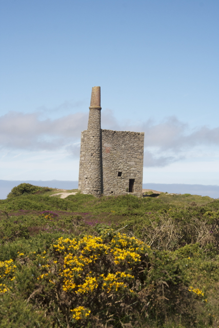
Mill, New is also steeped in history, with several historic landmarks dotting the area. The medieval Mill Castle, perched atop a hill, is a prominent feature of the village and attracts visitors from far and wide. The village church, with its intricate architecture and stained glass windows, is another notable sight.

In terms of amenities, Mill, New offers a range of facilities to cater to its residents. There are several quaint shops and local businesses, providing everything from groceries to handmade crafts. The village also boasts a well-regarded primary school, ensuring that the younger generation receives an excellent education.

For those seeking leisure activities, Mill, New has a thriving community center that hosts various events and activities throughout the year. From art exhibitions to music festivals, there is always something happening in this vibrant village.

In summary, Mill, New is a charming and picturesque village in Cornwall, known for its natural beauty, historic landmarks, and close-knit community. Whether it's exploring the breathtaking coastline or immersing oneself in the rich history, this village offers a delightful experience for residents and visitors alike.

If you have any feedback on the listing, please let us know in the comments section below.
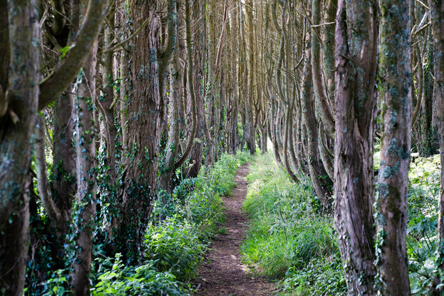
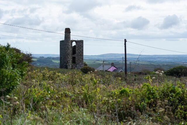
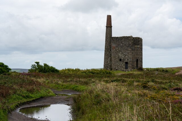
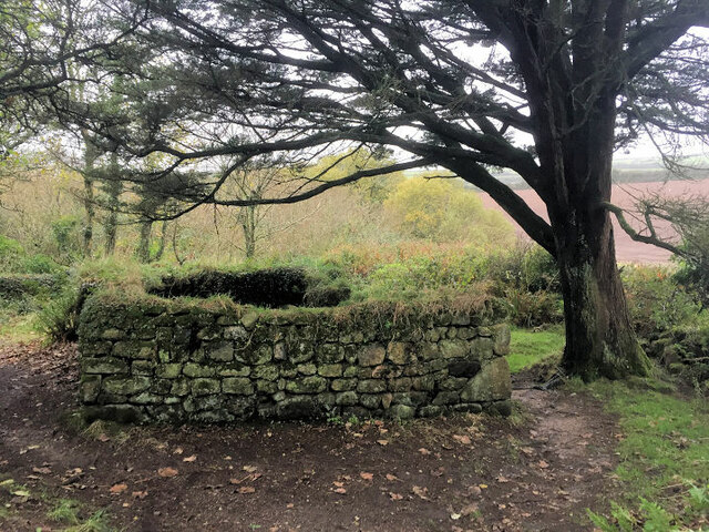
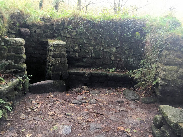
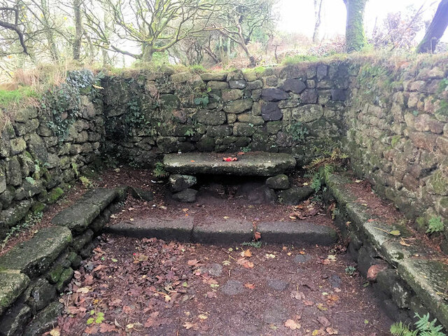
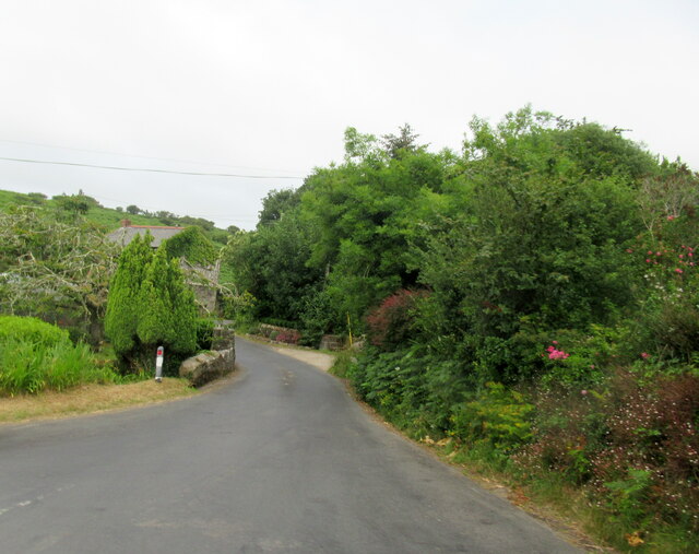
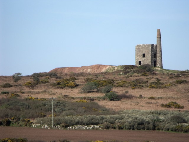
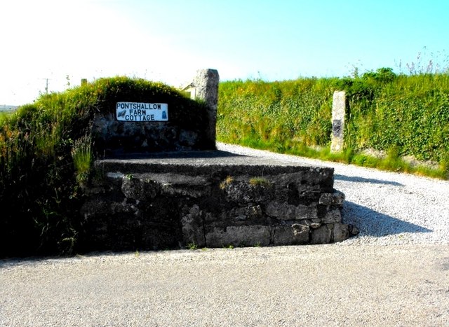
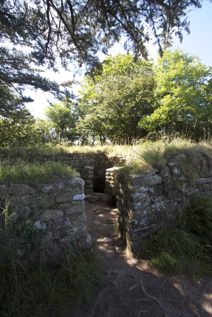
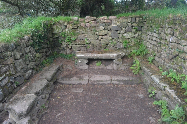
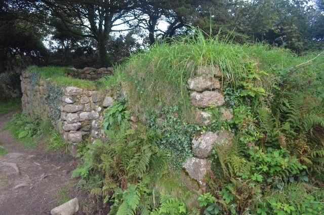
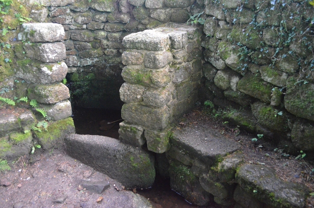
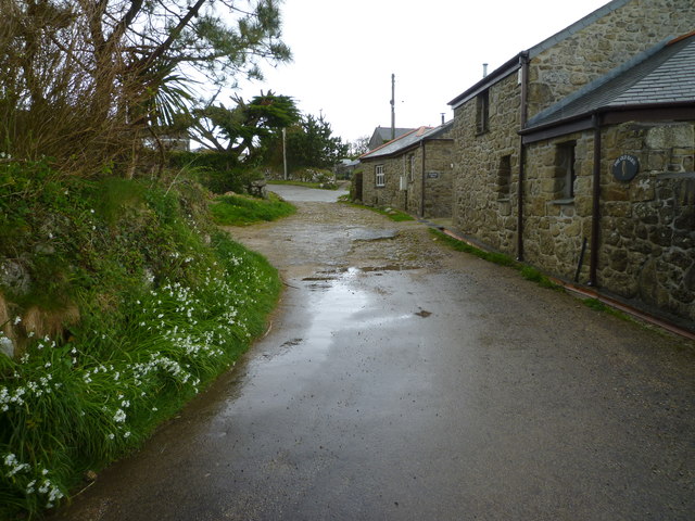
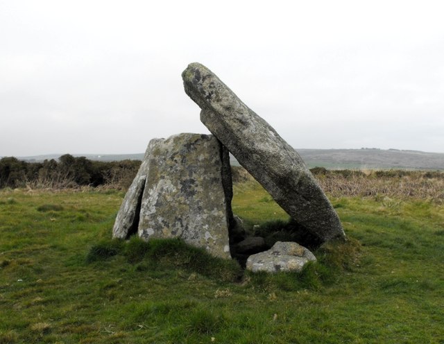
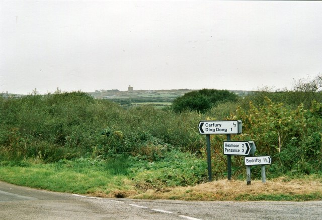
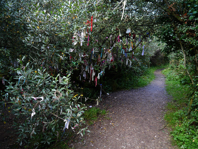
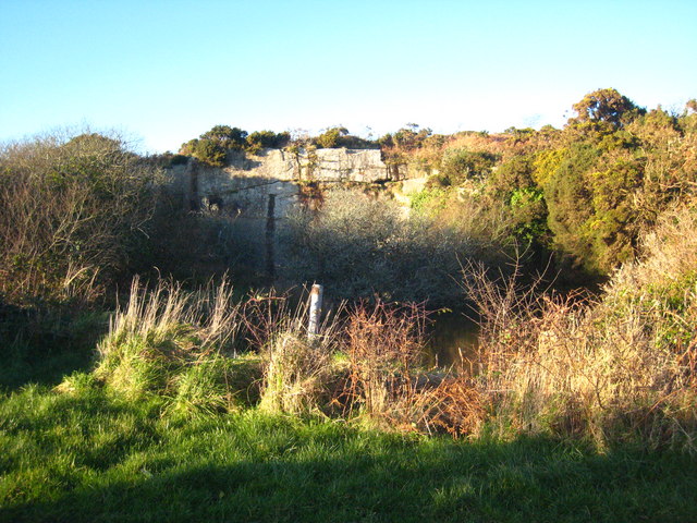
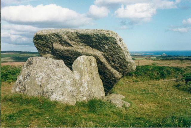
Mill, New Images

Images are sourced within 2km of 50.151094/-5.5709715 or Grid Reference SW4534. Thanks to Geograph Open Source API. All images are credited.

Footpath near Holy Madron Well
Ding Dong mines in Penwith
Chimney and shaft buildings as part of Ding Dong Mines in Penwith
Madron Well Chapel
Madron Well Chapel
Inside Madron Well Chapel
Madron Well Chapel
Madron Well Chapel
Road junction and bridge over stream, Newmill
Engine house at Ding Dong mine, Cornwall
Standing out Another redundant milk-churn stand in Penwith.
Standing out
Another redundant milk-churn stand in Penwith.
Madron Chapel
Madron Chapel
Ding Dong Mine Engine House
Madron Chapel An ancient chapel with the altar stone in situ.
Madron Chapel
An ancient chapel with the altar stone in situ.
Madron Chapel A view of the pre-Christian chapel and well.
Madron Chapel
A view of the pre-Christian chapel and well.
Madron Chapel Madron Chapel, a pre-Christian chapel in the middle of nowhere.
Madron Chapel
Madron Chapel, a pre-Christian chapel in the middle of nowhere.
Mulfra Quoit A neolithic Penwithian chamber tomb.
Mulfra Quoit
A neolithic Penwithian chamber tomb.
Junction of lanes south of Carfury
The cloutie tree near Madron Well 'Clouties' are strips of fabric which are attached to the tree near this holy well - as the fabric decays the ailment from which the supplicant is suffering is said to fade away.
The cloutie tree near Madron Well
'Clouties' are strips of fabric which are attached to the tree near this holy well - as the fabric decays the ailment from which the supplicant is suffering is said to fade away.
Show me another place!

Mill, New is located at Grid Ref: SW4534 (Lat: 50.151094, Lng: -5.5709715)

Unitary Authority: Cornwall

Police Authority: Devon and Cornwall

What 3 Words

///glory.towns.alert. Near Penzance, Cornwall

Related Wikis

Carfury

Carfury is a hamlet in west Cornwall, England, United Kingdom. It is situated in Penwith approximately three miles (5 km) northwest of Penzance. It is...

New Mill, Cornwall

New Mill (Newmill on Ordnance Survey maps) is a small settlement in west Cornwall, England. It is approximately 2 miles (3.2 km) north of Penzance on the...

Mulfra

Mulfra is a hamlet in the parish of Madron, Cornwall, England and is on the southern slope of Mulfra Hill. Nearby is the Scheduled monument, Mulfra Quoit...

Carfury Standing Stone

Carfury Standing Stone is a standing stone in Penwith, Cornwall, about 4km northwest of Penzance. Also called Cuckoo Rock, the stone stands around 3m tall...

Nearby Amenities

Located within 500m of 50.151094,-5.5709715
Trythall
Is In: Cornwall, England, UK
Is In Country: England
Is In Country Code: GB
Is In County: Cornwall
Place: hamlet
Source: npe
Lat/Long: 50.148645/-5.5731262
Carfury
Is In: Cornwall, England, UK
Is In Country: England
Is In Country Code: GB
Is In County: Cornwall
Name Kw: Karnfuri
Place: hamlet
Source: npe
Wikidata: Q5039247
Lat/Long: 50.1525774/-5.5769199
Lower Ninnes
Is In: Cornwall, England, UK
Name Kw: Enys Woles
Place: hamlet
Lat/Long: 50.1529576/-5.5690299
All Saints Trythall
Disused Amenity: place_of_worship
Lat/Long: 50.1527873/-5.567497
Power: pole
Lat/Long: 50.1521291/-5.5745339
Power: pole
Lat/Long: 50.1531069/-5.5757548
Power: pole
Lat/Long: 50.1535596/-5.57596
Power: pole
Lat/Long: 50.1526033/-5.5751032
Power: pole
Lat/Long: 50.1550297/-5.5688211
Power: pole
Lat/Long: 50.1548596/-5.5693308
Power: pole
Lat/Long: 50.1546121/-5.5699798
Power: pole
Lat/Long: 50.1542117/-5.5706826
Power: pole
Lat/Long: 50.1538405/-5.5713424
Power: pole
Lat/Long: 50.1533318/-5.572257
Power: pole
Lat/Long: 50.1528334/-5.5730791
Power: pole
Lat/Long: 50.1524923/-5.5736652
Power: pole
Lat/Long: 50.1520618/-5.5744216
Power: pole
Lat/Long: 50.1516304/-5.5751592
Power: pole
Lat/Long: 50.1510718/-5.5759102
Power: pole
Lat/Long: 50.1505871/-5.5766103
Power: pole
Lat/Long: 50.1501609/-5.5772232
Power: pole
Transformer: distribution
Lat/Long: 50.1505296/-5.5764762
Power: pole
Lat/Long: 50.1500105/-5.5754583
Power: pole
Lat/Long: 50.1494674/-5.5744055
Power: pole
Transformer: distribution
Lat/Long: 50.1490077/-5.5735713
Power: pole
Lat/Long: 50.1543483/-5.5679856
Power: pole
Lat/Long: 50.153685/-5.5671823
Power: pole
Transformer: distribution
Lat/Long: 50.1532201/-5.5666257
Power: pole
Lat/Long: 50.1524751/-5.5664273
Power: pole
Lat/Long: 50.1517576/-5.5661698
Power: pole
Transformer: distribution
Lat/Long: 50.1511079/-5.5659217
Power: pole
Lat/Long: 50.1505107/-5.5657379
Power: pole
Lat/Long: 50.1498103/-5.5655207
Power: pole
Lat/Long: 50.1492801/-5.5653249
The data included in this document is from www.openstreetmap.org. The data is made available under ODbL.

Have you been to Mill, New?

Leave your review of Mill, New below (or comments, questions and feedback).