New Mill
Settlement in Wiltshire
England
New Mill

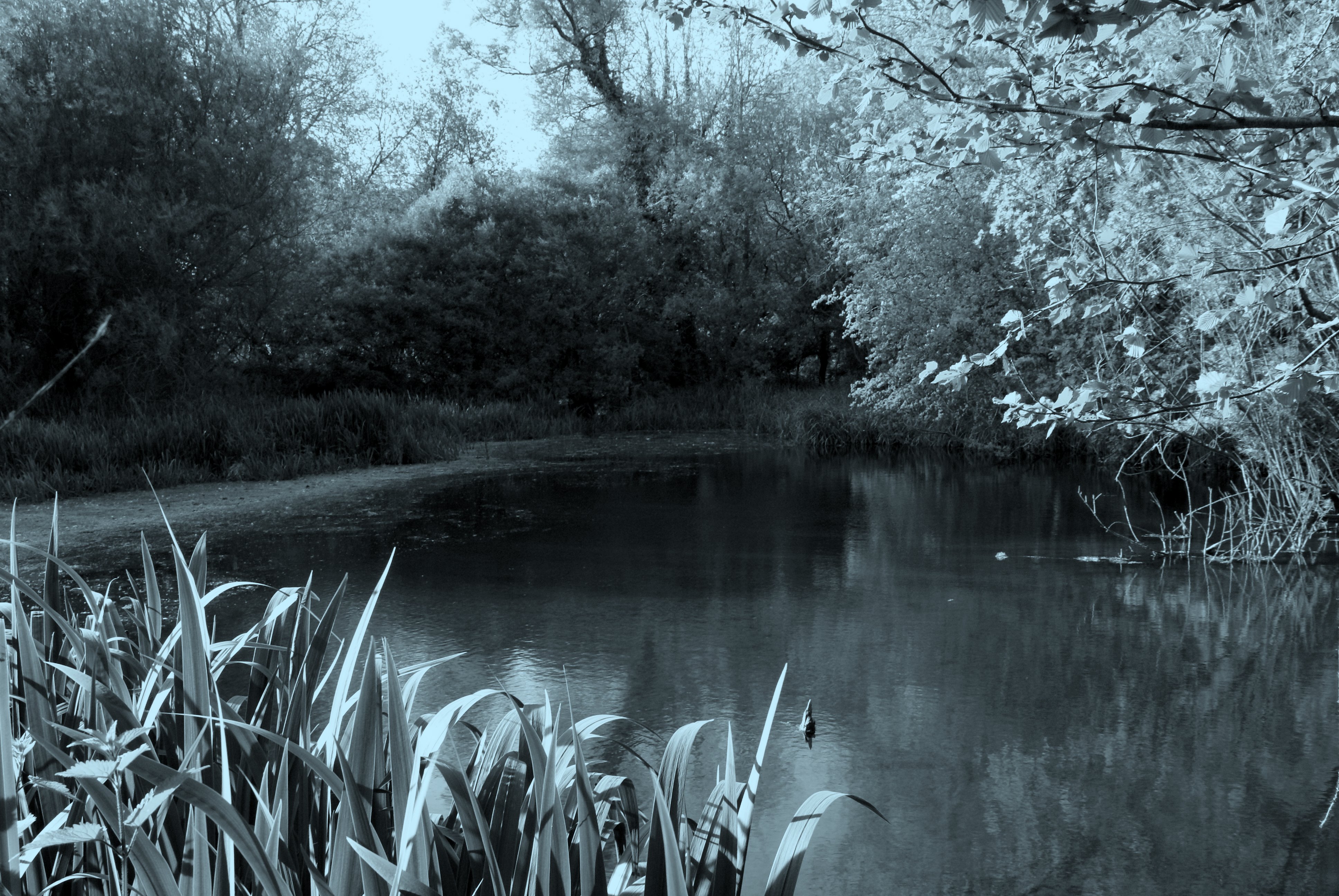
New Mill is a small village located in the county of Wiltshire, in the southwest of England. Situated near the town of Calne, New Mill is surrounded by picturesque countryside, including rolling hills and lush green fields. The village is home to a mix of traditional stone cottages and more modern houses, creating a charming and peaceful atmosphere.
New Mill is known for its strong sense of community, with residents often coming together for events and activities such as village fairs and fundraisers. The village also has a local pub, providing a central meeting point for locals and visitors alike.
In terms of amenities, New Mill has a primary school, making it an ideal location for families with young children. The village is also well-connected to nearby towns and cities, with good transport links by road and public transport.
Overall, New Mill offers a tranquil and idyllic setting for those looking to escape the hustle and bustle of city life, while still being within easy reach of urban conveniences.
If you have any feedback on the listing, please let us know in the comments section below.
New Mill Images
Images are sourced within 2km of 51.355961/-1.737603 or Grid Reference SU1861. Thanks to Geograph Open Source API. All images are credited.


![Four ways to go [1] A track crosses the bridleway at this point. This is the bridleway looking west towards Fyfield.](https://s2.geograph.org.uk/geophotos/05/55/30/5553074_61f7e533.jpg)
![Four ways to go [2] A track crosses the bridleway at this point. This is the bridleway looking east towards Milton Lilbourne.](https://s3.geograph.org.uk/geophotos/05/55/30/5553075_fad2255b.jpg)
![Four ways to go [3] A track crosses the bridleway at this point. This is the track looking north towards Abbey Farm.](https://s0.geograph.org.uk/geophotos/05/55/30/5553076_28e6299b.jpg)
![Four ways to go [4] A track crosses the bridleway at this point. This is the track looking south which leads to some animal houses.](https://s1.geograph.org.uk/geophotos/05/55/30/5553077_dd72a721.jpg)


New Mill is located at Grid Ref: SU1861 (Lat: 51.355961, Lng: -1.737603)
Unitary Authority: Wiltshire
Police Authority: Wiltshire
What 3 Words
///lanes.sailor.marzipan. Near Pewsey, Wiltshire
Nearby Locations
Related Wikis

Clench, Wiltshire
Clench is a hamlet in Wiltshire, England, in the Vale of Pewsey to the east of Wootton Rivers. It is in the civil parish of Milton Lilbourne. Its nearest...
Fyfield, Milton Lilbourne
Fyfield is a small hamlet about 1 mile (1.6 km) east of Pewsey, Wiltshire, England. It is to be distinguished from the larger village of Fyfield, three...

Milton Lilbourne
Milton Lilbourne is a village and civil parish in the county of Wiltshire, England, in the Vale of Pewsey between Pewsey and Burbage. It is largely a mixed...
Jones's Mill
Jones's Mill (grid reference SU168613) is an 11.6 hectare biological Site of Special Scientific Interest near Pewsey in Wiltshire, notified in 1975. The...
Nearby Amenities
Located within 500m of 51.355961,-1.737603Have you been to New Mill?
Leave your review of New Mill below (or comments, questions and feedback).