Ninnes
Settlement in Cornwall
England
Ninnes
Ninnes is a small village located in the county of Cornwall, in southwestern England. Situated in the civil parish of St Enoder, it is nestled amidst the picturesque countryside, surrounded by rolling hills and farmland. The village is approximately 8 miles east of the popular coastal town of Newquay and 8 miles west of the city of Truro.
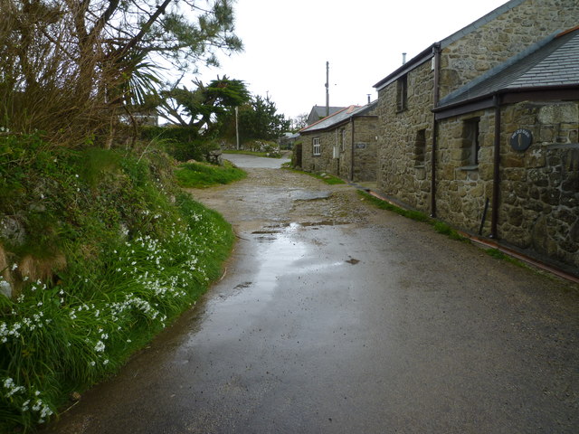
This quaint village is known for its traditional charm and tranquil atmosphere. It features a cluster of residential houses, some of which date back several centuries, adding to the village's historical appeal. The local community is tight-knit, with a friendly and welcoming vibe that is characteristic of rural Cornish villages.
Ninnes is predominantly a residential area, with limited amenities. However, its proximity to nearby towns ensures that residents have easy access to services such as shops, schools, and healthcare facilities. The village is also well-connected by road, with the A30 and A39 trunk roads providing convenient transportation links to other parts of Cornwall.
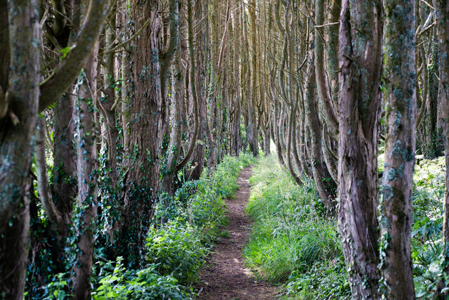
For outdoor enthusiasts, Ninnes offers ample opportunities for exploring the natural beauty of the surrounding countryside. The nearby Goss Moor Nature Reserve provides a haven for wildlife and offers walking trails for those wishing to immerse themselves in nature. The village is also a short drive away from the stunning Cornish coastline, allowing residents to enjoy the sandy beaches and coastal walks that Cornwall is famous for.
In summary, Ninnes is a charming village located in the heart of Cornwall, offering a peaceful retreat for those seeking a rural lifestyle while still being within easy reach of amenities and natural attractions.
If you have any feedback on the listing, please let us know in the comments section below.
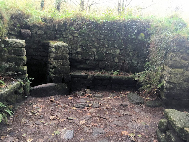
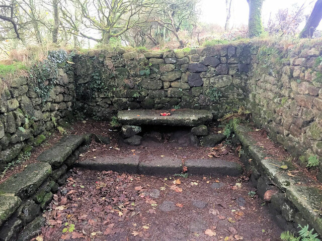
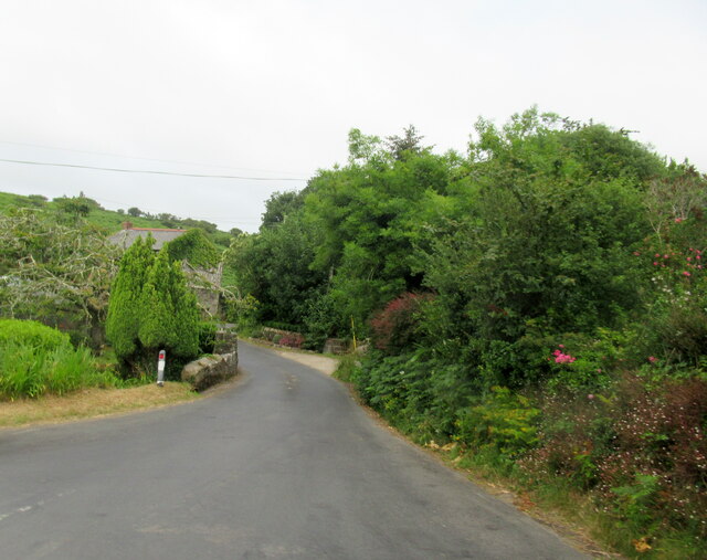
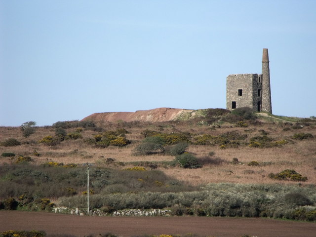
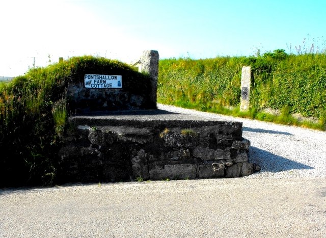
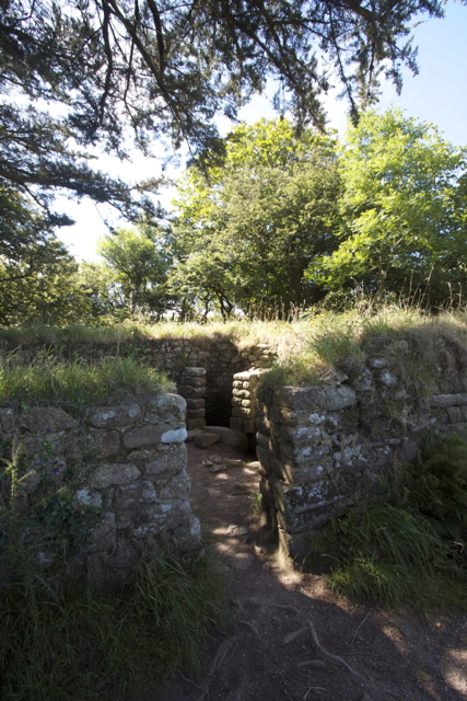
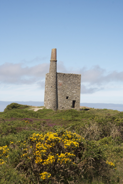
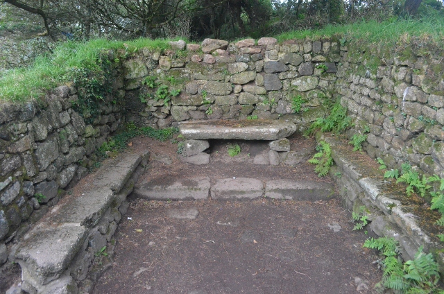
Ninnes Images
Images are sourced within 2km of 50.151094/-5.5709715 or Grid Reference SW4534. Thanks to Geograph Open Source API. All images are credited.
Ninnes is located at Grid Ref: SW4534 (Lat: 50.151094, Lng: -5.5709715)
Unitary Authority: Cornwall
Police Authority: Devon and Cornwall
What 3 Words
///glory.towns.alert. Near Penzance, Cornwall
Nearby Locations
Related Wikis
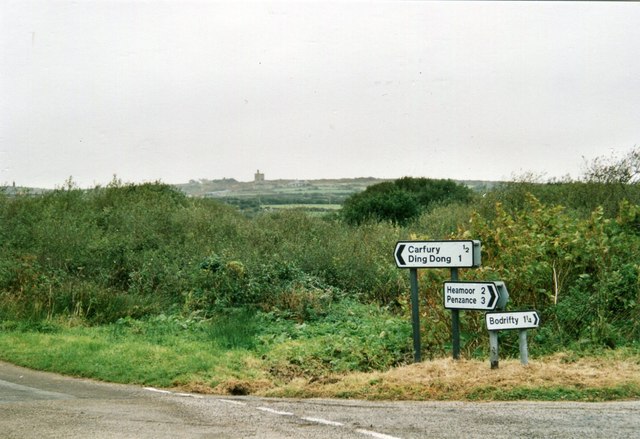
Carfury
Carfury is a hamlet in west Cornwall, England, United Kingdom. It is situated in Penwith approximately three miles (5 km) northwest of Penzance. It is...

New Mill, Cornwall
New Mill (Newmill on Ordnance Survey maps) is a small settlement in west Cornwall, England. It is approximately 2 miles (3.2 km) north of Penzance on the...
Mulfra
Mulfra is a hamlet in the parish of Madron, Cornwall, England and is on the southern slope of Mulfra Hill. Nearby is the Scheduled monument, Mulfra Quoit...

Carfury Standing Stone
Carfury Standing Stone is a standing stone in Penwith, Cornwall, about 4km northwest of Penzance. Also called Cuckoo Rock, the stone stands around 3m tall...

Boskednan
Boskednan (Cornish: Boskednan) is a hamlet near Mulfra Hill northwest of Penzance in west Cornwall, England, United Kingdom. It is in the civil parish...

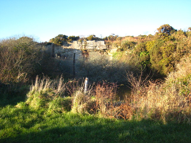
Bodrifty
Bodrifty is the modern name of an Iron Age village, now in ruins, in Cornwall, England, United Kingdom. It is 700 yards west of Mulfra Hill in Penwith...

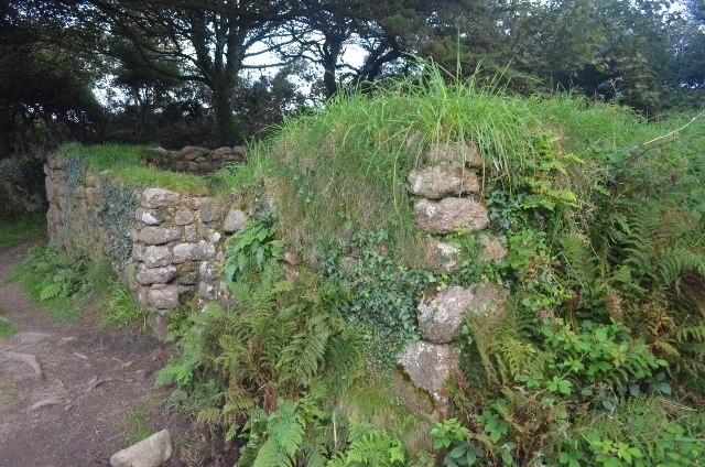
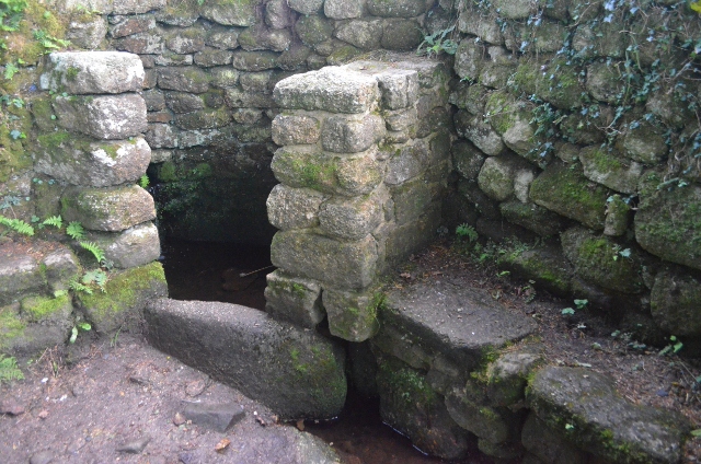
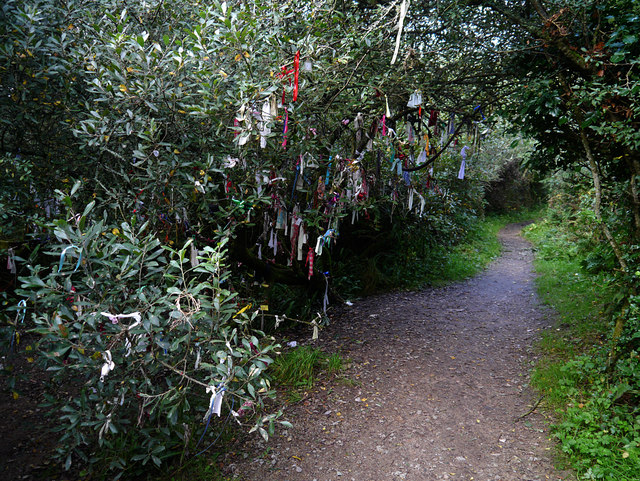
Madron Well and Madron Well Chapel
Madron Well and Madron Well Chapel is a scheduled Ancient Monument in the civil parish of Madron, Cornwall, UK. Madron Well Chapel (grid reference SW446328...
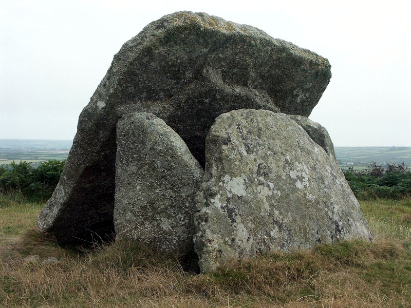
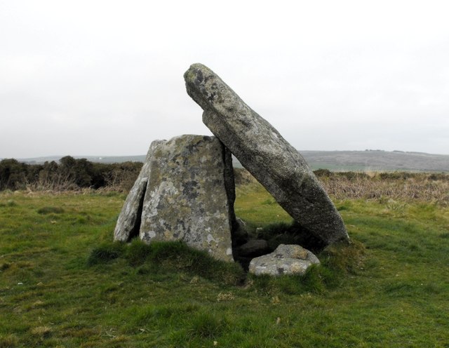
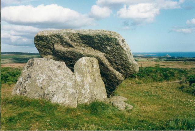
Mulfra Quoit
Mulfra Quoit (grid reference SW451353) is a Neolithic dolmen in the county of Cornwall in England. It stands on Mulfra Hill to the north of the hamlet...
Nearby Amenities
Located within 500m of 50.151094,-5.5709715Have you been to Ninnes?
Leave your review of Ninnes below (or comments, questions and feedback).