New Mill
Settlement in Cornwall
England
New Mill
New Mill is a small village located in the county of Cornwall, England. Situated in the southern part of the county, it is nestled within the picturesque countryside and offers stunning views of the surrounding landscape. The village is part of the civil parish of Redruth and is situated approximately 2 miles east of the town of Redruth.
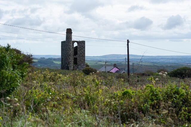
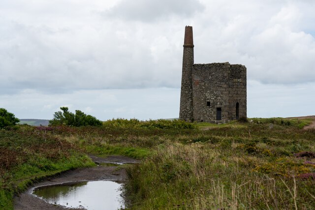
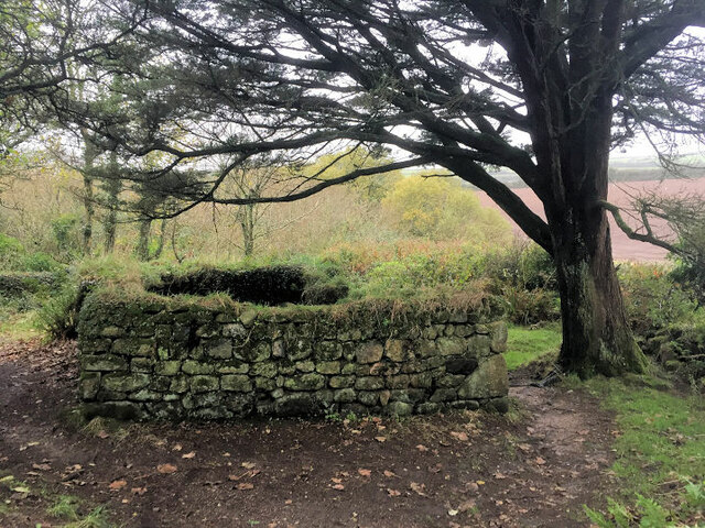
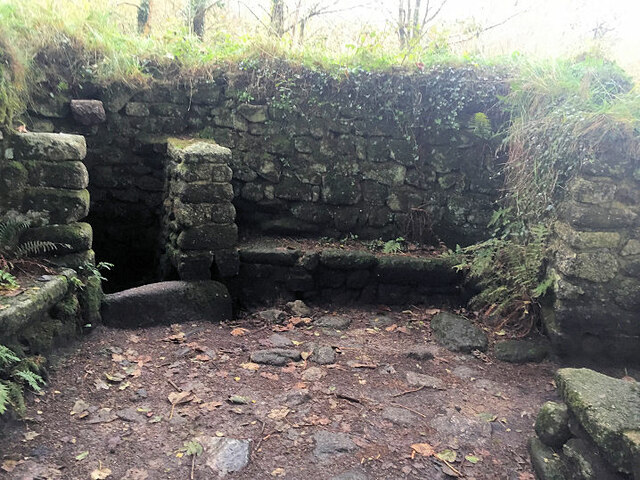
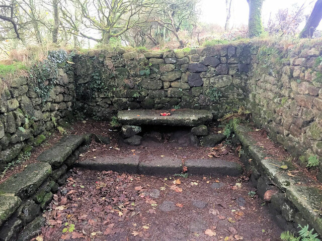
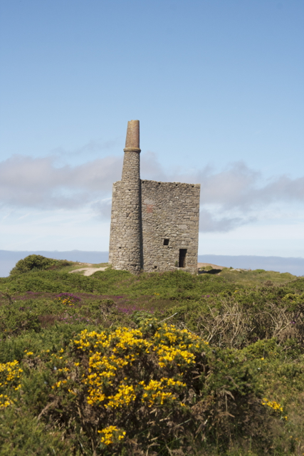
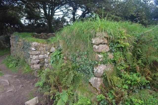
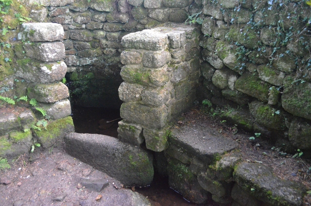
New Mill is known for its rich history, dating back to the 18th century when it was primarily an agricultural area. The village takes its name from the nearby mill that was used to grind corn during this time. Today, remnants of this historic mill can still be seen, adding to the village's charm and character.
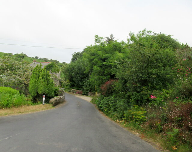
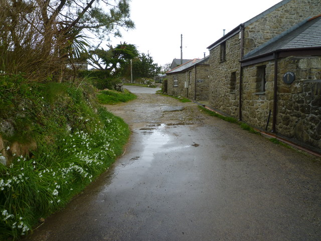
The village itself is quaint and peaceful, providing a tranquil retreat for residents and visitors alike. It features a mix of traditional stone cottages and more modern houses, blending together seamlessly. The community is tight-knit, with a friendly and welcoming atmosphere.
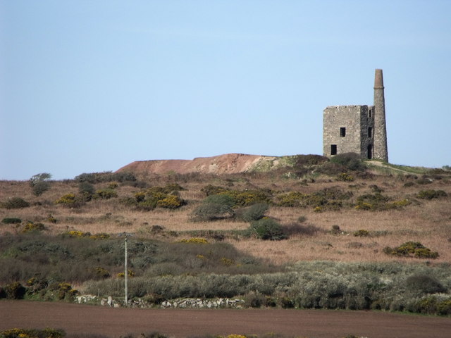
While New Mill is primarily a residential area, it benefits from its close proximity to Redruth, which offers a wider range of amenities, including shops, restaurants, and schools. The village also benefits from its location near the rugged coastline of Cornwall, providing easy access to stunning beaches and coastal walks.
Overall, New Mill is a delightful village that offers a tranquil escape from the hustle and bustle of city life. Its rich history, beautiful surroundings, and friendly community make it a desirable place to live or visit for those seeking a peaceful slice of rural Cornwall.
If you have any feedback on the listing, please let us know in the comments section below.
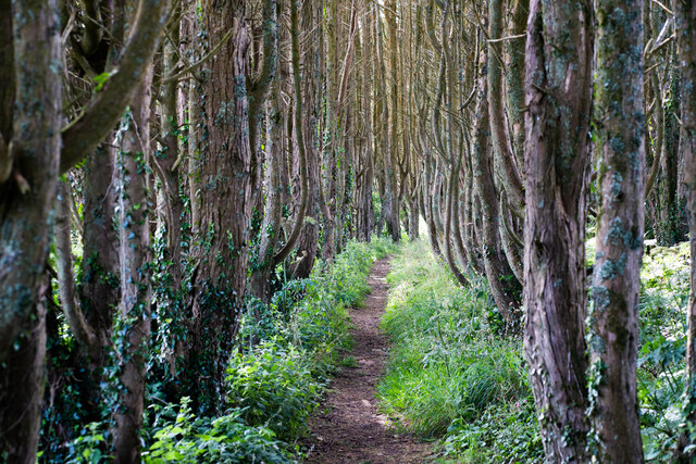
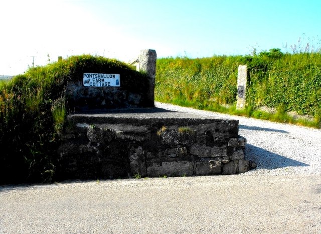
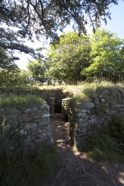
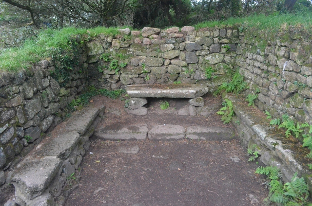
New Mill Images
Images are sourced within 2km of 50.151094/-5.5709715 or Grid Reference SW4534. Thanks to Geograph Open Source API. All images are credited.
New Mill is located at Grid Ref: SW4534 (Lat: 50.151094, Lng: -5.5709715)
Unitary Authority: Cornwall
Police Authority: Devon and Cornwall
What 3 Words
///glory.towns.alert. Near Penzance, Cornwall
Nearby Locations
Related Wikis
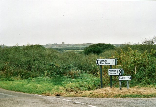
Carfury
Carfury is a hamlet in west Cornwall, England, United Kingdom. It is situated in Penwith approximately three miles (5 km) northwest of Penzance. It is...

New Mill, Cornwall
New Mill (Newmill on Ordnance Survey maps) is a small settlement in west Cornwall, England. It is approximately 2 miles (3.2 km) north of Penzance on the...
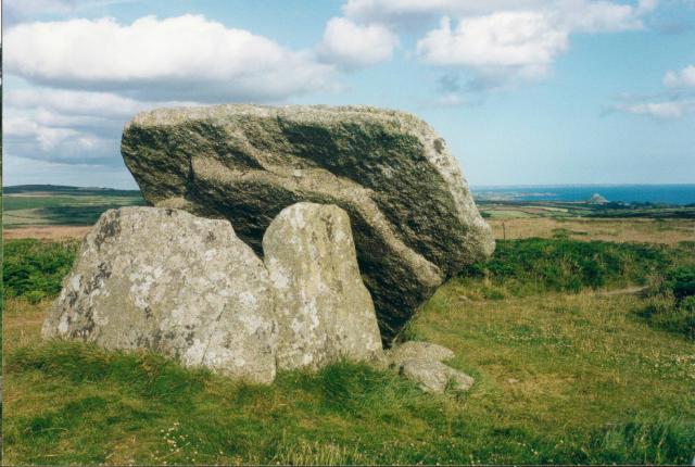
Mulfra
Mulfra is a hamlet in the parish of Madron, Cornwall, England and is on the southern slope of Mulfra Hill. Nearby is the Scheduled monument, Mulfra Quoit...

Carfury Standing Stone
Carfury Standing Stone is a standing stone in Penwith, Cornwall, about 4km northwest of Penzance. Also called Cuckoo Rock, the stone stands around 3m tall...
Nearby Amenities
Located within 500m of 50.151094,-5.5709715Have you been to New Mill?
Leave your review of New Mill below (or comments, questions and feedback).