Ningwood Common
Settlement in Hampshire
England
Ningwood Common

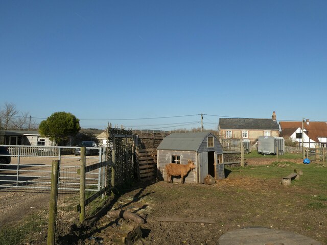
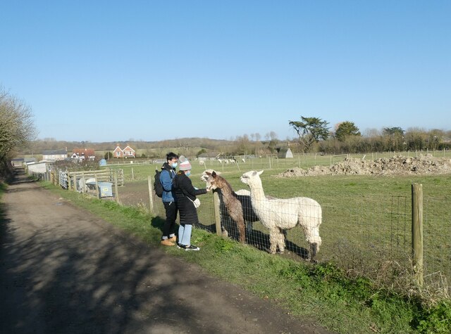
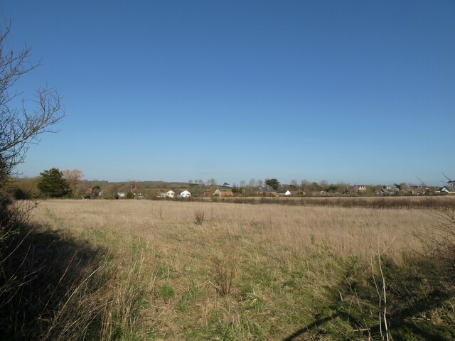
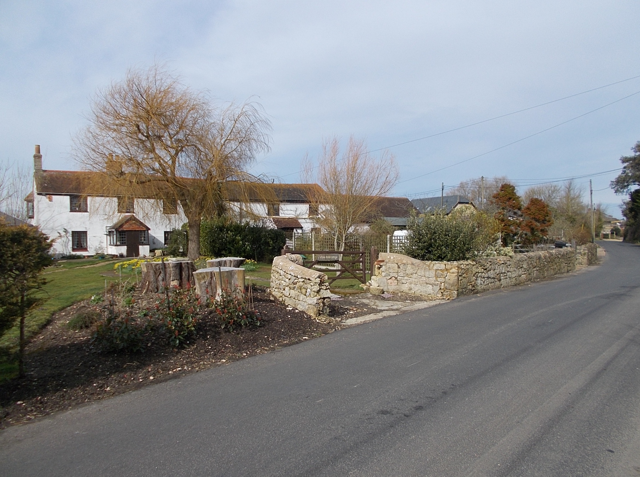
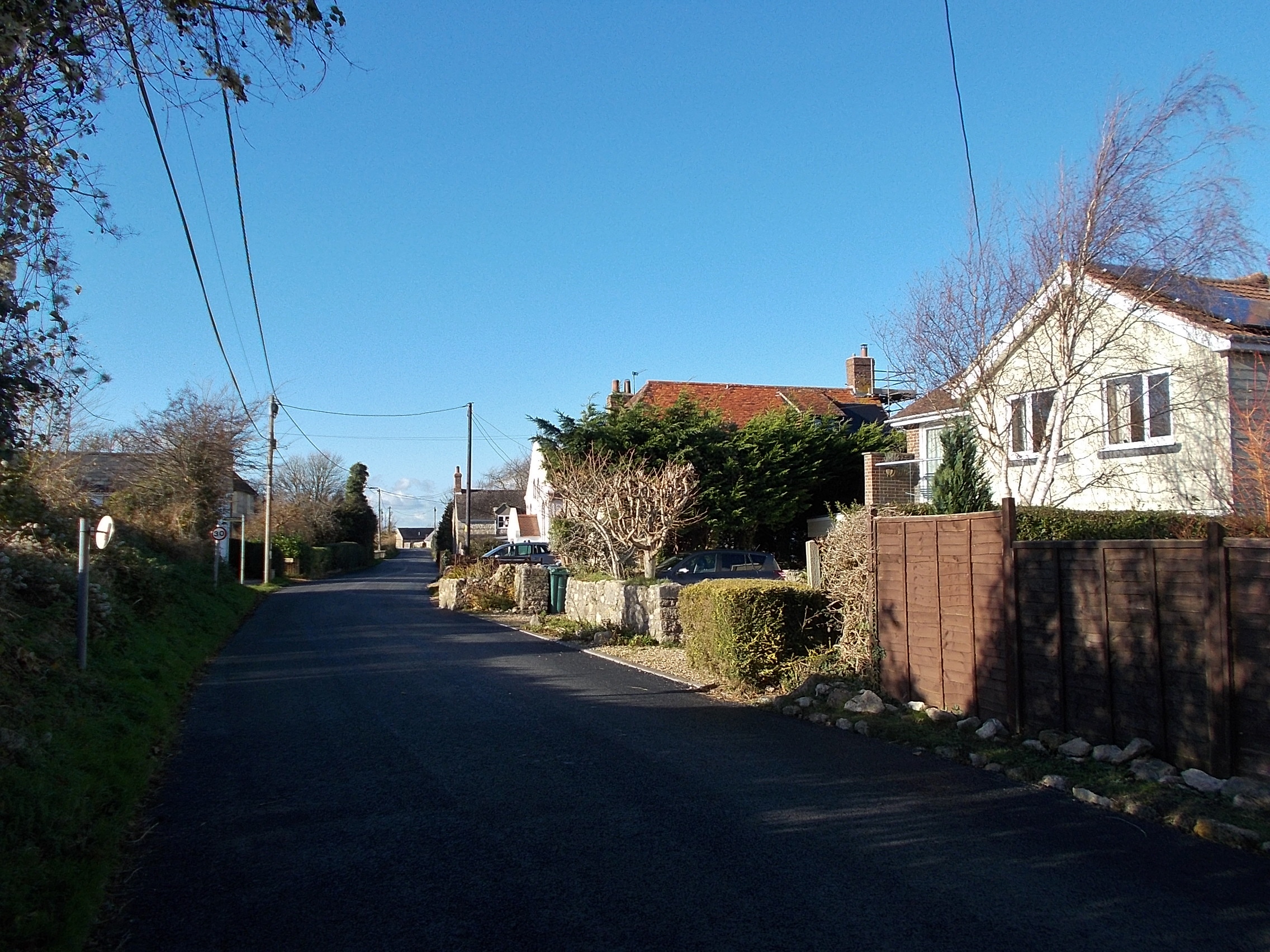
Ningwood Common is a picturesque area located in the county of Hampshire, England. It is a designated common land that covers an area of approximately 50 acres, and is situated within the West Wight area of the Isle of Wight. The common is surrounded by beautiful countryside, with rolling hills and dense woodlands, making it an ideal destination for nature enthusiasts and walkers.
The common is home to a diverse range of flora and fauna, including a variety of bird species such as woodpeckers, owls, and finches. It also boasts an abundance of wildflowers during the spring and summer months, providing a colorful and vibrant landscape.
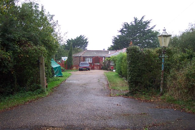
Visitors to Ningwood Common can enjoy a peaceful and tranquil atmosphere, as it is relatively secluded and less crowded compared to other tourist spots. The common offers several walking trails that meander through the woods, providing opportunities for leisurely strolls and exploration. There are also picnic spots dotted around the area, allowing visitors to relax and enjoy the natural surroundings.
Ningwood Common holds great historical significance, with evidence of ancient settlements and burial mounds dating back to prehistoric times. It has also been used as a grazing ground for local livestock throughout the centuries.
Overall, Ningwood Common is a hidden gem in Hampshire, offering a serene escape from the hustle and bustle of daily life. Its natural beauty, rich biodiversity, and historical significance make it a must-visit destination for anyone seeking a peaceful retreat in the heart of nature.
If you have any feedback on the listing, please let us know in the comments section below.
Ningwood Common Images
Images are sourced within 2km of 50.699342/-1.4491432 or Grid Reference SZ3989. Thanks to Geograph Open Source API. All images are credited.


Ningwood Common is located at Grid Ref: SZ3989 (Lat: 50.699342, Lng: -1.4491432)
Unitary Authority: Isle of Wight
Police Authority: Hampshire
What 3 Words
///broker.contents.efficient. Near Shalfleet, Isle of Wight
Nearby Locations
Related Wikis
Ningwood
Ningwood is a village on the Isle of Wight. It is on several lanes about three miles east of Yarmouth in the northwest of the island. In the 2011 Census...
Wellow, Isle of Wight
Wellow is a village on the Isle of Wight. It is located about two miles east of Yarmouth in the northwest of the island. The name is believed to be of...

Thorley Street
Thorley Street is a village on the Isle of Wight. It is located four kilometres from Totland in the northwest of the island. It is in the civil parish...

Hamstead, Isle of Wight
Hamstead should not be confused with any of the many places called Hampstead.Hamstead is a small rural settlement in the civil parish of Shalfleet, on...
Ningwood railway station
Ningwood railway station, was an intermediate station of the Freshwater, Yarmouth and Newport Railway, incorporated in 1860. == History == It opened...
Bouldnor and Hamstead Cliffs
Bouldnor and Hamstead Cliffs is a 95.7-hectare (236-acre) site of special scientific interest which is located north-east of Yarmouth. The site was notified...
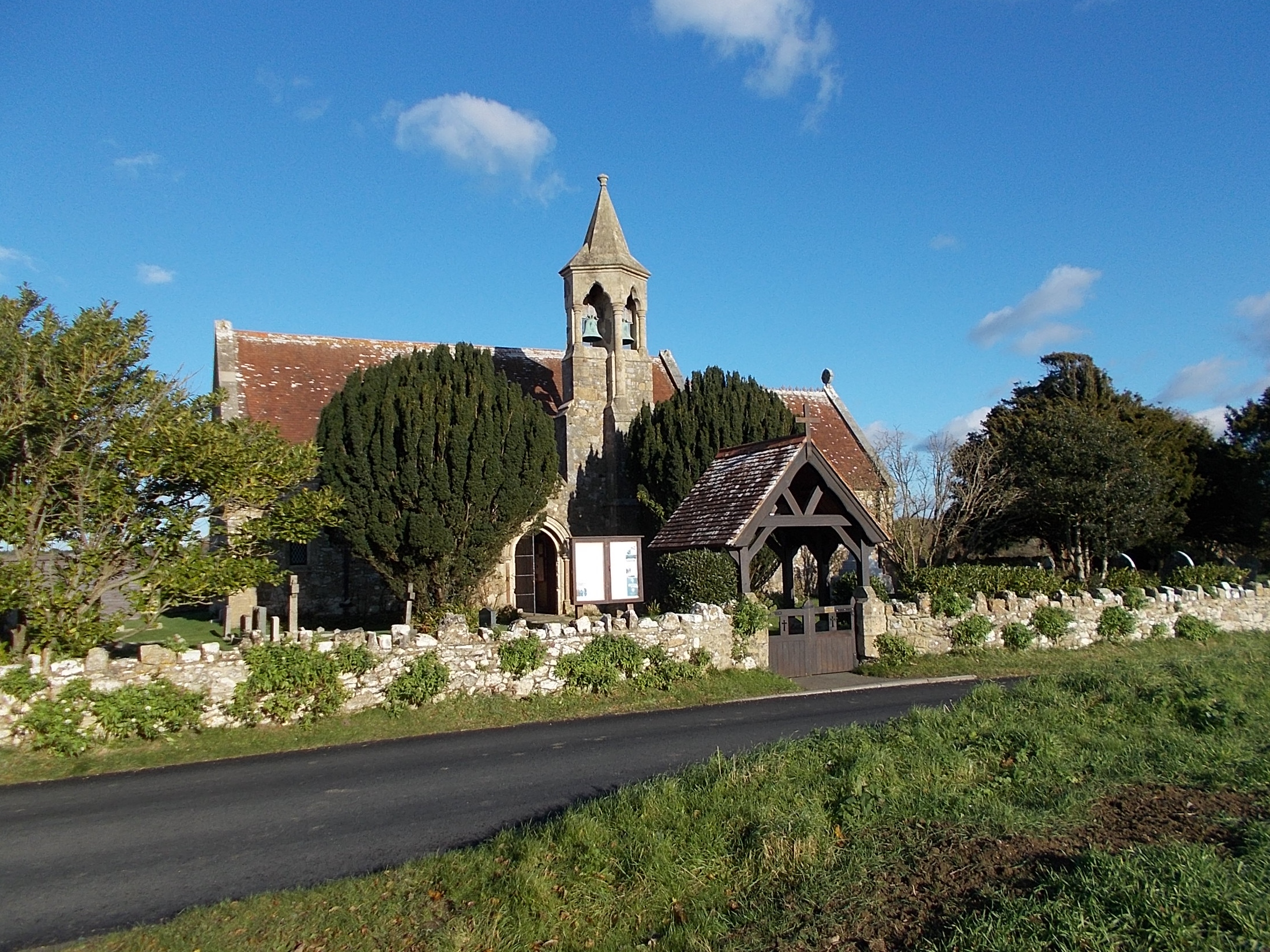
St Swithun's Church, Thorley
St Swithun's Church, Thorley is a parish church in the Church of England located in Thorley, Isle of Wight. == History == The church dates from 1871 and...
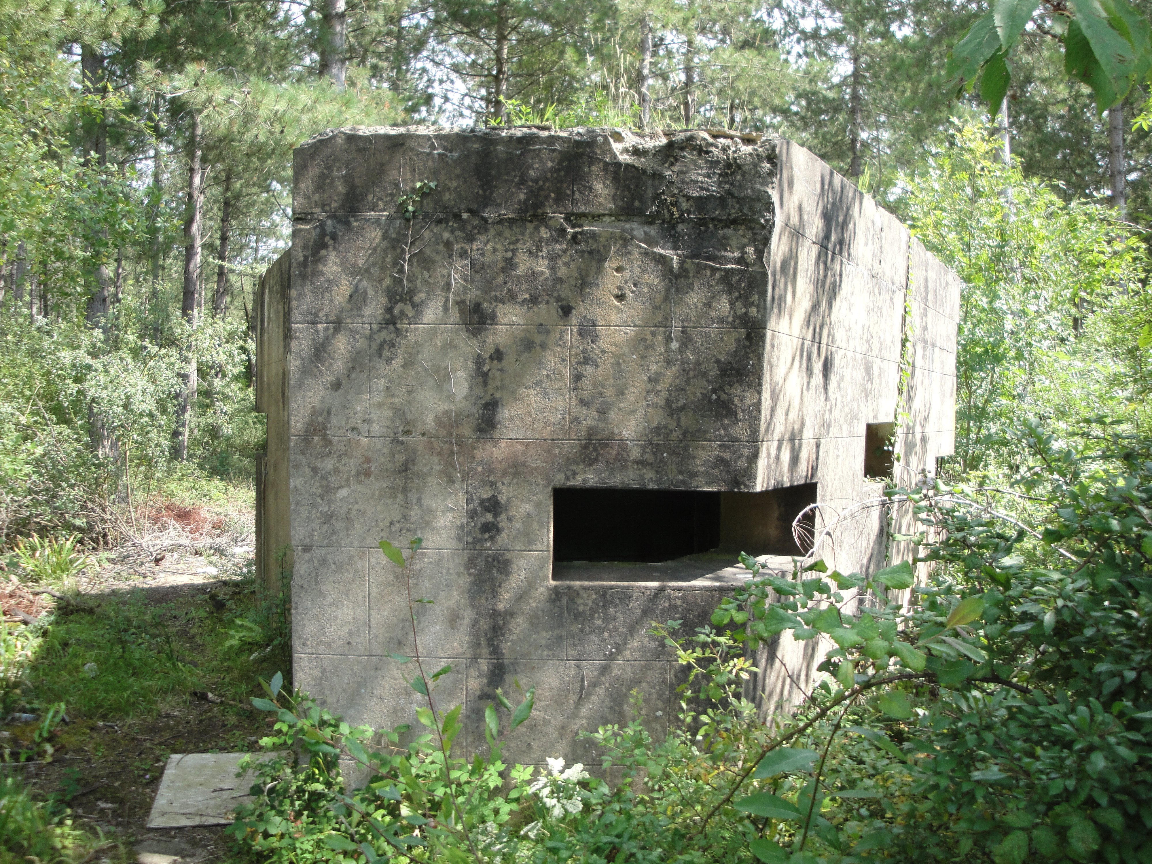
Bouldnor Battery
Bouldnor Battery is a military battery located in Bouldnor on the Isle of Wight. It saw active service in World War II and was fully decommissioned in...
Nearby Amenities
Located within 500m of 50.699342,-1.4491432Have you been to Ningwood Common?
Leave your review of Ningwood Common below (or comments, questions and feedback).