Cow Bottom
Valley in Sussex Mid Sussex
England
Cow Bottom
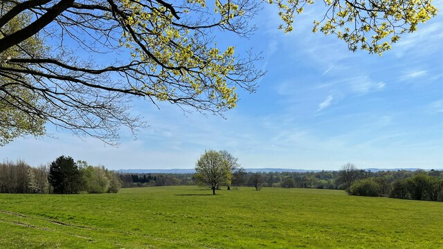
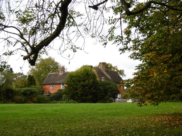
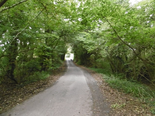
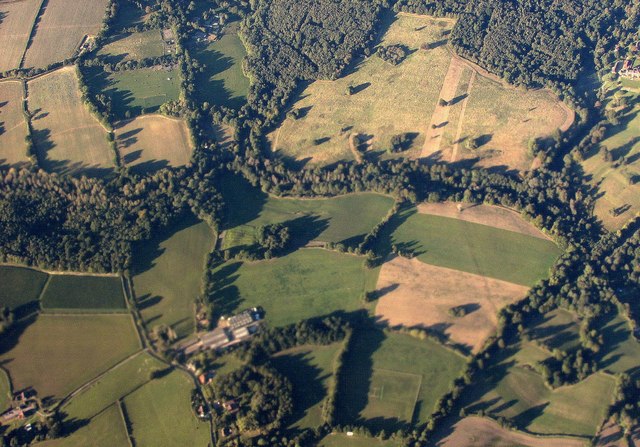
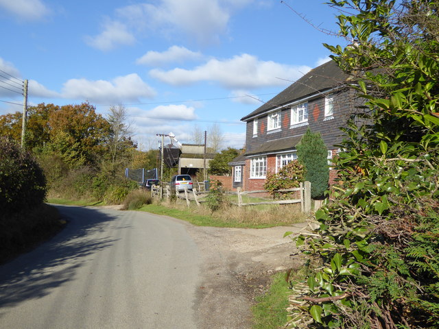
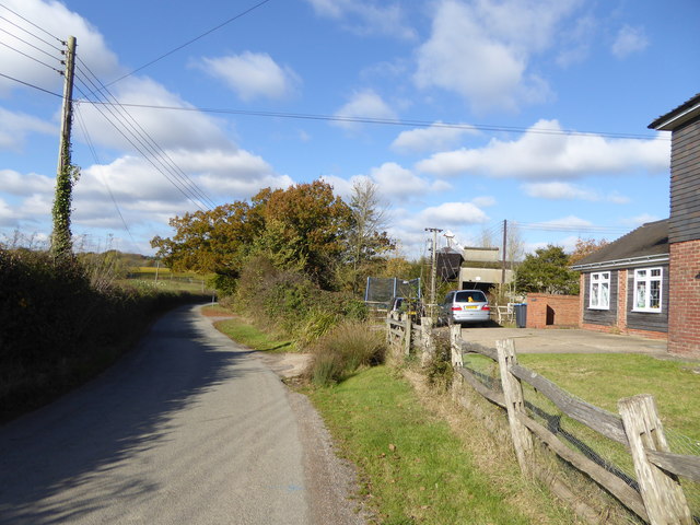
Cow Bottom is a picturesque valley located in the county of Sussex, England. Nestled amidst the rolling hills and meandering streams, this idyllic countryside spot is known for its charming rural beauty and tranquil surroundings. The valley derives its name from the presence of grazing cows that dot the landscape, creating a quintessential English countryside experience.
The valley is surrounded by lush green fields and dotted with quaint farmhouses and barns. The area is predominantly agricultural, with farmers tending to their cattle and cultivating crops. The fertile soil of Cow Bottom supports the growth of various crops, including wheat, barley, and vegetables.
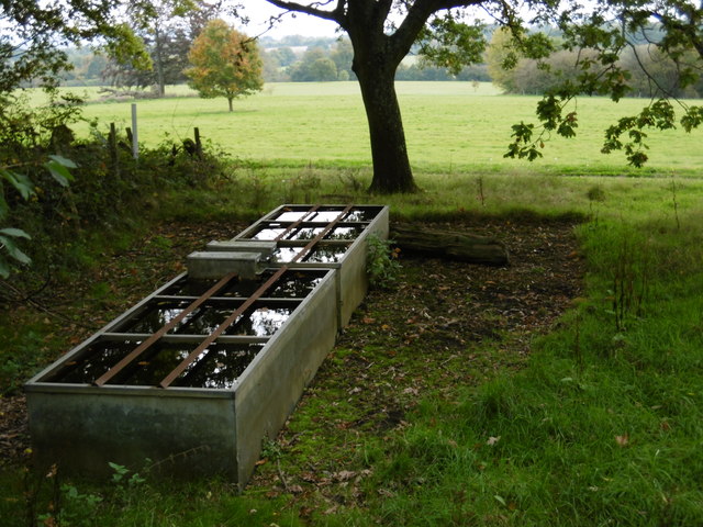
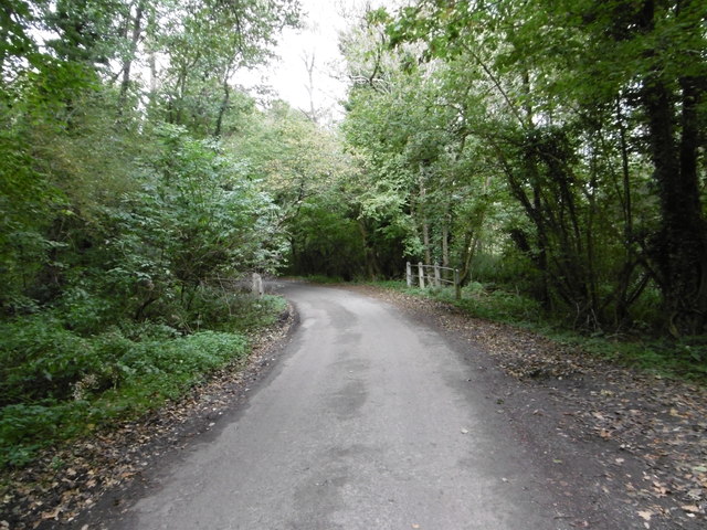
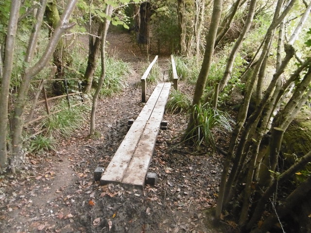
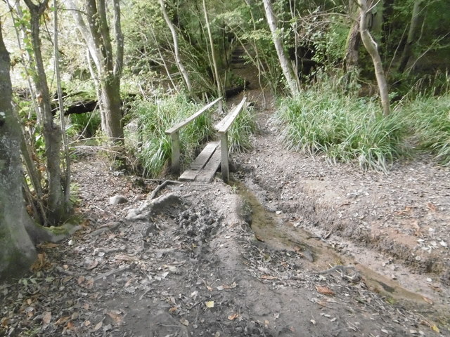
One of the notable features of Cow Bottom is the meandering river that flows through its heart. The river provides a serene backdrop and supports a diverse range of wildlife, including ducks, swans, and various fish species. It also offers opportunities for leisurely walks, picnics, and fishing.
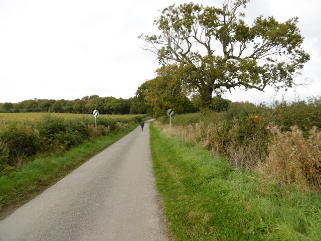
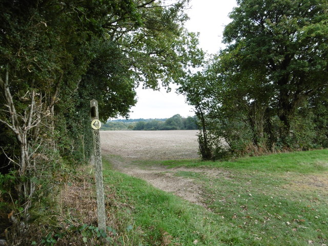
The valley is a haven for nature enthusiasts and hikers, with several walking trails and footpaths that showcase the stunning scenery. Visitors can explore the meadows, woodlands, and hills, taking in the panoramic views that Cow Bottom has to offer.
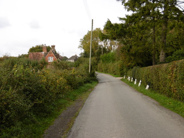
Although Cow Bottom is predominantly rural, it is within close proximity to nearby towns and villages, providing easy access to amenities and services. The peaceful and unspoiled nature of Cow Bottom makes it an ideal retreat for those seeking a break from the hustle and bustle of city life.
Overall, Cow Bottom, Sussex is a charming and tranquil valley that showcases the natural beauty and agricultural heritage of the English countryside.
If you have any feedback on the listing, please let us know in the comments section below.
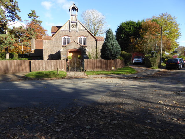
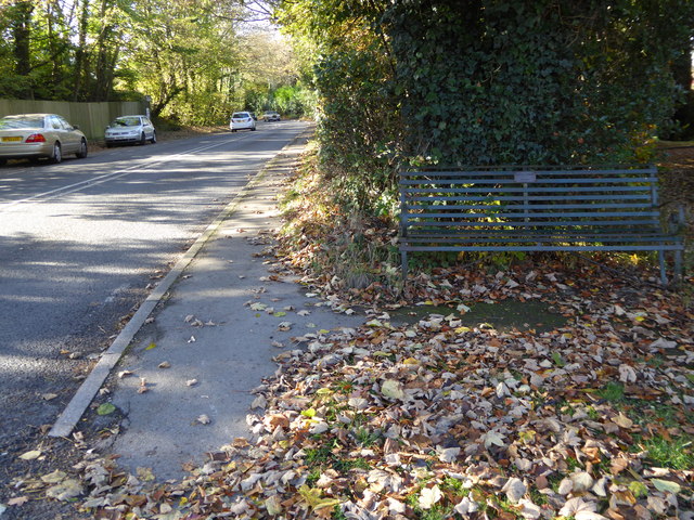
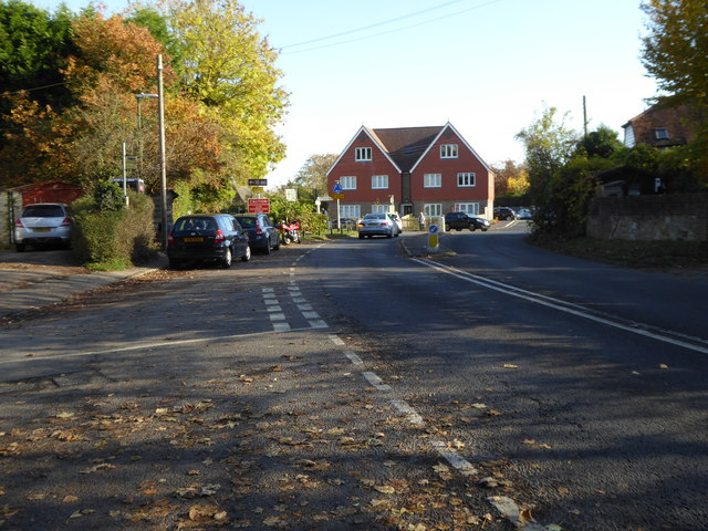
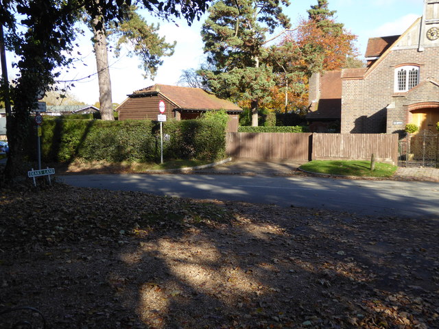
Cow Bottom Images
Images are sourced within 2km of 50.991791/-0.14406108 or Grid Reference TQ3023. Thanks to Geograph Open Source API. All images are credited.
Cow Bottom is located at Grid Ref: TQ3023 (Lat: 50.991791, Lng: -0.14406108)
Administrative County: West Sussex
District: Mid Sussex
Police Authority: Sussex
What 3 Words
///divide.value.beast. Near Cuckfield, West Sussex
Nearby Locations
Related Wikis

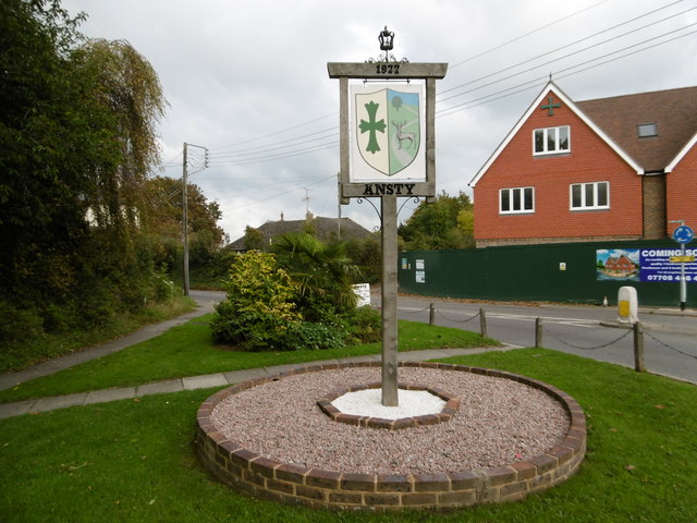
Ansty, West Sussex
Ansty is a village in the Mid Sussex district of West Sussex, England. It lies on the A272 road 1.4 miles (2.2 km) southwest of Cuckfield. It is in the...

Holy Trinity Church, Cuckfield
Holy Trinity Church is an Anglican church in the village of Cuckfield in the district of Mid Sussex; one of seven local government districts in the English...

Whitemans Green
Whiteman's Green is a place in the north of the large village and civil parish of Cuckfield in the Mid Sussex District of West Sussex, England. It is located...
Warden Park Secondary Academy
Warden Park Secondary Academy is a coeducational secondary school based in Cuckfield (near Haywards Heath), West Sussex, England. == Description == There...

Ockenden Manor
Ockenden Manor is located in Cuckfield, West Sussex, England. The building itself dates from 1520 and is operated as a hotel and restaurant by the Historic...

Ashenground and Bolnore Woods
Ashenground and Bolnore Woods is a 14.4-hectare (36-acre) Local Nature Reserve in Haywards Heath in West Sussex. It is owned and managed by Mid Sussex...

Cuckfield
Cuckfield ( KUUK-feeld) is a village and civil parish in the Mid Sussex District of West Sussex, England, on the southern slopes of the Weald. It lies...

Battle of Muster Green
The Battle of Muster Green (also known as the Battle of Haywards Heath) was a minor battle of major significance that took place during the first week...
Nearby Amenities
Located within 500m of 50.991791,-0.14406108Have you been to Cow Bottom?
Leave your review of Cow Bottom below (or comments, questions and feedback).