Halfsmock Bottom
Valley in Sussex Mid Sussex
England
Halfsmock Bottom
Halfsmock Bottom is a scenic valley located in Sussex, a county in southern England. Situated near the town of Steyning, it is renowned for its natural beauty and tranquil surroundings. The valley takes its name from the Old English word "smoc," meaning a fold or crease in the land, which accurately describes its topography.
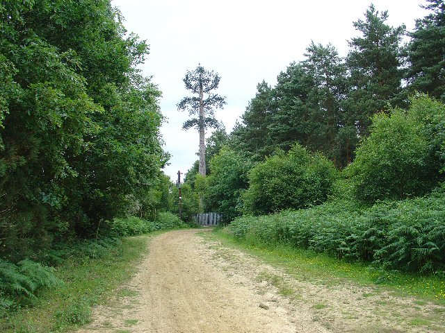
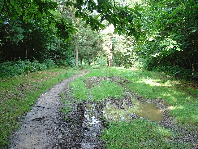
This idyllic rural area is characterized by rolling hills, meandering streams, and lush green fields. The valley is bounded by the South Downs, a range of chalk hills that provide a stunning backdrop. Halfsmock Bottom is particularly popular among nature enthusiasts, hikers, and photographers due to its rich biodiversity and picturesque landscapes.
The valley is home to a diverse range of plant and animal species, including rare orchids, butterflies, and birds. It boasts an extensive network of footpaths and trails, allowing visitors to explore its beauty up close. The area also features several small woodlands, adding to its charm and providing habitats for various wildlife.
Halfsmock Bottom offers a sense of tranquility and escape from the hustle and bustle of city life. It is a haven for those seeking relaxation and rejuvenation in a natural environment. The valley's open spaces and panoramic views make it a popular spot for picnics, kite flying, and leisurely walks.
Overall, Halfsmock Bottom in Sussex is a hidden gem that showcases the stunning natural beauty of the English countryside. Its picturesque landscapes, diverse wildlife, and peaceful ambiance make it a must-visit destination for nature lovers and anyone seeking a serene escape.
If you have any feedback on the listing, please let us know in the comments section below.
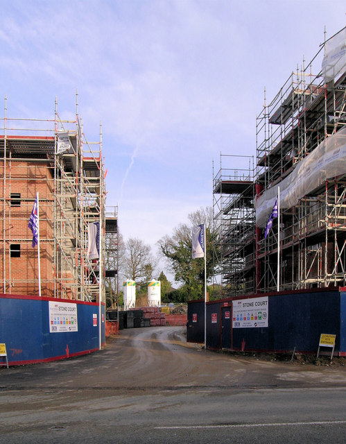
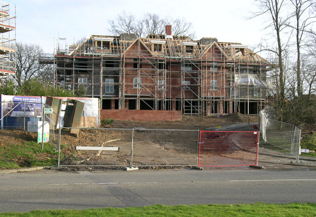
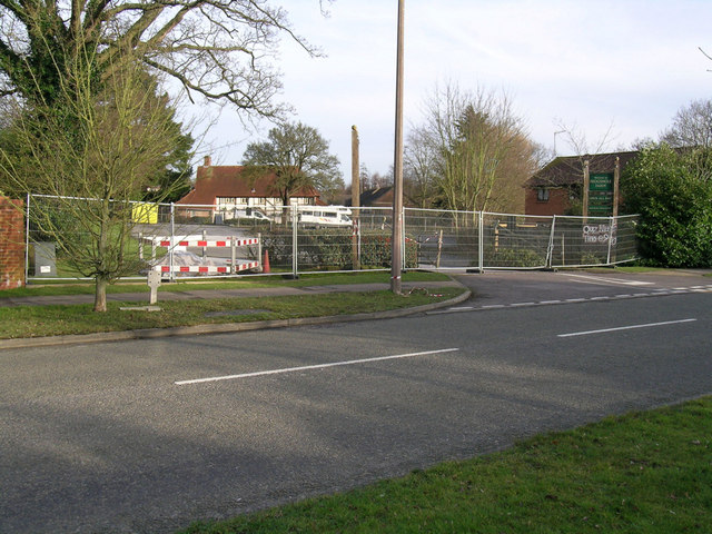
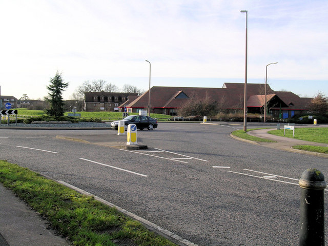
Halfsmock Bottom Images
Images are sourced within 2km of 51.095805/-0.1440269 or Grid Reference TQ3034. Thanks to Geograph Open Source API. All images are credited.
Halfsmock Bottom is located at Grid Ref: TQ3034 (Lat: 51.095805, Lng: -0.1440269)
Administrative County: West Sussex
District: Mid Sussex
Police Authority: Sussex
What 3 Words
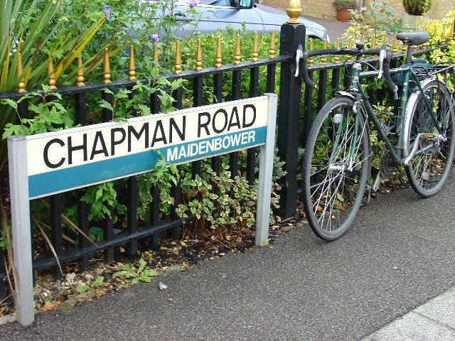
///crowned.wooden.good. Near Maidenbower, West Sussex
Nearby Locations
Related Wikis

Maidenbower
Maidenbower is one of 14 neighbourhoods within the town of Crawley in West Sussex, England. Maidenbower is located in the south east corner of the town...

Furnace Green
Furnace Green is one of 14 neighbourhoods in Crawley in West Sussex, England, and a local government ward. Furnace Green is located to the east of the...

Tilgate Forest
Tilgate Forest is a 6.9-hectare (17-acre) Local Nature Reserve in Crawley in West Sussex. It is owned and managed by Crawley Borough Council and is part...

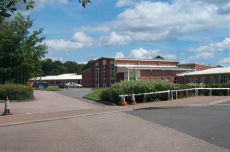
Oriel High School
Oriel High School is a maintained community secondary school for pupils aged 11 to 18. It opened in September 2004 as part of a reorganisation of secondary...

Worth Forest (electoral division)
Worth Forest is an electoral division of West Sussex in the United Kingdom, and returns one member to sit on West Sussex County Council. == Extent == The...

Burgess Hill East (electoral division)
Burgess Hill East is an electoral division of West Sussex in the United Kingdom, and returns one member to sit on West Sussex County Council. == Extent... ==

Worth Forest
Worth Forest is a 43.8-hectare (108-acre) biological Site of Special Scientific Interest south of Crawley in West Sussex. It is in the High Weald Area...

St Nicholas Church, Worth
St Nicholas Church is a Church of England parish church in Worth, a village in Crawley, England, which at one time had the largest geographical parish...
Nearby Amenities
Located within 500m of 51.095805,-0.1440269Have you been to Halfsmock Bottom?
Leave your review of Halfsmock Bottom below (or comments, questions and feedback).