Whitely Hill

Hill, Mountain in Sussex Mid Sussex

England

Whitely Hill

Junction of Crawley Lane and High Street, Near Balcombe, West Sussex The only road junction in the grid square. High Street is a rural road that runs along the top of a wide ridge (not the more common urban type of High Street). View taken from the East side. Crawley Lane is on the left, with the entrance drive to Green Trees farm opposite it.
Junction of Crawley Lane and High Street, Near Balcombe, West Sussex Credit: Pete Chapman

Whitely Hill, located in Sussex, England, is a prominent geographical feature that can be classified as a hill rather than a mountain due to its relatively modest elevation. Situated in the southern part of the country, it offers breathtaking panoramic views of the surrounding countryside. The hill rises to a height of approximately 273 meters (896 feet) above sea level, making it a popular destination for hikers and nature enthusiasts.

Whitely Hill is characterized by its gently sloping sides and a well-defined summit. The hill is covered in lush green vegetation, including grasses, wildflowers, and scattered trees, creating a picturesque landscape. Its slopes are a haven for various wildlife species, including rabbits, deer, and a variety of bird species, making it a great spot for birdwatching.

At the top of Whitely Hill, there is a trig point, serving as a marker for surveying purposes. This landmark allows visitors to accurately determine their location and provides an added point of interest for those exploring the area. The trig point also offers an excellent vantage point to admire the stunning vistas that stretch out in all directions, showcasing the beauty of the Sussex countryside.

Accessible by footpaths and walking trails, Whitely Hill attracts both local residents and tourists seeking outdoor activities such as hiking, picnicking, or simply enjoying a leisurely walk in nature. It provides a peaceful and tranquil setting, away from the noise and bustle of urban life. Overall, Whitely Hill is a natural gem in Sussex, offering a serene escape and a chance to appreciate the beauty of the British countryside.

If you have any feedback on the listing, please let us know in the comments section below.
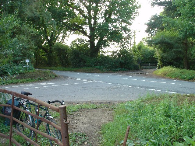
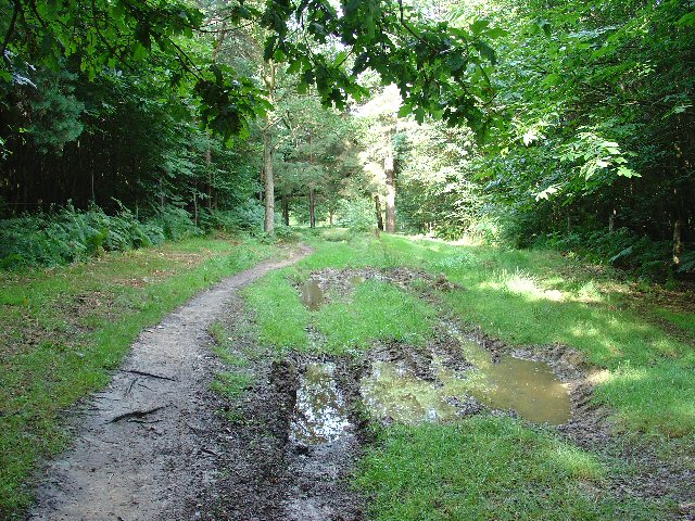
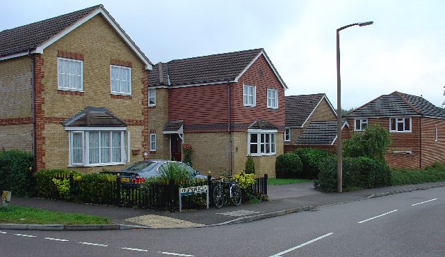
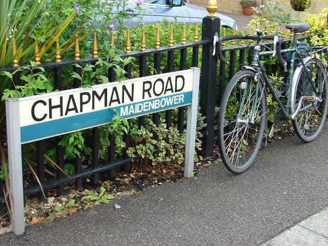
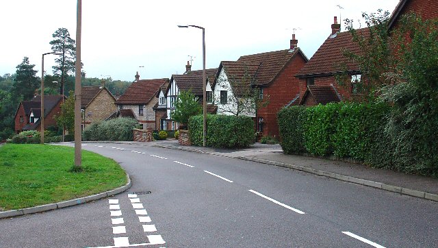
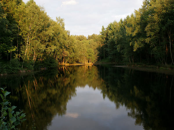
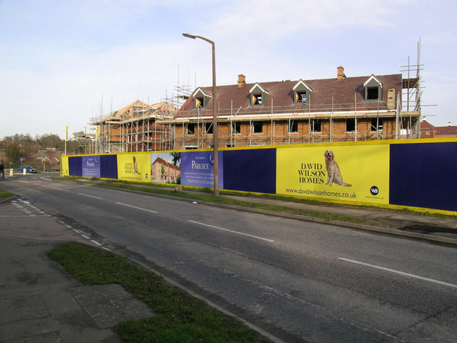
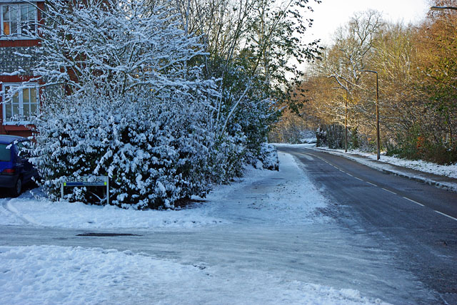
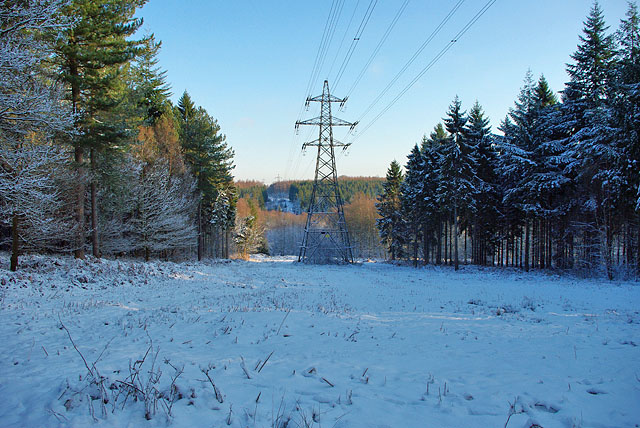
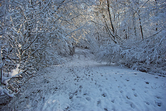
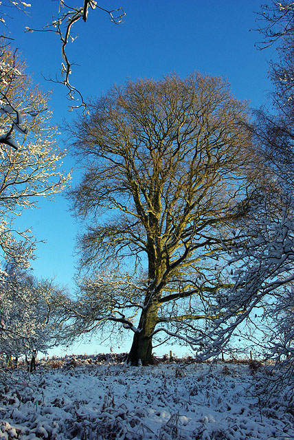
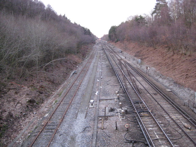
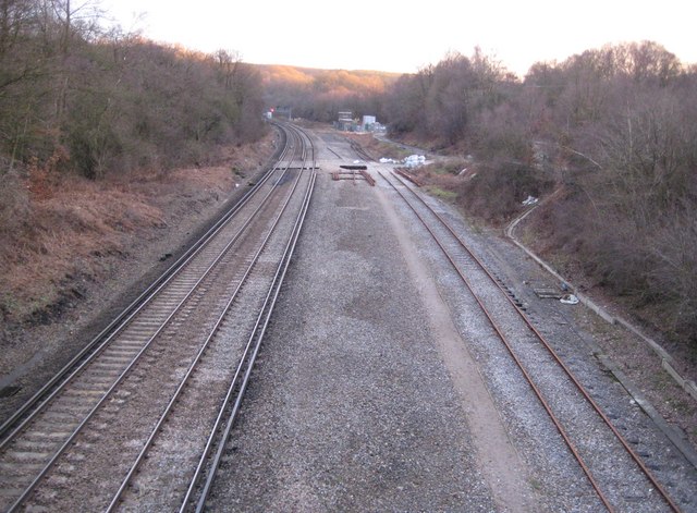
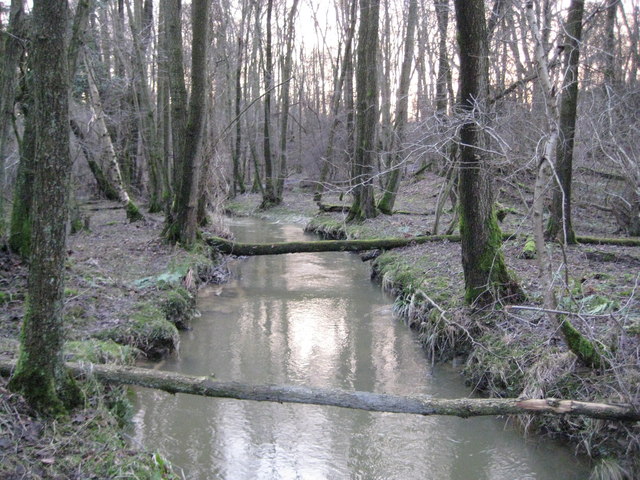
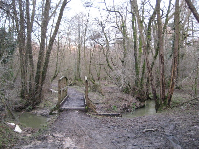
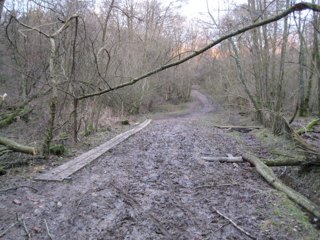
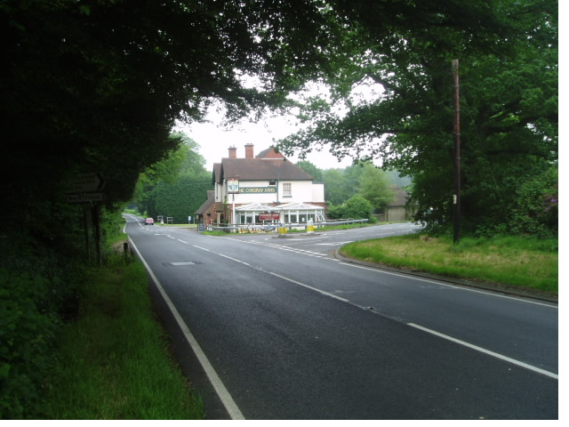
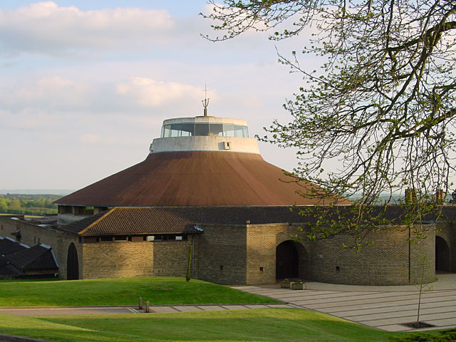
Whitely Hill Images

Images are sourced within 2km of 51.091065/-0.1349202 or Grid Reference TQ3034. Thanks to Geograph Open Source API. All images are credited.

Junction of Crawley Lane and High Street, Near Balcombe, West Sussex The only road junction in the grid square. High Street is a rural road that runs along the top of a wide ridge (not the more common urban type of High Street). View taken from the East side. Crawley Lane is on the left, with the entrance drive to Green Trees farm opposite it.
Junction of Crawley Lane and High Street, Near Balcombe, West Sussex
The only road junction in the grid square. High Street is a rural road that runs along the top of a wide ridge (not the more common urban type of High Street). View taken from the East side. Crawley Lane is on the left, with the entrance drive to Green Trees farm opposite it.
Bridleway through Oldhouse Warren, Near Crawley, West Sussex. A wide (and muddy, in places) bridle route through this otherwise private area of woodland. Links Pease Pottage (via Parish Lane) to Whitely Hill.
Bridleway through Oldhouse Warren, Near Crawley, West Sussex.
A wide (and muddy, in places) bridle route through this otherwise private area of woodland. Links Pease Pottage (via Parish Lane) to Whitely Hill.
1990/2000s Housing Estate - Chapman Road, Maidenbower Neighbourhood of Crawley, West Sussex The newest of Crawleys "Neighbourhood" areas. This part of Maidenbower was built on the site of Worth Forest and spreads into the NW corner of this grid square. As was the fashion at the time, the houses on this housing estate are built to appear slightly different from their immediate neighbours. Amazing how many detached/semi-detached houses can fit in such a small area! The photo shows the street name sign in front of the car. All the street name signs in Crawley are of this general pattern (see supplemental photo for details).
1990/2000s Housing Estate - Chapman Road, Maidenbower Neighbourhood of Crawley, West Sussex
The newest of Crawleys "Neighbourhood" areas. This part of Maidenbower was built on the site of Worth Forest and spreads into the NW corner of this grid square. As was the fashion at the time, the houses on this housing estate are built to appear slightly different from their immediate neighbours. Amazing how many detached/semi-detached houses can fit in such a small area! The photo shows the street name sign in front of the car. All the street name signs in Crawley are of this general pattern (see supplemental photo for details).
Chapman Road, Maidenbower - general pattern of street name signs in Crawley. Sign for Chapman Road, next to Chapman's bike!
The "neighbourhood" identity of the various parts of Crawley is emphasised by all of the street name signs having the name of the neighbourhood included on the bottom right corner of the sign (as shown in the picture). Additionally, each neighbourhood has its own colour for the band across the centre of the sign, Maidenbower uses a blue colour. Other area colours include: Northgate (green); Manor Royal Industrial Estate (Black - "Industrial").
Chapman Road, Maidenbower - general pattern of street name signs in Crawley.
Sign for Chapman Road, next to Chapman's bike! The "neighbourhood" identity of the various parts of Crawley is emphasised by all of the street name signs having the name of the neighbourhood included on the bottom right corner of the sign (as shown in the picture). Additionally, each neighbourhood has its own colour for the band across the centre of the sign, Maidenbower uses a blue colour. Other area colours include: Northgate (green); Manor Royal Industrial Estate (Black - "Industrial").
1990/2000s Housing. Another view of Chapman Road, Crawley, West Sussex This short road (150m long) has a variety of housing - all helping to make the high packing density feel less oppressive. These houses are in the middle section of the road and are generally bigger than those shown near the street name sign. The origins of the area being a forest are evident in this view, with a couple of very large and mature trees left in situ to add interest to the area.
1990/2000s Housing. Another view of Chapman Road, Crawley, West Sussex
This short road (150m long) has a variety of housing - all helping to make the high packing density feel less oppressive. These houses are in the middle section of the road and are generally bigger than those shown near the street name sign. The origins of the area being a forest are evident in this view, with a couple of very large and mature trees left in situ to add interest to the area.
Halfsmock Lake North east facing view of lake near to M23.
Halfsmock Lake
North east facing view of lake near to M23.
Parkside Development, Maidenbower, Crawley This development will just about complete available sites in this area of Crawley. 2, 3, 4, and 5 bedroom houses are announced on the placards. The road is Lucerne Drive.
Parkside Development, Maidenbower, Crawley
This development will just about complete available sites in this area of Crawley. 2, 3, 4, and 5 bedroom houses are announced on the placards. The road is Lucerne Drive.
Gates Close and Matthews Drive, Maidenbower, Crawley After snowfall, a day's compaction and then a hard frost, the side turnings were like glass.
Gates Close and Matthews Drive, Maidenbower, Crawley
After snowfall, a day's compaction and then a hard frost, the side turnings were like glass.
Power line gap The nearer forest is Forestry Commission woodland, the further rise is private.
Power line gap
The nearer forest is Forestry Commission woodland, the further rise is private.
Bridleway in the snow Probably a very ancient way, it extends Parish Lane, itself an extension of the ridge road from Horsham, in a direct line through Oldhouse Warren to align with the ridge road to Turners Hill and beyond.
Bridleway in the snow
Probably a very ancient way, it extends Parish Lane, itself an extension of the ridge road from Horsham, in a direct line through Oldhouse Warren to align with the ridge road to Turners Hill and beyond.
Woodland edge tree On the boundary of a field that protrudes into the woodland.
Woodland edge tree
On the boundary of a field that protrudes into the woodland.
Tilgate Forest: London to Brighton railway (1) Looking northwards towards Three Bridges station this is the swathe cut through Tilgate Forest by the London & Brighton Railway prior to its opening in 1841. The London & Brighton Railway was quickly subsumed into the London, Brighton & South Coast Railway, and eventually into the Southern Railway in 1923.

This stretch once had four working tracks with the slow lines on the left and the fast on the right (had to check "London to Brighton in 4 minutes" on YouTube to be sure of my facts there!) but the break out junction from two to four has been rebuilt further north in the distance, and the track bed of the former slow lines on the left is now occupied by an unelectrified siding. There is a 90 mph speed restriction sign in the foreground.

This view was taken from the bridge at the end of Parish Lane. For a view in the opposite direction please see <a href="https://www.geograph.org.uk/photo/1752119">TQ2833 : Tilgate Forest: London to Brighton railway (2)</a>.
Tilgate Forest: London to Brighton railway (1)
Looking northwards towards Three Bridges station this is the swathe cut through Tilgate Forest by the London & Brighton Railway prior to its opening in 1841. The London & Brighton Railway was quickly subsumed into the London, Brighton & South Coast Railway, and eventually into the Southern Railway in 1923. This stretch once had four working tracks with the slow lines on the left and the fast on the right (had to check "London to Brighton in 4 minutes" on YouTube to be sure of my facts there!) but the break out junction from two to four has been rebuilt further north in the distance, and the track bed of the former slow lines on the left is now occupied by an unelectrified siding. There is a 90 mph speed restriction sign in the foreground. This view was taken from the bridge at the end of Parish Lane. For a view in the opposite direction please see TQ2833 : Tilgate Forest: London to Brighton railway (2).
Tilgate Forest: London to Brighton railway (2) For a brief history of the railway and a view in the opposite direction please see <a href="https://www.geograph.org.uk/photo/1752096">TQ2833 : Tilgate Forest: London to Brighton railway (1)</a>.

As the track curves to the left to enter Balcombe Tunnel this was the location of the junction where the four tracks from London merged into two to negate the construction of a costly second tunnel.

A red signal light for southbound trains to Brighton is visible in the distance, while the last rays of winter sunshine catch the trees on the hill on the horizon.
Tilgate Forest: London to Brighton railway (2)
For a brief history of the railway and a view in the opposite direction please see TQ2833 : Tilgate Forest: London to Brighton railway (1). As the track curves to the left to enter Balcombe Tunnel this was the location of the junction where the four tracks from London merged into two to negate the construction of a costly second tunnel. A red signal light for southbound trains to Brighton is visible in the distance, while the last rays of winter sunshine catch the trees on the hill on the horizon.
Stanford Brook in Tilgate Forest Stanford Brook is a tributary of the River Mole rising to the south of Crawley.
Stanford Brook in Tilgate Forest
Stanford Brook is a tributary of the River Mole rising to the south of Crawley.
Tilgate Forest: Footbridge over Stanford Brook This footbridge is the main point of access across Stanford Brook to Oldhouse Warren in Tilgate Forest.
Tilgate Forest: Footbridge over Stanford Brook
This footbridge is the main point of access across Stanford Brook to Oldhouse Warren in Tilgate Forest.
Tilgate Forest: Oldhouse Warren bridleway This is the third photograph to be submitted to the site for this grid square,  each so far showing the bridleway in different seasonal conditions, although mud seems to be a perennial problem! Here, just to the east of the Stanford Brook crossing, duckboards have had to be introduced. 

The area to the left of the bridleway is shown as an ancient "Pond Bay" on the Ordnance Survey mapping. These pond bays are a reminder of the old Wealden iron industry when water was needed to be stored in large quantities for the production process. There is a very informative description of the Wealden iron industry here <span class="nowrap"><a title="http://www.rh7.org/factsheets/Iron%20Industry.html" rel="nofollow ugc noopener" href="http://www.rh7.org/factsheets/Iron%20Industry.html">Link</a><img style="margin-left:2px;" alt="External link" title="External link - shift click to open in new window" src="https://s1.geograph.org.uk/img/external.png" width="10" height="10"/></span>
Tilgate Forest: Oldhouse Warren bridleway
This is the third photograph to be submitted to the site for this grid square, each so far showing the bridleway in different seasonal conditions, although mud seems to be a perennial problem! Here, just to the east of the Stanford Brook crossing, duckboards have had to be introduced. The area to the left of the bridleway is shown as an ancient "Pond Bay" on the Ordnance Survey mapping. These pond bays are a reminder of the old Wealden iron industry when water was needed to be stored in large quantities for the production process. There is a very informative description of the Wealden iron industry here LinkExternal link
Worth Abbey Church The Abbey Church of Our Lady Help of Christians
Worth Abbey Church
The Abbey Church of Our Lady Help of Christians
Cowdray Arms This popular pub serves food and is close to the extensive Worth Forest
Cowdray Arms
This popular pub serves food and is close to the extensive Worth Forest
Show me another place!

Whitely Hill is located at Grid Ref: TQ3034 (Lat: 51.091065, Lng: -0.1349202)

Administrative County: West Sussex

District: Mid Sussex

Police Authority: Sussex

What 3 Words

///sake.mugs.crazy. Near Maidenbower, West Sussex

Related Wikis

Worth Forest (electoral division)

Worth Forest is an electoral division of West Sussex in the United Kingdom, and returns one member to sit on West Sussex County Council. == Extent == The...

Worth School

Worth School is a private co-educational Roman Catholic boarding and day school for pupils from 11 to 18 years of age near Worth, West Sussex, England...

Burgess Hill East (electoral division)

Burgess Hill East is an electoral division of West Sussex in the United Kingdom, and returns one member to sit on West Sussex County Council. == Extent... ==

Worth Abbey

The Abbey of Our Lady, Help of Christians, commonly known as Worth Abbey, is a community of Roman Catholic monks who follow the Rule of St Benedict near...

Worth Forest

Worth Forest is a 43.8-hectare (108-acre) biological Site of Special Scientific Interest south of Crawley in West Sussex. It is in the High Weald Area...

Maidenbower

Maidenbower is one of 14 neighbourhoods within the town of Crawley in West Sussex, England. Maidenbower is located in the south east corner of the town...

Furnace Green

Furnace Green is one of 14 neighbourhoods in Crawley in West Sussex, England, and a local government ward. Furnace Green is located to the east of the...

St Nicholas Church, Worth

St Nicholas Church is a Church of England parish church in Worth, a village in Crawley, England, which at one time had the largest geographical parish...

Nearby Amenities

Located within 500m of 51.091065,-0.1349202
Old House Warren
Naptan AtcoCode: 4400HR0883
Naptan Bearing: NW
Naptan BusStopType: CUS
Naptan CommonName: Old House Warren
Naptan Indicator: adj
Naptan Landmark: Hail & Ride
Naptan NaptanCode: wsxdwpmp
Naptan Street: Balcombe Road
Naptan Verified: no
Source: naptan_import
Lat/Long: 51.089598/-0.1369195
Old House Warren
Naptan AtcoCode: 4400HR0884
Naptan Bearing: SE
Naptan BusStopType: CUS
Naptan CommonName: Old House Warren
Naptan Indicator: opp
Naptan Landmark: Hail & Ride
Naptan NaptanCode: wsxdwpmt
Naptan Street: Balcombe Road
Naptan Verified: no
Source: naptan_import
Lat/Long: 51.0896218/-0.1367186
The data included in this document is from www.openstreetmap.org. The data is made available under ODbL.

Have you been to Whitely Hill?

Leave your review of Whitely Hill below (or comments, questions and feedback).