Croydon Hill

Hill, Mountain in Cambridgeshire South Cambridgeshire

England

Croydon Hill

Holbein's Farm
Holbein's Farm Credit: Jeff Tomlinson

Croydon Hill is a prominent hill located in the county of Cambridgeshire, England. Situated near the small village of Croydon, this natural landmark offers breathtaking views of the surrounding countryside. Despite its name, Croydon Hill is not particularly tall and is more accurately described as a gentle slope rather than a mountain.

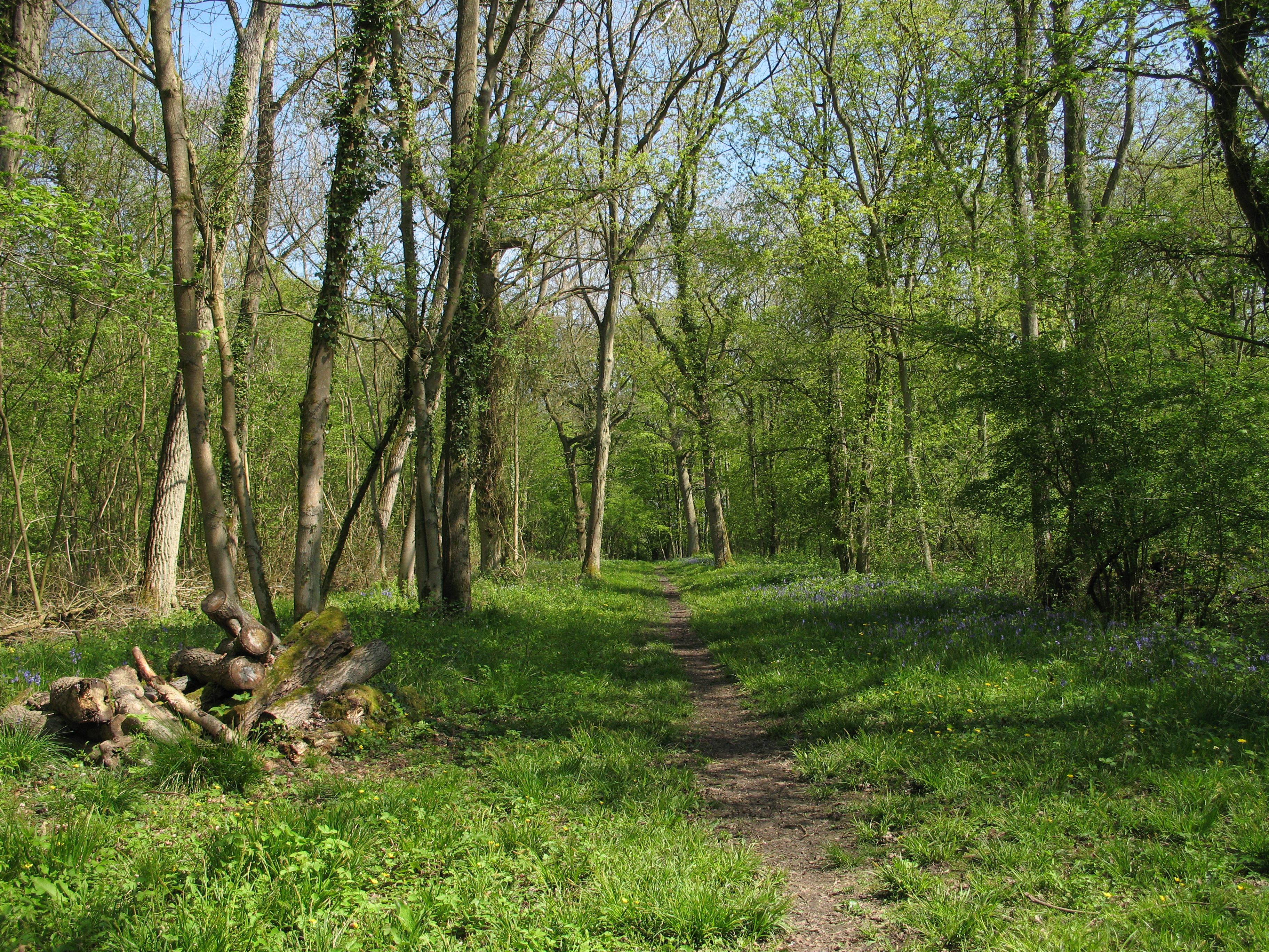
Covered in lush greenery and dotted with a variety of trees, Croydon Hill is a popular destination for nature enthusiasts and hikers. Its well-maintained footpaths and trails make it an ideal spot for outdoor activities such as walking, jogging, and birdwatching. The hill is also home to a diverse array of flora and fauna, with wildflowers and woodland creatures adding to its natural charm.

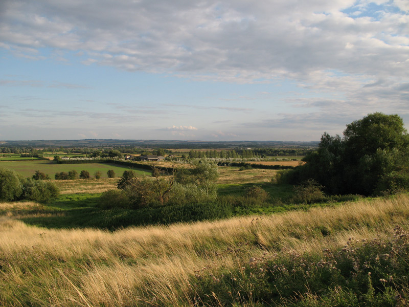
At the summit of Croydon Hill, visitors can enjoy panoramic views of the picturesque Cambridgeshire countryside. On clear days, one can see the rolling hills, meandering rivers, and patchwork fields that make up the region. The hill's elevated position makes it a perfect spot for capturing stunning photographs or simply taking a moment to appreciate the beauty of the landscape.

Croydon Hill is not only a haven for nature lovers but also holds historical significance. It is believed that the ancient Romans used the hill as a lookout point, taking advantage of its strategic position. Today, remnants of this historical past can still be seen, adding an additional layer of interest for those interested in the area's heritage.

Overall, Croydon Hill offers a serene and picturesque escape from the hustle and bustle of everyday life. Whether it's exploring the natural surroundings, taking in the breathtaking views, or delving into its rich history, this hill in Cambridgeshire is a must-visit destination for locals and tourists alike.

If you have any feedback on the listing, please let us know in the comments section below.
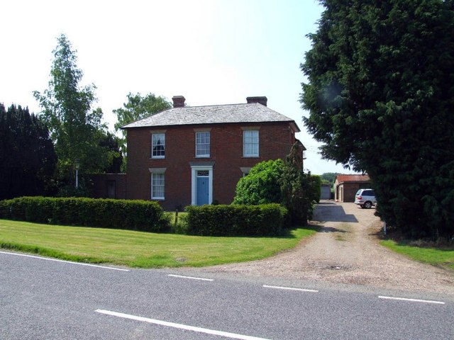
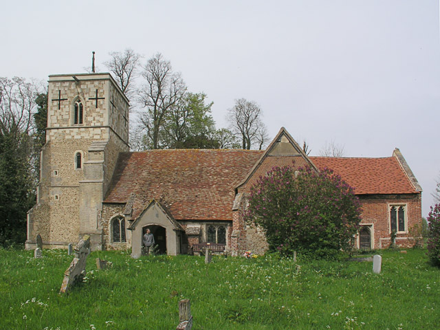
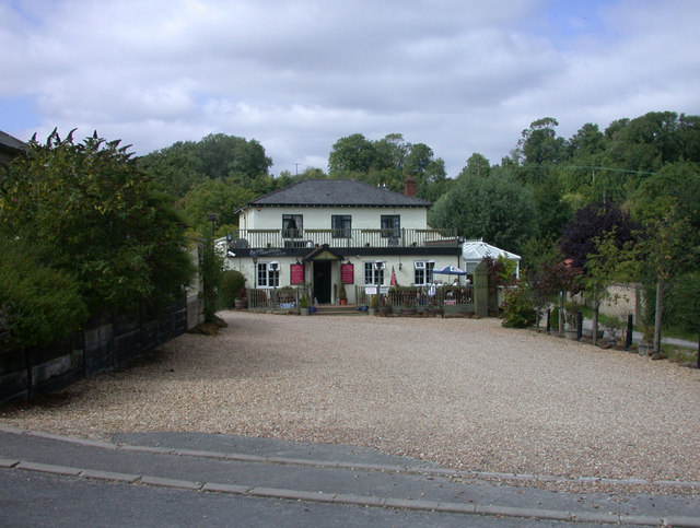
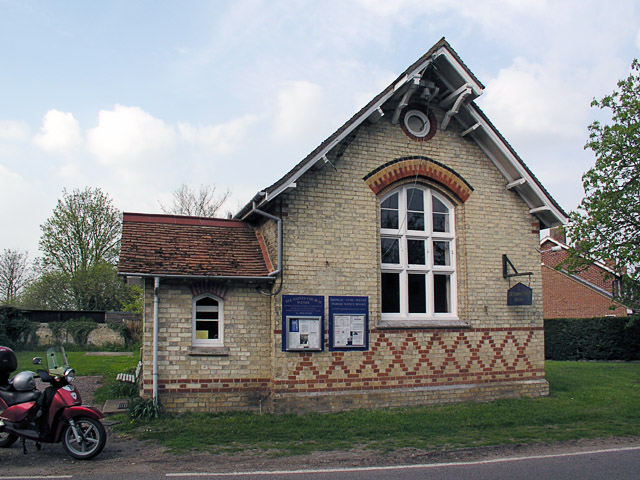
Croydon Hill Images

Images are sourced within 2km of 52.128698/-0.091825988 or Grid Reference TL3049. Thanks to Geograph Open Source API. All images are credited.

Holbein's Farm
Holbein's Farm
Top Farm, Croydon, Cambs View of the square from the SE to the NW corners, from the B1042 road towards Top Farm; the ridge is the Lower Chalk escarpment capped by Chalky Boulder Clay.
Top Farm, Croydon, Cambs
View of the square from the SE to the NW corners, from the B1042 road towards Top Farm; the ridge is the Lower Chalk escarpment capped by Chalky Boulder Clay.
Downing House, Lower Road, Croydon, Cambs Formerly the Downing Arms but generally known as 'The Scratching Cat', this public house is now a private residence. It held an almost continuous licence from 1827 until closing in August 1995, apart from a period during 1970–71, when it changed its status from that of a tied house to become a freehouse.
Downing House, Lower Road, Croydon, Cambs
Formerly the Downing Arms but generally known as 'The Scratching Cat', this public house is now a private residence. It held an almost continuous licence from 1827 until closing in August 1995, apart from a period during 1970–71, when it changed its status from that of a tied house to become a freehouse.
A track with a puddle Not an uncommon sight this summer!

This square was harder to get into than I expected: the bridleway shown in the SW seems to be no longer public, or at least not signed as such. This track just squeezes into the northern edge.
A track with a puddle
Not an uncommon sight this summer! This square was harder to get into than I expected: the bridleway shown in the SW seems to be no longer public, or at least not signed as such. This track just squeezes into the northern edge.
Ditch near Top Farm, Croydon, Cambridgeshire The photographer's shadow can just be seen at the bottom.
Ditch near Top Farm, Croydon, Cambridgeshire
The photographer's shadow can just be seen at the bottom.
Croydon
Croydon
The old turnpike Toll Bar cottage, Croydon, Cambs – on the B1042 at the Shingay-cum-Wendy junction.
The old turnpike Toll Bar cottage, Croydon, Cambs
– on the B1042 at the Shingay-cum-Wendy junction.
Clopton deserted medieval village, Cambs deserted during the early 16th century now only earthwork traces of the village layout exist terraced into the hillside –  <span class="nowrap"><a title="http://www.cambridgeshire.gov.uk/leisure/archaeology/outreach/sites/site_southcambs.htm" rel="nofollow ugc noopener" href="http://www.cambridgeshire.gov.uk/leisure/archaeology/outreach/sites/site_southcambs.htm">Link</a><img style="margin-left:2px;" alt="External link" title="External link - shift click to open in new window" src="https://s1.geograph.org.uk/img/external.png" width="10" height="10"/></span>
Clopton deserted medieval village, Cambs
deserted during the early 16th century now only earthwork traces of the village layout exist terraced into the hillside – LinkExternal link
Panorama of Clopton medieval village from the north Well worth the 1/3 mile walk from the parking place to visit and spend a while.  <span class="nowrap"><a title="http://www.cambridgeshire.gov.uk/leisure/archaeology/outreach/sites/site_southcambs.htm" rel="nofollow ugc noopener" href="http://www.cambridgeshire.gov.uk/leisure/archaeology/outreach/sites/site_southcambs.htm">Link</a><img style="margin-left:2px;" alt="External link" title="External link - shift click to open in new window" src="https://s1.geograph.org.uk/img/external.png" width="10" height="10"/></span>
Panorama of Clopton medieval village from the north
Well worth the 1/3 mile walk from the parking place to visit and spend a while. LinkExternal link
Croydon Hill
Croydon Hill
Entrance to Low Farm, Croydon, Cambs in the Rhee (Cam) valley; view from the B1042 Lower Road.
Entrance to Low Farm, Croydon, Cambs
in the Rhee (Cam) valley; view from the B1042 Lower Road.
The Cam valley after harvest, Arrington, Cambs – view SE from the edge of the boulder clay plateau on Croydon Road, with the Chalk escarpment above Royston in the far distance.
The Cam valley after harvest, Arrington, Cambs
– view SE from the edge of the boulder clay plateau on Croydon Road, with the Chalk escarpment above Royston in the far distance.
The Queen Adelaide P.H., Croydon
Trig point on Croydon Hill Footpath runs to the west of this trig point and not to the east as shown on the map.
Trig point on Croydon Hill
Footpath runs to the west of this trig point and not to the east as shown on the map.
Font and Paschal Candle, All Saints, Croydon, Cambs. The candle is in its traditional place beside the font. It is usually replaced each year and lit for the first time at Easter. It symbolises the Resurrection, an important aspect of baptism.
Font and Paschal Candle, All Saints, Croydon, Cambs.
The candle is in its traditional place beside the font. It is usually replaced each year and lit for the first time at Easter. It symbolises the Resurrection, an important aspect of baptism.
Bottom of Croydon Hill It's a steep hill to find in Cambridgeshire!  On the road junction at the bottom of Croydon Hill, the road to Croydon village leads off to the right.
Bottom of Croydon Hill
It's a steep hill to find in Cambridgeshire! On the road junction at the bottom of Croydon Hill, the road to Croydon village leads off to the right.
Top Farm Airfield from the air Barely visible amongst the fields. More information from this <span class="nowrap"><a title="http://www.justplanetrading.com/" rel="nofollow ugc noopener" href="http://www.justplanetrading.com/">Link</a><img style="margin-left:2px;" alt="External link" title="External link - shift click to open in new window" src="https://s1.geograph.org.uk/img/external.png" width="10" height="10"/></span>
Top Farm Airfield from the air
Barely visible amongst the fields. More information from this LinkExternal link
Farmland off the B1042
Show me another place!

Croydon Hill is located at Grid Ref: TL3049 (Lat: 52.128698, Lng: -0.091825988)

Administrative County: Cambridgeshire

District: South Cambridgeshire

Police Authority: Cambridgeshire

What 3 Words

///irritable.bandwagon.meaning. Near Orwell, Cambridgeshire

Nearby Locations

Croydon Hill Croydon

Related Wikis

Clopton, Cambridgeshire

Clopton is a deserted medieval village (DMV), about 1 mile (1.6 km) south west of the village of Croydon, Cambridgeshire, that once stood on a prominent...

Croydon, Cambridgeshire

Croydon is a small village and civil parish in South Cambridgeshire, England. It is 10 miles (16 km) south-west of Cambridge and immediately west of the...

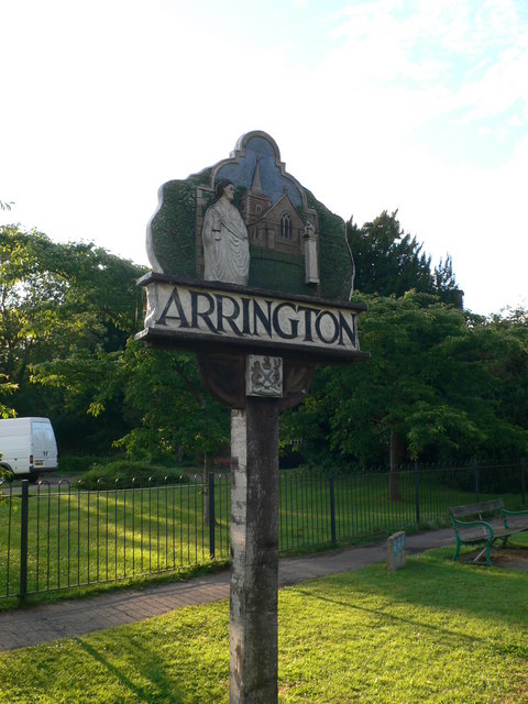
Arrington, Cambridgeshire

Arrington is a small village and civil parish in the South Cambridgeshire district of Cambridgeshire, England, with a population of 415 at the time of...

Shingay Preceptory

Shingay Preceptory was a Knights Hospitaller priory at Shingay in Cambridgeshire, England. It was established in 1144. The moated site is a scheduled ancient...

Shingay cum Wendy

Shingay cum Wendy is a civil parish in the English county of Cambridgeshire, around 5 miles (8 km) north west of Royston. Forming part of the district...

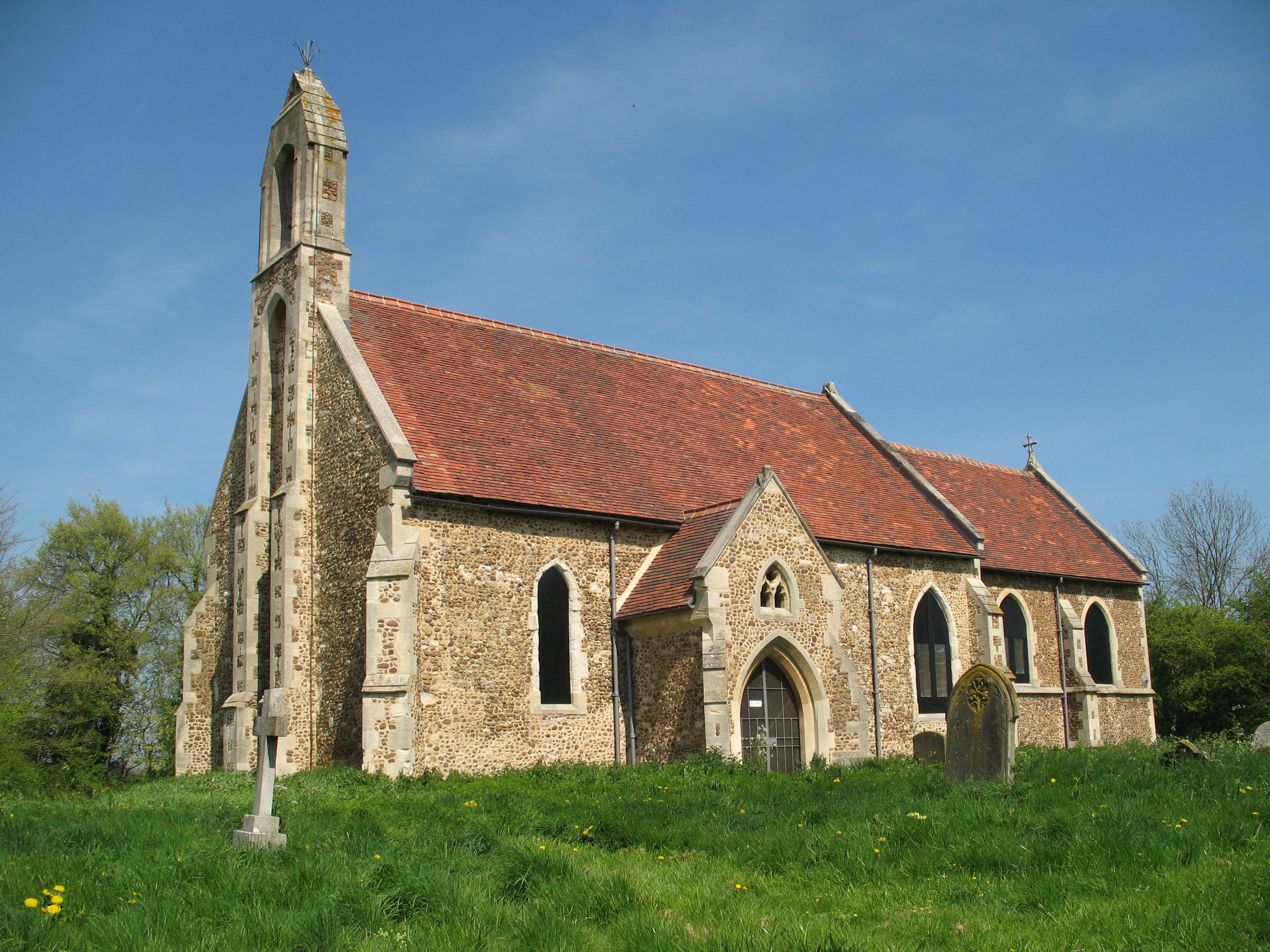
St Denis Church, East Hatley

St Denis' Church, East Hatley is a deconsecrated church in East Hatley in Cambridgeshire, England. It is a listed building, Grade 2*, and the building...

Wendy, Cambridgeshire

Wendy is a hamlet and former civil parish, now in the parish of Shingay cum Wendy, in the South Cambridgeshire district, in the county of Cambridgeshire...

Buff Wood

Buff Wood is a 15.8-hectare (39-acre) biological Site of Special Scientific Interest in Hatley in Cambridgeshire. It is managed by the Wildlife Trust for...

Nearby Amenities

Located within 500m of 52.128698,-0.091825988
Power: pole
Lat/Long: 52.1295974/-0.0876975
Power: pole
Lat/Long: 52.1316522/-0.0909751
Power: pole
Lat/Long: 52.1302593/-0.0887542
Power: pole
Lat/Long: 52.1323652/-0.0921124
Power: pole
Lat/Long: 52.1309607/-0.0898727
Power: pole
Lat/Long: 52.1290837/-0.0861713
Power: pole
Lat/Long: 52.1330567/-0.093204
Power: pole
Lat/Long: 52.1318663/-0.0965757
Power: pole
Lat/Long: 52.1307253/-0.0929442
Power: pole
Lat/Long: 52.1296272/-0.0892346
Power: pole
Lat/Long: 52.1302085/-0.0911147
Power: pole
Lat/Long: 52.1313018/-0.0947625
Power: pole
Lat/Long: 52.128009/-0.0846907
Power: pole
Lat/Long: 52.1283685/-0.0850736
Power: pole
Lat/Long: 52.128588/-0.0845964
Power: pole
Lat/Long: 52.1286608/-0.0848211
Power: pole
Lat/Long: 52.1288786/-0.0868328
Man Made: survey_point
Lat/Long: 52.1271596/-0.0906829
The data included in this document is from www.openstreetmap.org. The data is made available under ODbL.

Have you been to Croydon Hill?

Leave your review of Croydon Hill below (or comments, questions and feedback).