Holt Hill
Hill, Mountain in Sussex Mid Sussex
England
Holt Hill
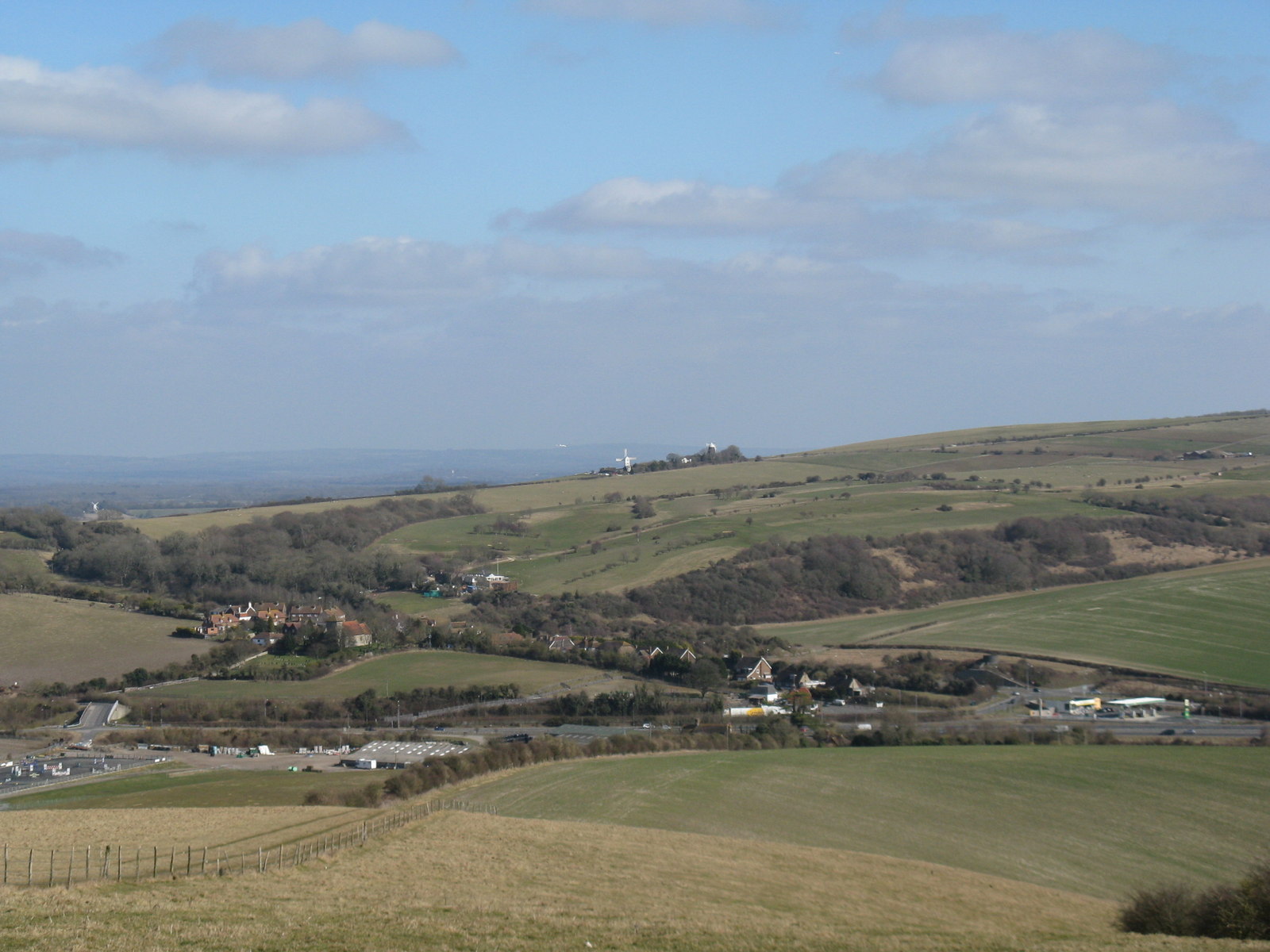
Holt Hill, located in Sussex, is a prominent hill that offers breathtaking views and a serene natural setting. Rising to an elevation of approximately 200 meters, it is a popular destination for outdoor enthusiasts and nature lovers alike. The hill is part of the South Downs National Park, which is known for its outstanding natural beauty.
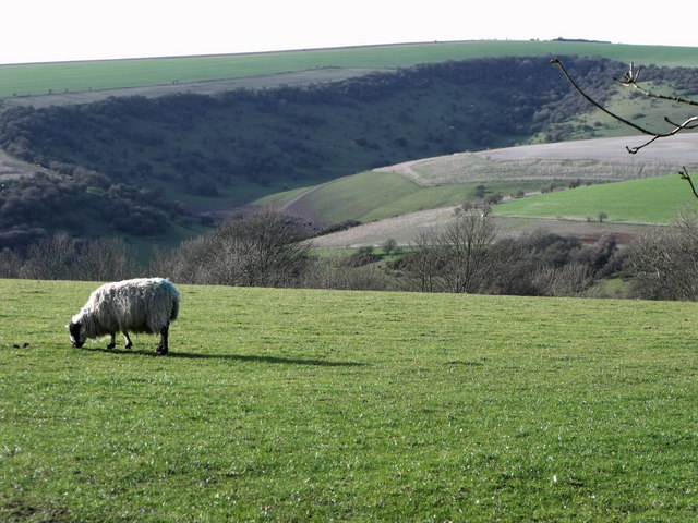
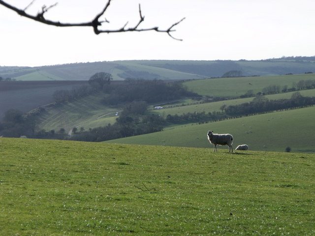
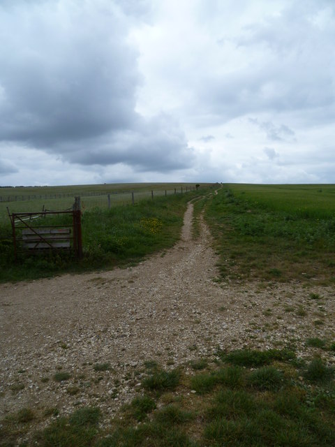
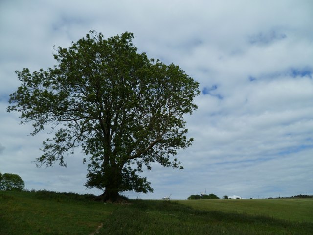
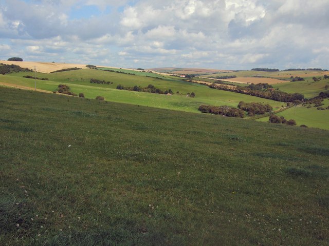
Holt Hill is characterized by its rolling green slopes, covered in lush grass and scattered with wildflowers. It is often dotted with grazing sheep, adding to the picturesque landscape. The hill is predominantly composed of chalk, which gives it a distinctive white appearance.
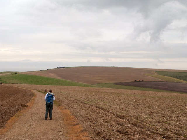
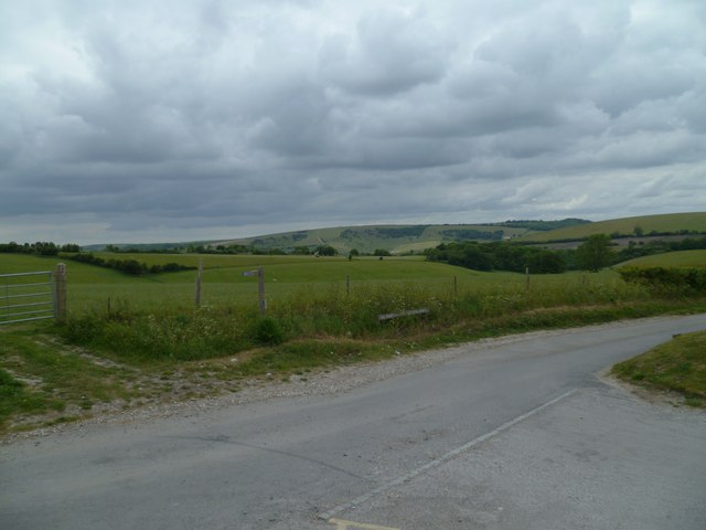
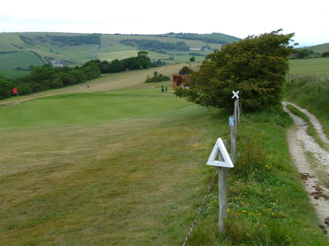
At the summit of Holt Hill, visitors are rewarded with panoramic views of the surrounding countryside. On a clear day, it is possible to see for miles, with vistas extending across the South Downs and beyond. This makes it a favorite spot for photographers, hikers, and picnickers.
The area surrounding Holt Hill is also rich in biodiversity, with a variety of plant and animal species inhabiting the area. Wildlife enthusiasts can spot birds such as skylarks and kestrels, as well as rabbits, foxes, and deer.
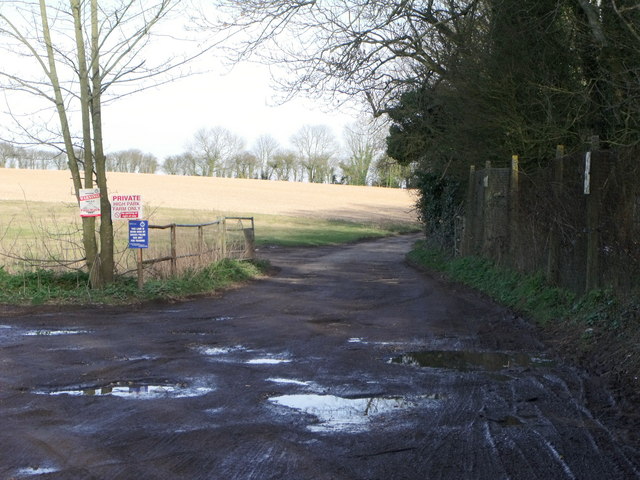
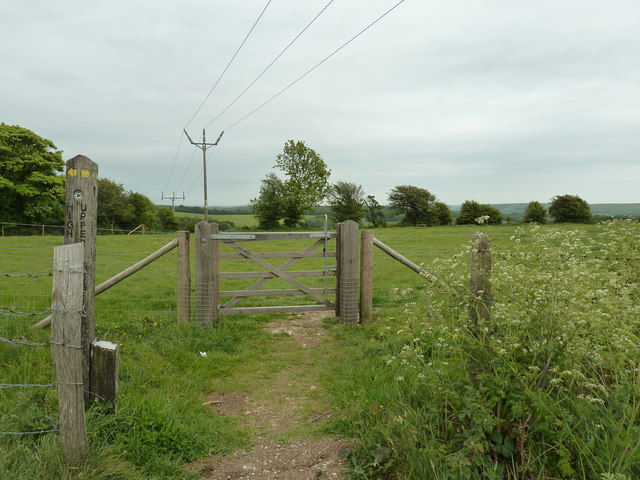
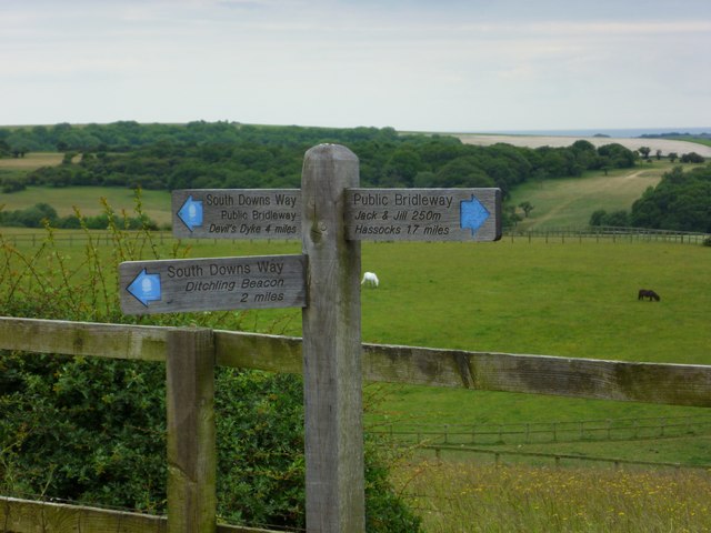
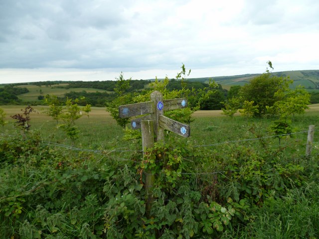
Access to Holt Hill is relatively easy, with several footpaths and trails leading to the summit. The hill is a popular destination for walkers, who can enjoy the peaceful ambiance and stunning views along the way.
Overall, Holt Hill offers visitors a chance to immerse themselves in the beauty of the Sussex countryside and enjoy a peaceful retreat in nature.
If you have any feedback on the listing, please let us know in the comments section below.
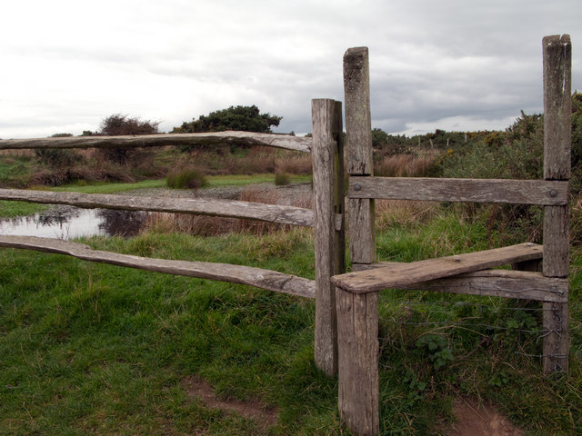
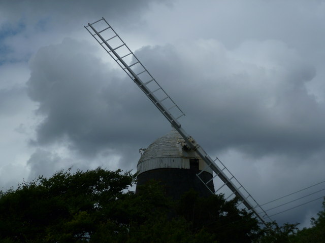
Holt Hill Images
Images are sourced within 2km of 50.887998/-0.14117965 or Grid Reference TQ3011. Thanks to Geograph Open Source API. All images are credited.

Holt Hill is located at Grid Ref: TQ3011 (Lat: 50.887998, Lng: -0.14117965)
Administrative County: West Sussex
District: Mid Sussex
Police Authority: Sussex
What 3 Words
///pack.elite.handbags. Near Ditchling, East Sussex
Nearby Locations
Related Wikis

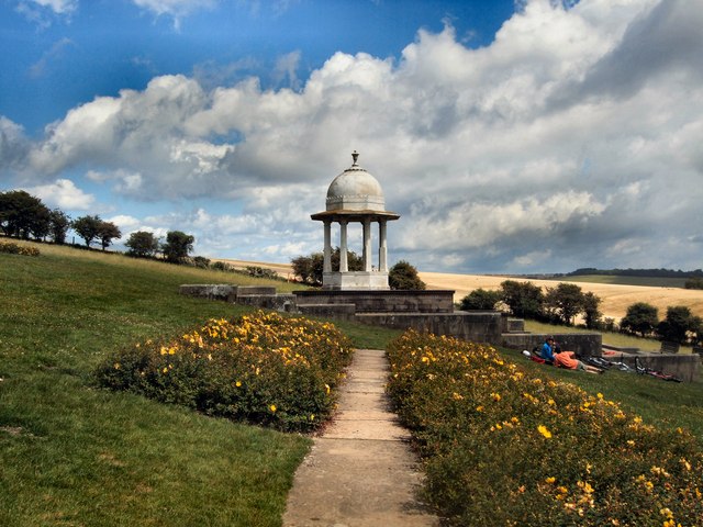
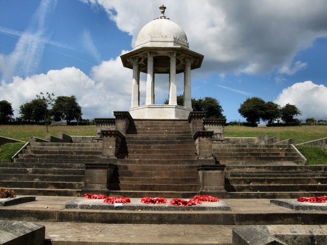
Chattri, Brighton
The Chattri is a war memorial in the English city of Brighton and Hove. It is sited 500 feet (150 m) above the city on the South Downs above the suburb...

Patcham Pylon
The Patcham Pylon is a monumental gateway erected in 1928 near Patcham in East Sussex, England. Designed by local architect John Leopold Denman and paid...

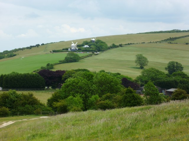
Clayton Windmills
The Clayton Windmills, known locally as Jack and Jill, stand on the South Downs above the village of Clayton, West Sussex, England. They comprise a post...

Church of the Transfiguration, Pyecombe
The Church of the Transfiguration is the Church of England parish church of the village of Pyecombe, in the Mid Sussex District of West Sussex, England...
Pyecombe
Pyecombe is a village and civil parish in the Mid Sussex District of West Sussex, England. Pyecombe is located 7 miles (11 km) to the north of Brighton...

Ladies Mile, Brighton
Ladies Mile (TQ 318 093) is a 13.6-hectare (34-acre) Local Nature Reserve to the east of Patcham, on the northern outskirts of Brighton in East Sussex...

All Saints Church, Patcham
All Saints Church is the Anglican parish church of Patcham, an ancient Sussex village which is now part of the English city of Brighton and Hove. A place...

Clayton, West Sussex
Clayton is a small village and former civil parish, now in the parish of Hassocks, in the Mid Sussex district, in the county of West Sussex, England. It...
Nearby Amenities
Located within 500m of 50.887998,-0.14117965Have you been to Holt Hill?
Leave your review of Holt Hill below (or comments, questions and feedback).