Fisher's Hill

Hill, Mountain in Lincolnshire East Lindsey

England

Fisher's Hill

Farm building near Hallington
Farm building near Hallington Credit: David Brown

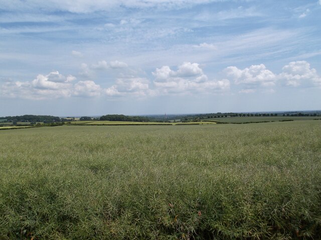
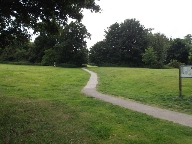
Fisher's Hill is a modest hill located in the county of Lincolnshire, England. Situated within the rural landscape, this small hill is known for its picturesque views and tranquil surroundings. While not towering in height, Fisher's Hill offers a gentle elevation that adds a touch of variety to the otherwise flat terrain of Lincolnshire.

The hill is characterized by its lush greenery, with a patchwork of fields and meadows adorning its slopes. The area is known for its agricultural activities, and the hill itself serves as a natural boundary between different farming lands. The fertile soil makes it ideal for cultivation, and the surrounding farms contribute to the local economy.

Fisher's Hill is also notable for its role in local folklore and history. Legend has it that the hill is named after a fisherman who once lived nearby, although the origins of the name remain uncertain. The area is steeped in rural traditions, with nearby villages organizing annual fairs and events celebrating the agricultural heritage of the region.

Visitors to Fisher's Hill can enjoy leisurely walks along the hill's paths, taking in the panoramic views of the Lincolnshire countryside. The hill is also a popular spot for birdwatching, as it attracts various species of birds throughout the year. Nature enthusiasts can spot owls, kestrels, and finches among the trees and hedgerows.

Overall, Fisher's Hill offers a peaceful escape from the hustle and bustle of urban life, allowing visitors to appreciate the beauty of the Lincolnshire landscape and immerse themselves in the region's rich agricultural history.

If you have any feedback on the listing, please let us know in the comments section below.

Fisher's Hill Images

Images are sourced within 2km of 53.357442/-0.032882843 or Grid Reference TF3186. Thanks to Geograph Open Source API. All images are credited.
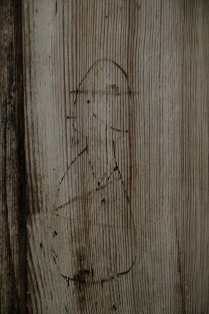
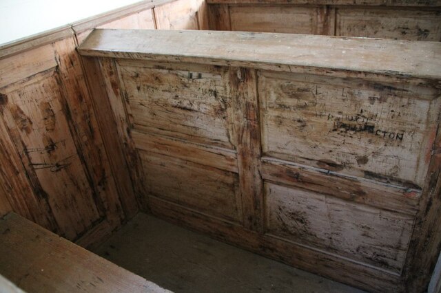
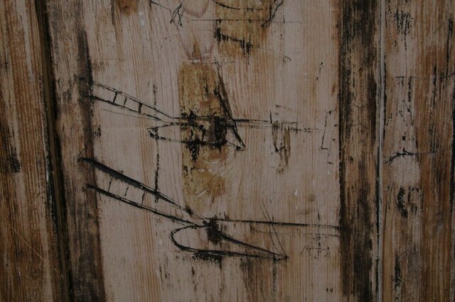
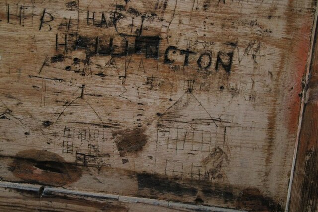
Farm building near Hallington
Field of Rape seed near Hallington The spire of Louth Church in the distance
Field of Rape seed near Hallington
The spire of Louth Church in the distance
Direction Sign – Signpost at Hallington Located on the east side of a T junction in Hallington parish. 3 arms and no finial. See also <a title="https://www.geograph.org.uk/photo/6695154" href="https://www.geograph.org.uk/photo/6695154">Link</a>.

Milestone Society National ID: LI_TF3085
Direction Sign – Signpost at Hallington
Located on the east side of a T junction in Hallington parish. 3 arms and no finial. See also Link. Milestone Society National ID: LI_TF3085
Graffito in box pew, Raithby Church (1) For position see <a href="https://www.geograph.org.uk/photo/6975276">TF3184 : Box Pews in Church of St. Peter, Raithby</a>.

Is it a soldier in a tin hat (smoking a cigarette)?
Graffito in box pew, Raithby Church (1)
For position see TF3184 : Box Pews in Church of St. Peter, Raithby. Is it a soldier in a tin hat (smoking a cigarette)?
Graffiti in box pew in Raithby Church (2) For position see <a href="https://www.geograph.org.uk/photo/6975276">TF3184 : Box Pews in Church of St. Peter, Raithby</a>.
Graffiti in box pew in Raithby Church (2)
Graffiti in box pew in Raithby Church (4) For position see <a href="https://www.geograph.org.uk/photo/6975276">TF3184 : Box Pews in Church of St. Peter, Raithby</a>.

Bottom one looks like a glider. Are they biplanes...or not? There is a
WW1 RFC aerodrome (Kelstern) nearby and next to it R.A.F. Kelstern WW2 airfield - see <span class="nowrap"><a title="https://www.bcar.org.uk/ludford-history" rel="nofollow ugc noopener" href="https://www.bcar.org.uk/ludford-history">Link</a><img style="margin-left:2px;" alt="External link" title="External link - shift click to open in new window" src="https://s1.geograph.org.uk/img/external.png" width="10" height="10"/></span>. There are also WW2 airfields are at Binbrook (<span class="nowrap"><a title="https://www.bcar.org.uk/binbrook-history)" rel="nofollow ugc noopener" href="https://www.bcar.org.uk/binbrook-history)">Link</a><img style="margin-left:2px;" alt="External link" title="External link - shift click to open in new window" src="https://s1.geograph.org.uk/img/external.png" width="10" height="10"/></span> and Ludford Magna (<span class="nowrap"><a title="https://www.bcar.org.uk/ludford-history)" rel="nofollow ugc noopener" href="https://www.bcar.org.uk/ludford-history)">Link</a><img style="margin-left:2px;" alt="External link" title="External link - shift click to open in new window" src="https://s1.geograph.org.uk/img/external.png" width="10" height="10"/></span> within cycling range.
Graffiti in box pew in Raithby Church (4)
For position see TF3184 : Box Pews in Church of St. Peter, Raithby. Bottom one looks like a glider. Are they biplanes...or not? There is a WW1 RFC aerodrome (Kelstern) nearby and next to it R.A.F. Kelstern WW2 airfield - see LinkExternal link. There are also WW2 airfields are at Binbrook (LinkExternal link and Ludford Magna (LinkExternal link within cycling range.
Graffiti in box pew in Raithby Church (3) For position see <a href="https://www.geograph.org.uk/photo/6975276">TF3184 : Box Pews in Church of St. Peter, Raithby</a>.
Graffiti in box pew in Raithby Church (3)
Barrel organ in Raithby Church (1) The only working barrel organ in a Lincolnshire church. The organ was built in 1839 and has 3 barrels, each with 10 tunes.
Barrel organ in Raithby Church (1)
The only working barrel organ in a Lincolnshire church. The organ was built in 1839 and has 3 barrels, each with 10 tunes.
Barrel organ in Raithby Church (2): Instructions and list of tunes The only working barrel organ in a Lincolnshire church. The organ was built in 1839 and has 3 barrels, each with 10 tunes.
Barrel organ in Raithby Church (2): Instructions and list of tunes
The only working barrel organ in a Lincolnshire church. The organ was built in 1839 and has 3 barrels, each with 10 tunes.
Barrel organ in Raithby Church (3): list of tunes The only working barrel organ in a Lincolnshire church. The organ was built in 1839 and has 3 barrels, each with 10 tunes.
Barrel organ in Raithby Church (3): list of tunes
The only working barrel organ in a Lincolnshire church. The organ was built in 1839 and has 3 barrels, each with 10 tunes.
Flemish enamelled glass roundel in Raithby Church (1)
Flemish enamelled glass roundel in Raithby Church (2)
Brick wall by path to Raithby Church (1)
Brick wall by path to Raithby Church (2)
Brick wall by path to Raithby Church: detail
Crowtree Lane
Crowtree Lane
Westfields Park, Louth
Show me another place!

Fisher's Hill is located at Grid Ref: TF3186 (Lat: 53.357442, Lng: -0.032882843)

Administrative County: Lincolnshire

District: East Lindsey

Police Authority: Lincolnshire

What 3 Words

///divisions.matter.purely. Near Louth, Lincolnshire

Related Wikis

Hubbard's Hills

Hubbard's Hills is an area of natural beauty directly to the west of Louth, Lincolnshire, England and is popular for family picnics, school field trips...

Hallington

Hallington is a small village and civil parish in the East Lindsey district of Lincolnshire, England. It is situated 2 miles (3 km) south-west from the...

Hallington railway station

Hallington railway station was a station in Hallington, Lincolnshire. == History == The Great Northern Railway planned and built a branch line from Bardney...

Raithby cum Maltby

Raithby cum Maltby is a civil parish in the East Lindsey district of Lincolnshire, England. It is situated about 1 mile (1.6 km) south-west from the market...

King Edward VI Grammar School, Louth

King Edward VI Grammar School (sometimes abbreviated to KEVIGS) is a grammar school located in Louth, Lincolnshire, England. == History == As early as...

Maltby Preceptory

Maltby Preceptory was a house of the Knights Hospitaller in the village of Maltby, Lincolnshire, England. There are two differing accounts regarding its...

St James' Church, Louth

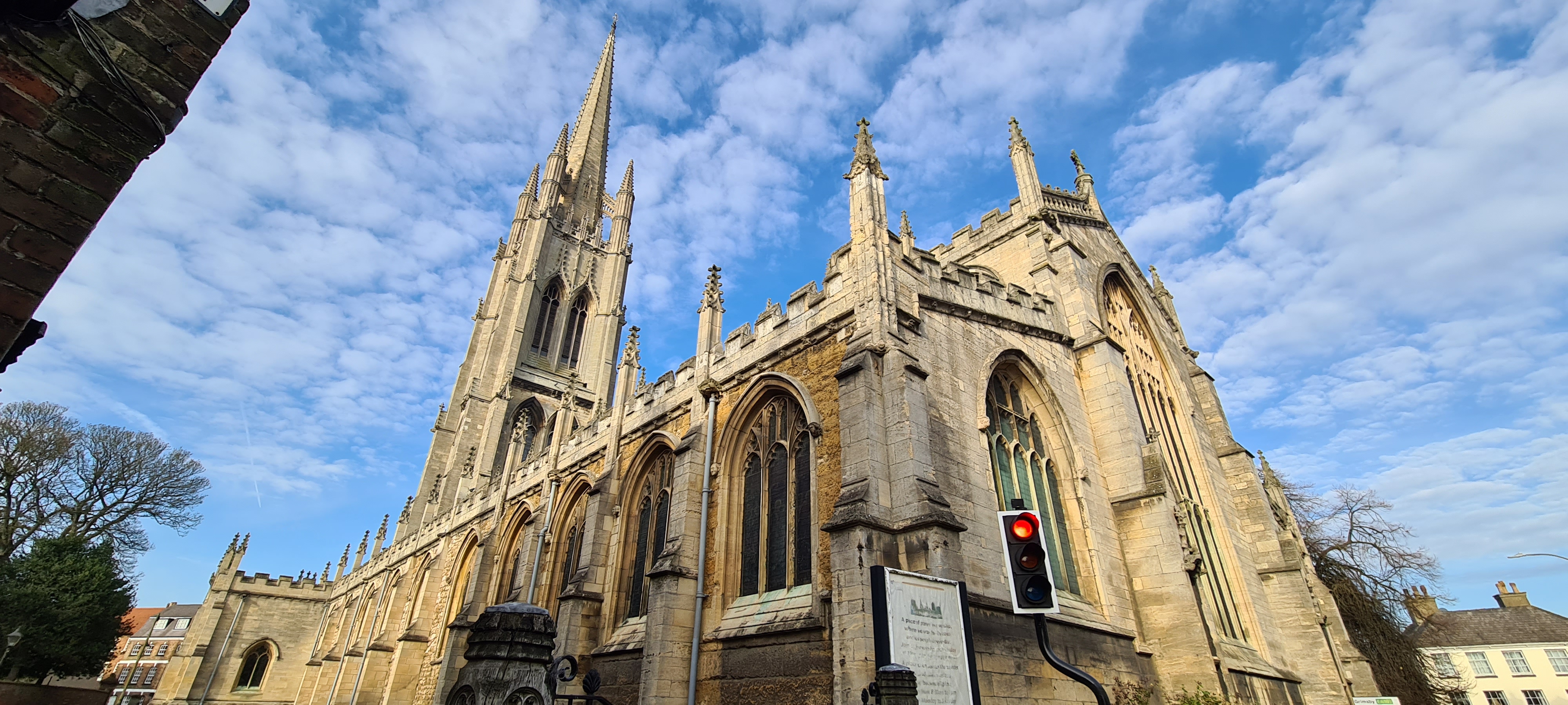
St James' Church, Louth, is the Anglican parish church of Louth in Lincolnshire, England. It is notable for having the third tallest spire in the whole...

Louth, Lincolnshire

Louth ( ) is a market town and civil parish in the East Lindsey district of Lincolnshire, England. Louth serves as an important town for a large rural...

Nearby Amenities

Located within 500m of 53.357442,-0.032882843
Power: pole
Lat/Long: 53.3536087/-0.0289765
Power: pole
Lat/Long: 53.3541378/-0.0279184
Power: pole
Lat/Long: 53.3543427/-0.0275067
The data included in this document is from www.openstreetmap.org. The data is made available under ODbL.

Have you been to Fisher's Hill?

Leave your review of Fisher's Hill below (or comments, questions and feedback).