Hoe Hill
Hill, Mountain in Lincolnshire East Lindsey
England
Hoe Hill
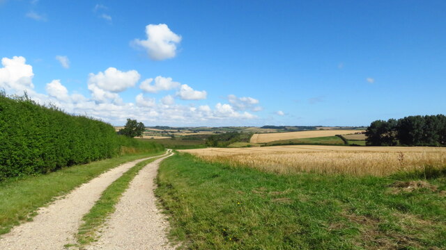
Hoe Hill is a prominent geographical feature located in Lincolnshire, England. Classified as a hill, rather than a mountain, it stands at an elevation of approximately 80 meters (262 feet) above sea level. Situated near the small village of Hoe, the hill offers commanding views of the surrounding countryside, making it a popular destination for hikers, nature enthusiasts, and photographers.
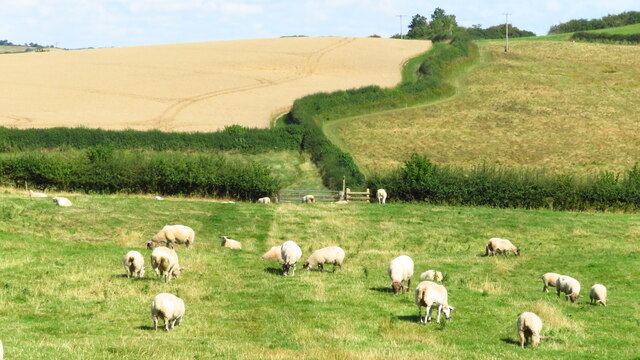
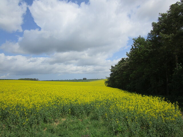
Covered in lush greenery, Hoe Hill is known for its picturesque landscape, characterized by rolling hills and meandering streams. The hill is predominantly made up of limestone, which contributes to its distinctive appearance and provides fertile soil for local flora and fauna.
Visitors to Hoe Hill can expect to encounter a diverse range of plant and animal species. The hill is home to various types of wildflowers, grasses, and shrubs, creating a vibrant and colorful environment. Additionally, it serves as a habitat for numerous bird species, including larks, finches, and wagtails.
Hoe Hill's location offers a tranquil and peaceful setting, attracting those seeking solitude and a break from the hustle and bustle of everyday life. Its accessibility and relatively gentle slopes make it suitable for individuals of all ages and fitness levels, allowing for leisurely walks or more strenuous hikes.
Overall, Hoe Hill is a natural gem in Lincolnshire, offering scenic views, diverse wildlife, and a chance to immerse oneself in the beauty of the English countryside.
If you have any feedback on the listing, please let us know in the comments section below.
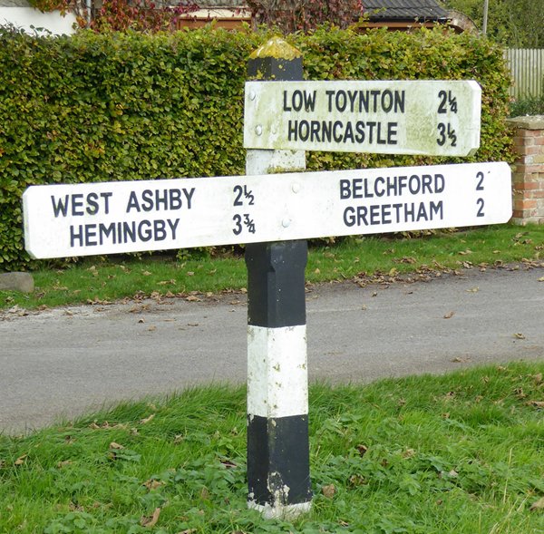
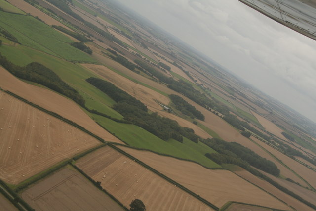
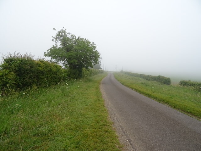
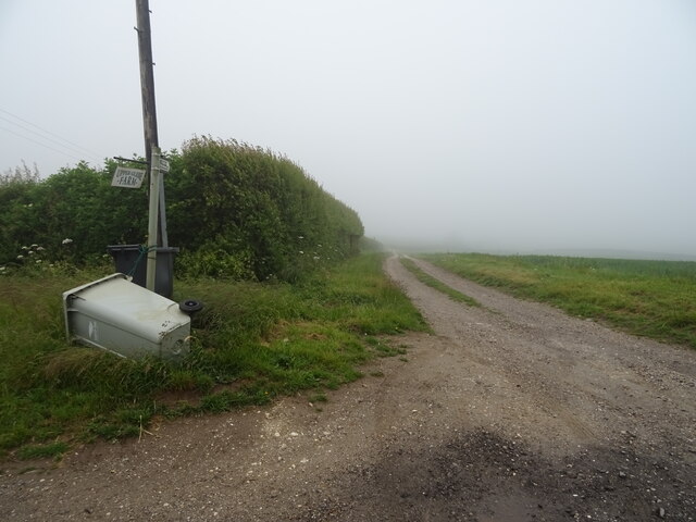
Hoe Hill Images
Images are sourced within 2km of 53.23683/-0.038373079 or Grid Reference TF3172. Thanks to Geograph Open Source API. All images are credited.


Hoe Hill is located at Grid Ref: TF3172 (Lat: 53.23683, Lng: -0.038373079)
Administrative County: Lincolnshire
District: East Lindsey
Police Authority: Lincolnshire
What 3 Words
///recoup.abstracts.reacting. Near Horncastle, Lincolnshire
Nearby Locations
Related Wikis

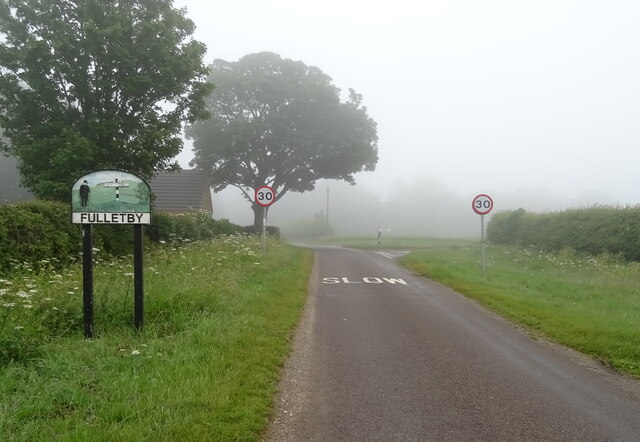
Fulletby
Fulletby is a village and a civil parish in the East Lindsey district of Lincolnshire, England. It is in the Lincolnshire Wolds, and 3 miles (5 km) north...

Salmonby
Salmonby is a village in the civil parish of Tetford, in the East Lindsey district of Lincolnshire, England. It is situated 5.5 miles (8.9 km) north-east...

East Lindsey
East Lindsey is a local government district in Lincolnshire, England. Its council is based in Horncastle and the largest town is Skegness. Other towns...

Greetham with Somersby
Greetham with Somersby is a civil parish in the East Lindsey district of Lincolnshire, England. It is situated approximately 3 miles (5 km) north-east...

Greetham, Lincolnshire
Greetham ( GREET-əm) is a village and former civil parish, now in the parish of Greetham with Somersby, in the East Lindsey district of Lincolnshire, England...

Ashby Puerorum
Ashby Puerorum is a small village and former civil parish, now in the parish of Greetham with Somersby, in the East Lindsey district of Lincolnshire, England...
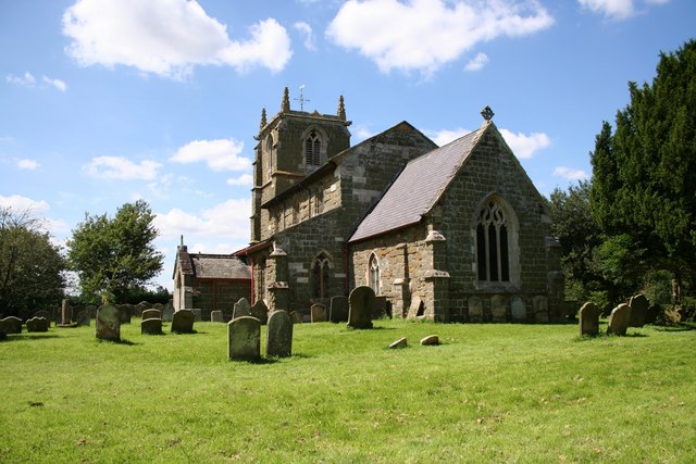
Tetford
Tetford is a village and civil parish in the East Lindsey district of Lincolnshire, England. == History == Tetford is listed as "Tesforde" in the Domesday...

Belchford
Belchford is a village and civil parish in the East Lindsey district of Lincolnshire, England. The village is situated approximately 4 miles (6 km) north...
Related Videos
Wendy's Wing an accessible 1 bedroom holiday cottages for 2 people and pets in Lincolnshire Wolds
Wendy's Wing is an accessible ground floor holiday cottage for 2 people. It offers open plan living with wood floors and leather ...

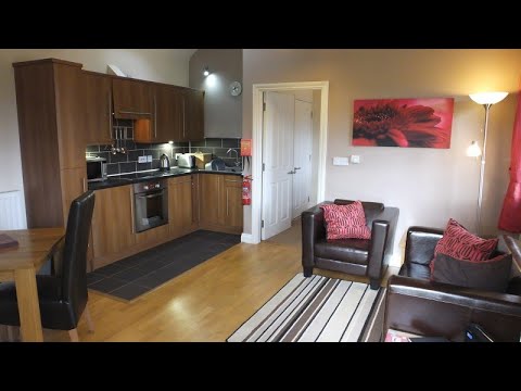
Greetham Retreat Holidays offers high-quality, self-catering holiday cottages in Lincolnshire Wolds
Greetham Retreat Holidays offers five luxury holiday cottages sleeping 2, 4 or 6 people and pets are welcome in most of our ...

Rose's Rest a lovely cosy self catering holiday cottage for 2 and a small pet in Lincolnshire Wolds
Rose's Rest is a lovely intimate self catering holiday cottage at Greetham Retreat Holidays in Lincolnshire. This cottage is also pet ...

Laura's Loft a very private & romantic self catering holiday apartment for 2 in Lincolnshire Wolds
Laura's Loft offers superb one bedroom self catering holiday accommodation at Greetham Retreat Holidays in the heart of the ...
Nearby Amenities
Located within 500m of 53.23683,-0.038373079Have you been to Hoe Hill?
Leave your review of Hoe Hill below (or comments, questions and feedback).