Belchford Hill

Hill, Mountain in Lincolnshire East Lindsey

England

Belchford Hill

Direction Sign – Signpost on Main Road in Belchford Located on the north side of the T junction of Main Road and Fulletby Road in Belchford parish. 3 arms and no finial.

Milestone Society National ID: LI_TF2975
Direction Sign – Signpost on Main Road in Belchford Credit: A Riley

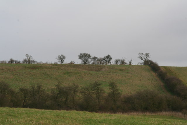
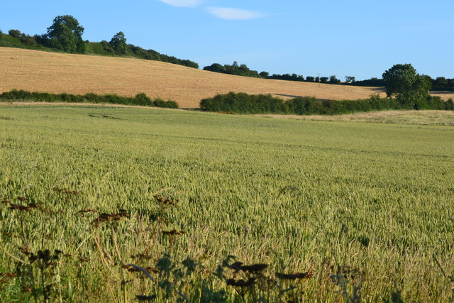
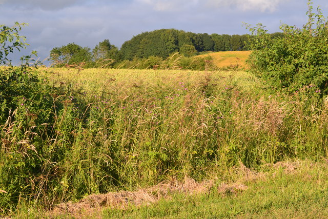
Belchford Hill is a prominent landmark located in the county of Lincolnshire, England. It is situated near the village of Belchford, which lies within the Lincolnshire Wolds Area of Outstanding Natural Beauty. Despite its name, Belchford Hill is not a true hill but rather a gentle incline that forms part of the Lincolnshire Wolds range.

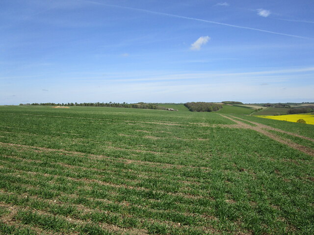
Standing at an elevation of approximately 168 meters (551 feet) above sea level, Belchford Hill offers breathtaking panoramic views of the surrounding countryside. On a clear day, visitors can enjoy vistas extending as far as the Lincoln Cathedral to the northwest and the North Sea coastline to the east.

The hill is covered in lush green grass and is home to a variety of flora and fauna, including wildflowers and butterflies. It is a haven for nature enthusiasts, offering opportunities for walking, hiking, and birdwatching.

Belchford Hill is also steeped in history, with evidence of Iron Age and Roman settlements in the area. The remains of an ancient hillfort, known as Castledyke, can be found on the summit of the hill, providing insight into the region's past.

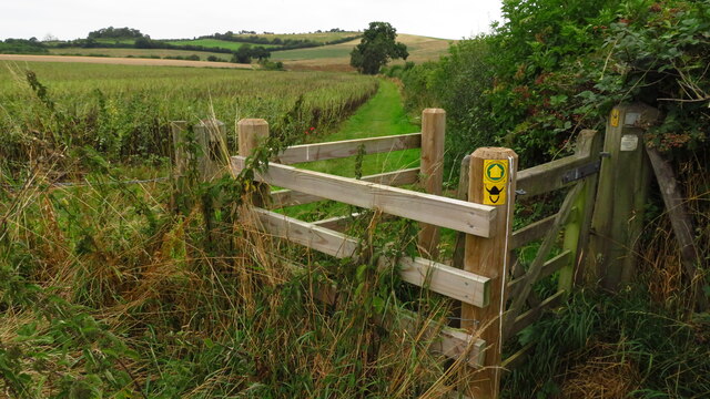
Access to Belchford Hill is relatively easy, with footpaths leading up to the summit from the nearby village. The hill attracts both locals and tourists alike, seeking tranquility and breathtaking views in the heart of the Lincolnshire countryside.

If you have any feedback on the listing, please let us know in the comments section below.

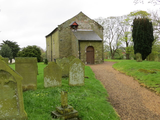
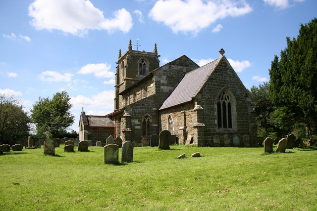
Belchford Hill Images

Images are sourced within 2km of 53.266704/-0.036705862 or Grid Reference TF3176. Thanks to Geograph Open Source API. All images are credited.

Direction Sign – Signpost on Main Road in Belchford Located on the north side of the T junction of Main Road and Fulletby Road in Belchford parish. 3 arms and no finial.

Milestone Society National ID: LI_TF2975
Direction Sign – Signpost on Main Road in Belchford
Located on the north side of the T junction of Main Road and Fulletby Road in Belchford parish. 3 arms and no finial. Milestone Society National ID: LI_TF2975
The Viking Way north of Belchford
View towards Scotland Barn
Ordnance Survey Cut Mark This OS cut mark can be found on the north face of St Peter & St Paul's Church. It marks a point 83.660m above mean sea level.
Ordnance Survey Cut Mark
This OS cut mark can be found on the north face of St Peter & St Paul's Church. It marks a point 83.660m above mean sea level.
The church of St Peter and St Paul in Belchford Looking eastward.
The church of St Peter and St Paul in Belchford
Looking eastward.
Ordnance Survey Cut Mark This mark can be found on the wall of St Peter's Church in Belchford.
For more detail see : <span class="nowrap"><a title="http://www.bench-marks.org.uk/bm40750" rel="nofollow ugc noopener" href="http://www.bench-marks.org.uk/bm40750">Link</a><img style="margin-left:2px;" alt="External link" title="External link - shift click to open in new window" src="https://s1.geograph.org.uk/img/external.png" width="10" height="10"/></span>
Ordnance Survey Cut Mark
This mark can be found on the wall of St Peter's Church in Belchford. For more detail see : LinkExternal link
Scarred hillside SE of Juicetrump Hill, Belchford At first sight seemed to be the result of quarrying but understood to be a wartime gun emplacement.
Scarred hillside SE of Juicetrump Hill, Belchford
At first sight seemed to be the result of quarrying but understood to be a wartime gun emplacement.
Uphill view towards Fulletby
Roadside view between Belchford and Fulletby
Church of St Peter and St Paul, Belchford
The Blue Bell Inn & Restaurant, Belchford On Main Road.
The Blue Bell Inn & Restaurant, Belchford
On Main Road.
Sign for the Blue Bell Inn & Restaurant, Belchford
Elizabeth II postbox on Main Road, Belchford Postbox No. LN9 310.

See <a href="https://www.geograph.org.uk/photo/6676270">TF2975 : Houses on Main Road, Belchford</a> for context.
Elizabeth II postbox on Main Road, Belchford
Postbox No. LN9 310. See TF2975 : Houses on Main Road, Belchford for context.
Houses on Main Road, Belchford Showing position of Postbox No. LN9 310.

See <a href="https://www.geograph.org.uk/photo/6676267">TF2975 : Elizabeth II postbox on Main Road, Belchford</a> for postbox.
Houses on Main Road, Belchford
Showing position of Postbox No. LN9 310. See TF2975 : Elizabeth II postbox on Main Road, Belchford for postbox.
House on Main Road, Belchford
Main Road, Belchford
Fingerpost and cairn on Main Road, Belchford
Church of St Peter and St Paul, Belchford
Show me another place!

Belchford Hill is located at Grid Ref: TF3176 (Lat: 53.266704, Lng: -0.036705862)

Administrative County: Lincolnshire

District: East Lindsey

Police Authority: Lincolnshire

What 3 Words

///paramedic.scorched.foot. Near Burwell, Lincolnshire

Related Wikis

Oxcombe

Oxcombe is a small village in the civil parish of Maidenwell, in the East Lindsey district of Lincolnshire, England. It is situated 3 miles (5 km) west...
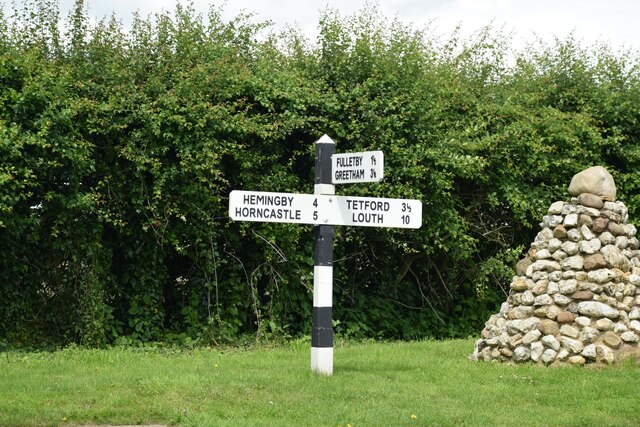
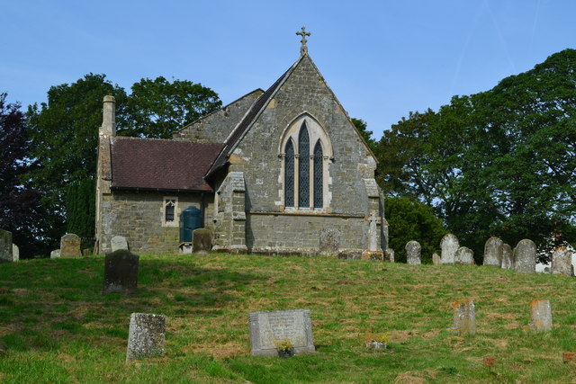
Belchford

Belchford is a village and civil parish in the East Lindsey district of Lincolnshire, England. The village is situated approximately 4 miles (6 km) north...

East Lindsey

East Lindsey is a local government district in Lincolnshire, England. Its council is based in Horncastle and the largest town is Skegness. Other towns...

Juicetrump Hill

Juicetrump Hill is a hill around half a mile north of Belchford and 4.5 miles north-east of Horncastle in Lincolnshire, UK within the Lincolnshire Wolds...

Tetford

Tetford is a village and civil parish in the East Lindsey district of Lincolnshire, England. == History == Tetford is listed as "Tesforde" in the Domesday...

Ruckland

Ruckland is a village in the civil parish of Maidenwell, and about 6 miles (10 km) south from the town of Louth, in the East Lindsey district, in the county...

Farforth

Farforth or Farforth-cum-Maidenwell is a hamlet in the East Lindsey district of Lincolnshire, England. It is in the civil parish of Maidenwell, and approximately...

Salmonby

Salmonby is a village in the civil parish of Tetford, in the East Lindsey district of Lincolnshire, England. It is situated 5.5 miles (8.9 km) north-east...

Nearby Amenities

Located within 500m of 53.266704,-0.036705862
Bluestone Heath Road
Naptan AtcoCode: 270000009780
Naptan Bearing: NE
Naptan BusStopType: CUS
Naptan CommonName: Bluestone Heath Road
Naptan Indicator: NE - bound
Naptan Landmark: Bluestone Heath Road
Naptan NaptanCode: linjdwgm
Naptan Street: Lowfield Lane
Naptan Verified: no
Source: naptan_import
Lat/Long: 53.2683629/-0.0390284
Bluestone Heath Road
Naptan AtcoCode: 2700LBHB5044
Naptan Bearing: SW
Naptan BusStopType: CUS
Naptan CommonName: Bluestone Heath Road
Naptan Indicator: SW - bound
Naptan Landmark: Bluestone Heath Road
Naptan NaptanCode: lindpmdg
Naptan Street: Lowfield Lane
Naptan Verified: no
Source: naptan_import
Lat/Long: 53.2683165/-0.0389405
Glebe Farm
Place: farm
Source: Bing
Lat/Long: 53.2642259/-0.0408171
Belchford Hill
Natural: peak
Source: Bing
Lat/Long: 53.2671828/-0.0365885
The data included in this document is from www.openstreetmap.org. The data is made available under ODbL.

Have you been to Belchford Hill?

Leave your review of Belchford Hill below (or comments, questions and feedback).