Lady's Plantation
Wood, Forest in Lincolnshire East Lindsey
England
Lady's Plantation
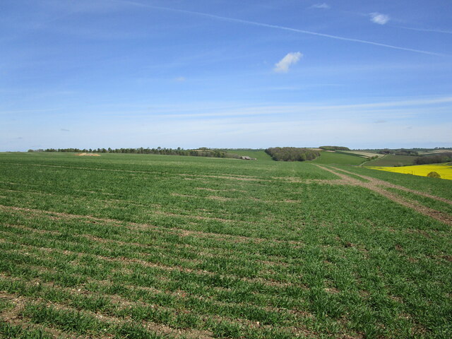
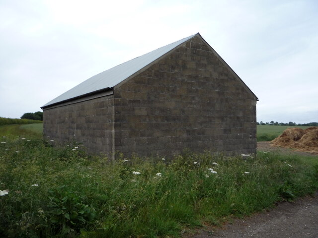
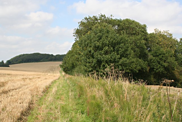
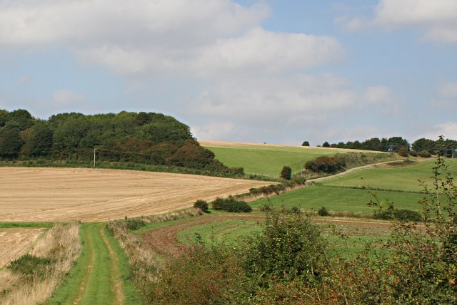
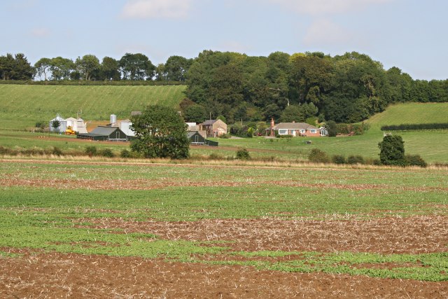
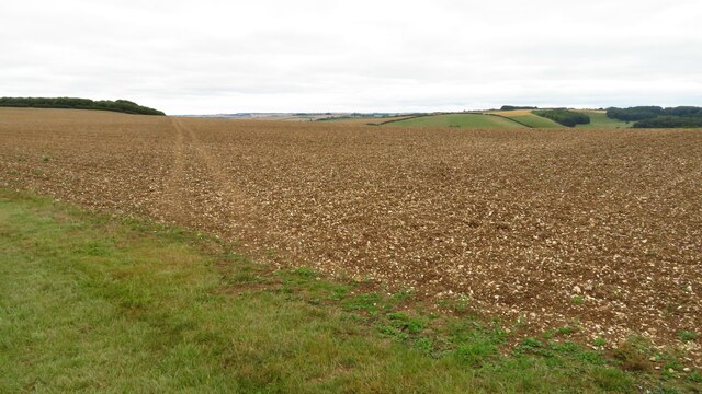
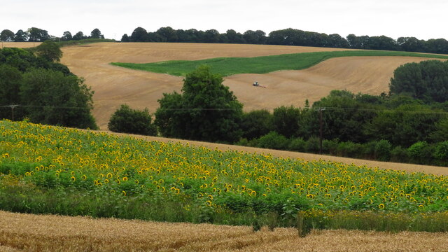
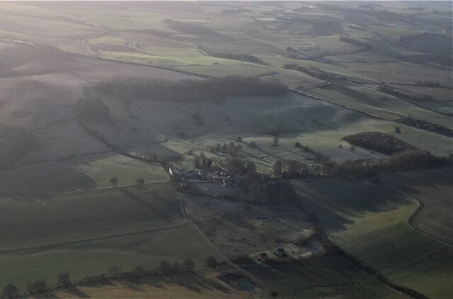
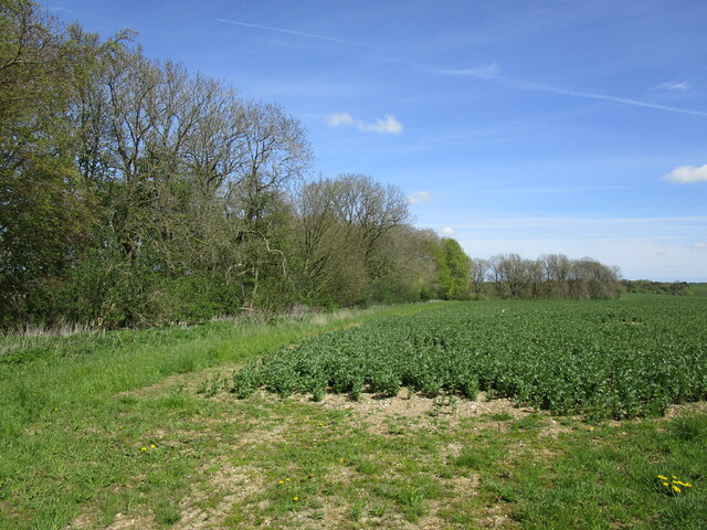
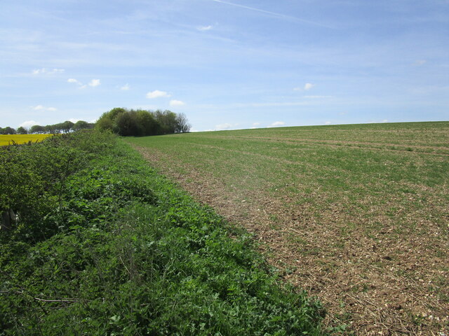
Lady's Plantation is a picturesque woodland area located in Lincolnshire, England. Covering an expansive area, it is a popular destination for nature lovers, hikers, and birdwatchers. The plantation is situated in a serene environment, surrounded by lush greenery and towering trees, providing a peaceful escape from the bustling city life.
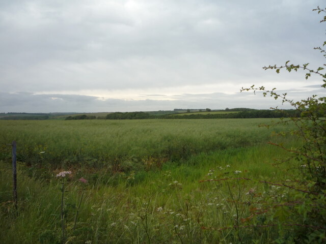
The plantation is renowned for its diverse range of plant species, including oak, beech, and birch trees that create a dense canopy, casting cool shadows on the forest floor. The undergrowth is adorned with vibrant wildflowers, creating a colorful tapestry that adds to the natural beauty of the area.
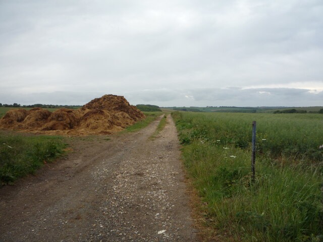
Walking trails meander through the plantation, offering visitors an opportunity to explore its enchanting beauty. These well-maintained paths wind through the woodland, leading to hidden clearings and tranquil ponds, providing a haven for various wildlife species. Bird enthusiasts can spot a variety of avian creatures, including woodpeckers, owls, and songbirds, making it an ideal spot for birdwatching.
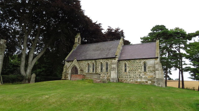
In addition to its natural allure, Lady's Plantation also holds historical significance. It is believed that the plantation dates back to the medieval era and was once owned by a prominent lady, hence the name. Evidence of this rich history can be found in the form of ancient ruins and remnants of old architectural structures nestled within the woodland.
Overall, Lady's Plantation in Lincolnshire offers a serene and idyllic setting, combining natural beauty with historical charm. Its well-preserved woodland and diverse flora and fauna make it a must-visit destination for nature enthusiasts and those seeking a peaceful retreat in the heart of Lincolnshire.
If you have any feedback on the listing, please let us know in the comments section below.
Lady's Plantation Images
Images are sourced within 2km of 53.272015/-0.030553568 or Grid Reference TF3176. Thanks to Geograph Open Source API. All images are credited.
Lady's Plantation is located at Grid Ref: TF3176 (Lat: 53.272015, Lng: -0.030553568)
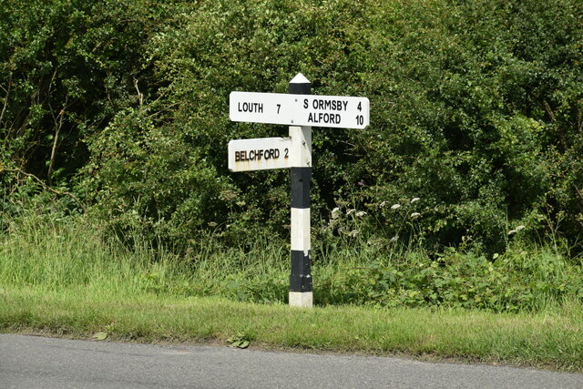
Administrative County: Lincolnshire
District: East Lindsey
Police Authority: Lincolnshire
What 3 Words
///cuts.hound.stiletto. Near Burwell, Lincolnshire
Nearby Locations
Related Wikis

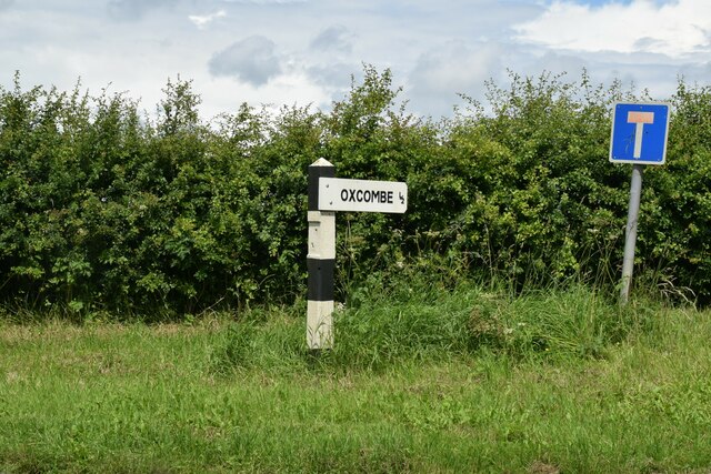
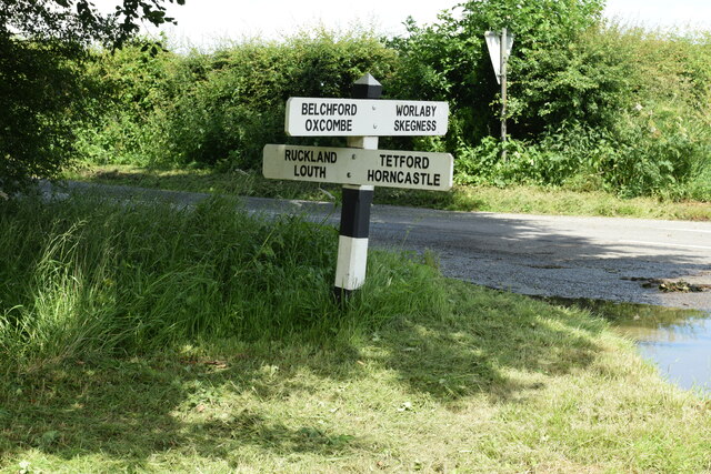
Oxcombe
Oxcombe is a small village in the civil parish of Maidenwell, in the East Lindsey district of Lincolnshire, England. It is situated 3 miles (5 km) west...

Ruckland
Ruckland is a village in the civil parish of Maidenwell, and about 6 miles (10 km) south from the town of Louth, in the East Lindsey district, in the county...

Farforth
Farforth or Farforth-cum-Maidenwell is a hamlet in the East Lindsey district of Lincolnshire, England. It is in the civil parish of Maidenwell, and approximately...

Belchford
Belchford is a village and civil parish in the East Lindsey district of Lincolnshire, England. The village is situated approximately 4 miles (6 km) north...

Juicetrump Hill
Juicetrump Hill is a hill around half a mile north of Belchford and 4.5 miles north-east of Horncastle in Lincolnshire, UK within the Lincolnshire Wolds...
Maidenwell, Lincolnshire
Maidenwell is a village and civil parish in the East Lindsey district of Lincolnshire, England. The village is 6 miles (10 km) south from Louth. Maidenwell...

East Lindsey
East Lindsey is a local government district in Lincolnshire, England. Its council is based in Horncastle and the largest town is Skegness. Other towns...
Tetford
Tetford is a village and civil parish in the East Lindsey district of Lincolnshire, England. == History == Tetford is listed as "Tesforde" in the Domesday...
Related Videos

46. Tetford & Somersby, Lincolnshire, March 2022
A relatively gently 6 mile walk in the Lincolnshire Wolds. We start from the village of Tetford (parking by the primary school and ...

Lincolnshire : The Everesting Challenge
Early, very early Saturday 27th March I arrived at Tetford Hill, Lincolnshire for my first attempt at the Everesting Challenge.
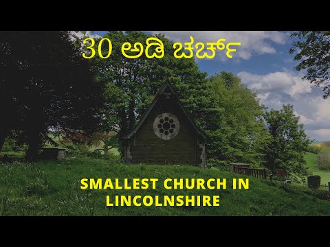
St OLAVE RUCKLAND MAY 2021 | 30 ಅಡಿ ಉದ್ದದ ಚರ್ಚ್ | SMALLEST CHURCH | UK (ಇಂಗ್ಲೆಂಡ್ ) KANNADA VLOGS
vgavlogs #vgarandom , #vgakannada , #ಬ್ರಿಟನ್, #Halli, #ಹಳ್ಳಿ St Olave church is situated in the picturesque village ...
Nearby Amenities
Located within 500m of 53.272015,-0.030553568Have you been to Lady's Plantation?
Leave your review of Lady's Plantation below (or comments, questions and feedback).