Rookery Plantation

Wood, Forest in Lincolnshire East Lindsey

England

Rookery Plantation

Direction Sign – Signpost on Main Road in Belchford Located on the north side of the T junction of Main Road and Fulletby Road in Belchford parish. 3 arms and no finial.

Milestone Society National ID: LI_TF2975
Direction Sign – Signpost on Main Road in Belchford Credit: A Riley

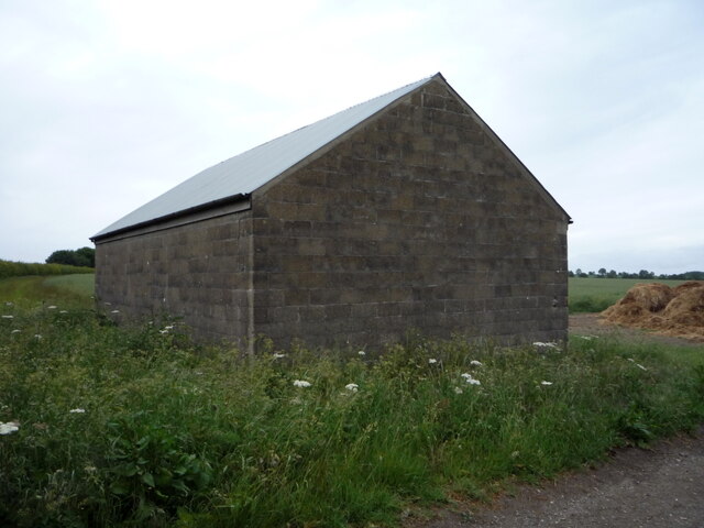
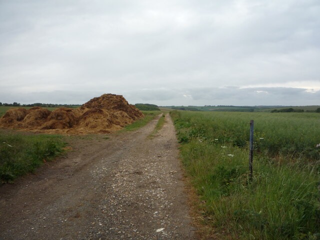
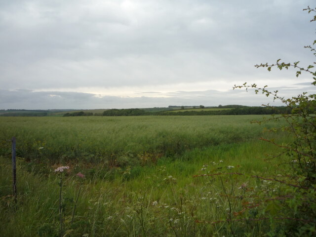
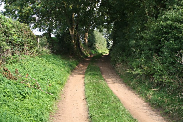
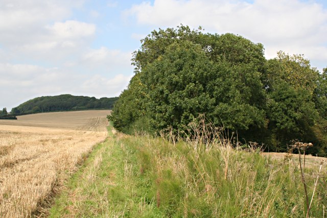
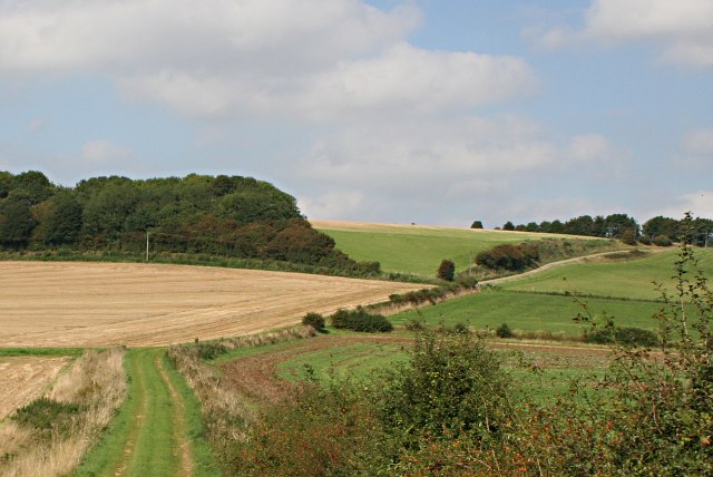
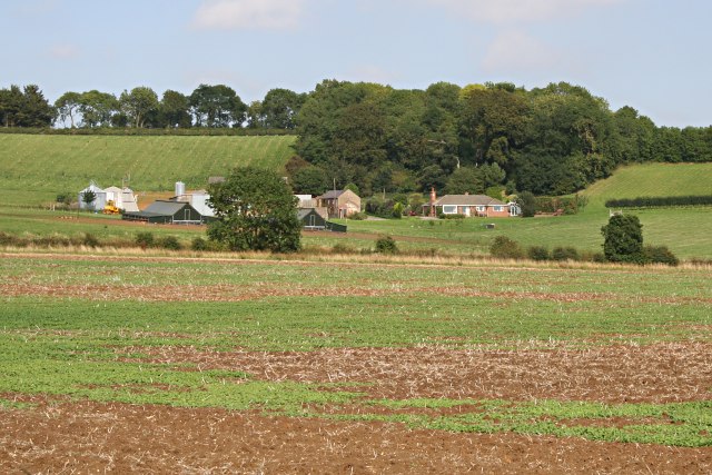
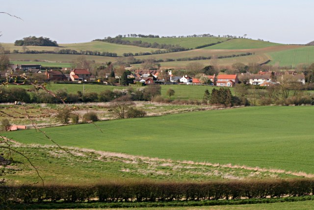
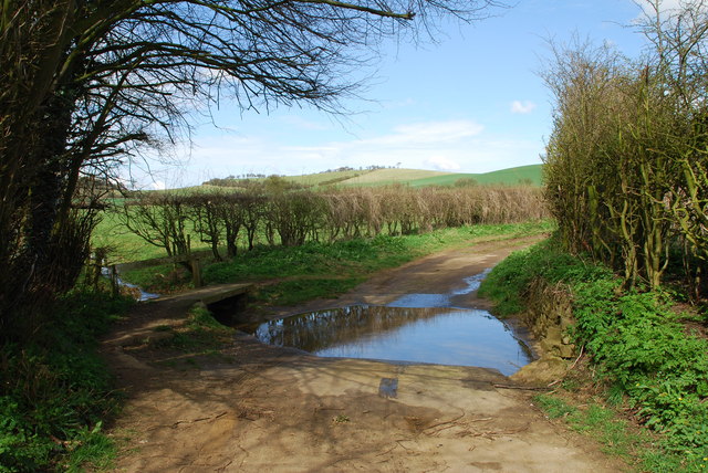
Rookery Plantation is a picturesque woodland located in Lincolnshire, England. Nestled in the heart of the county, this plantation is renowned for its natural beauty and diverse ecosystem. Spanning across a vast area, it offers a tranquil escape for nature enthusiasts and outdoor adventurers alike.

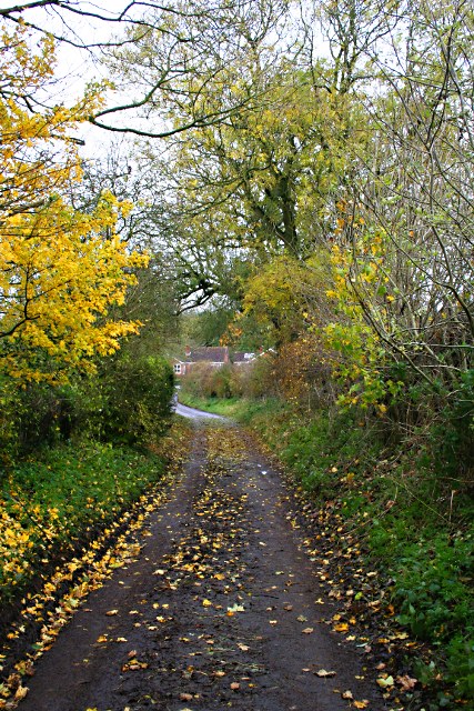
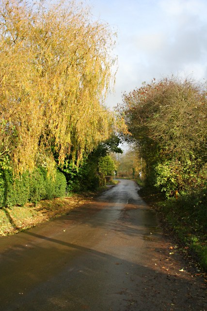
The plantation is predominantly composed of dense woodlands, featuring a variety of tree species such as oak, beech, and birch. The towering trees provide a lush canopy, creating a cool and shaded environment perfect for leisurely walks or hikes. Additionally, the forest floor is carpeted with a vibrant array of wildflowers, adding to its overall charm.

Rookery Plantation is home to an abundance of wildlife, making it a haven for animal lovers and birdwatchers. Visitors may catch a glimpse of deer gracefully bounding through the trees, or spot a fox stealthily navigating its way through the undergrowth. The plantation also attracts a wide range of bird species, including woodpeckers, owls, and various songbirds, making it an ideal destination for bird enthusiasts.

Aside from its natural beauty, Rookery Plantation also offers a range of recreational activities. There are well-marked trails that crisscross the woodland, providing opportunities for hiking, cycling, and horseback riding. The plantation also features picnic areas, where visitors can relax and enjoy the tranquility of the surroundings.

Overall, Rookery Plantation in Lincolnshire is a captivating woodland that showcases the natural wonders of the region. Its diverse flora and fauna, combined with its recreational offerings, make it a must-visit destination for nature lovers and outdoor enthusiasts.

If you have any feedback on the listing, please let us know in the comments section below.

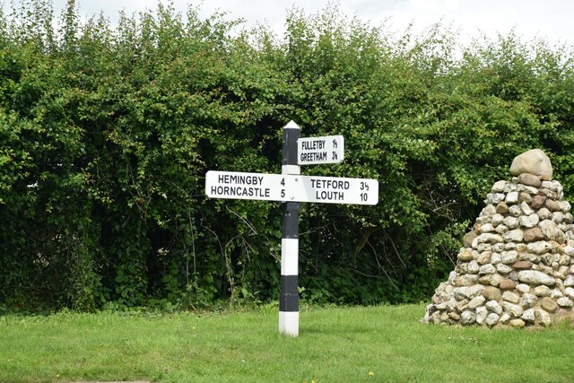
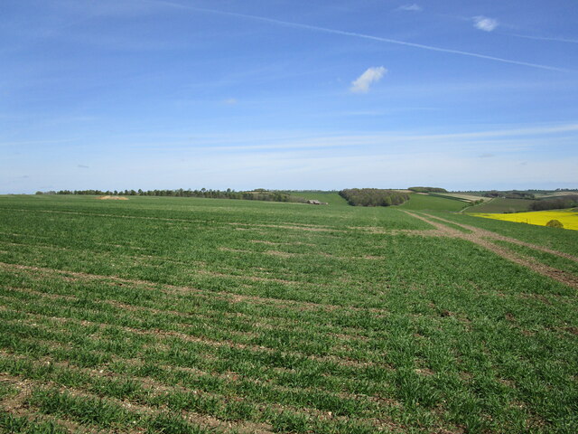
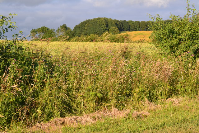
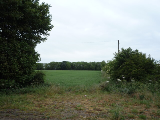
Rookery Plantation Images

Images are sourced within 2km of 53.269286/-0.03459307 or Grid Reference TF3176. Thanks to Geograph Open Source API. All images are credited.

Direction Sign – Signpost on Main Road in Belchford Located on the north side of the T junction of Main Road and Fulletby Road in Belchford parish. 3 arms and no finial.

Milestone Society National ID: LI_TF2975
Direction Sign – Signpost on Main Road in Belchford
Located on the north side of the T junction of Main Road and Fulletby Road in Belchford parish. 3 arms and no finial. Milestone Society National ID: LI_TF2975
View towards Scotland Barn
Roadside view between Belchford and Fulletby
Field entrance off Bluestone Heath Road
Farm building on Bluestone Heath Road
Farm track off Bluestone Heath Road
Cereal crop off Bluestone Heath Road
Fingerpost and cairn on Main Road, Belchford
Ings Lane Beyond the Ford At this point, just past the ford, the lane is a well-used farm track.
Ings Lane Beyond the Ford
At this point, just past the ford, the lane is a well-used farm track.
Ings Lane This section of the lane runs due north through this grid square.  It has been ploughed over in the past and is no longer used by vehicles.
Ings Lane
This section of the lane runs due north through this grid square. It has been ploughed over in the past and is no longer used by vehicles.
Ings Lane This is a view of the northern end of the lane where it climbs the chalk ridge to join the Bluestone Heath Road at the top of the hill.
Ings Lane
This is a view of the northern end of the lane where it climbs the chalk ridge to join the Bluestone Heath Road at the top of the hill.
Ings Farm This farm is sheltering underneath the chalk ridge of the Wolds.
Ings Farm
This farm is sheltering underneath the chalk ridge of the Wolds.
Belchford from the south
Bridge Repairs At the centre of the village the road crosses a stream and the bridge is in need of replacement. These roadworks blocked all vehicular traffic for a couple of months and the only way around is a detour of several miles.
Bridge Repairs
At the centre of the village the road crosses a stream and the bridge is in need of replacement. These roadworks blocked all vehicular traffic for a couple of months and the only way around is a detour of several miles.
Narrow Lane, Belchford Narrow Lane is not just a description, it is also the name of this little back lane.
Narrow Lane, Belchford
Narrow Lane is not just a description, it is also the name of this little back lane.
The Road to Glebe Hill Looking along the road which leads out of the village of Belchford in an easterly direction.
The Road to Glebe Hill
Looking along the road which leads out of the village of Belchford in an easterly direction.
Ings Lane Ford, Belchford This is a small ford which appears as the road out of Belchford becomes a track.
Ings Lane Ford, Belchford
This is a small ford which appears as the road out of Belchford becomes a track.
Direction Sign – Signpost on Bluestone Heath Road in Belchford parish Located on the northeast side of the T junction of Bluestone Heath Road and Lowfield Lane in Belchford parish. 3 arms and no finial. See also <a title="https://www.geograph.org.uk/photo/3261197" href="https://www.geograph.org.uk/photo/3261197">Link</a>.

Milestone Society National ID: LI_TF3076
Direction Sign – Signpost on Bluestone Heath Road in Belchford parish
Located on the northeast side of the T junction of Bluestone Heath Road and Lowfield Lane in Belchford parish. 3 arms and no finial. See also Link. Milestone Society National ID: LI_TF3076
Show me another place!

Rookery Plantation is located at Grid Ref: TF3176 (Lat: 53.269286, Lng: -0.03459307)

Administrative County: Lincolnshire

District: East Lindsey

Police Authority: Lincolnshire

What 3 Words

///unfit.elevate.fidgeting. Near Burwell, Lincolnshire
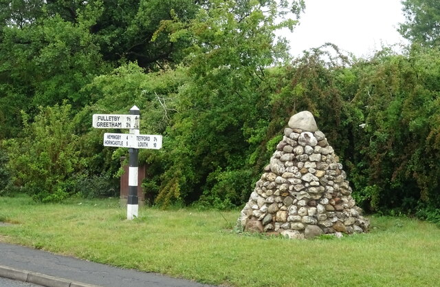
Related Wikis

Oxcombe

Oxcombe is a small village in the civil parish of Maidenwell, in the East Lindsey district of Lincolnshire, England. It is situated 3 miles (5 km) west...
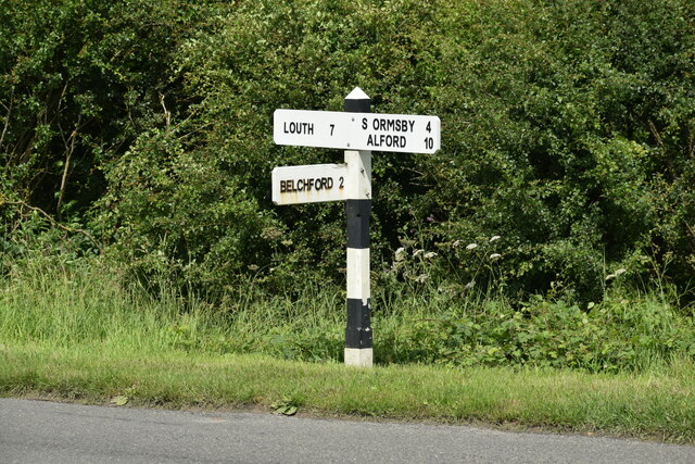
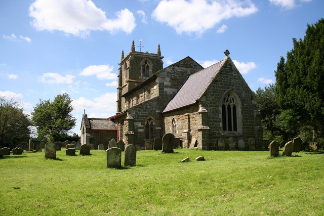
Belchford

Belchford is a village and civil parish in the East Lindsey district of Lincolnshire, England. The village is situated approximately 4 miles (6 km) north...

Juicetrump Hill

Juicetrump Hill is a hill around half a mile north of Belchford and 4.5 miles north-east of Horncastle in Lincolnshire, UK within the Lincolnshire Wolds...

East Lindsey

East Lindsey is a local government district in Lincolnshire, England. Its council is based in Horncastle and the largest town is Skegness. Other towns...

Farforth

Farforth or Farforth-cum-Maidenwell is a hamlet in the East Lindsey district of Lincolnshire, England. It is in the civil parish of Maidenwell, and approximately...

Ruckland

Ruckland is a village in the civil parish of Maidenwell, and about 6 miles (10 km) south from the town of Louth, in the East Lindsey district, in the county...

Tetford

Tetford is a village and civil parish in the East Lindsey district of Lincolnshire, England. == History == Tetford is listed as "Tesforde" in the Domesday...

Maidenwell, Lincolnshire

Maidenwell is a village and civil parish in the East Lindsey district of Lincolnshire, England. The village is 6 miles (10 km) south from Louth. Maidenwell...

Nearby Amenities

Located within 500m of 53.269286,-0.03459307
Bluestone Heath Road
Naptan AtcoCode: 270000009780
Naptan Bearing: NE
Naptan BusStopType: CUS
Naptan CommonName: Bluestone Heath Road
Naptan Indicator: NE - bound
Naptan Landmark: Bluestone Heath Road
Naptan NaptanCode: linjdwgm
Naptan Street: Lowfield Lane
Naptan Verified: no
Source: naptan_import
Lat/Long: 53.2683629/-0.0390284
Bluestone Heath Road
Naptan AtcoCode: 2700LBHB5044
Naptan Bearing: SW
Naptan BusStopType: CUS
Naptan CommonName: Bluestone Heath Road
Naptan Indicator: SW - bound
Naptan Landmark: Bluestone Heath Road
Naptan NaptanCode: lindpmdg
Naptan Street: Lowfield Lane
Naptan Verified: no
Source: naptan_import
Lat/Long: 53.2683165/-0.0389405
Belchford Hill
Natural: peak
Source: Bing
Lat/Long: 53.2671828/-0.0365885
The data included in this document is from www.openstreetmap.org. The data is made available under ODbL.

Have you been to Rookery Plantation?

Leave your review of Rookery Plantation below (or comments, questions and feedback).