Shepheards Hurst
Wood, Forest in Surrey Tandridge
England
Shepheards Hurst
Shepheards Hurst, located in Surrey, England, is a picturesque wood and forest area that offers a serene and tranquil escape from the bustling city life. Spanning over a vast expanse, it is a popular destination for nature enthusiasts, hikers, and those seeking solace in the beauty of the outdoors.
The woodlands of Shepheards Hurst are known for their diverse range of trees, including ancient oaks, beech, and birch. These lush, green surroundings provide a habitat for a variety of wildlife, making it an ideal spot for birdwatchers and animal enthusiasts. Visitors may catch a glimpse of deer, rabbits, squirrels, and a multitude of bird species as they explore the area.
The forest trails wind through the woodlands, offering visitors the opportunity to immerse themselves in nature. The pathways are well-maintained, making it accessible to hikers of all levels. Along the way, one can marvel at the vibrant wildflowers and ferns that carpet the forest floor, adding a touch of color to the serene landscape.
Shepheards Hurst also boasts a charming picnic area, where visitors can relax and enjoy a meal amidst the natural beauty. The peaceful atmosphere and scenic surroundings make it an ideal spot for families and friends to gather for a day out.
Overall, Shepheards Hurst in Surrey offers a delightful escape into nature. Its lush woodlands, diverse wildlife, and well-maintained trails make it a must-visit destination for those seeking a peaceful and rejuvenating experience in the heart of the English countryside.
If you have any feedback on the listing, please let us know in the comments section below.
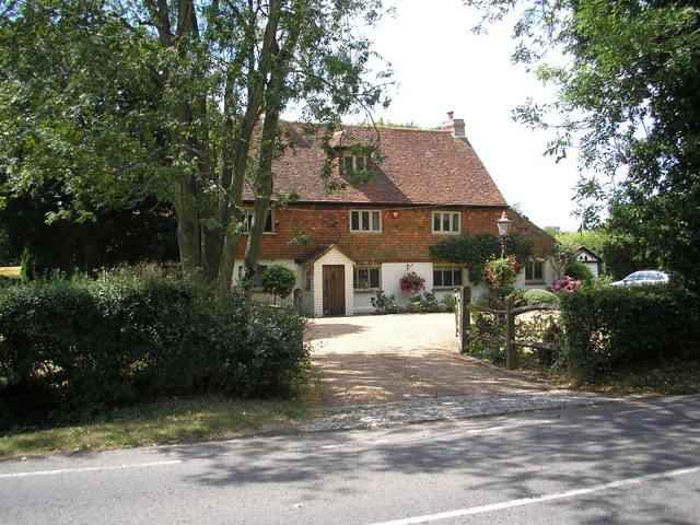
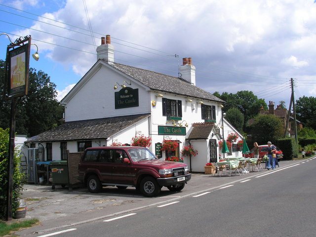
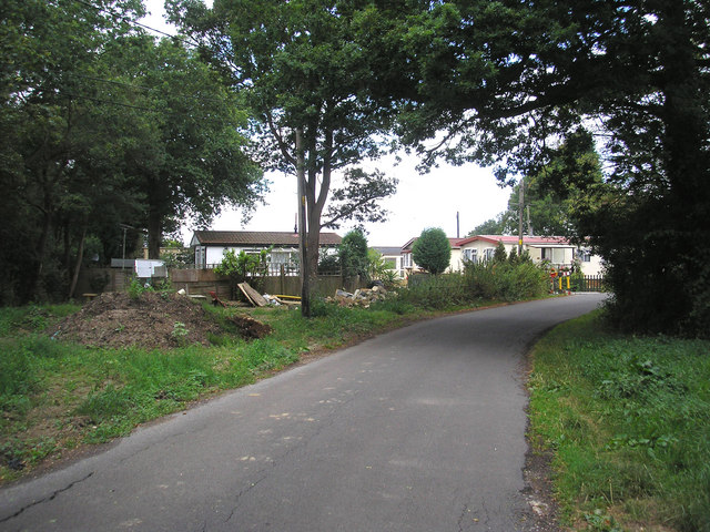
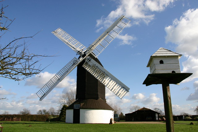
Shepheards Hurst Images
Images are sourced within 2km of 51.201009/-0.12395578 or Grid Reference TQ3146. Thanks to Geograph Open Source API. All images are credited.


Shepheards Hurst is located at Grid Ref: TQ3146 (Lat: 51.201009, Lng: -0.12395578)
Administrative County: Surrey
District: Tandridge
Police Authority: Surrey
What 3 Words
///claps.poet.winner. Near Salfords, Surrey
Nearby Locations
Related Wikis

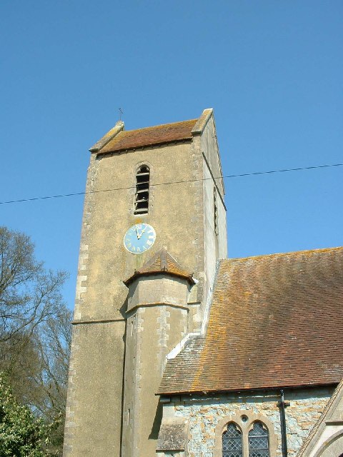
Church of St John the Baptist, Outwood
The Church of St John the Baptist, Outwood, is the parish church of Outwood, Surrey, England. == Clergy and style of worship == Part of the Diocese of...

Outwood, Surrey
Outwood is a village and civil parish in the Tandridge district of the Surrey weald. == Geography == Outwood is separated from Redhill by the M23 which...

Redhill Aerodrome
Redhill Aerodrome (ICAO: EGKR) is an operational general aviation aerodrome located 1.5 NM (2.8 km; 1.7 mi) south-east of Redhill, Surrey, England, in...
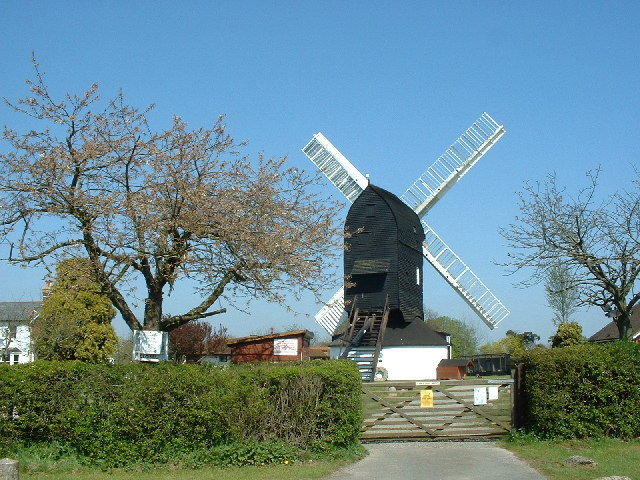
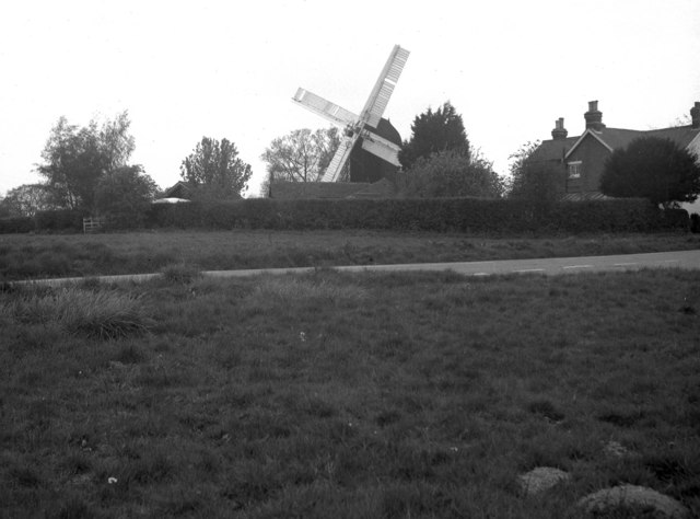
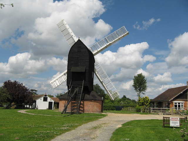
Outwood Windmill
Outwood Windmill is a Grade I listed post mill in Outwood, Surrey. Built in 1665 by Thomas Budgen, a miller from Nutfield in Surrey, it is Britain's oldest...
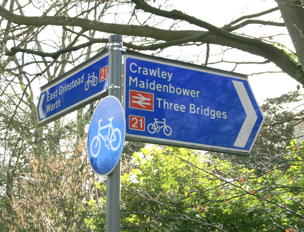
National Cycle Route 21
National Cycle Route 21 (or NCR 21) is part of the United Kingdom's National Cycle Network. It runs from Greenwich in South-East London south to Crawley...
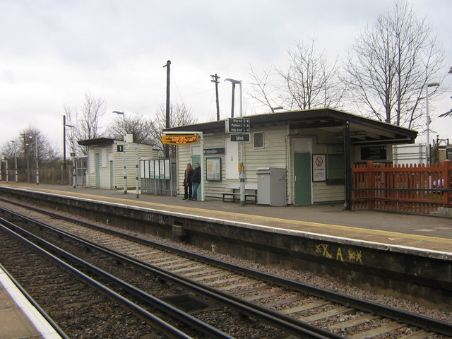
Salfords railway station
Salfords railway station serves the village of Salfords in Surrey, England. The station is sometimes shown as Salfords (Surrey) in timetables to differentiate...
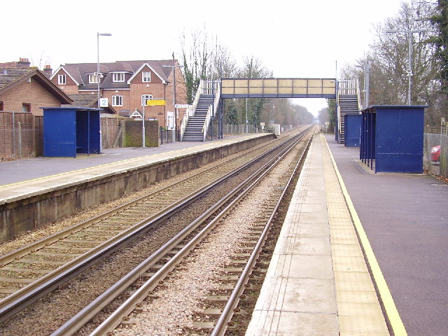
Nutfield railway station
Nutfield railway station is on the Redhill to Tonbridge Line and serves Nutfield, Surrey, England. It is about a mile south of Nutfield itself, located...

Horne, Surrey
Horne is a rural village and civil parish in the District of Tandridge in Surrey, England. The parish includes the hamlet of Newchapel, where the British...
Nearby Amenities
Located within 500m of 51.201009,-0.12395578Have you been to Shepheards Hurst?
Leave your review of Shepheards Hurst below (or comments, questions and feedback).