Norwood Grove
Wood, Forest in Surrey
England
Norwood Grove

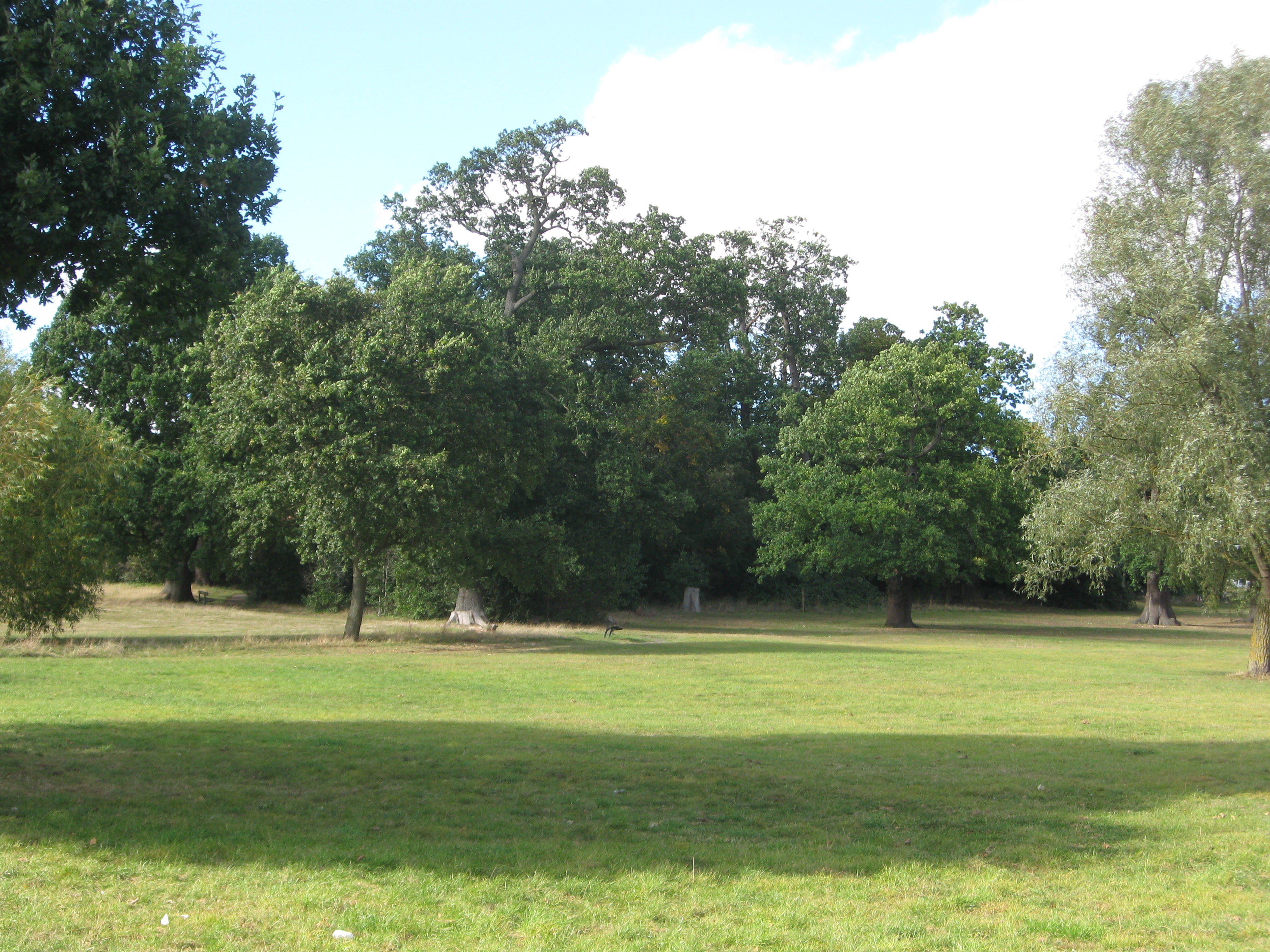
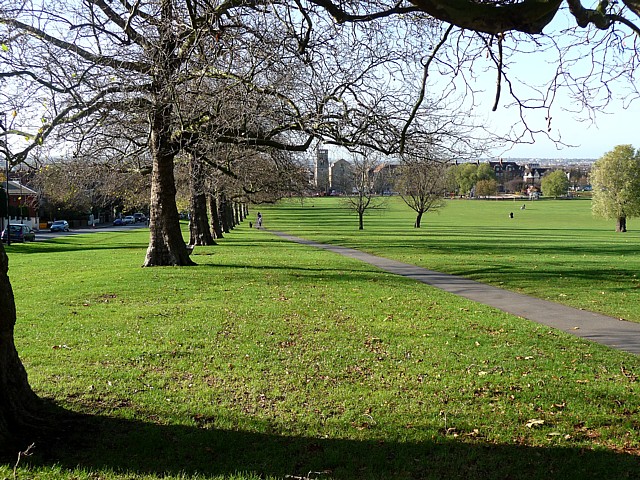
Norwood Grove, located in Surrey, England, is a picturesque wooded area that offers peace and tranquility to visitors. Covering an expansive area, Norwood Grove is home to a diverse range of trees, creating a lush and verdant forest. The grove is characterized by its dense foliage and towering trees, providing a serene and natural setting for nature enthusiasts.
The woodland is a haven for wildlife, with various species of birds, mammals, and insects calling Norwood Grove their home. Visitors can often spot squirrels scurrying among the branches or hear the melodic chirping of birds as they explore the area. The forest floor is adorned with an array of wildflowers, adding vibrant colors to the scenery.
Norwood Grove offers numerous walking trails, allowing visitors to fully immerse themselves in the natural beauty of the area. The well-maintained paths wind through the forest, offering breathtaking views of the surrounding landscape. These trails are suitable for both leisurely strolls and more challenging hikes, catering to individuals of all fitness levels.
The grove also features several picnic areas, inviting visitors to relax and enjoy a meal amidst the serene surroundings. Whether it's a family outing or a peaceful retreat, Norwood Grove provides ample space for gatherings and outdoor activities.
Overall, Norwood Grove in Surrey is a stunning woodland area that showcases the beauty of nature. With its diverse flora and fauna, well-maintained trails, and picnic areas, it offers a perfect escape from the hustle and bustle of everyday life.
If you have any feedback on the listing, please let us know in the comments section below.
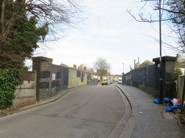
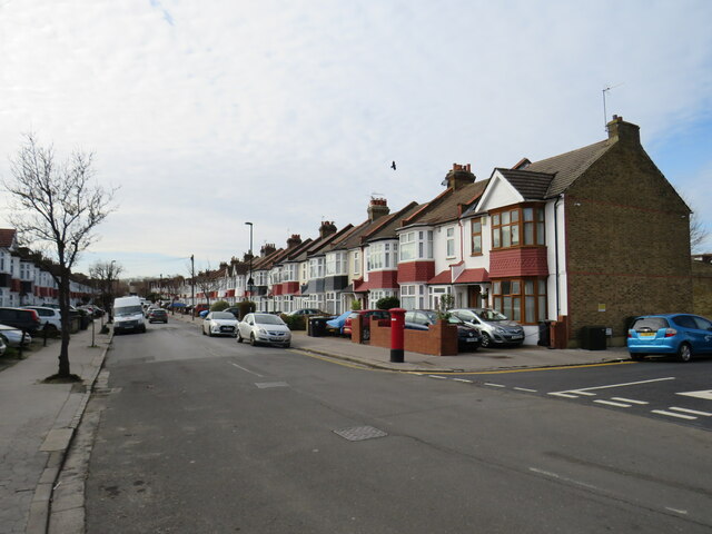
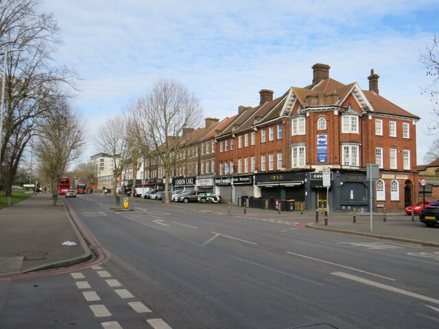
Norwood Grove Images
Images are sourced within 2km of 51.417898/-0.11500272 or Grid Reference TQ3170. Thanks to Geograph Open Source API. All images are credited.


Norwood Grove is located at Grid Ref: TQ3170 (Lat: 51.417898, Lng: -0.11500272)
Unitary Authority: Croydon
Police Authority: Metropolitan
What 3 Words
///fairly.moving.square. Near Thornton Heath, London
Nearby Locations
Related Wikis
Norwood Grove
Norwood Grove is an ornamental urban park in the northern extent of the London Borough of Croydon, by whom it is managed, although the most westerly part...

Biggin Wood
Biggin Wood (also known as Biggin Woods) is an area of ancient oak woodland situated within the London Borough of Croydon. The London Wildlife Trust is...
St Joseph's College, Upper Norwood
St Joseph's College is a 11-18 Voluntary-Aided, Lasallian, all boys' secondary school and sixth form with academy status, located in the Upper Norwood...

J. W. Hobbs' Ground
J. W. Hobbs' Ground was a cricket ground in Norbury, Surrey. The ground was constructed in 1885 within the grounds of Norbury Hall by local philanthropist...
Norbury High School for Girls
Norbury High School for Girls is a secondary school with academy status for girls aged 11–19. It is located in Thornton Heath, Greater London, England...
Streatham Common
Streatham Common is a large open space on the southern edge of Streatham in the London Borough of Lambeth. The shallow sloping lower (western) half of...
Bishop Thomas Grant School
Bishop Thomas Grant School (BTG) is a coeducational Roman Catholic secondary school and sixth form, situated in the Streatham area of the London Borough...
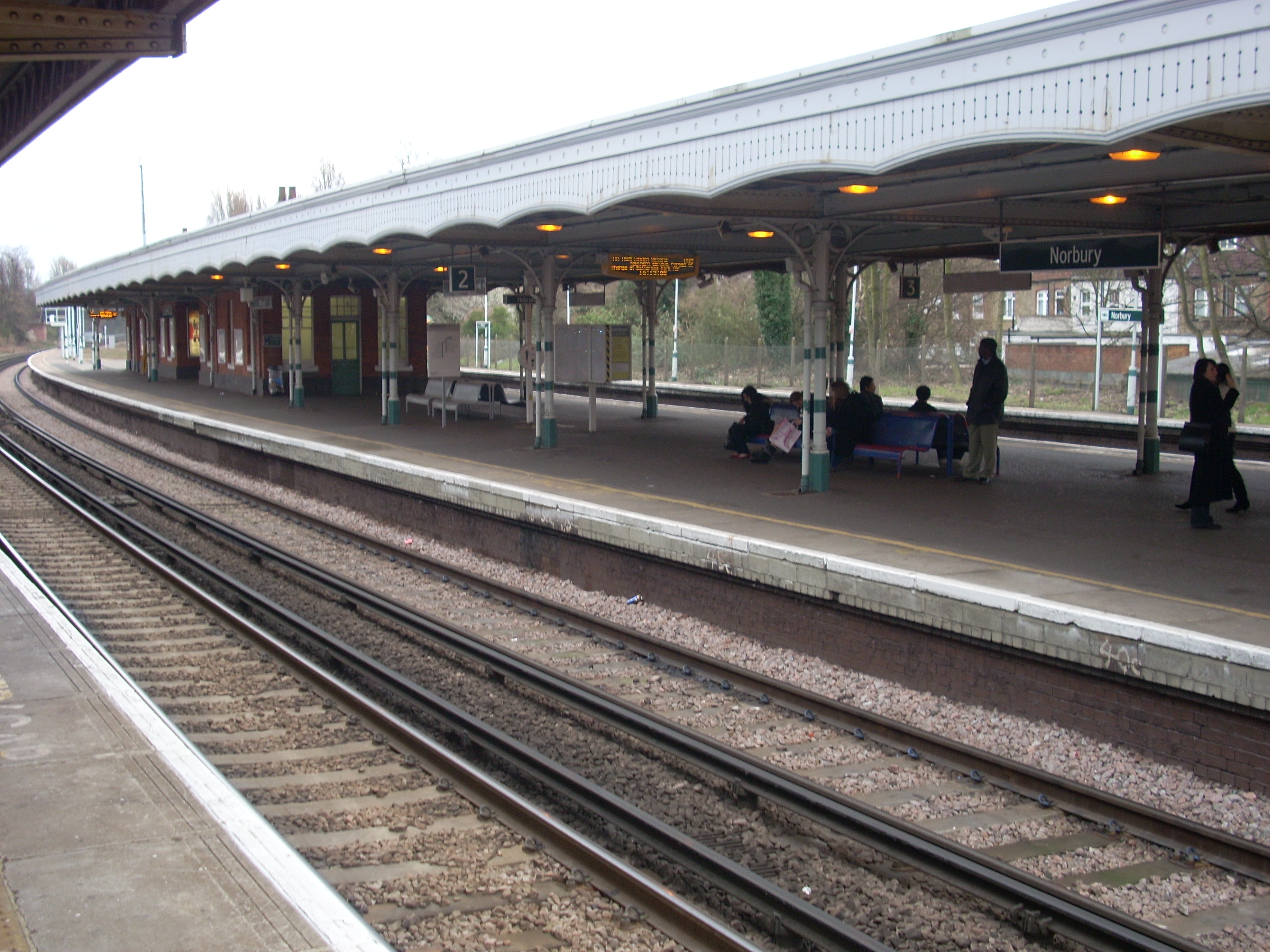
Norbury railway station
Norbury railway station is a National Rail station in the Norbury area of the London Borough of Croydon in south London. It is on the Brighton Main Line...
Nearby Amenities
Located within 500m of 51.417898,-0.11500272Have you been to Norwood Grove?
Leave your review of Norwood Grove below (or comments, questions and feedback).