Lodge Hill
Hill, Mountain in Hertfordshire East Hertfordshire
England
Lodge Hill
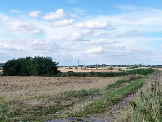
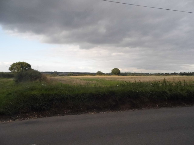
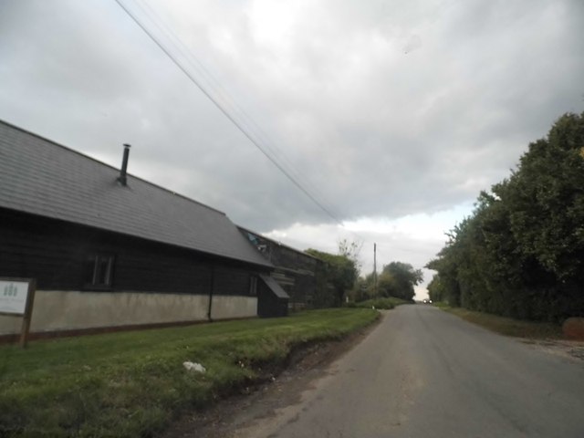
Lodge Hill is a prominent hill located in the county of Hertfordshire, England. Situated near the village of Aldbury, it is part of the Chiltern Hills Area of Outstanding Natural Beauty. Standing at an elevation of around 244 meters (800 feet), Lodge Hill offers breathtaking panoramic views of the surrounding countryside.
The hill is covered in lush greenery, with a mix of deciduous and coniferous trees, creating a picturesque landscape. It is a popular destination for hikers, nature enthusiasts, and photographers, who are drawn to its natural beauty and tranquility.
Lodge Hill is known for its diverse wildlife, including a variety of bird species, such as woodpeckers, owls, and buzzards. The hill is also home to a number of mammals, including deer and foxes, making it an important habitat for local fauna.
At the top of Lodge Hill, there is a small stone monument known as the Ivinghoe Beacon. This beacon was historically used as a signaling point, serving as a communication method during times of conflict. Today, it serves as a landmark for hikers and offers a spot to rest and take in the stunning views.
Overall, Lodge Hill is a cherished natural landmark in Hertfordshire, offering visitors a chance to immerse themselves in the beauty of the countryside and experience the tranquility of the Chiltern Hills.
If you have any feedback on the listing, please let us know in the comments section below.
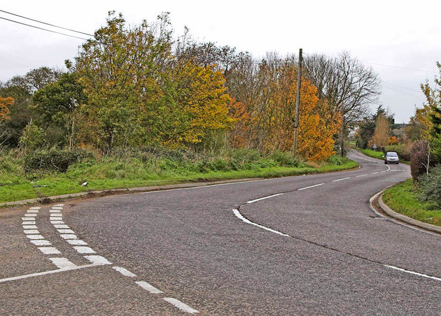
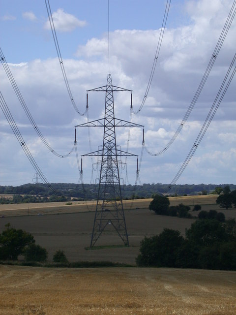
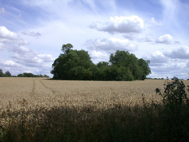
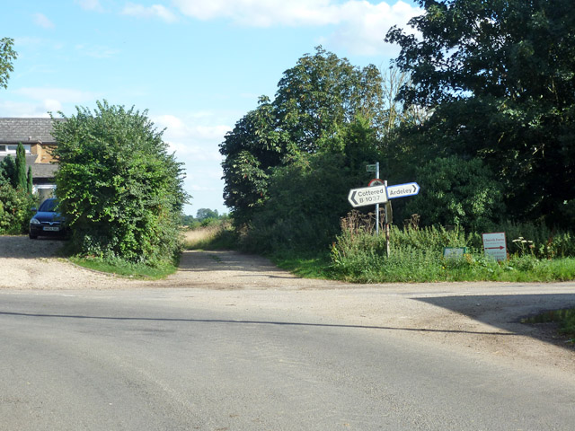
Lodge Hill Images
Images are sourced within 2km of 51.949084/-0.094468881 or Grid Reference TL3129. Thanks to Geograph Open Source API. All images are credited.


Lodge Hill is located at Grid Ref: TL3129 (Lat: 51.949084, Lng: -0.094468881)
Administrative County: Hertfordshire
District: East Hertfordshire
Police Authority: Hertfordshire
What 3 Words
///mystery.stop.epidemics. Near Walkern, Hertfordshire
Nearby Locations
Related Wikis

Cottered
Cottered is a village and civil parish 3 miles (4.8 km) west of Buntingford and 6 miles (9.7 km) east of Baldock in the East Hertfordshire District of...
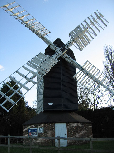
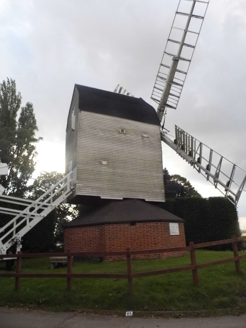
Cromer Windmill, Ardeley
Cromer Windmill, restored in four stages between 1967 and 1998, is a Grade II* listed post mill at Cromer, Ardeley, Hertfordshire, England. == History... ==
Cromer, Hertfordshire
Cromer is a hamlet in the civil parish of Ardeley, Hertfordshire, England. It is a small hamlet; however, it is noteworthy for possessing Hertfordshire...
Broadfield, Hertfordshire
Broadfield is a hamlet and former civil parish, now in the parish of Cottered, in the East Hertfordshire district, in the county of Hertfordshire, England...
Rushden, Hertfordshire
Rushden is a small village and civil parish which forms part of the grouped parish council of Rushden and Wallington in the North Hertfordshire district...

Ardeley
Ardeley is a small village and civil parish in East Hertfordshire, England. The parish includes the hamlet of Cromer, as well as Wood End and Moor Green...
Throcking
Throcking is a village and former civil parish, now in the parish of Cottered, in the East Hertfordshire district, in the county of Hertfordshire, England...

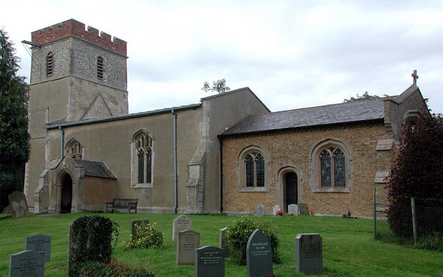
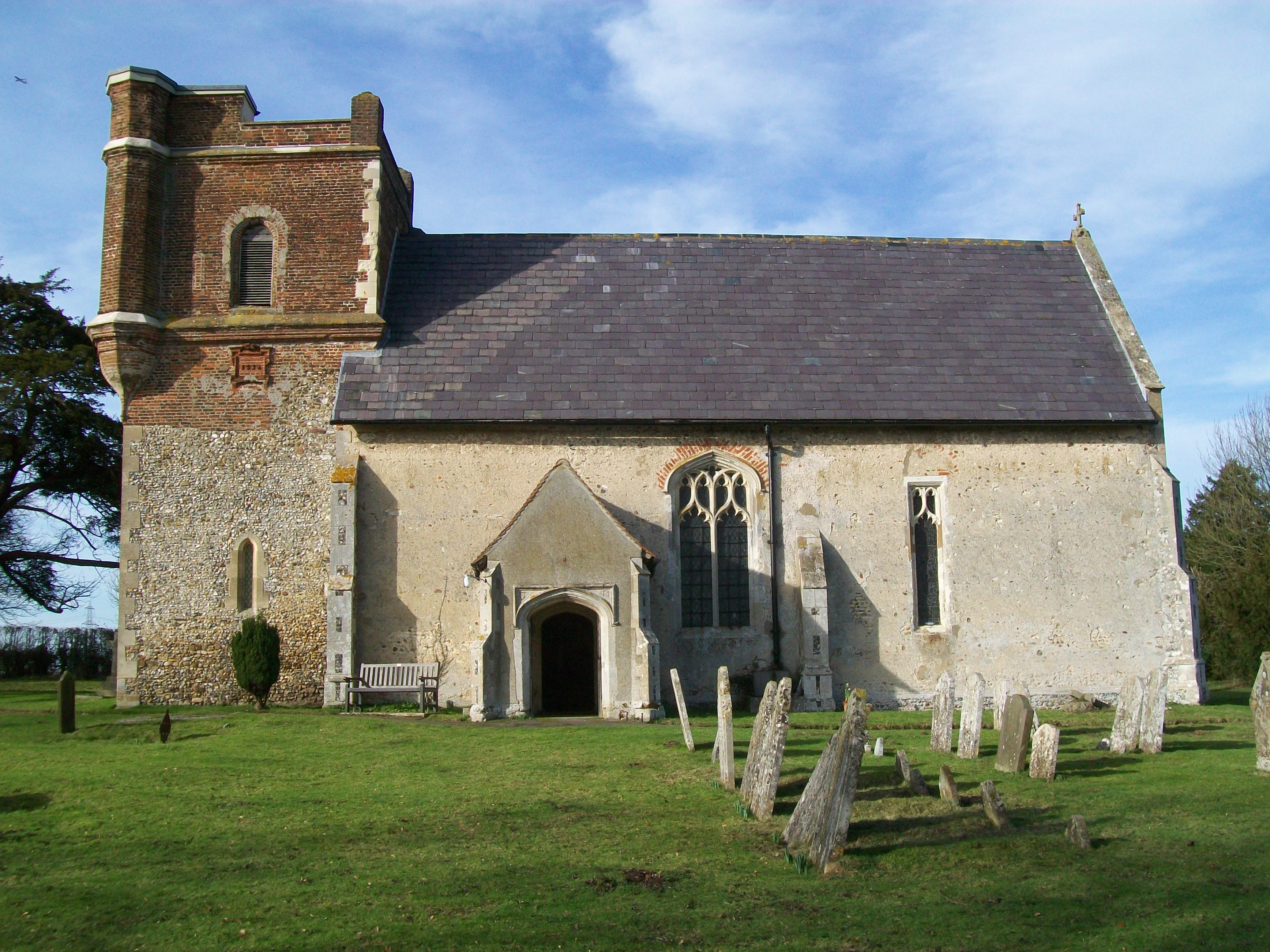
Church of St Mary the Virgin, Walkern
The parish church of St Mary the Virgin in Walkern, Hertfordshire, dates from before the Norman Conquest and has been altered in the succeeding centuries...
Nearby Amenities
Located within 500m of 51.949084,-0.094468881Have you been to Lodge Hill?
Leave your review of Lodge Hill below (or comments, questions and feedback).