Quarries Plantation

Wood, Forest in Lincolnshire East Lindsey

England

Quarries Plantation

Direction Sign – Signpost near Stainsby House in Greetham with Somersby parish Located on the northwest side of T junction northwest of Stainsby House in Greetham with Somersby parish. 3 arms and no finial. See also <a title="https://www.geograph.org.uk/photo/6038852" href="https://www.geograph.org.uk/photo/6038852">Link</a>.

Milestone Society National ID: LI_TF3371
Direction Sign – Signpost near Stainsby House in Greetham with Somersby parish Credit: A Riley

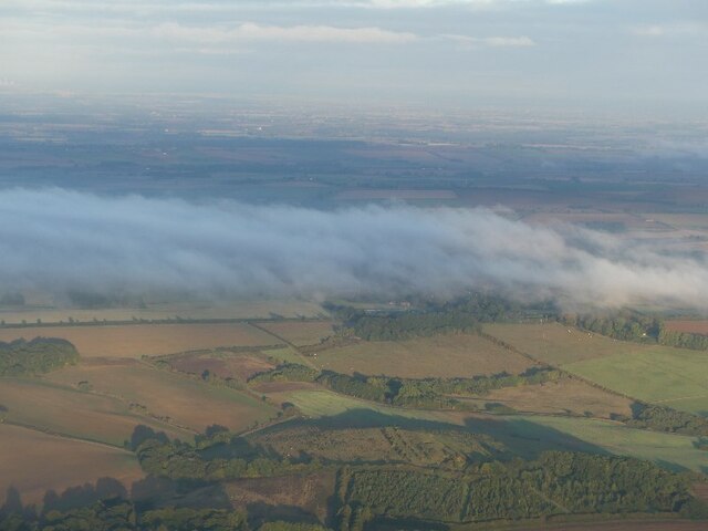
Quarries Plantation, located in Lincolnshire, is a picturesque woodland area encompassing a vast expanse of lush greenery and age-old trees. Situated in the heart of the county, the plantation is renowned for its rich biodiversity and serves as an important habitat for numerous plant and animal species.

Covering an area of several acres, Quarries Plantation is a haven for nature enthusiasts and outdoor lovers. The woodland is predominantly composed of a mix of deciduous and coniferous trees, including oak, birch, beech, and pine, creating a captivating tapestry of colors throughout the seasons.

The plantation offers a range of walking trails and paths that wind through the woods, providing visitors with the opportunity to immerse themselves in the tranquility of nature. These trails cater to different levels of difficulty, ensuring that both casual strollers and seasoned hikers can enjoy the plantation at their own pace.

Wildlife thrives within the confines of Quarries Plantation, with a multitude of species calling it home. From squirrels and rabbits to foxes and badgers, the woodland is a haven for mammals. Birdwatchers will also delight in the diverse avian population, with species such as woodpeckers, owls, and various songbirds making regular appearances.

Quarries Plantation is not only a recreational destination but also serves as an essential ecological asset. Its dense vegetation and diverse range of trees contribute to carbon sequestration, making it an important site for the mitigation of climate change.

Overall, Quarries Plantation in Lincolnshire offers a serene escape from the hustle and bustle of everyday life, providing visitors with an opportunity to reconnect with nature and appreciate the beauty of the British countryside.

If you have any feedback on the listing, please let us know in the comments section below.

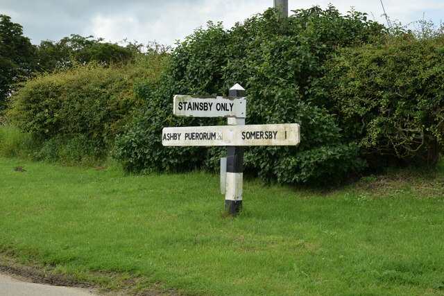
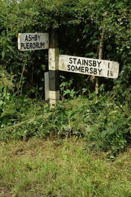
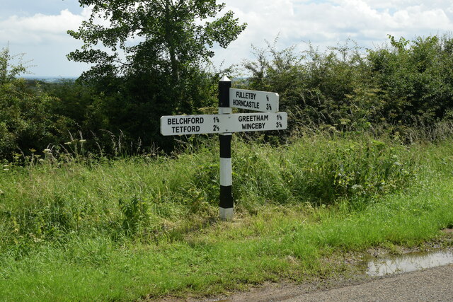
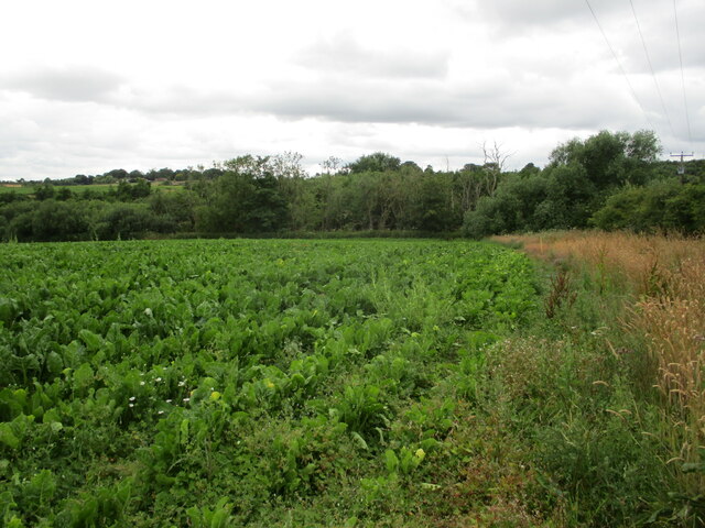
Quarries Plantation Images

Images are sourced within 2km of 53.235187/-0.026550557 or Grid Reference TF3172. Thanks to Geograph Open Source API. All images are credited.

Direction Sign – Signpost near Stainsby House in Greetham with Somersby parish Located on the northwest side of T junction northwest of Stainsby House in Greetham with Somersby parish. 3 arms and no finial. See also <a title="https://www.geograph.org.uk/photo/6038852" href="https://www.geograph.org.uk/photo/6038852">Link</a>.

Milestone Society National ID: LI_TF3371
Direction Sign – Signpost near Stainsby House in Greetham with Somersby parish
Located on the northwest side of T junction northwest of Stainsby House in Greetham with Somersby parish. 3 arms and no finial. See also Link. Milestone Society National ID: LI_TF3371
Direction Sign – Signpost near Ashby Puerorum in Greetham with Somersby parish Located on the north side of a T junction north of Ashby Puerorum, Greetham with Somersby parish. 2 arms and no finial.

Milestone Society National ID: LI_TF3271
Direction Sign – Signpost near Ashby Puerorum in Greetham with Somersby parish
Located on the north side of a T junction north of Ashby Puerorum, Greetham with Somersby parish. 2 arms and no finial. Milestone Society National ID: LI_TF3271
Direction Sign – Signpost near Ashby Puerorum in Greetham with Somersby parish Located on the north side of a T junction at Clapgate Farm northwest of Ashby Puerorum, Greetham with Somersby parish. 2 arms and no finial. See also <a title="https://www.geograph.org.uk/photo/6596283" href="https://www.geograph.org.uk/photo/6596283">Link</a>.

Milestone Society National ID: LI_TF3271A
Direction Sign – Signpost near Ashby Puerorum in Greetham with Somersby parish
Located on the north side of a T junction at Clapgate Farm northwest of Ashby Puerorum, Greetham with Somersby parish. 2 arms and no finial. See also Link. Milestone Society National ID: LI_TF3271A
Direction Sign – Signpost east of Fulletby Located on the east side of the T junction east of the village in Fulletby parish. 3 arms and no finial. See also <a title="https://www.geograph.org.uk/photo/6675144" href="https://www.geograph.org.uk/photo/6675144">Link</a>.

Milestone Society National ID: LI_TF3073
Direction Sign – Signpost east of Fulletby
Located on the east side of the T junction east of the village in Fulletby parish. 3 arms and no finial. See also Link. Milestone Society National ID: LI_TF3073
On field path, southwest of Holbeck, near Greetham
Autumn sown field near Greetham I have no idea why the telegraph pole is where it is.
Autumn sown field near Greetham
I have no idea why the telegraph pole is where it is.
Farm track and Hook's Plantation
Stinkmoor Holt and field of sugar beet
Abandoned field near Stinkmoor Holt
Hoe Hill, Fulletby: aerial 2022 (1) See: <span class="nowrap"><a title="https://www.heritagegateway.org.uk/Gateway/Results_Single.aspx?uid=MLI81838&resourceID=1006" rel="nofollow ugc noopener" href="https://www.heritagegateway.org.uk/Gateway/Results_Single.aspx?uid=MLI81838&resourceID=1006">Link</a><img style="margin-left:2px;" alt="External link" title="External link - shift click to open in new window" src="https://s1.geograph.org.uk/img/external.png" width="10" height="10"/></span>

The hill forms a ridge, almost detached from the main outcrops to the west, of Lower Cretaceous rocks protruding eastwards into the Lymn Valley.

The top of Hoe Hill is capped by a hard, brown ferruginous limestone known by geologists as the Carstone not Chalk, which is of Upper Cretaceous age. This hard protective capping has preserved the hill shape as the River Lymn has eroded its way down through the succession. Below this capping the main slope of the hill is formed of softer mudstones and clays of the Tealby Formation. The base of the hill is formed of Claxby Ironstone. Below this hard basal unit is the Spilsby Sandstone Formation which is exposed over much of the Lymn Valley sides and is hidden beneath alluvial sediments in the valley bottom and tributary valleys.
Hoe Hill, Fulletby: aerial 2022 (1)
See: LinkExternal link The hill forms a ridge, almost detached from the main outcrops to the west, of Lower Cretaceous rocks protruding eastwards into the Lymn Valley. The top of Hoe Hill is capped by a hard, brown ferruginous limestone known by geologists as the Carstone not Chalk, which is of Upper Cretaceous age. This hard protective capping has preserved the hill shape as the River Lymn has eroded its way down through the succession. Below this capping the main slope of the hill is formed of softer mudstones and clays of the Tealby Formation. The base of the hill is formed of Claxby Ironstone. Below this hard basal unit is the Spilsby Sandstone Formation which is exposed over much of the Lymn Valley sides and is hidden beneath alluvial sediments in the valley bottom and tributary valleys.
Hoe Hill, Fulletby: aerial 2022 (2)
Fields SE of Salmonby: aerial 2022
Wetherton Hill and Candle Bottom, Greetham: aerial 2022
From Melbourne's Hill and Nine Pound Hole, Ashby Puerorum, towards Clapgate Farm and Holbeck: aerial 2022 Melbourne's Hill bottom right with Nine Pound Hole in the trees to its left. Above the trees in <a href="https://www.geograph.org.uk/gridref/TF3271">TF3271</a> is an unnamed hill with a byway (Sheep Dip Lane) running across (northwards) to Ashby Puerorum. The triangular of trees above that marks the left edge of Millam's Hill. Above that is Clapgate Farm, with Holbeck top left.
From Melbourne's Hill and Nine Pound Hole, Ashby Puerorum, towards Clapgate Farm and Holbeck: aerial 2022
Melbourne's Hill bottom right with Nine Pound Hole in the trees to its left. Above the trees in TF3271 is an unnamed hill with a byway (Sheep Dip Lane) running across (northwards) to Ashby Puerorum. The triangular of trees above that marks the left edge of Millam's Hill. Above that is Clapgate Farm, with Holbeck top left.
Littlehays Carr, north of Ashby Puerorum, and a hilltop south of Salmonby: aerial 2022 The hilltop is in <a href="https://www.geograph.org.uk/gridref/TF3272">TF3272</a> - see <a href="https://www.geograph.org.uk/photo/2968512">TF3272 : Former cattle pens near Horncastle</a> for full story.
Littlehays Carr, north of Ashby Puerorum, and a hilltop south of Salmonby: aerial 2022
The hilltop is in TF3272 - see TF3272 : Former cattle pens near Horncastle for full story.
From Somersby to Salmonby: aerial 2022 Via a hill south of Salmonby: see <a href="https://www.geograph.org.uk/photo/2968512">TF3272 : Former cattle pens near Horncastle</a>.
From Somersby to Salmonby: aerial 2022
Via a hill south of Salmonby: see TF3272 : Former cattle pens near Horncastle.
Early morning mist over Salmonby Carr: aerial 2022
Early morning mist over Fulletby: aerial 2022 Hoe Hill in the foreground.
Early morning mist over Fulletby: aerial 2022
Hoe Hill in the foreground.
Show me another place!

Quarries Plantation is located at Grid Ref: TF3172 (Lat: 53.235187, Lng: -0.026550557)

Administrative County: Lincolnshire

District: East Lindsey

Police Authority: Lincolnshire

What 3 Words

///gratuity.foreheads.busy. Near Horncastle, Lincolnshire

Related Wikis

Salmonby

Salmonby is a village in the civil parish of Tetford, in the East Lindsey district of Lincolnshire, England. It is situated 5.5 miles (8.9 km) north-east...

Greetham with Somersby

Greetham with Somersby is a civil parish in the East Lindsey district of Lincolnshire, England. It is situated approximately 3 miles (5 km) north-east...

Ashby Puerorum

Ashby Puerorum is a small village and former civil parish, now in the parish of Greetham with Somersby, in the East Lindsey district of Lincolnshire, England...

Tetford

Tetford is a village and civil parish in the East Lindsey district of Lincolnshire, England. == History == Tetford is listed as "Tesforde" in the Domesday...

Fulletby

Fulletby is a village and a civil parish in the East Lindsey district of Lincolnshire, England. It is in the Lincolnshire Wolds, and 3 miles (5 km) north...

East Lindsey

East Lindsey is a local government district in Lincolnshire, England. Its council is based in Horncastle and the largest town is Skegness. Other towns...

Greetham, Lincolnshire

Greetham ( GREET-əm) is a village and former civil parish, now in the parish of Greetham with Somersby, in the East Lindsey district of Lincolnshire, England...

Somersby Grange

Somersby Grange is a Grade I listed Georgian country house in Somersby, Lincolnshire.The house was built in 1722 for Robert Burton, the local lord of the...

Nearby Amenities

Located within 500m of 53.235187,-0.026550557
Hill Farm
Place: farm
Source: Bing
Lat/Long: 53.239054/-0.027146
Power: pole
Source: Bing
Lat/Long: 53.2388193/-0.0239732
Power: pole
Lat/Long: 53.2354685/-0.03088
Power: pole
Lat/Long: 53.2357289/-0.0237184
Power: pole
Lat/Long: 53.2360172/-0.0296566
Power: pole
Source: Bing
Lat/Long: 53.236557/-0.0237808
Power: pole
Lat/Long: 53.2365693/-0.0285468
Power: pole
Lat/Long: 53.2371243/-0.0274126
Power: pole
Source: Bing
Lat/Long: 53.2373976/-0.0238501
Power: pole
Lat/Long: 53.2376846/-0.0262848
Power: pole
Source: Bing
Lat/Long: 53.238229/-0.0239264
Power: pole
Lat/Long: 53.2382666/-0.0251192
Power: pole
Lat/Long: 53.2312806/-0.0233639
Power: pole
Lat/Long: 53.2320541/-0.0234293
Power: pole
Lat/Long: 53.2327809/-0.0234808
Power: pole
Lat/Long: 53.2336175/-0.0235575
Power: pole
Lat/Long: 53.234251/-0.0236103
Power: pole
Lat/Long: 53.2349377/-0.0236641
Holbeck
Alt Name: Houldbeck
Place: hamlet
Source: Bing
Lat/Long: 53.2348816/-0.0304433
Place: farm
Source: Bing
Lat/Long: 53.2344381/-0.0326025
The data included in this document is from www.openstreetmap.org. The data is made available under ODbL.

Have you been to Quarries Plantation?

Leave your review of Quarries Plantation below (or comments, questions and feedback).